Village · Cuenca · 1,105 m
Cañete
Cañete is a walled town in the Serranía Baja (lower Serranía) of Cuenca, some 70 km from the city, with an Islamic castle on a hill and a historic ensemble listed as a Bien de Interés Cultural in 1996. It had 1,841 inhabitants in 1940 and 767 in 2021. It was a marquisate of the Hurtado de Mendoza family and remembers Álvaro de Luna every year in La Alvarada.
On this page 10 sections
A town hanging from a hill
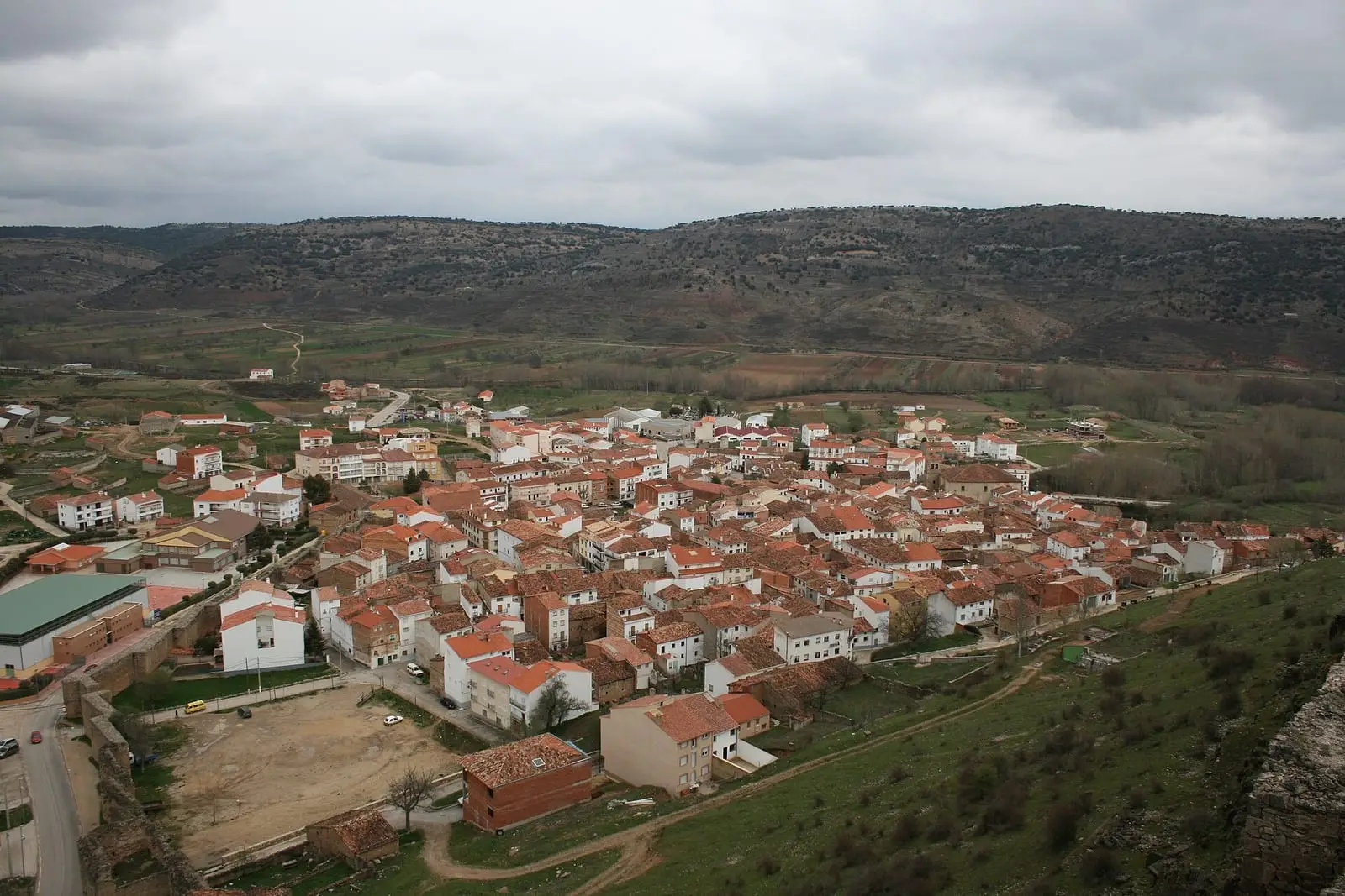
Cañete lies in the Serranía Baja, some 70 km from Cuenca. The houses climb the slopes of a long, narrow promontory, with the castle at the top, a hundred metres or so above the roofs, and the valley of the río Mayor del Molinico below. It was a frontier town: in 1222 it became a dependent village of Moya, in 1285 it received the title of villa (chartered town), and at the end of the 15th century it became a marquisate of the Hurtado de Mendoza family. It had Jewish and Morisco communities and prospered with the rise of the Mesta, the royal guild of stockbreeders.
The castle is a very long rock-top enclosure, divided into three spaces, with towers from the Islamic period and 15th-century alterations. The walls, with their sawtooth line, surround the old town, which has been a Bien de Interés Cultural (Spain’s highest heritage listing) since 1996. In December 2025 the restoration of the side wall went out to tender for 422,000 euros: some 130 metres on the outside, 90 on the inside and more than 1,400 m² of work.
From gate to gate
- The Puerta de las Eras, with its horseshoe arch, the gate of San Bartolomé, the gate of la Virgen and the Puerta del Rey.
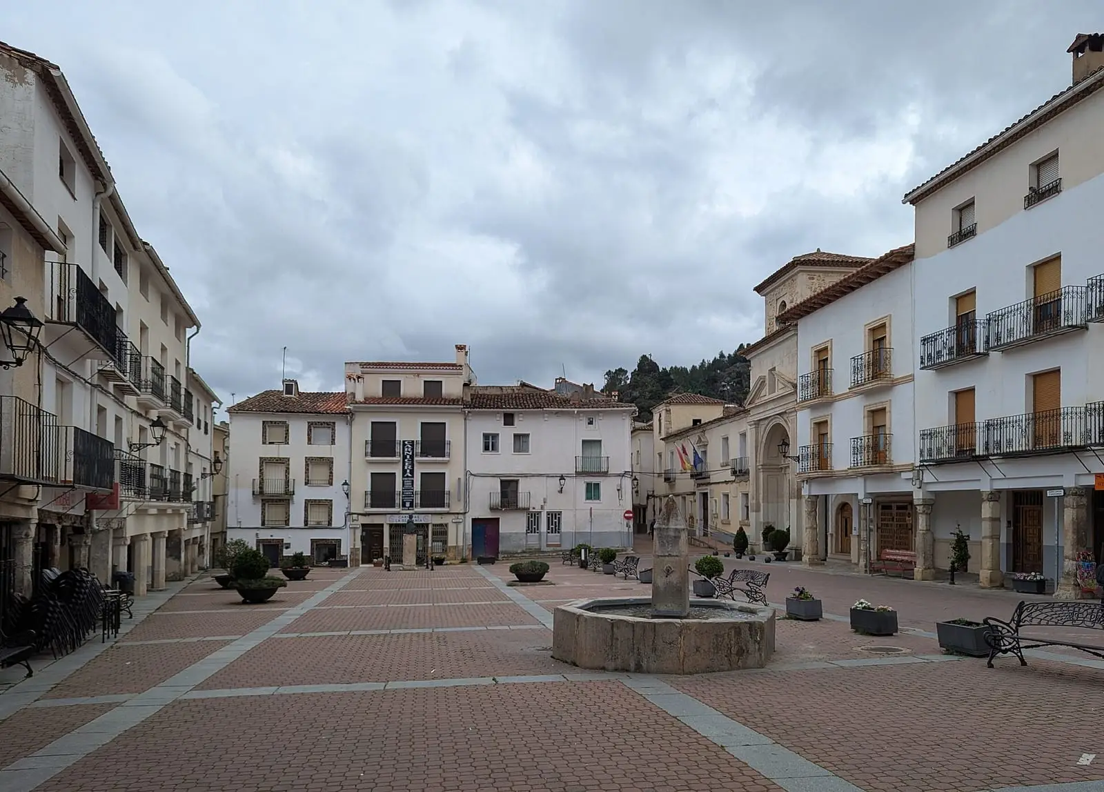
- The arcaded 15th-century Plaza Mayor.
- El Postigo, the gorge of the río de la Virgen below the wall, with houses resting against it.
- The Gothic-Mudéjar church of Santiago, the church of San Julián and the former College-Seminary.
- The arco de la Sinagoga (Synagogue Arch), La Picota and the vernacular architecture of the old town.
- On the outskirts, the hermitage of the Virgen de la Zarza, the patron saint’s.
What trades and memory tell
Álvaro de Luna and Andrés Hurtado de Mendoza, Viceroy of Peru, were both from Cañete, and the Sephardic family of Elias Canetti, winner of the 1981 Nobel Prize in Literature, is thought to have lived here. La Alvarada, a medieval festival, is dedicated to Álvaro de Luna; in September 2025 it reached its twenty-fifth edition. That year’s event recalled the journey made in 2003 by a delegation from Cañete to Cañete in Chile to twin the two towns. In the First Carlist War Cabrera occupied and fortified the town, and in the Civil War the Teruel front was close by.
Cañete went on celebrating carnival after the war, but without masks: with faces uncovered. The story is told in Carnaval de ánimas y noche de San Juan.
On 9 March 2024 the Hostería de Cañete was the venue announced for the second forum on traditional ecological knowledge, devoted to wood, water and the trades of the forest. The programme announced:
- an exhibition of traditional architecture and machinery;
- a talk by Emilio Guadalajara on the old resin and timber operations of the area.
In 1990 Emilio Escutia Asensio founded Radio Onda Municipal in Cañete, on 107.0 FM. This is told in the history published by Radio Serranía, which also records that a technical fault took it off the air.
Plan your visit
Cañete is best seen on foot, from gate to gate, finishing with the climb to the castle to look down on the town.
Before you travel
The streets are narrow and steep, and the castle has uneven ground. Check with the town council whether the churches are open. During La Alvarada the old town fills with people.
Combine with
Huérguina, which was once part of Cañete, is 3.5 km away as the crow flies, and Boniches 6.6 km.
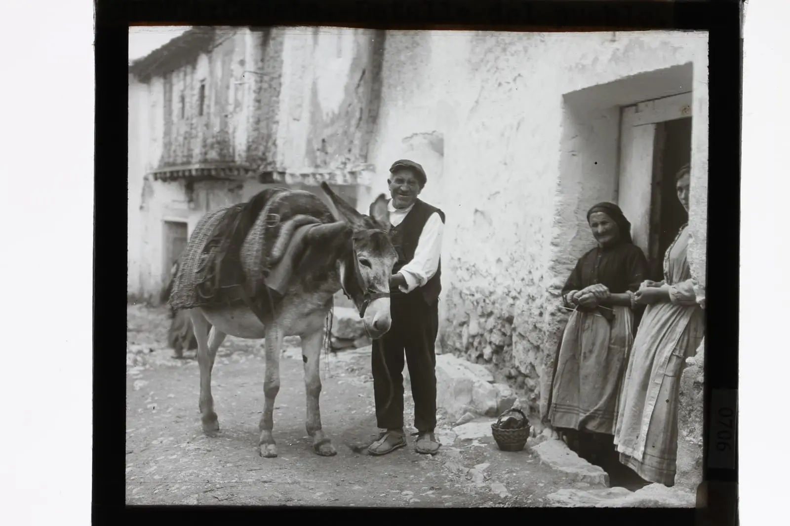
From the archive
Frequently asked questions
What is there to see in Cañete?
The castle, the walls with their gates (de las Eras, San Bartolomé, la Virgen and del Rey), the arcaded 15th-century Plaza Mayor, El Postigo with houses built against the wall, and the churches of Santiago and San Julián. The ensemble has been a Bien de Interés Cultural since 1996.
What is La Alvarada?
A medieval festival in Cañete dedicated to the town's famous son, Álvaro de Luna.
How many people live in Cañete?
767 in the 2021 census. The peak was 1,841 in 1940, according to the INE; between 1991 and 2011 the census rose from 802 to 932.
Carry on from here
The rivers, zones, eras, places and official routes that the atlas links with Cañete.
Lands and landscapes
From here, follow the memory of the land
These readings connect Cañete with the stories, the work and the villages around it.
Traces in the village and around it
Which eras you can read here
A single place can keep traces of several periods. These layers connect what you see with the atlas's stories.
Places in the municipality and around it
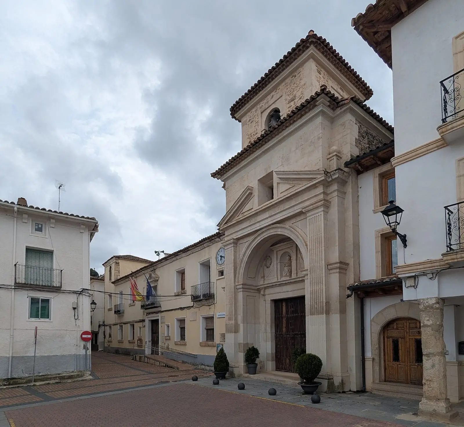
Former College-Seminary of San Julián
Cañete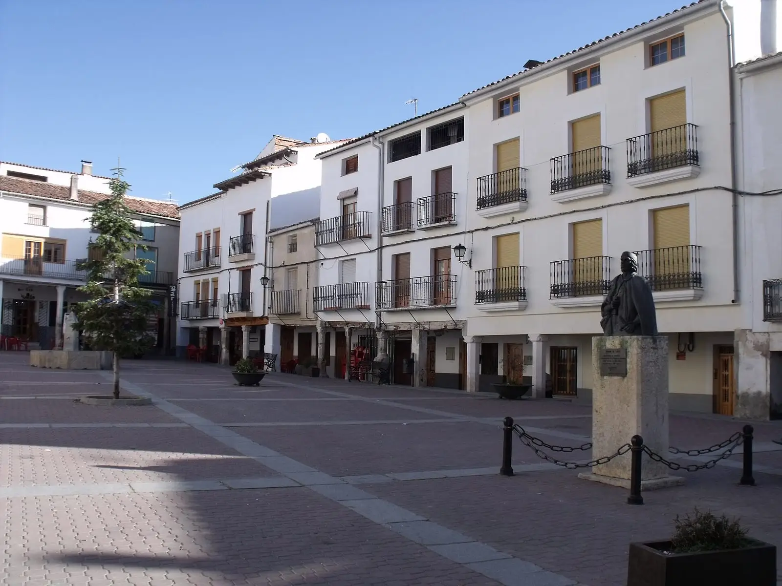
Vernacular architecture of Cañete
Cañete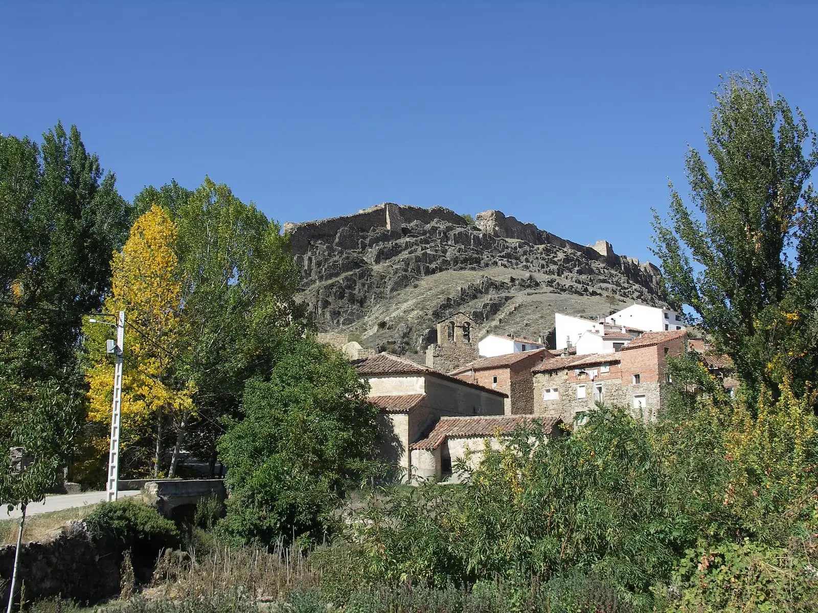
Cañete castle
CañeteCañete historic ensemble
Cañete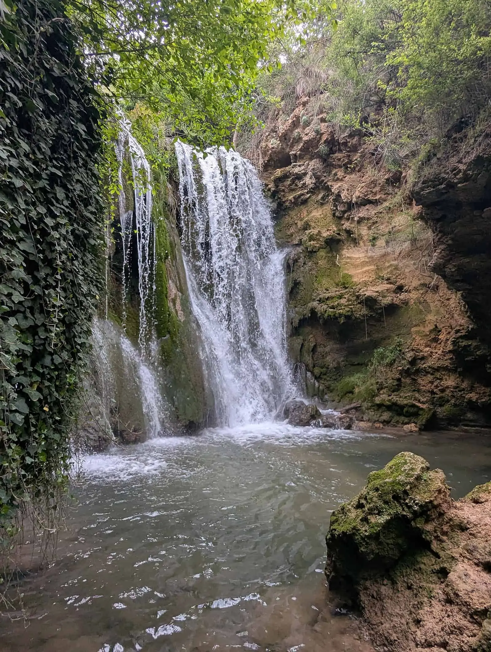
El Postigo de Cañete
Cañete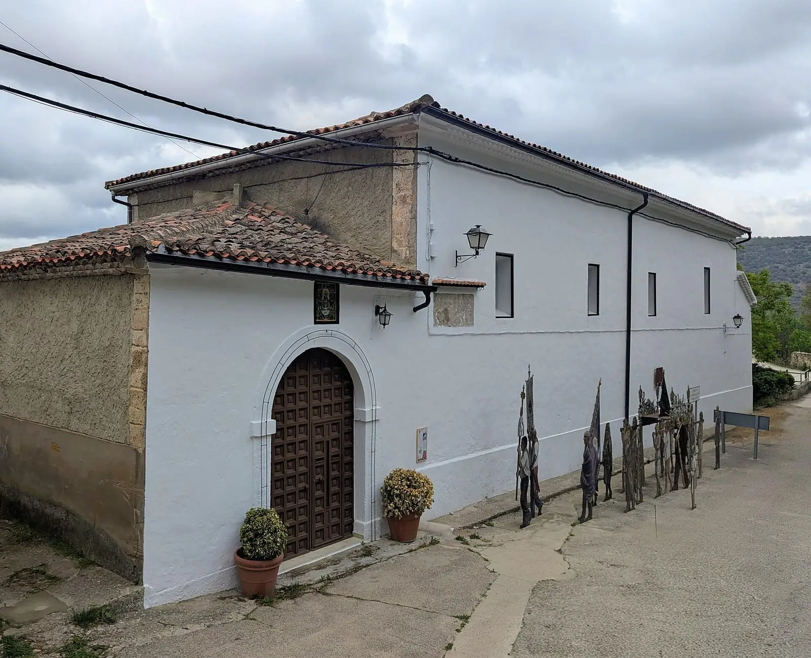
Hermitage of the Virgen de la Zarza
CañeteSee all 16 places
Church of San Julián, Cañete
Cañete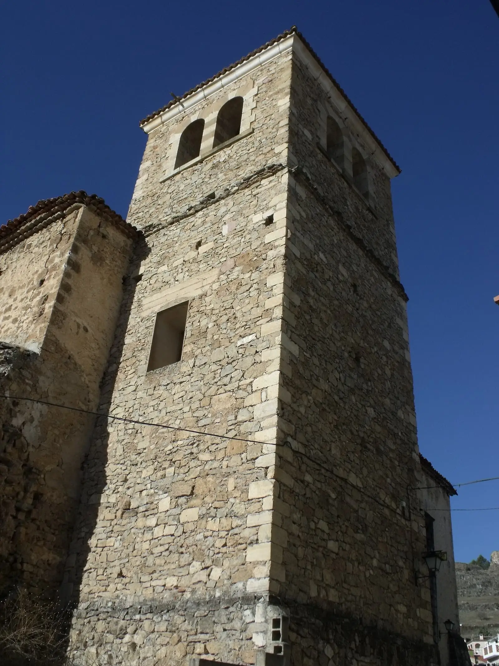
Church of Santiago, Cañete
Cañete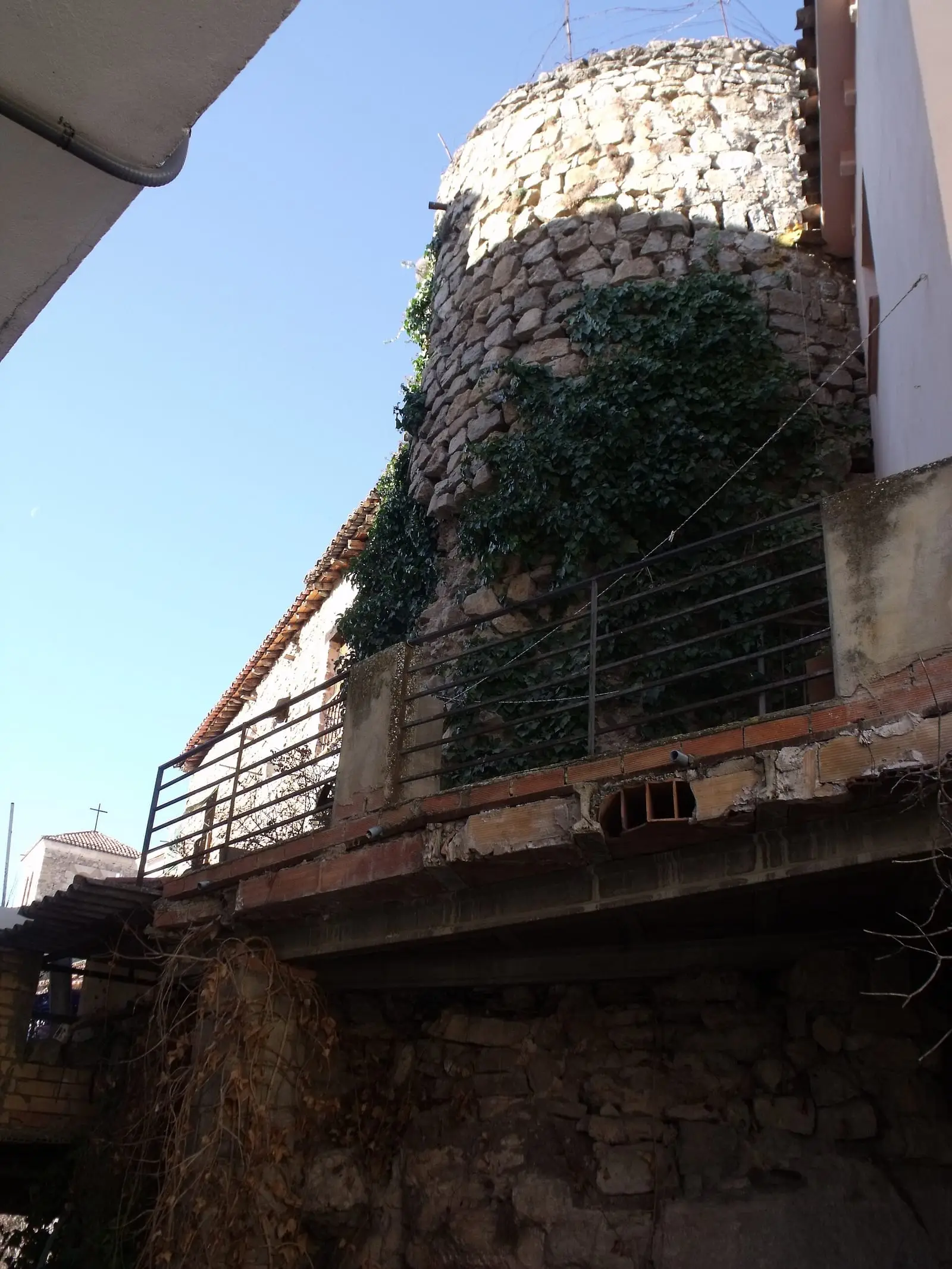
Walls of Cañete
CañetePlaza Mayor of Cañete
Cañete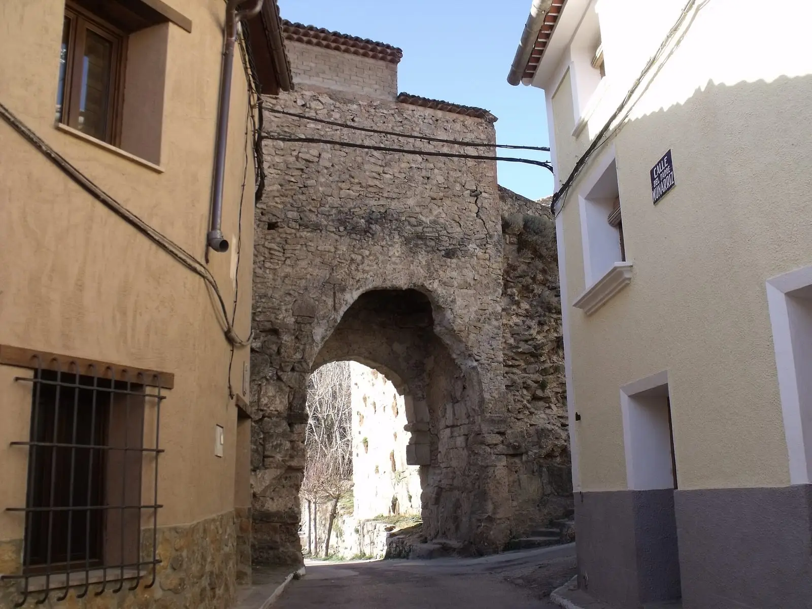
Puerta de la Virgen
Cañete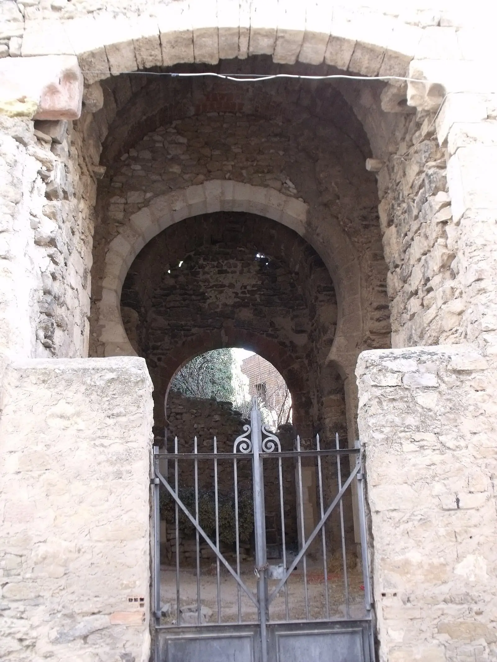
Puerta de las Eras
Cañete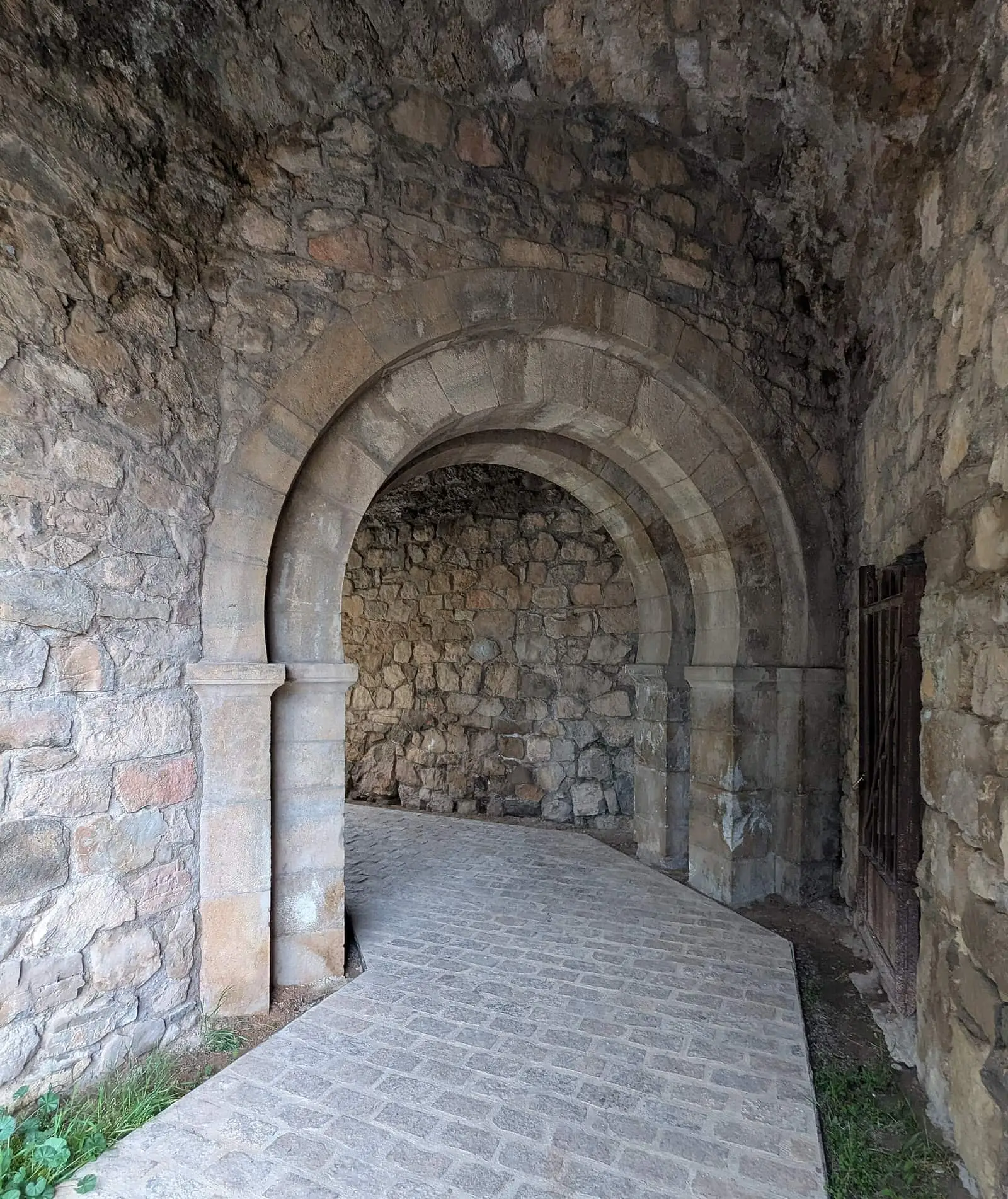
Puerta de San Bartolomé
CañeteArco de la Sinagoga de Cañete
CañeteLa Picota de Cañete
CañetePuerta del Rey
CañeteNear Cañete

Fuente del Royo picnic area
Huerta del Marquesado
Prao de San Roque picnic area
Huerta del MarquesadoPaisaje Ilustrado of Huerta del Marquesado
Huerta del MarquesadoSee 5 more

Fuente de la Ardilla picnic area
Valdemeca
Las Hoyas
La CiervaPaisaje Ilustrado of Valdemeca
Valdemeca
Valdemeca Visitor Reception Centre
Valdemeca
Beamud viewpoint
BeamudPopulation of Cañete, 1842–2021
Cañete reached 1,841 inhabitants in 1940. The 2021 census counted 767, 58 % fewer. It is the story told in the emptying.
Climate in Cañete month by month
Averages for the ten years from 2015 to 2024 from the ERA5 reanalysis (Copernicus), for a grid cell with a reference altitude of 1095 m. They are model estimates, not measurements from a local station or thirty-year climate normals.
Source: Copernicus ERA5 via Open-Meteo, CC BY 4.0. Retrieved: 2026-10-09.
Location
● Reference point · ● Villages · ● Places · ━ Routes nearby
Location sketch. The map with paths and names loads as you scroll to it.
Approximate position: village centre.
Reference villages: Huérguina · Boniches · Campillos-Sierra · Salinas del Manzano.
Open the full map and its historical layers →Where the data on this page come from
- Location
- IGN: Nomenclátor Geográfico Básico de España, capital de municipio (CC BY 4.0) source consulted, 9 October 2026
- Municipality (INE code)
- Turismo de Castilla-La Mancha source consulted, 4 October 2026
- Ayuntamiento de Cañete source consulted, 5 October 2026
- Name
- Turismo de Castilla-La Mancha source consulted, 4 October 2026
- Ayuntamiento de Cañete source consulted, 5 October 2026
- Altitude
- Ayuntamiento de Cañete source consulted, 5 October 2026
«Source consulted»: the primary source has been read. «Reference located»: the source has been identified but not yet read. «Open question»: the figure needs confirmation.
More about Cañete, told from the village: Cañete Town Council website.