Route · Huélamo
PR-CU 7: Ruta del Masegar
PR-CU 7, Ruta del Masegar, is a circular short-distance trail of 10.8 km with 474 m of elevation gain and about three and a half hours, of moderate difficulty, starting in Huélamo. It crosses the Júcar, climbs the Cañada de los Vallejuelos to El Masegar's former common ox pasture, ascends to the Las Encebras saddle, its highest point, and returns through shaded pine, holly and Portuguese-oak woodland.
- Code
- PR-CU 7
- Distance
- 10.8 km
- Elevation gain
- 474 m
- Time
- 3 h
- Layout
- Circular
- Difficulty
- Moderate
Walking time without travel or stops. Difficulty as graded by the official source. «Easy» does not mean accessible.
- PR-CU 7
- Huélamo
- El Masegar
Where to start
In Huélamo, together with PR-CU 29.
The route
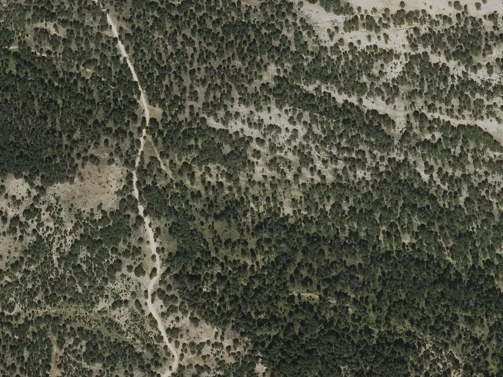
An old path descends to the Júcar, crosses river and road and climbs among former fields along the Cañada de los Vallejuelos, a drove road, to the gate of El Masegar, the former dehesa boyal, common ox pasture, where villagers turned out their draught teams. It follows the Las Chorreras stream through Umbría de Fuenlabrada, pine forest with undergrowth, to the Las Encebras saddle, the highest point. The descent crosses densely wooded shaded slopes of pines, hollies and Portuguese oaks.
Difficulty and time
Circular, 10.8 km and 474 m of elevation gain, about three and a half hours according to Senderos de Cuenca. Moderate difficulty. The regional government places the start beside the CM-2105 at kilometre 55.5.
Before you set out
Snow is common in winter.
Official route · Federación de Deportes de Montaña de Castilla-La Mancha y Diputación de Cuenca (Senderos de Cuenca) (PR-CU 7). Description, track and notices on the official route page (in Spanish). Before you set out, check there for changes or closures.
Frequently asked questions
What was El Masegar?
Huélamo's former dehesa boyal, common ox pasture, communal land for villagers' livestock.
What altitude does it reach?
The Las Encebras saddle is its highest point.
Carry on from here
Lands and landscapes
From here, follow the memory of the land
These readings connect Ruta del Masegar with the stories, the work and the villages around it.
Where it is
● Villages · ● Places · ━ Simplified official route
Location sketch. The map with paths and names loads as you scroll to it.
Reference villages: Huélamo · Valdemeca · Tragacete · Beamud.
Open the full map and its historical layers →Where the data on this page come from
- Name
- Federación de Deportes de Montaña de Castilla-La Mancha (FDMCM) / Senderos de Cuenca source consulted, 4 October 2026
- FDMCM · Diputación Provincial de Cuenca source consulted, 4 October 2026
- Junta de Comunidades de Castilla-La Mancha — Parque Natural source consulted, 4 October 2026
- Federación de Deportes de Montaña de Castilla-La Mancha source consulted, 5 October 2026
- Municipality (INE code)
- Federación de Deportes de Montaña de Castilla-La Mancha (FDMCM) / Senderos de Cuenca source consulted, 4 October 2026
- FDMCM · Diputación Provincial de Cuenca source consulted, 4 October 2026
- Junta de Comunidades de Castilla-La Mancha — Parque Natural source consulted, 4 October 2026
- Route data
- Federación de Deportes de Montaña de Castilla-La Mancha (FDMCM) / Senderos de Cuenca source consulted, 4 October 2026
- FDMCM · Diputación Provincial de Cuenca source consulted, 4 October 2026
- Junta de Comunidades de Castilla-La Mancha — Parque Natural source consulted, 4 October 2026
- Federación de Deportes de Montaña de Castilla-La Mancha source consulted, 5 October 2026
«Source consulted»: the primary source has been read. «Reference located»: the source has been identified but not yet read. «Open question»: the figure needs confirmation.