Village · Cuenca
Valdemeca
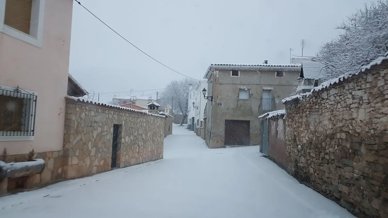
Valdemeca is a village in Serranía Alta (upper Serranía), within the Natural Park, at the foot of its namesake range, known for mushrooms. It has a Paisaje Ilustrado of 18 steel sculptures by Luis Zafrilla, the La Puentecilla ethnographic museum and a visitor centre. It reached 734 inhabitants in 1910 and had 76 in 2021.
On this page 9 sections
Mountains of red sandstone and mushrooms
Valdemeca lies in the heart of Serranía Alta (upper Serranía), within the Natural Park. Its range is rodeno, red sandstone, and especially rich in mushrooms: Scots-pine woods, maritime-pine woods, meadows and clearings give each species its place. The centre retains cobbled streets, stone houses, Plaza del Coso and the Asunción church.
In 2007 the regional government’s Environment magazine presented Valdemeca as an exception within the Natural Park: it had regulated mushroom gathering to bring income to the Town Council.
What trades and memory tell
Eighteen painted-steel figures by Luis Zafrilla stand around the village and its surroundings: shepherds, washerwomen, musicians and other everyday scenes. This is the Paisaje Ilustrado. The La Puentecilla Ethnographic Museum preserves objects from that same life. In 2001 the Esparvel association began restoring the province’s fountains here.
Around Valdemeca
- Visitor Reception Centre, devoted to the Park’s mushrooms.
- Centenar viewpoint, above the valley and mountains.
Routes
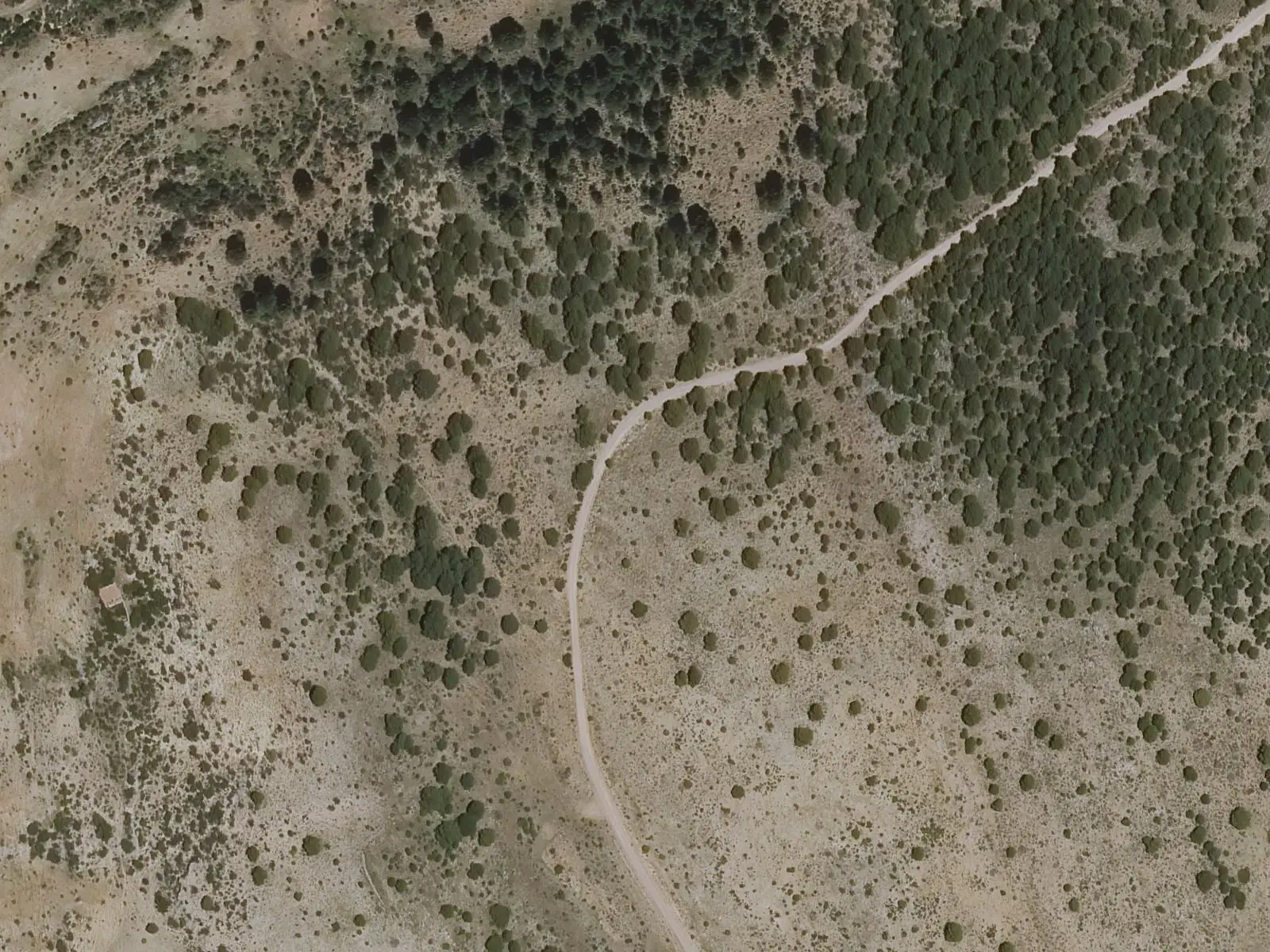
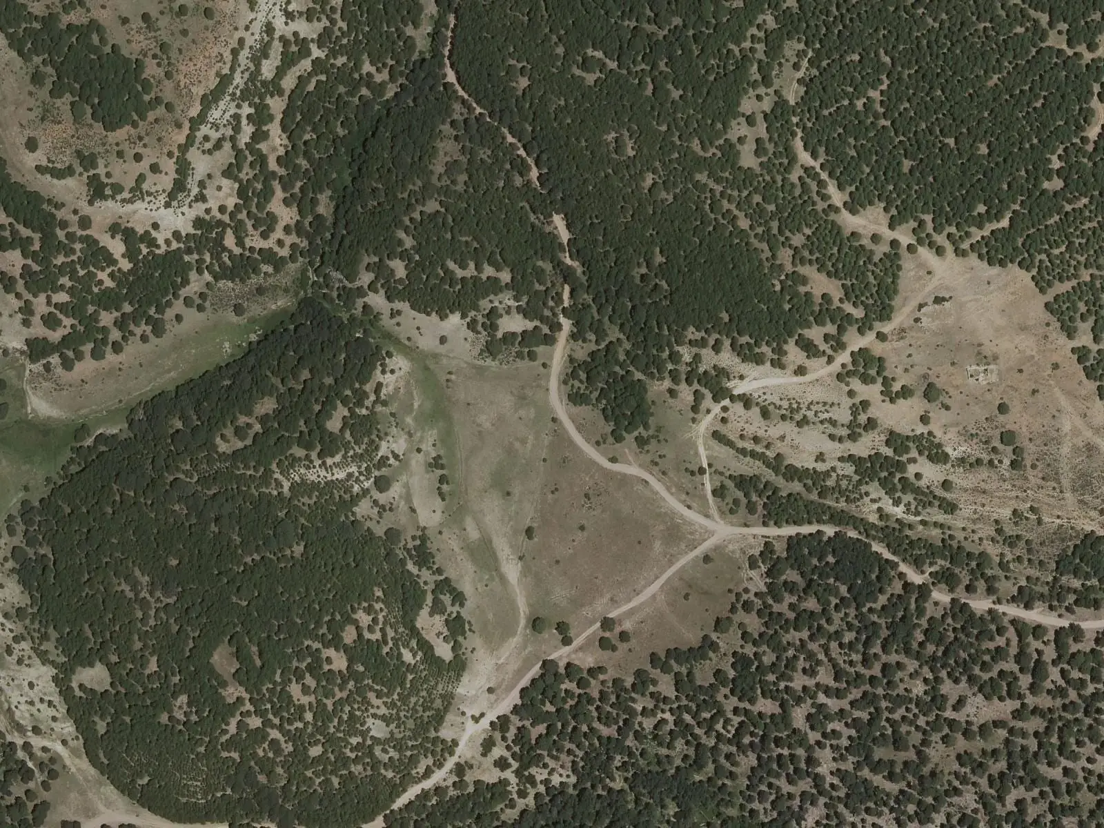
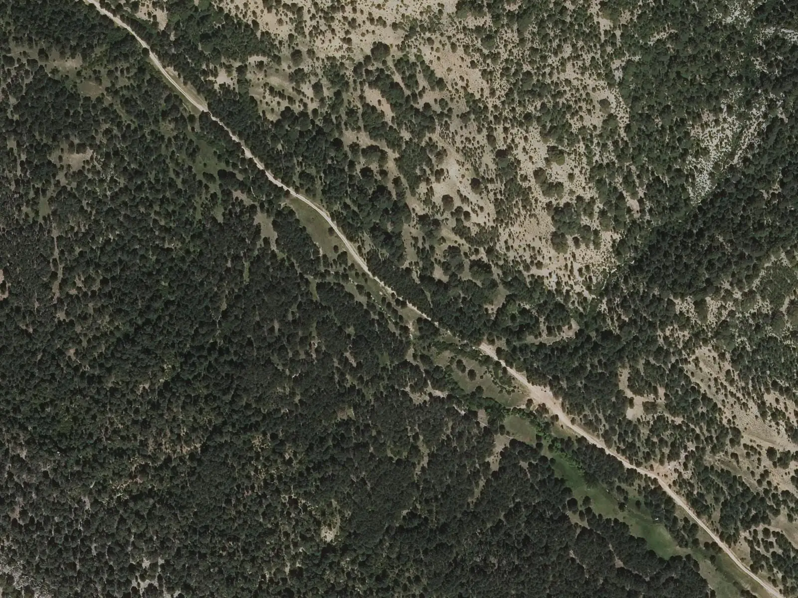
The PNSC-S8, Fuente de la Ardilla-Estepares, is a 4 km walk to learn to observe mushrooms. It leaves Fuente de la Ardilla picnic area, just over 3 km along the Huerta del Marquesado track.
The PR-CU 105 (short-distance trail), Sendero de la Casa del Cura, is 16.5 km with a steep climb. It follows a bridle path to the Casa del Cura meadow, where migrating livestock stopped, passes an abandoned rento, an isolated farmstead in the hills, with its oven, now a shelter, and old lime kilns, and returns via the Cordilleras cliffs and Centenar viewpoint. A detour reaches the Chorrera del Gollizno, best after rain.
Along the Casa del Cura path, guide Fernando Carreras points out old livestock shelters and lime kilns, recognisable by their stone circles, and the change from black pine to Scots pine on the climb. In the Cura valley, ruined houses remain beside meadows where migrating livestock spent summer, and a restored oven. Many springs rise through the valley and Huerta de los Descalzos, several repaired in recent years, and in wet periods the Chorrera del Gollizno can be heard breaking through a limestone barrier. On the return, from the Centenar viewpoint, the reddish Sierra Colorá is visible opposite. The names Cura and Descalzos do not prove that a priest or convent was there.
A children’s game using the flowers of a wild plant to make noise was recorded in Valdemeca; ethnographer Eduardo Bollo of Vestal Etnografía cited it from Etnobotánica en la Serranía de Cuenca when discussing games made from what the countryside provided: juniper or box skittles, balls of common juniper or elm, and spinning tops called chompos in Cuenca.
Plan your visit
The village, centre and Paisaje Ilustrado fit into a morning. Autumn is mushroom season. PR-CU 105 needs a day.
Before you travel
Confirm the visitor centre’s opening calendar with the regional government. On PNSC-S8, look at mushrooms without picking them: this is a regulated gathering area and collecting requires a town council permit.
Combine with
Laguna del Marquesado, Huélamo, Beamud and Huerta del Marquesado are about 8 km away in a straight line.
Frequently asked questions
What is Valdemeca's Paisaje Ilustrado?
A group of 18 painted-steel sculptures by artist Luis Zafrilla, spread through the village and surroundings, depicting everyday mountain life, according to Castilla-La Mancha Tourism.
Can mushrooms be gathered in Valdemeca?
Specimens must not be gathered on the Fuente de la Ardilla mycological route: observe and photograph them. It is a regulated mushroom-gathering area, and gathering there requires a permit from Valdemeca Town Council.
Which trails are there?
PNSC-S8 Fuente de la Ardilla-Estepares (Micológico), 4 km and 1.5 hours, and PR-CU 105 Sendero de la Casa del Cura, 16.5 km, 554 m of elevation gain and about 5 hours, starting at the village interpretation centre.
Carry on from here
The rivers, zones, eras, places and official routes that the atlas links with Valdemeca.
Lands and landscapes
From here, follow the memory of the land
These readings connect Valdemeca with the stories, the work and the villages around it.
Places in the municipality and around it


Official routes
Near Valdemeca
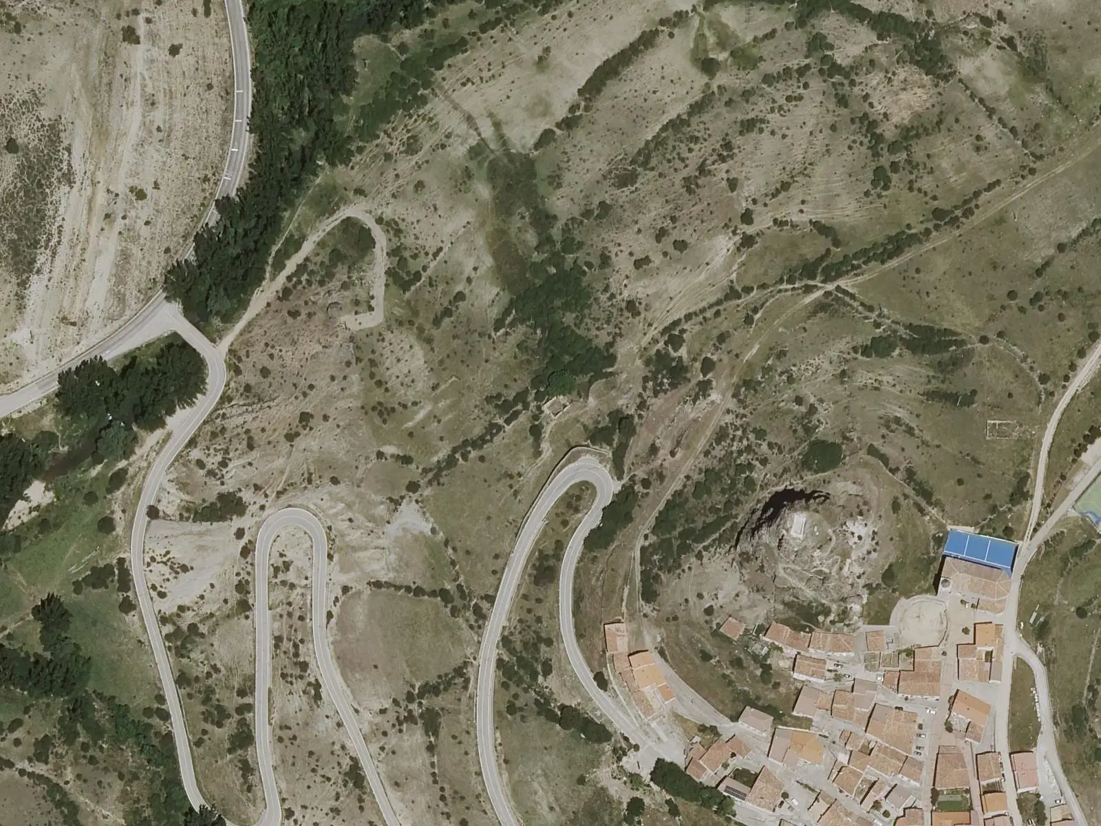
Huélamo castle
Huélamo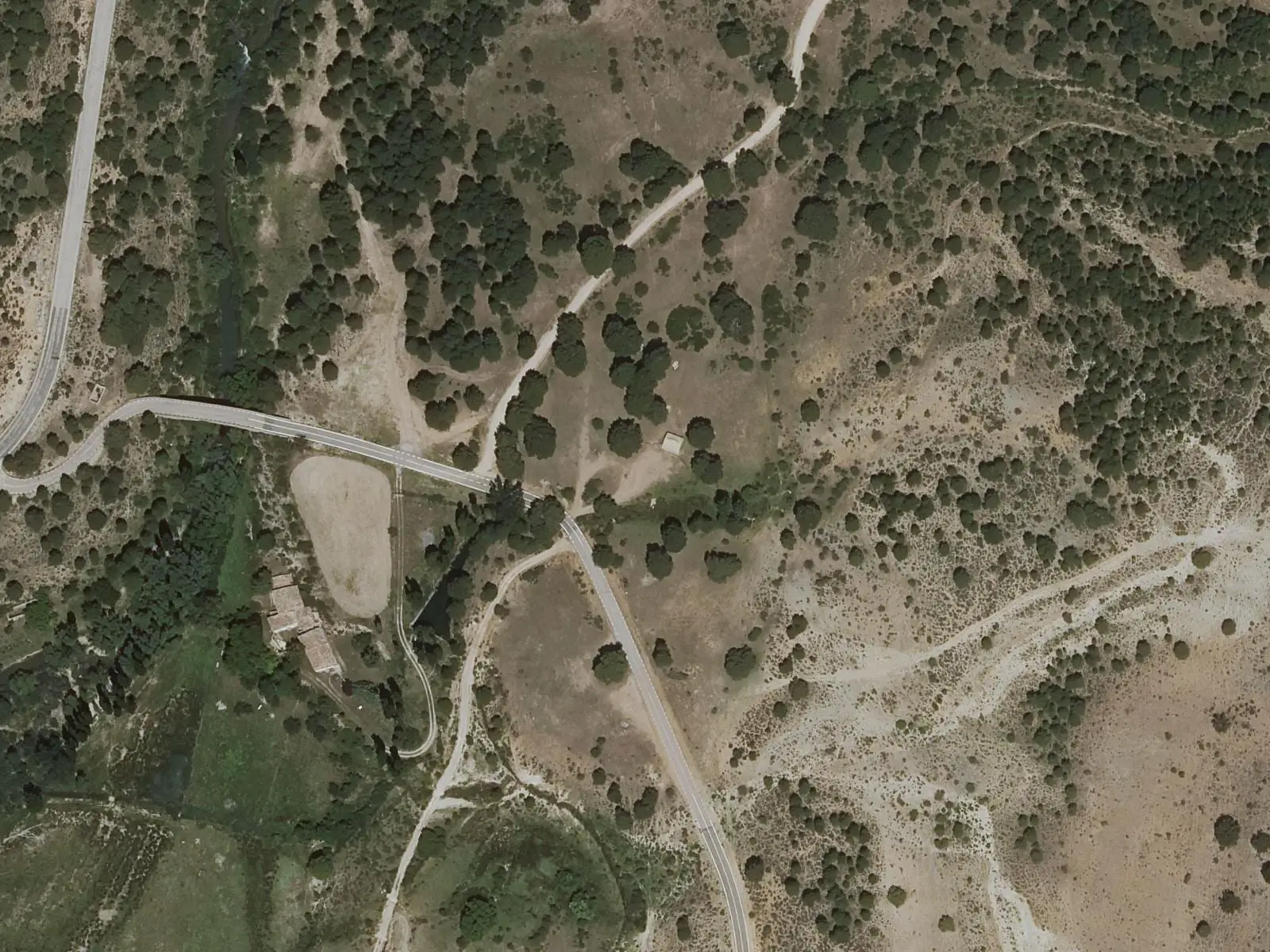
Molino de Juan Romero picnic area
Cuenca
Beamud viewpoint
BeamudSee 5 more
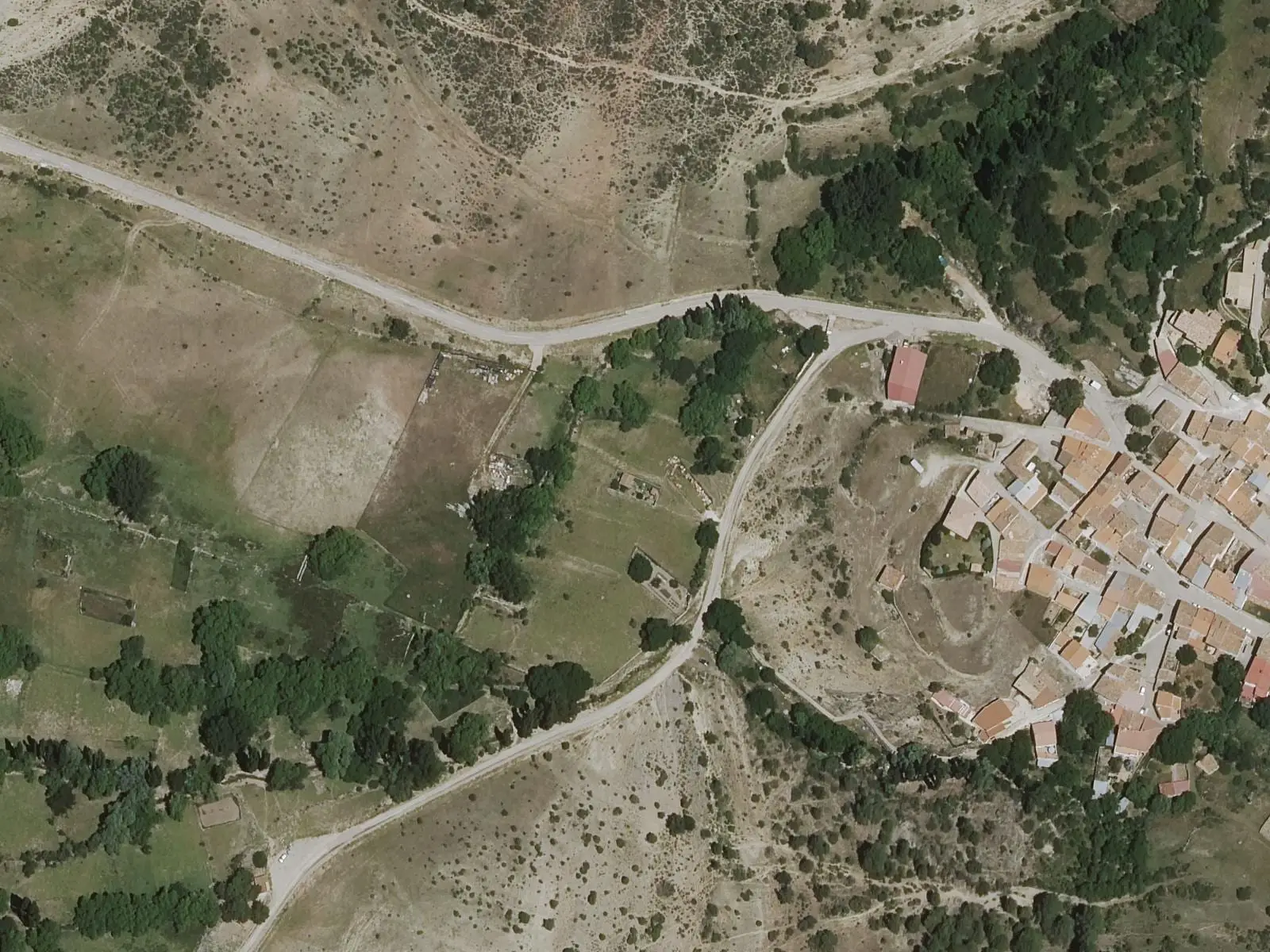
Fuente de los Pastores picnic area
BeamudPaisaje Ilustrado of Huerta del Marquesado
Huerta del Marquesado
Prao de San Roque picnic area
Huerta del Marquesado
Fuente del Royo picnic area
Huerta del Marquesado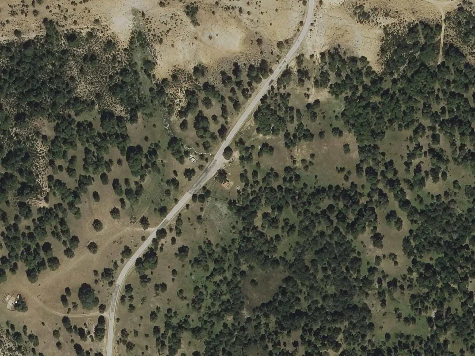
Fuente del Arenazo picnic area
CuencaPopulation of Valdemeca, 1842–2021
Valdemeca reached 734 inhabitants in 1910. The 2021 census counted 76, 90 % fewer. It is the story told in the emptying.
Location
● Reference point · ● Villages · ● Places · ━ Routes nearby
Location sketch. The map with paths and names loads as you scroll to it.
Approximate position: village centre.
Reference villages: Laguna del Marquesado · Huélamo · Huerta del Marquesado · Beamud.
Open the full map and its historical layers →Where the data on this page come from
- Name
- IGN, Equipamiento Geográfico de Referencia Nacional: nombre oficial y código INE source consulted, 5 October 2026
- Turismo de Castilla-La Mancha source consulted, 4 October 2026
- Municipality (INE code)
- IGN, Equipamiento Geográfico de Referencia Nacional: nombre oficial y código INE source consulted, 5 October 2026
- Turismo de Castilla-La Mancha source consulted, 4 October 2026
- Protected areas
- Ley 5/2007, de 8 de marzo, de Declaración del Parque Natural de la Serranía de Cuenca (DOCM) reference located, 5 October 2026
- Junta de Castilla-La Mancha, Educación Ambiental: ficha técnica de la exposición «Serranía de Cuenca» reference located, 5 October 2026
- Location
- IGN: Nomenclátor Geográfico Básico de España, capital de municipio (CC BY 4.0) source consulted, 9 October 2026
«Source consulted»: the primary source has been read. «Reference located»: the source has been identified but not yet read. «Open question»: the figure needs confirmation.
More about Valdemeca, told from the village: the Valdemeca Town Council website.