Village · Cuenca
Beamud
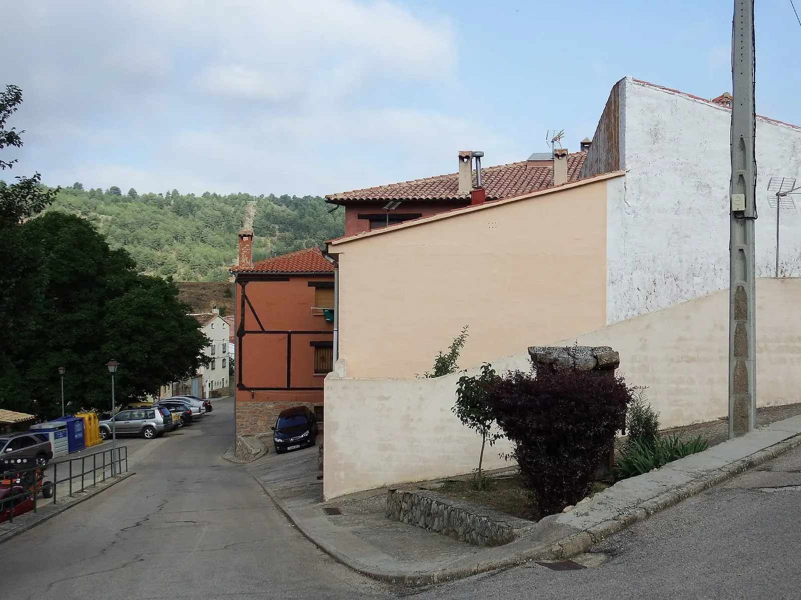
Beamud is a village in the Serranía Media (middle Serranía) of Cuenca, within the Natural Park, about 8 km from Valdemeca. An official trail, the PR-CU 112, offers three routes over limestone and rodenales to the Molino de Juan Romero. It had 585 inhabitants in 1877 and 39 in 2021, and has a cold climate.
On this page 10 sections
A Natural Park village
Beamud lies in the Serranía Media, within the Natural Park, between Valdemeca and La Toba reservoir. Access is along the CUV-9112 from the CM-2105. It is a village of cold and snow.
Routes
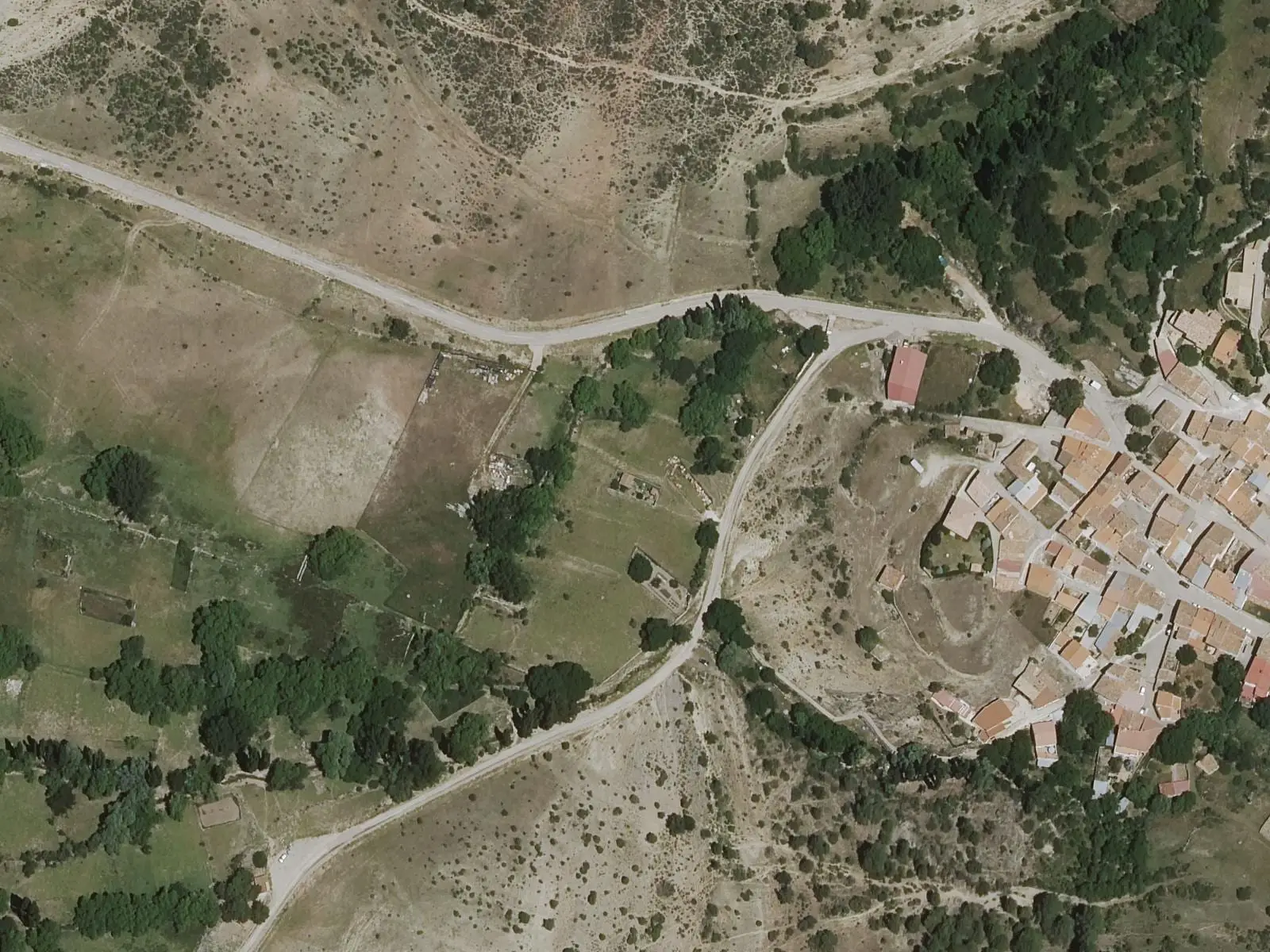
The PR-CU 112 short-distance trail leaves the village through woodland where the ground changes from limestone to rodeno, the red sandstone of the south-east, and with it the plants and colours: pine forests, Portuguese oaks and maples. It has three variants: the long one, 14 km, reaches the Molino de Juan Romero; the medium is 13 km and the short 9. Remains of woodland uses and springs lie along the way: Los Hontanares, El Cuco and the mill spring.
Springs, skittles and boundaries
Beamud lies in a valley between mountains where, villagers say, summer nights are good for sleeping because it is never hot at night. Paths lead from the village to its springs: El Hontanar, once the washhouse, Fuente de la Cerecea and Fuente de los Hontanares. Festivities honour San Antonio de Padua, from 9 to 14 August, with the main day on the 13th: there are charitable food distributions, communal meals, the Carrera de la Joya race and a traditional skittles tournament.
Its woods were summer pastures for transhumant livestock and the subject of lawsuits: in 1750 Beamud took Huélamo to court over El Entredicho, woodland wedged between several municipalities, and asked Cuenca to mark the boundary.
According to a presenter from the CuenCANP association, the Guadazaón rises here at Fuente de Cereceda; historian Heliodoro Cordente explains the village’s name as «río de los álamos» (river of the poplars). In the hills remain a lime kiln, a pitch kiln, the Puente de los Pastores and a shearing shed. The Esparvel association restored a two-chamber pitch kiln, at the town council’s initiative and funded by Cuenca Provincial Council (Diputación de Cuenca): it consolidated the buried part, rebuilt the walls and protected it. The work was announced in March 2025.
In summer 2024 the old schools’ square became a stage for the mountains’ pastoral memory. Actress Amanda Velloso staged testimonies collected in Tragacete during the Trashumancias programme residency. An orchestra of eight accordions conducted by Daniel Pérez accompanied her.
El Castellar and the Moorish woman with the golden comb
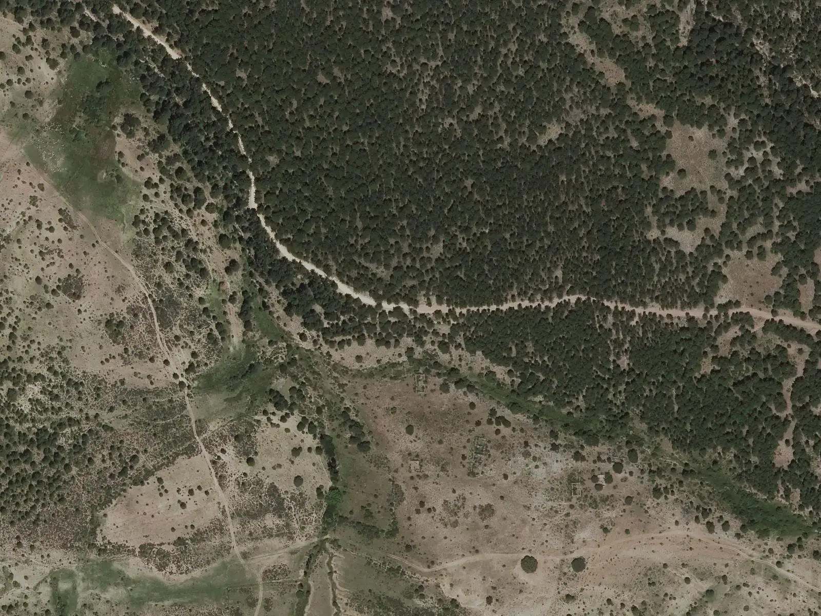
Above the village rises the Castellar hill, presented by a Serranía guide as a Celtiberian hillfort on the basis of a panel at its foot: a height easy to defend and surrounded by good pasture. What can be seen are placed rocks, remains of walls and buildings and what seem to be steps on the ascent; no excavation or dating is recorded. The hill has holm oaks and oaks, some large, among moss-covered blocks, and a sea of pines can be seen from above. Hollows in the rock suggest there might be a cave below, but nobody has explored it.
The legend comes from that supposed cave. An enchanted Moorish woman guards a golden comb. In the fullest version she appears at San Juan to a young man and makes him choose between the comb and her; if he chooses her, the roles reverse: he remains enchanted for a hundred years, in the cave in one version, wandering the hills in another, until someone chooses as he did.
Plan your visit
The short variant shows the woodland without taking the whole day. For the long one, start early.
Before you travel
The springs along the way are not drinking water: bring your own. In winter there is snow and ice on the tracks.
Combine with
Valdemeca is 8.4 km away as the crow flies and Huélamo 10.1.
Frequently asked questions
Which trail starts from Beamud?
The PR-CU 112, Beamud-Molino de Juan Romero, with three routes: long (14 km, 507 m of elevation gain, about 3.5 hours), medium (13 km) and short (9 km, 1.5 hours).
What can be seen along the way?
Pine, Portuguese-oak and maple woods on limestone soils and siliceous rodenales, with varied rock forms and colours, and ethnographic traces of woodland use. There are three natural, untreated water sources: Hontanares, El Cuco and the Molino de Juan Romero.
Carry on from here
The rivers, zones, eras, places and official routes that the atlas links with Beamud.
Lands and landscapes
From here, follow the memory of the land
These readings connect Beamud with the stories, the work and the villages around it.
Places in the municipality and around it

Official routes
Near Beamud
Molino de Juan Romero picnic area
Cuenca
Fuente de la Ardilla picnic area
Valdemeca
Valdemeca Visitor Reception Centre
ValdemecaSee 5 more
Paisaje Ilustrado of Valdemeca
Valdemeca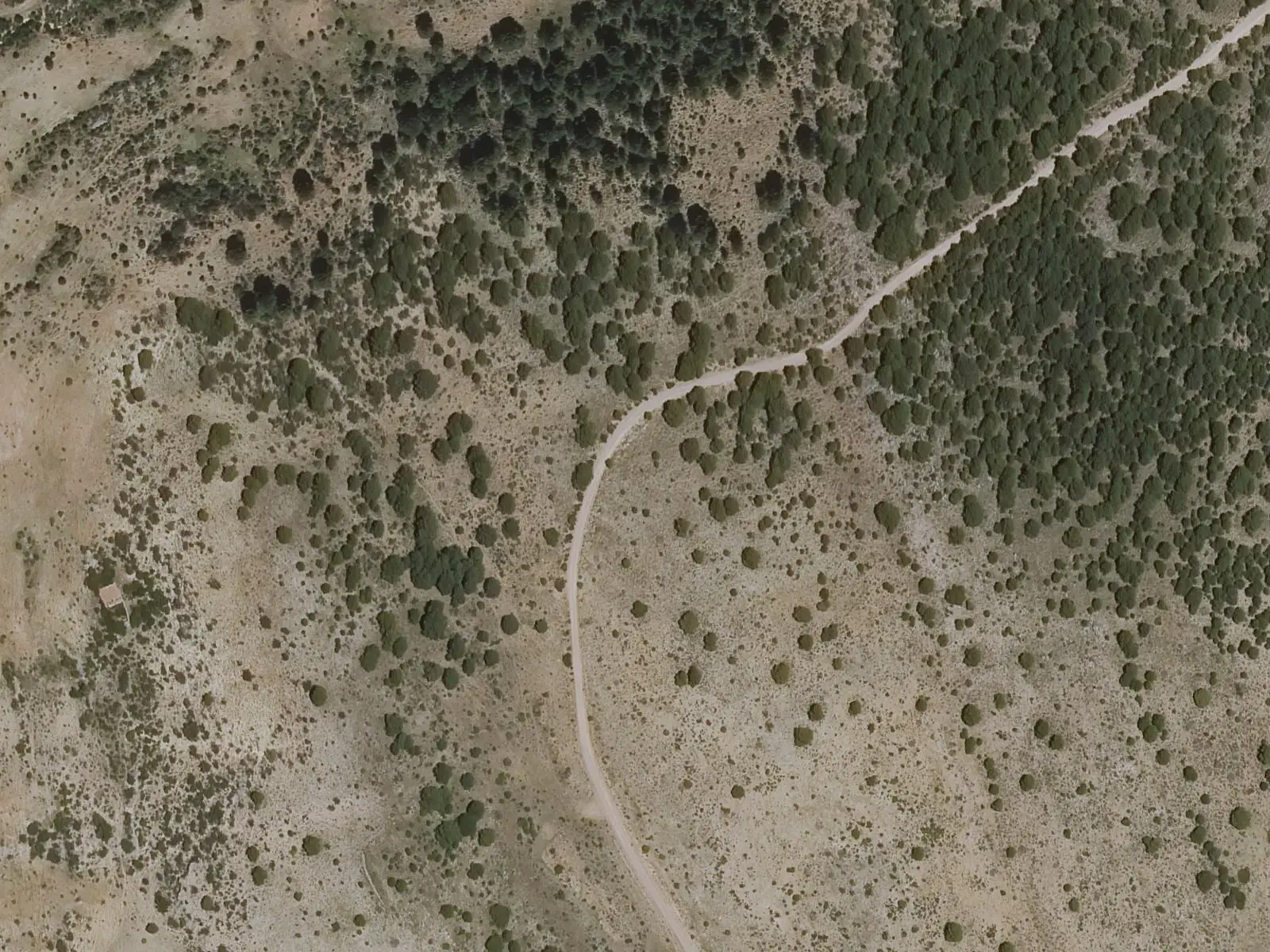
Centenar viewpoint
Valdemeca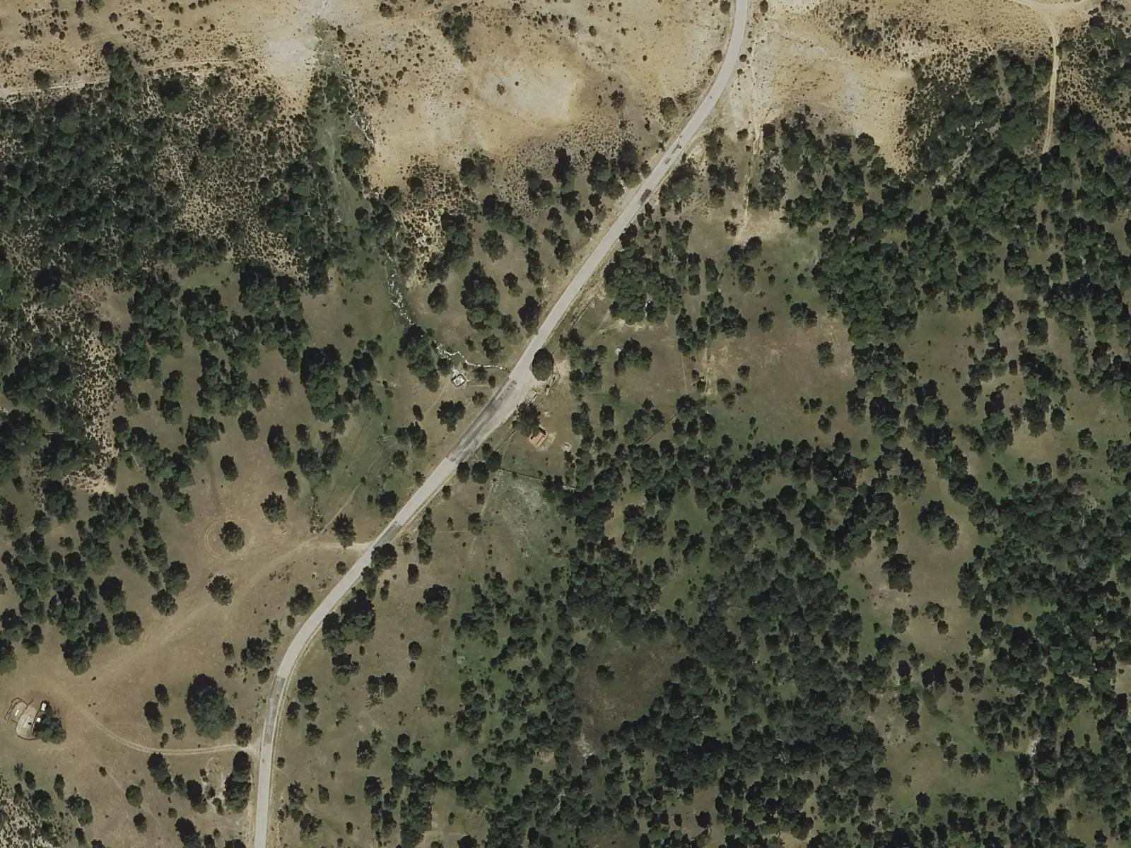
Fuente del Arenazo picnic area
Cuenca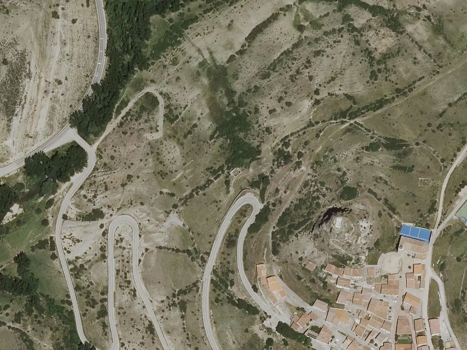
Huélamo castle
Huélamo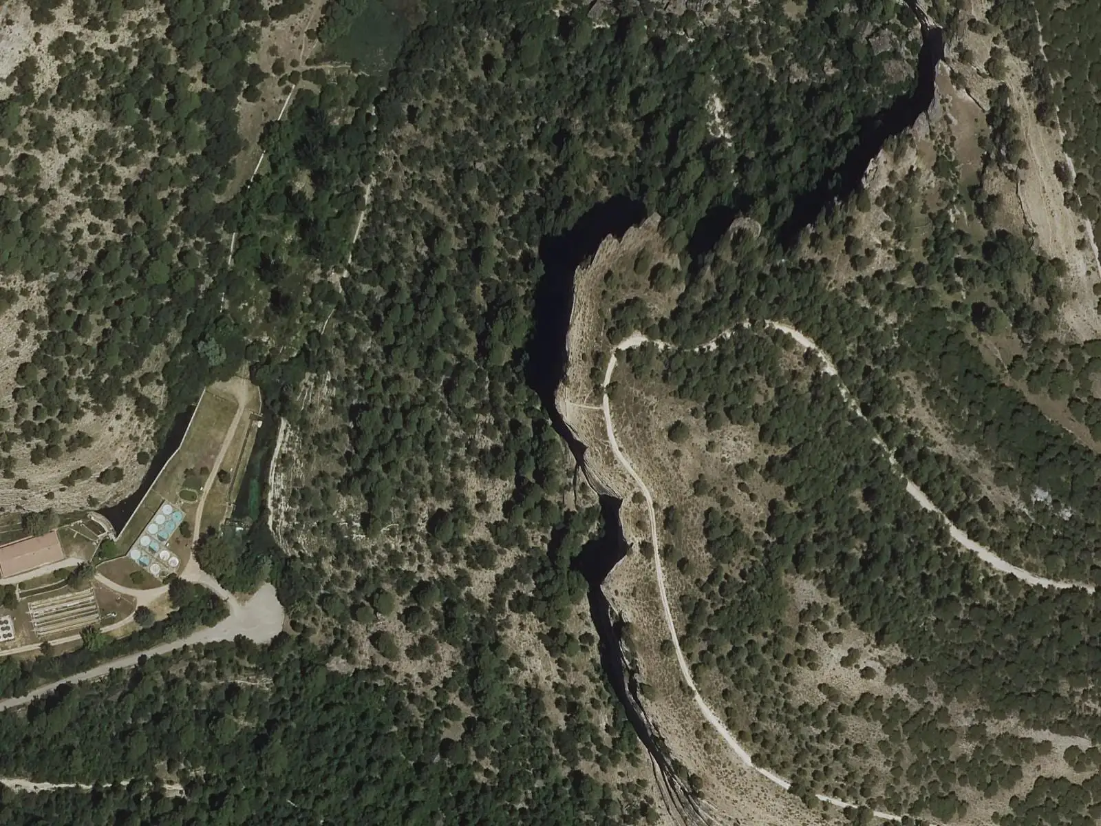
Refrentón viewpoint
UñaPopulation of Beamud, 1842–2021
Beamud reached 585 inhabitants in 1877. The 2021 census counted 39, 93 % fewer. It is the story told in the emptying.
Climate in Beamud month by month
Averages for the ten years from 2015 to 2024 from the ERA5 reanalysis (Copernicus), for a grid cell with a reference altitude of 1337 m. They are model estimates, not measurements from a local station or thirty-year climate normals.
Source: Copernicus ERA5 via Open-Meteo, CC BY 4.0. Retrieved: 2026-10-09.
Location
● Reference point · ● Villages · ● Places · ━ Routes nearby
Location sketch. The map with paths and names loads as you scroll to it.
Approximate position: village centre.
Reference villages: Valdemeca · Huélamo · Valdemoro-Sierra · Huerta del Marquesado.
Open the full map and its historical layers →Where the data on this page come from
- Name
- IGN, Equipamiento Geográfico de Referencia Nacional: nombre oficial y código INE source consulted, 5 October 2026
- Turismo de Castilla-La Mancha source consulted, 4 October 2026
- Municipality (INE code)
- IGN, Equipamiento Geográfico de Referencia Nacional: nombre oficial y código INE source consulted, 5 October 2026
- Turismo de Castilla-La Mancha source consulted, 4 October 2026
- Protected areas
- Ley 5/2007, de 8 de marzo, de Declaración del Parque Natural de la Serranía de Cuenca (DOCM) reference located, 5 October 2026
- Junta de Castilla-La Mancha, Educación Ambiental: ficha técnica de la exposición «Serranía de Cuenca» reference located, 5 October 2026
- Location
- IGN: Nomenclátor Geográfico Básico de España, capital de municipio (CC BY 4.0) source consulted, 9 October 2026
«Source consulted»: the primary source has been read. «Reference located»: the source has been identified but not yet read. «Open question»: the figure needs confirmation.