Júcar river basin district · memory of water
The Júcar in the Serranía de Cuenca
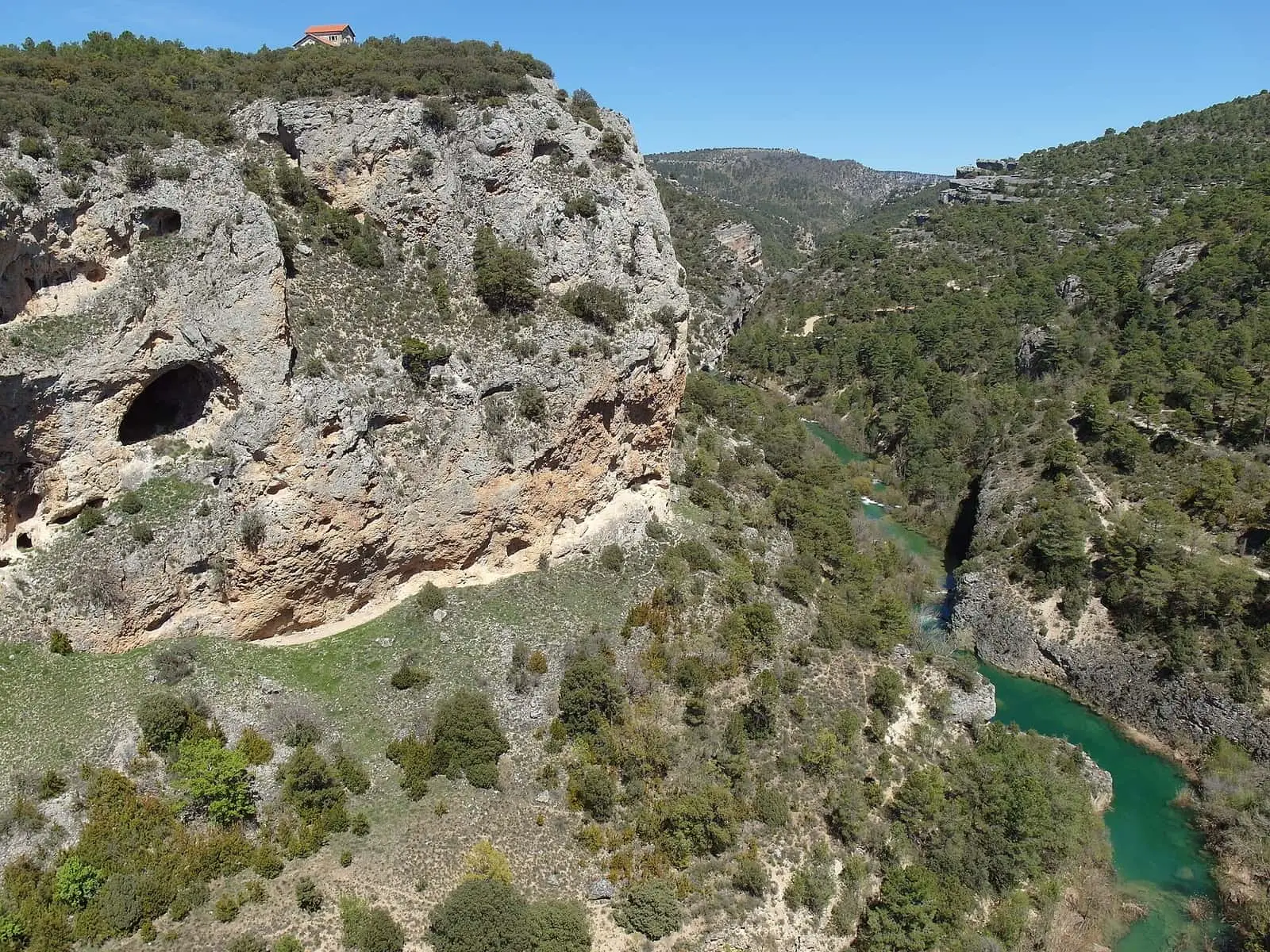
The Júcar rises in the municipality of Tragacete (Cuenca) and reaches the Mediterranean at Cullera (Valencia). In the Serranía it was a route for timber, which floated down towards Cuenca in spring, and from 1926 a source of electricity: its water drove the turbines of the Salto de Villalba, supplying Madrid.
- Flows into
- Mediterranean Sea (Cullera, Valencia)
- Confidence of the data
- high · source consulted
Júcar → Mediterranean Sea (Cullera, Valencia)
Fed by
From Tragacete to the Mediterranean
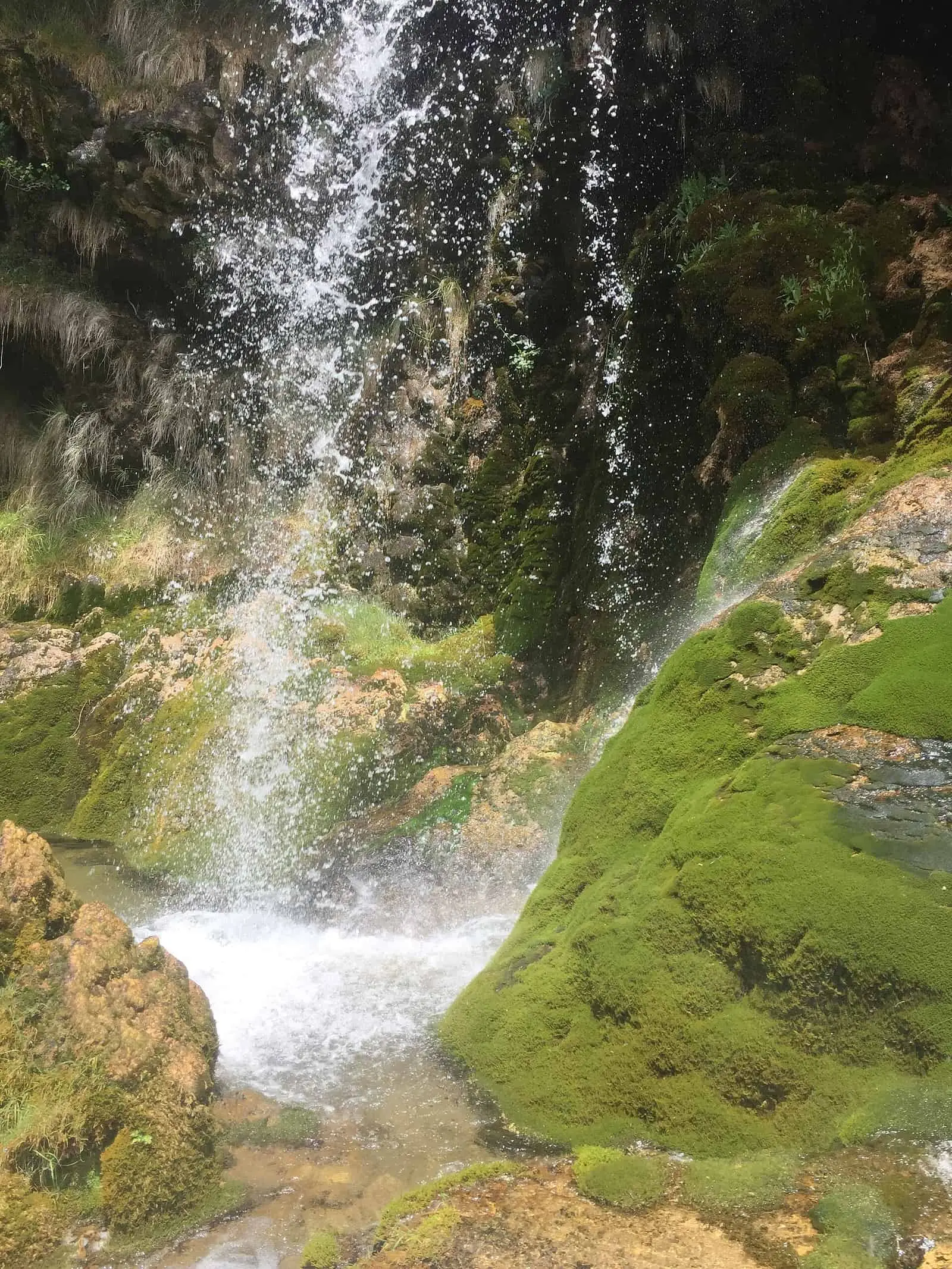
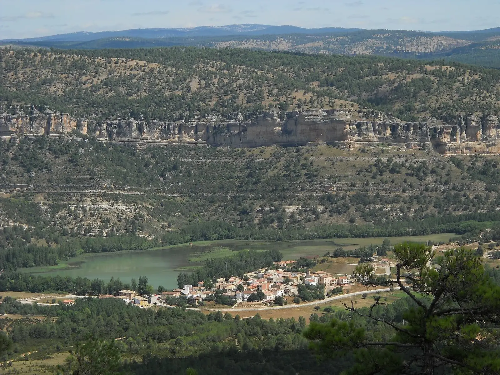
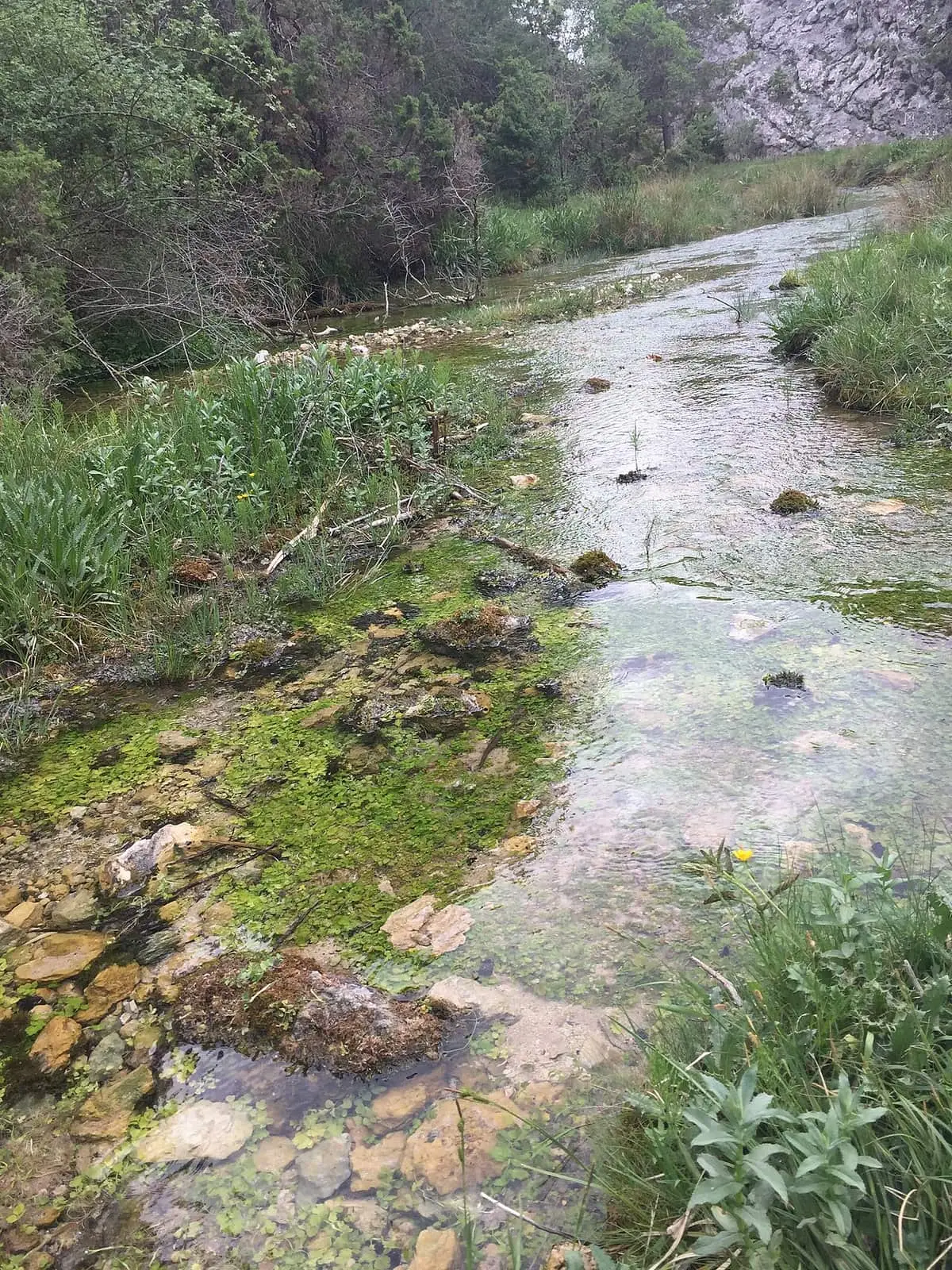
The Júcar rises in Tragacete, at the Ojuelos de Valdeminguete, in the San Blas area: water emerging at several points from the karst of the Muela de San Felipe. It makes its first drop at the Molino de la Chorrera waterfall, passes Huélamo, the lake at Uña and Villalba de la Sierra, crosses the city of Cuenca and continues through Albacete and Valencia to the Mediterranean at Cullera. The Cabriel joins it as a tributary.
What the river tells
- The timber route. For centuries, every spring, the Júcar carried the Serranía’s pines down towards Cuenca and, further downstream, Albacete and Valencia. When the Salto power station was built in the 1920s, it had to let that timber pass: logs used the channel itself and crossed the Rollo Frío siphon on an iron aqueduct.
- Water that brought light. From 1926 part of the river was diverted at La Toba reservoir, passed through Laguna de Uña and fell onto the Salto’s turbines in Villalba de la Sierra; the electricity went to Madrid. El Salto de Villalba.
Exploring the river
The Camino Natural del Júcar, a greenway of Spain’s national network, follows the river for about 220 km, from its source to the boundary with Albacete. In the Serranía, the PR-CU 79 short-distance trail climbs from San Blas to Cerro San Felipe.
The memory we can follow
About 125 million years ago – today
Water against limestone: how the Serranía was formed
From the Cretaceous lakes of Las Hoyas and rivers of Lo Hueco to the Ciudad Encantada, sinkholes, the Cuervo's tufa and the sediments of La Parra.
Read the story →from 1500 to 1800
Buying themselves
The Serranía from the 16th to 18th centuries: villages buying their own courts, lords, wool, paper and iron, travellers to Peru and China and the 1752 Cadastre.
Read the story →from 1177 to 1948
Everyone's woodland
Woodland ownership in the Serranía: Cuenca's hills, the king's pines, grazing disputes and villages that bought or lost their woods.
Read the story →1926 – today
El Salto de Villalba: a hundred years of light on the Júcar
How the Salto de Villalba hydroelectric station was built, life in its workers' settlement and why it gradually emptied, told by those who lived there.
Read the story →from the 1930s to the 1970s
The hearth, school and the road to Valencia
Life in Tragacete and Vega del Codorno in the 20th century: home and hearth, games, school, pig slaughter, war and leaving for domestic service.
Read the story →2000 – 2026
The Serranía in the 21st century
The Serranía de Cuenca today: 75% fewer people than in 1950, the Natural Park and Biosphere Reserve, new excavations and memory set in stone.
Read the story →Villages from which to read this basin
They are ways into its valleys and its memory. The selection includes riverside villages and those nearby; it does not mean that the whole of each municipality drains into this river.