Route · Cueva del Hierro
PR-CU 94: Subida al cerro Juez
PR-CU 94, Subida al cerro Juez, is a linear short-distance trail of 2.5 km with 227 m of elevation gain, almost entirely on footpath, from Cueva del Hierro to the Cerro Juez triangulation pillar at 1,543 m, the municipality's highest point. It passes a tileworks restored as a hostel and remains of stock folds beneath limestone overhangs.
- Code
- PR-CU 94
- Distance
- 2.5 km
- Elevation gain
- 227 m
- Layout
- Linear
- Difficulty
- Moderate
Walking time without travel or stops. Check the source to see whether distance and time include the return. Difficulty as graded by the official source. «Easy» does not mean accessible.
- PR-CU 94
- Cueva del Hierro
- Cerro Juez
Where to start
In Cueva del Hierro, on the east side, beside GR 66, a long-distance trail.
The route
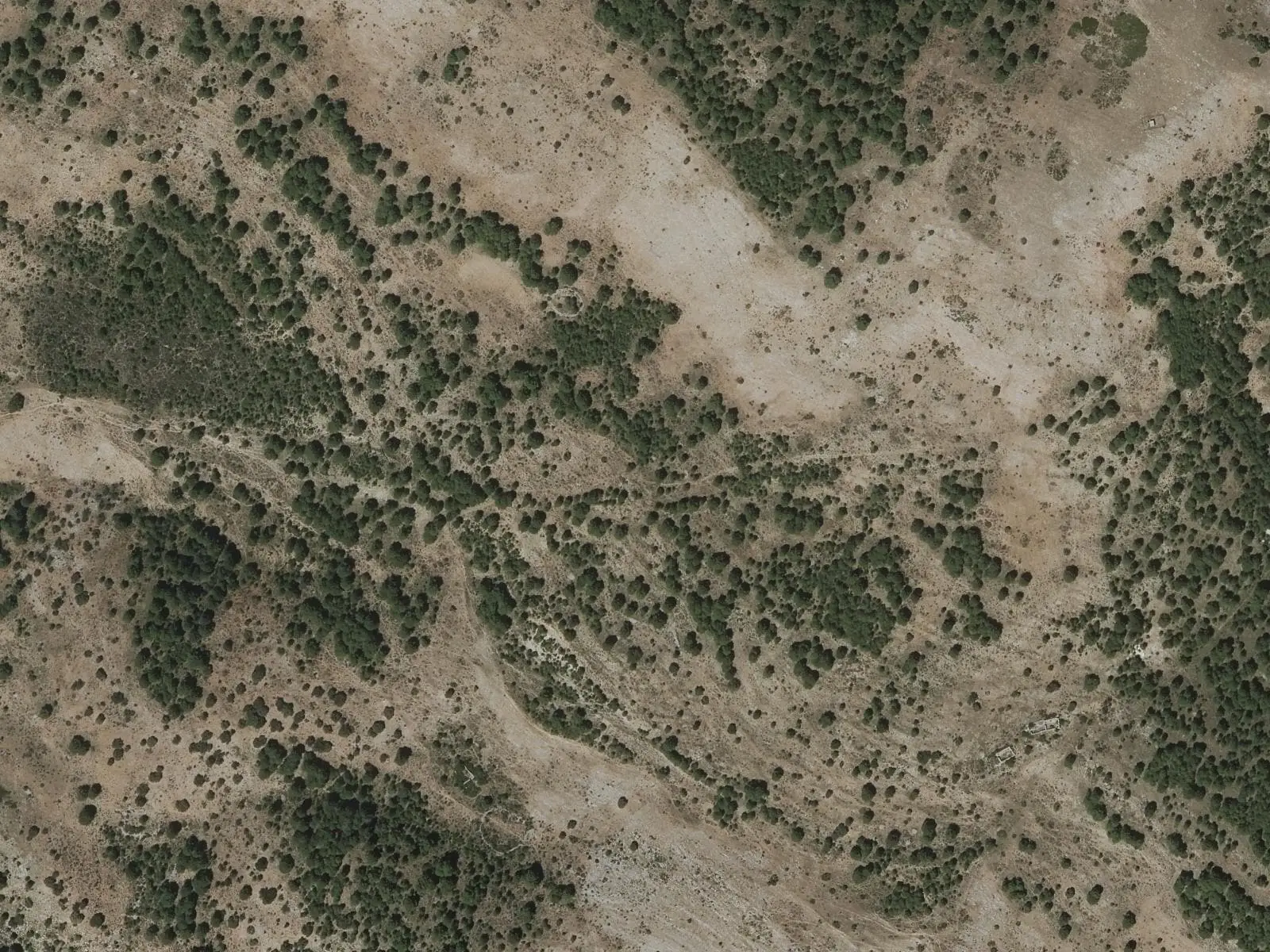
It turns north among farmland to a traditional tileworks restored as a hostel. It climbs open ground to near the hill, where a relay station stands, and follows the edge of a limestone rim to the Cerro Juez triangulation pillar at 1,543 m, the municipality’s highest point. Above are remains of majadas, stock folds, built beneath the rock’s shelter, and the viewpoint overlooks the village and the lands of the former Lordship of Molina.
Difficulty and time
Linear, 2.5 km and 227 m of elevation gain, almost entirely on footpath. Return the same way.
Before you set out
Above it is cold and windy in winter. Combine it with the Roman mine.
Official route · Federación de Deportes de Montaña de Castilla-La Mancha y Diputación de Cuenca (Senderos de Cuenca) (PR-CU 94). Description, track and notices on the official route page (in Spanish). Before you set out, check there for changes or closures.
Frequently asked questions
What is the summit?
The Cerro Juez triangulation pillar, at 1,543 m.
What remains are there?
Stock folds built beneath limestone overhangs.
Carry on from here
Lands and landscapes
From here, follow the memory of the land
These readings connect Subida al cerro Juez with the stories, the work and the villages around it.
Where it is
● Villages · ● Places · ━ Simplified official route
Location sketch. The map with paths and names loads as you scroll to it.
Reference villages: Cueva del Hierro · Beteta · Masegosa · Lagunaseca.
Open the full map and its historical layers →Where the data on this page come from
- Name
- Federación de Deportes de Montaña de Castilla-La Mancha (FDMCM) / Senderos de Cuenca source consulted, 4 October 2026
- FDMCM · Diputación Provincial de Cuenca source consulted, 4 October 2026
- FDMCM / Diputación Provincial de Cuenca source consulted, 4 October 2026
- Federación de Deportes de Montaña de Castilla-La Mancha source consulted, 5 October 2026
- Municipality (INE code)
- Federación de Deportes de Montaña de Castilla-La Mancha (FDMCM) / Senderos de Cuenca source consulted, 4 October 2026
- FDMCM · Diputación Provincial de Cuenca source consulted, 4 October 2026
- FDMCM / Diputación Provincial de Cuenca source consulted, 4 October 2026
- Route data
- Federación de Deportes de Montaña de Castilla-La Mancha (FDMCM) / Senderos de Cuenca source consulted, 4 October 2026
- FDMCM · Diputación Provincial de Cuenca source consulted, 4 October 2026
- FDMCM / Diputación Provincial de Cuenca source consulted, 4 October 2026
- Federación de Deportes de Montaña de Castilla-La Mancha source consulted, 5 October 2026
«Source consulted»: the primary source has been read. «Reference located»: the source has been identified but not yet read. «Open question»: the figure needs confirmation.