Torca · Cueva del Hierro
Roman mine of Cueva del Hierro
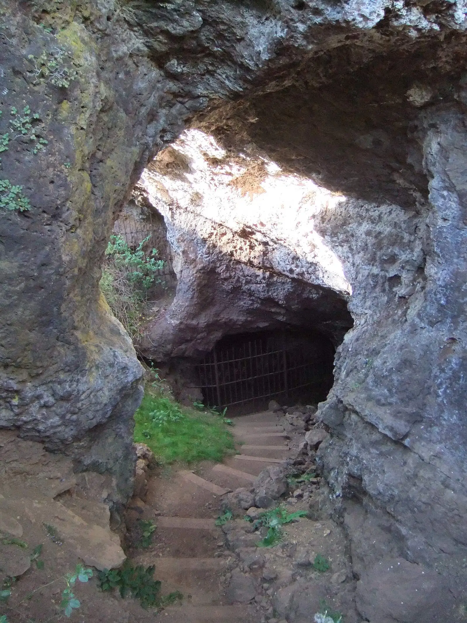
The Roman mine of Cueva del Hierro is a mining complex of ancient origin, worked from Roman times until the 20th century, and one of the province's most important industrial heritage sites. It has a museum and a guided caving route through the gallery, demanding and with sections requiring crawling.
- Municipality
- Cueva del Hierro
- Mine
- Iron
- Roman period
- Industrial heritage
A mine that gives the village its name
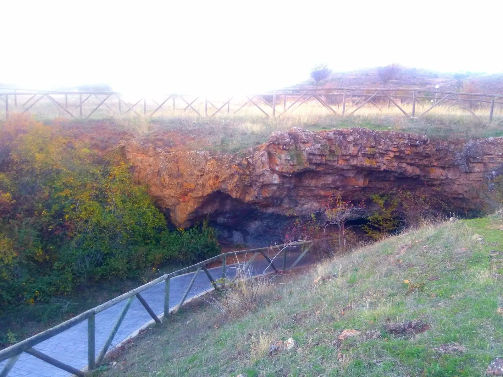
The village of Cueva del Hierro takes its name from its mine. Iron was extracted here from Roman times until the 20th century, and it is one of the province’s most important industrial heritage sites. It is a large cavity, partly excavated and partly natural, still not fully explored, with several entrances, two of them principal ones.
Prepared for visitors
It belongs to the town council. With support from the European LEADER II programme, it was prepared for visitors with railings, walls, access routes and a tour through the galleries with low-impact lighting. Visits are always guided. The paths leading to it date from the mining operation, and traces of the work can still be seen in the hills.
Plan your visit
Before you travel
Book with the town council and ask about opening times and conditions: the route can be demanding. Do not explore mine entrances independently.
Combine with
Afterwards, climb Cerro Juez on the PR-CU 94, a PR (short-distance trail) starting in the village.

Frequently asked questions
Can you go inside?
There is a museum and a guided caving route inside the gallery. It is demanding, with sections requiring crawling and no walkways; confirm conditions and bookings with the managing organisation.
Where is it?
In Cueva del Hierro, 3.6 km from Beteta in a straight line.
Carry on from here
Lands and landscapes
From here, follow the memory of the land
These readings connect Roman mine of Cueva del Hierro with the stories, the work and the villages around it.
Where it is
● Reference point · ● Villages · ● Places · ━ Routes nearby
Location sketch. The map with paths and names loads as you scroll to it.
Reference villages: Cueva del Hierro · Beteta · Masegosa · Valsalobre.
Open the full map and its historical layers →Where the data on this page come from
- Name
- Rewilding España source consulted, 4 October 2026
- Ayuntamiento de Huerta del Marquesado source consulted, 5 October 2026
- Galanita / gestión editorial por verificar source consulted, 5 October 2026
- Location
- Rewilding España source consulted, 4 October 2026
- Municipality (INE code)
- Ayuntamiento de Huerta del Marquesado source consulted, 5 October 2026
- Galanita / gestión editorial por verificar source consulted, 5 October 2026
«Source consulted»: the primary source has been read. «Reference located»: the source has been identified but not yet read. «Open question»: the figure needs confirmation.
altotajo.es, the sister atlas of the Alto Tajo, also has a page on Roman mine of Cueva del Hierro.