Village · Cuenca
Beteta
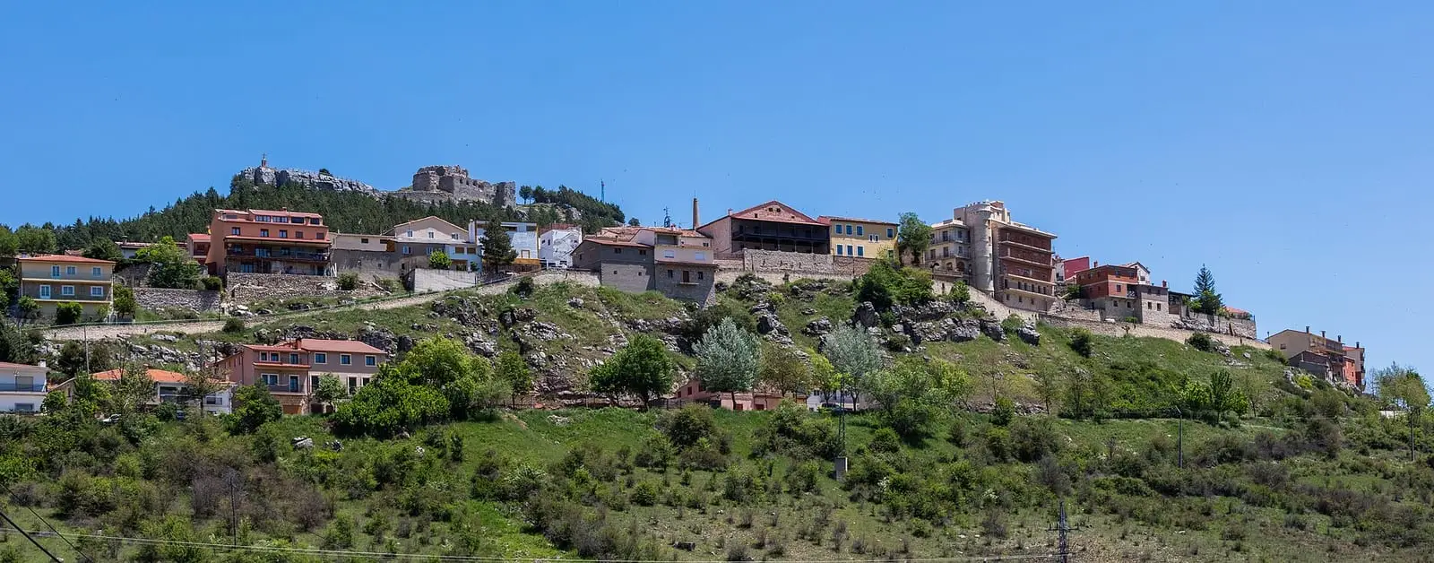
Beteta is a town in the north-east of the province of Cuenca, between the Serranía de Cuenca and Alto Tajo Natural Parks, below the castle of Rochafría and next to the gorge of the Guadiela. It had 657 inhabitants in 1960 and 223 in 2021. Its Gothic-Plateresque church, «the cathedral of the sierra», hosts the FIMUC festival every summer.
On this page 15 sections
A town between two parks
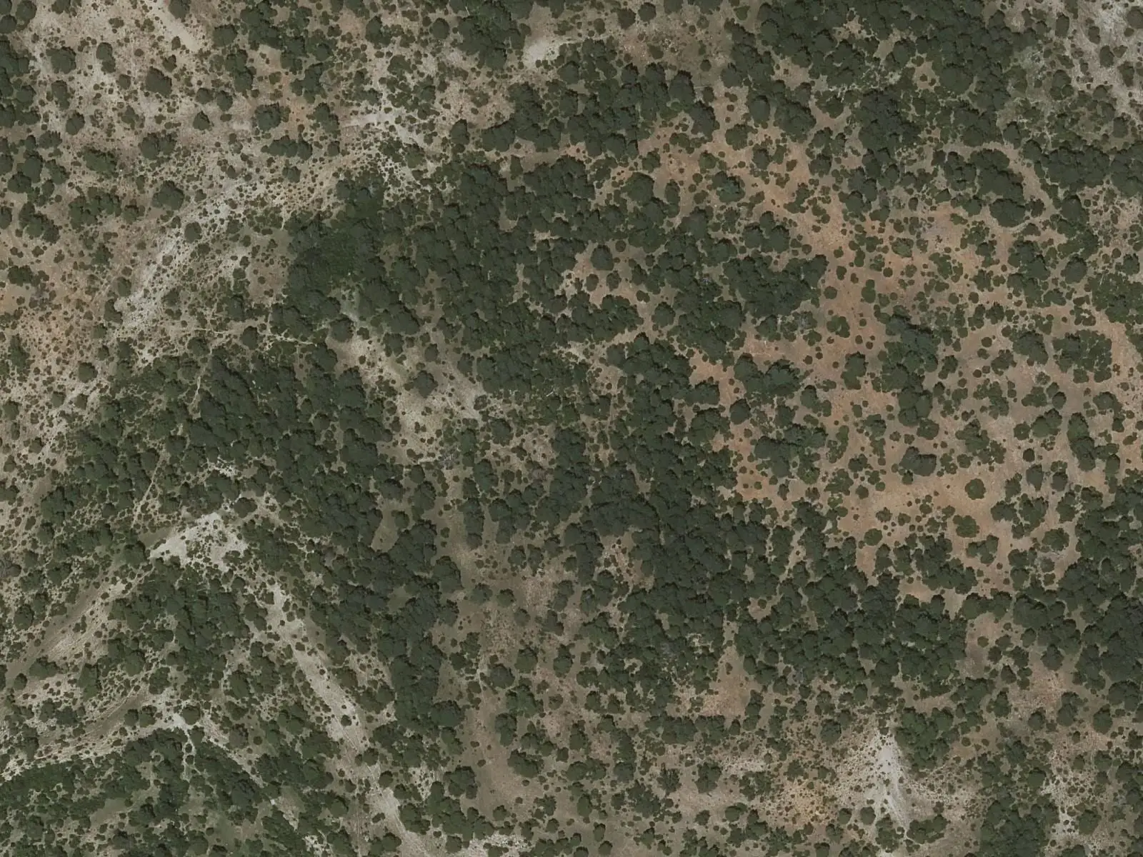
Beteta lies at the far north-eastern end of the province, in the Serranía Alta (upper Serranía), between the Serranía de Cuenca Natural Park and the Alto Tajo Natural Park. It is a hillside village, with pines and junipers around it and the Guadiela below. It keeps stretches and postern gates of its wall, the Plaza Mayor and, on the outskirts, the 17th-century hermitage of the Virgen de la Rosa.
The 15th-century church of La Asunción has a Gothic-Plateresque doorway and a large altarpiece. Because of its size and acoustics it is called «the cathedral of the sierra», and every summer it hosts FIMUC, the Serranía’s music festival.
The castle of Rochafría
Above the village, on a hill of black rock, stands the castle of Rochafría or Rochafrida, of Arab origin. In 1166 Alfonso VIII gave the town to the cathedral of Sigüenza. In the First Carlist War it was a stronghold of Cabrera, and in 1874 it was destroyed. Today it is a consolidated ruin, with a viewpoint over the village.
What trades and memory tell
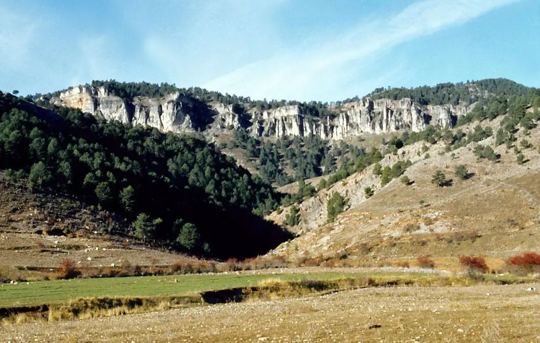
On the outskirts, the Guadiela has opened the Hoz de Beteta, a limestone canyon with walls more than 80 metres high. Pine logs from these mountains were floated down that river to the Tagus and Aranjuez, and Beteta is one of the five municipalities in Cuenca included in the 2021 listing of the Gancheros del Alto Tajo as a Bien de Interés Cultural. The trade is told in Los gancheros del Escabas y el Guadiela.
The municipality includes El Tobar, with its lake, and Valtablado de Beteta; the INE records the merger in the 1981 census.
From 3 to 5 July 2026 the town council held the third Jornadas Nacionales Juan Bautista Martínez del Mazo in Beteta, with painting, music and crafts.
Routes
The PR-CU 90 starts from El Tobar: 23.7 km through the gorge of the Alonjero to the puntal (rocky spur) of the Castillo de los Siete Condes, coming down by the old Senda Real into the gorge of the Cuervo.
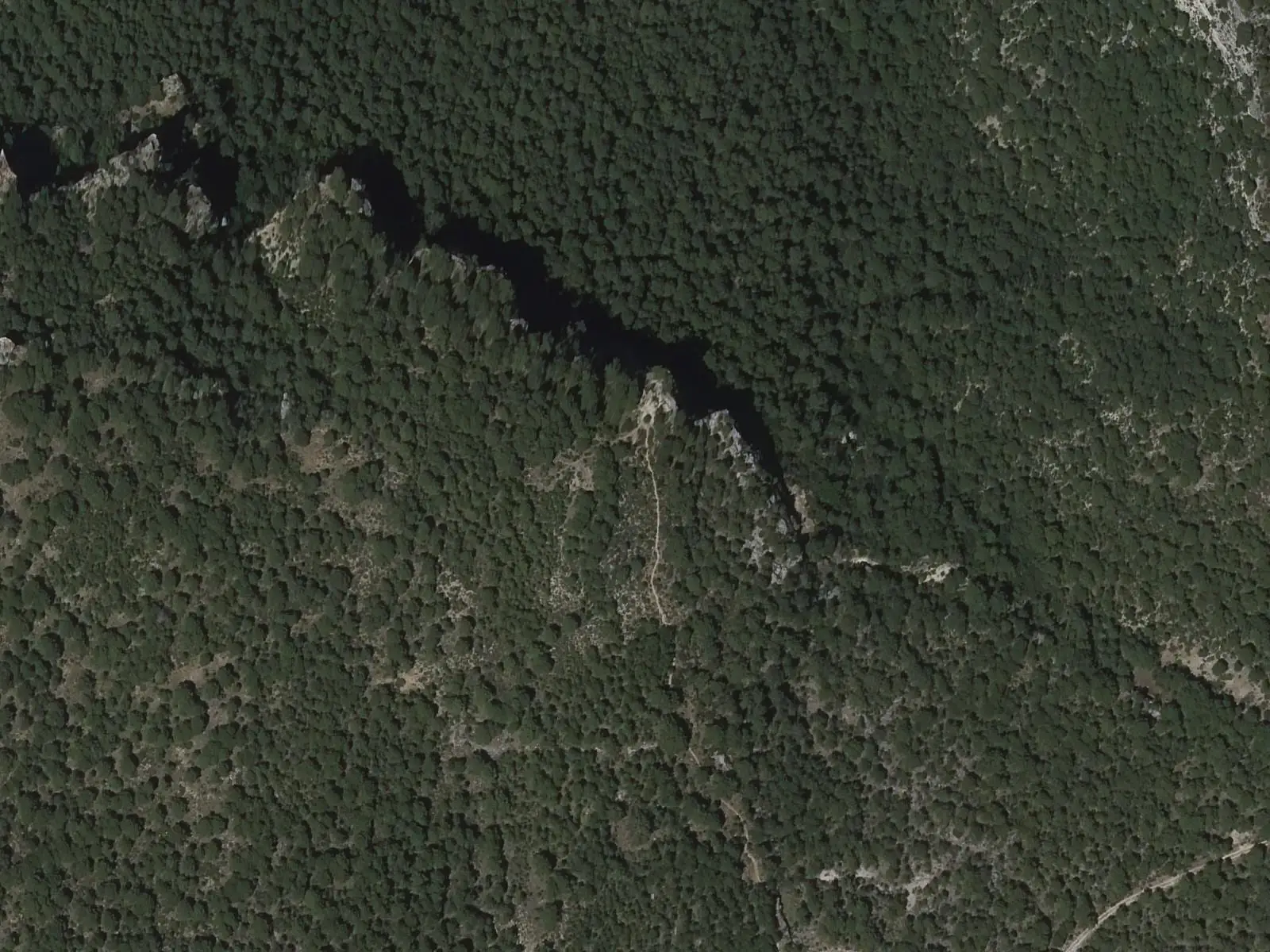
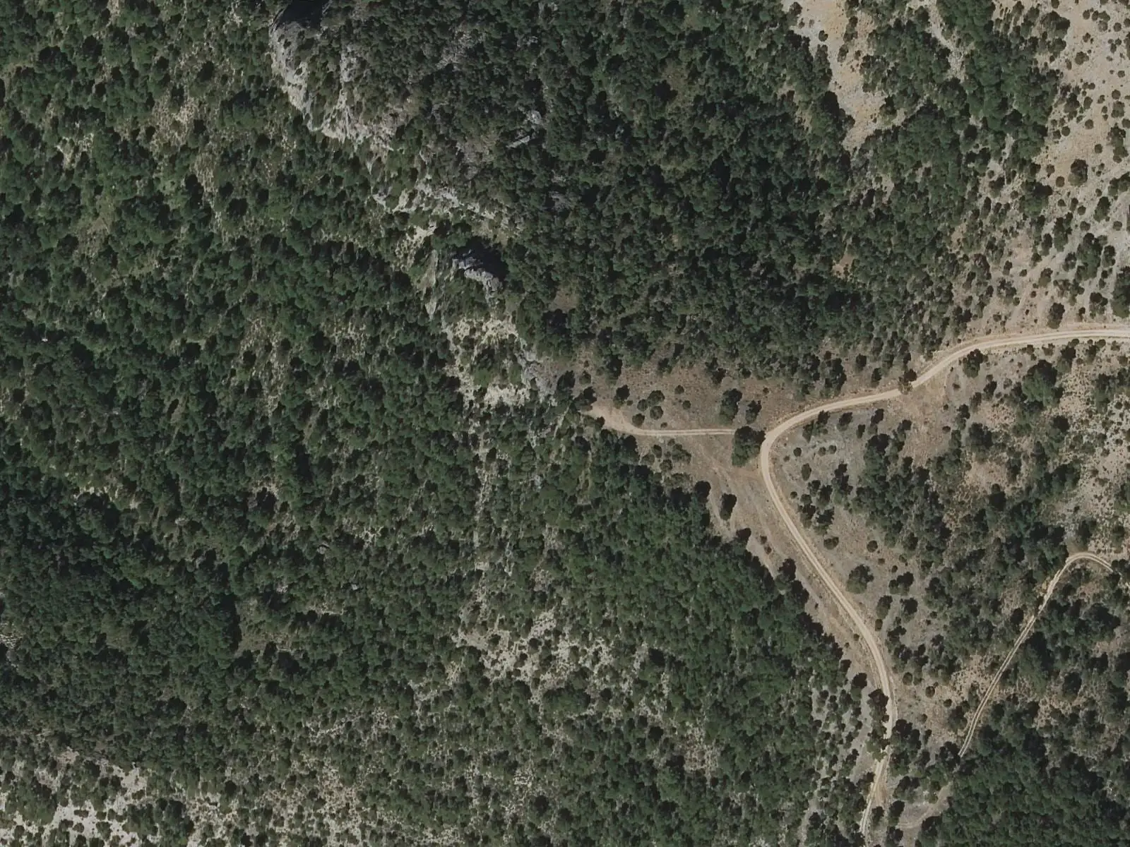
Up on the spur, a wooden bench looks out over the gorge of the Cuervo, which comes down from Vega del Codorno, passes Solán de Cabras and joins the Guadiela near Vadillos. From there you can see the Cruz del Solán, above the spring, the spur of Soto Negro and the flat rock known as el Yunque (the Anvil). On the spur there are set stones and remains of walls: the guide Fernando Carreras calls it a Celtiberian hillfort and lookout post, and the trail’s official description an Iberian hillfort; no excavation is recorded that would settle it. It is not a monumental castle.
The town and its seven villages
From the Middle Ages, Beteta held seven villages under its jurisdiction: El Tobar, Santa María del Val, Lagunaseca, Masegosa, Cueva del Hierro, Valtablado and Valsalobre, and earlier two more, Durón and Pinilla, which were abandoned. With the end of the lordships, the villages began asking for their own town councils in 1821, during the Liberal Triennium. The process was long: it ended in August 1850, after a lawsuit between Beteta and El Tobar to fix their boundary stones.
More than a century later the road was travelled in reverse. Valtablado was the first village in the province to disappear through depopulation: in 1972 its people sold the municipality to the State so that ICONA, the forestry agency, could replant it with pines, and two years later it passed to Beteta; one scholar of abandoned villages speaks instead of expropriation, and the file that would settle the matter is missing. Many had already left because life was so hard. Since then, descendants of the last inhabitants have been repairing some streets, houses and fountains, although nobody lives there all year round. In 1973 El Tobar also lost its town council and returned to Beteta.
The «electricina» light
Beteta got electric light in 1918. The power station was set up in the mill of El Batán, and the contract with the town council required 30 light bulbs wherever the council decided, plus one at the school door and another at the town hall door, in exchange for 300 pesetas a year. If the light failed for more than three nights in a month, a deduction was made. The couplet must date from then: «Beteta ya no es Beteta, que es un segundo Molina, que se alumbra por la noche con la luz electricina» (Beteta is no longer Beteta but a second Molina, lit up at night by «electricina» light).
In 1942 a local man who worked at the Salto dug the Casa de la Toba out of the rock by hand, in the middle of the Hoz de Beteta. It had a bathroom with running water, when many village houses did not, and its own power plant with a wooden turbine and a car dynamo, driven by water from the Sumidero de Mata Asnos. The channel that carried the water can still be made out.
Los Hornos
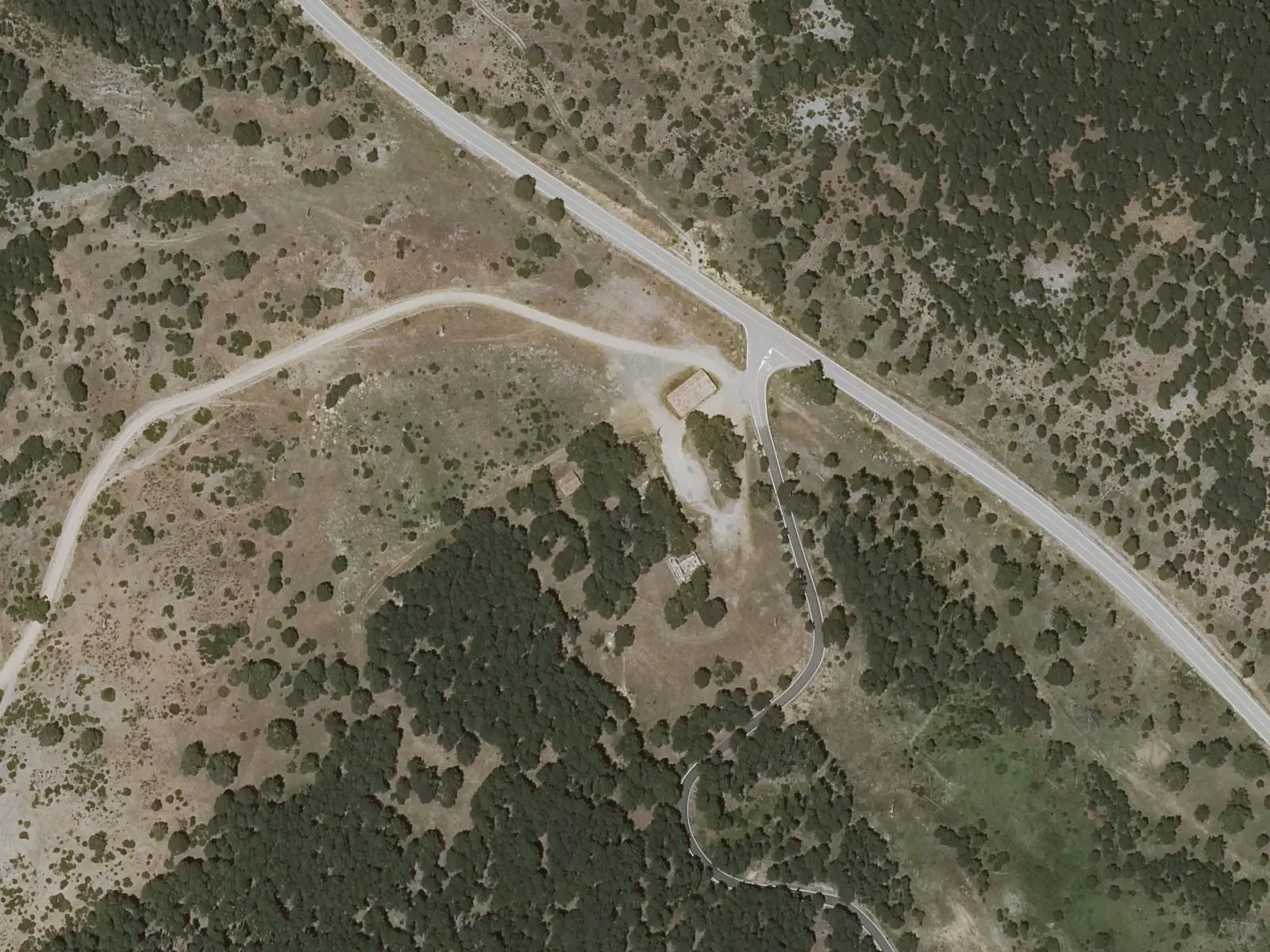
At the junction with the El Tobar road, the place everyone calls Los Hornos (the Furnaces) keeps the remains of a blast furnace that worked for barely six months. It was built by Santa Ana de Cuenca, a company set up in 1957 by people from the Bilbao steelworks Santa Ana de Bolueta to smelt the ore of Cueva del Hierro with charcoal and sell an iron free of sulphur and phosphorus. In December 1957 the BOE, the official state gazette, authorised building it at the pithead, at Fuentes Morenas, and in February 1958 Beteta town council had it moved next to the village. It was ready around February 1961, with a plant to prepare the ore, a blower house and a generator in case the Puente de Vadillos line failed, and some sixty people came to work at the furnace and the mine, nearly all from Beteta and Cueva del Hierro.
It went wrong. The ore from Cueva del Hierro was so acidic that it ate away the furnace’s refractory lining and had to be mixed with ores brought from Soria, Zaragoza and Bilbao; the charcoal-smelted pig iron was excellent but expensive, and hardly anyone bought it. One night that winter the watchman in the blower house died, suffocated by the brazier he was keeping warm with. In July 1961 the company filed for a crisis procedure, in September the power to the mine and the furnace was cut off, and the workers were laid off. The land ended up in the hands of the Hidroeléctrica del Guadiela.
The town of the juntas
In the Peninsular War the Serranía Alta lay behind the lines, and Beteta became a refuge. In 1811 the French pursuing General Villacampa passed through and burned the weapons and tools of the workshops that had been set up in the sierra. In the winter of 1811 to 1812 the Junta Superior de Cuenca, the provincial junta, settled in the town with the intendant and the corregidor, and part of the Molina junta hid between Beteta and Fuertescusa. At the start of 1812 between 400 and 600 infantry and 200 horsemen entered at dawn to capture them, but a warning arrived in time and the junta escaped. That spring Beteta held the more than 500 French prisoners Villacampa had taken at Pozondón; on 4 April they left under escort for Tragacete, Valdemeca and Enguídanos, on their way to Alicante. Tradition traces the dance of El pollo y el milano (the chick and the kite), still danced in the village, back to that war.
In September 1932 the first Misión Pedagógica in the province reached Beteta, with cinema, records and books; one of its two teams was led by María Zambrano. The story is told in Las Misiones Pedagógicas en la Serranía Alta.
The dehesa of Belvalle
Around 1335 the Libro de la Montería, Alfonso XI’s book of hunting, already named Belvalle, between Beteta and the Tagus, as «buen monte de osso» (good bear country) in summer. In 1385 Álvar García de Albornoz, lord of Beteta, left it in his will to his nephew Juan, separately from the rest of the lordship, and the people of the villages, who had always grazed there, had to go to law. In 1549 Luis Carrillo de Albornoz granted them the winter grass of the dehesa (wood pasture) «para siempre jamás» (for ever more), in exchange for three thousand maravedíes a year. The estate later passed to the marquises of Ariza and in 1926 was sold to a private owner. In 1931 the town councils of Beteta, El Tobar, Santa María del Val, Masegosa, Lagunaseca, Cueva del Hierro, Valtablado and Valsalobre claimed it under the Agrarian Reform; in 1953 the Instituto de Colonización bought part of it, and on 30 November 1978 the Mancomunidad Encomienda de Belvalle, made up of those villages, paid four million pesetas and at last made it their own.
Plan your visit
Start with the square and the church, climb to the castle viewpoint and then go down to the gorge. If your visit coincides with FIMUC, book the concert well ahead: seating is limited.
Before you travel
Check with the town council when the church can be visited inside. The castle has uneven ground and the gorge has sheer walls: keep away from the edges.
Combine with
Valsalobre, with its memory of salt and the dehesa, is 5 km away, and Cueva del Hierro about 4.
Frequently asked questions
What is there to see in Beteta?
The church of La Asunción, with its Gothic-Plateresque doorway; the Plaza Mayor and what remains of the town wall; the ruined castle of Rochafría, on a hill of black rock; and, on the outskirts, the Hoz de Beteta, the canyon the Guadiela has cut, with walls more than 80 metres high.
What is FIMUC?
The Serranía de Cuenca International Music Festival, held in Beteta with free concerts, until seats run out, in the church of La Asunción and in the square in front of it.
Were there gancheros in Beteta?
Yes. Beteta is one of the five municipalities in Cuenca included in the 2021 listing of the Gancheros del Alto Tajo as a Bien de Interés Cultural: the logs from these mountains were floated down the Guadiela to the Tagus.
Carry on from here
The rivers, zones, eras, places and official routes that the atlas links with Beteta.
Rivers and basins
Following the water from Beteta
Follow these watercourses to where they meet, to their villages and to the memories of their basin.
Lands and landscapes
From here, follow the memory of the land
These readings connect Beteta with the stories, the work and the villages around it.
Traces in the village and around it
Which eras you can read here
A single place can keep traces of several periods. These layers connect what you see with the atlas's stories.
Places in the municipality and around it
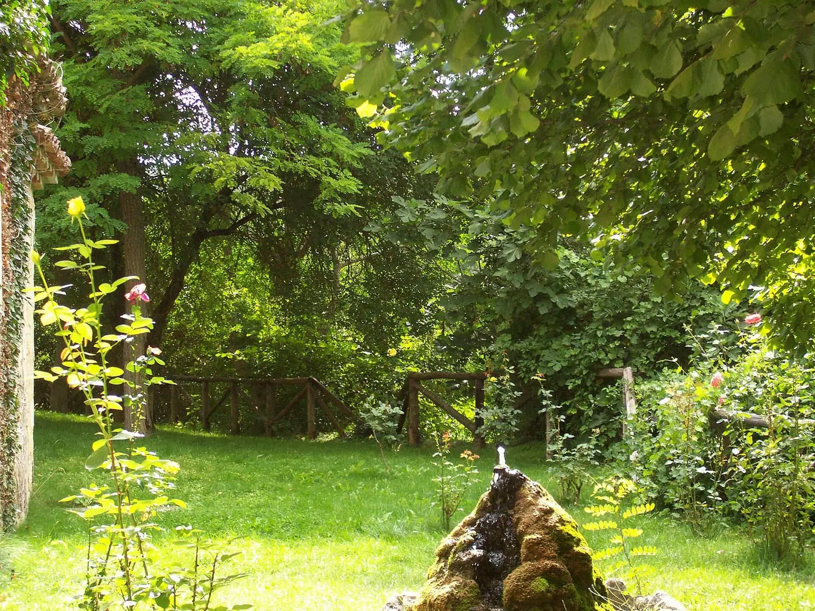
Casa de la Pradera picnic area
Beteta
Fuente de los Tilos picnic area
Beteta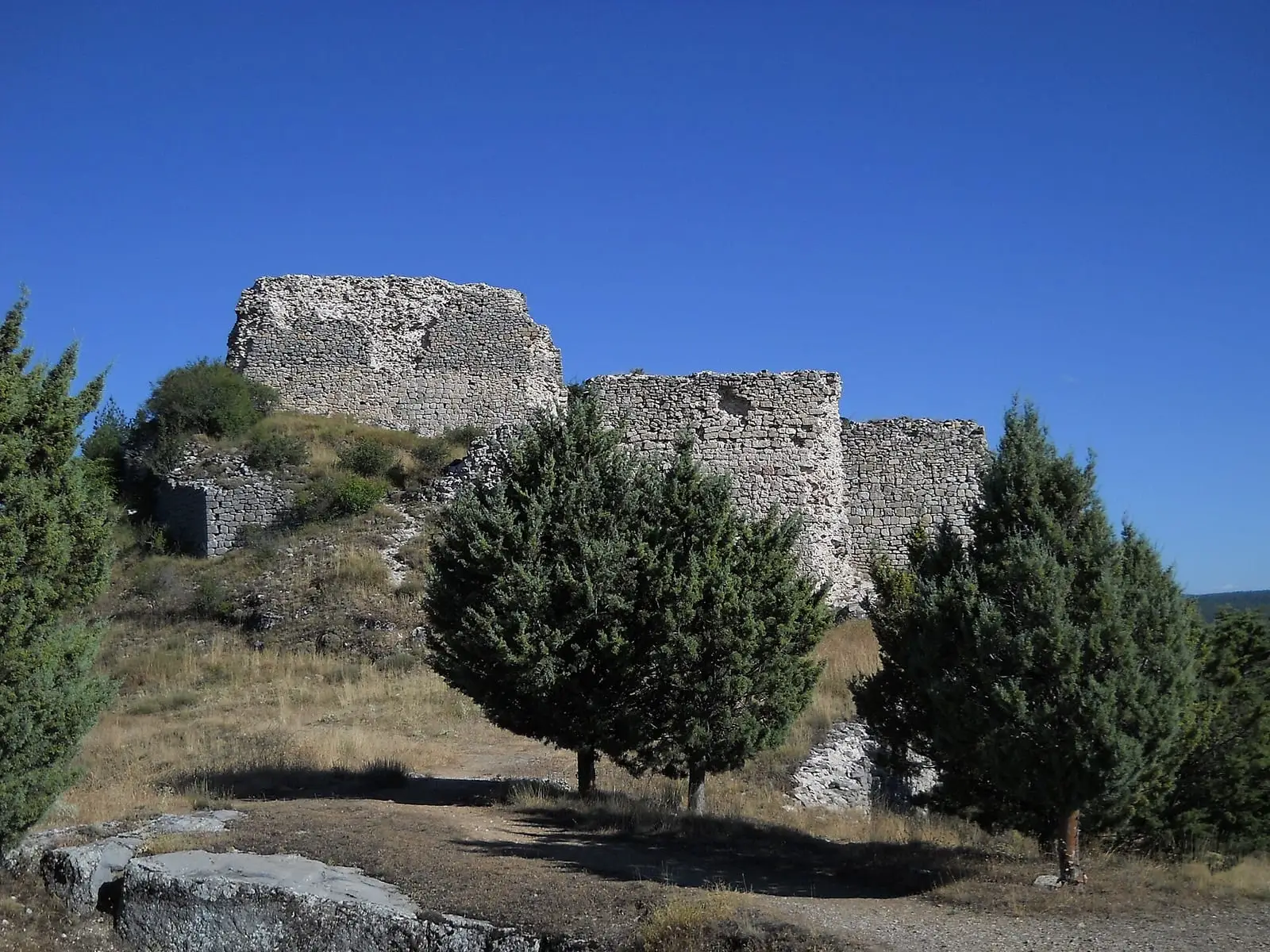
Rochafrida castle
Beteta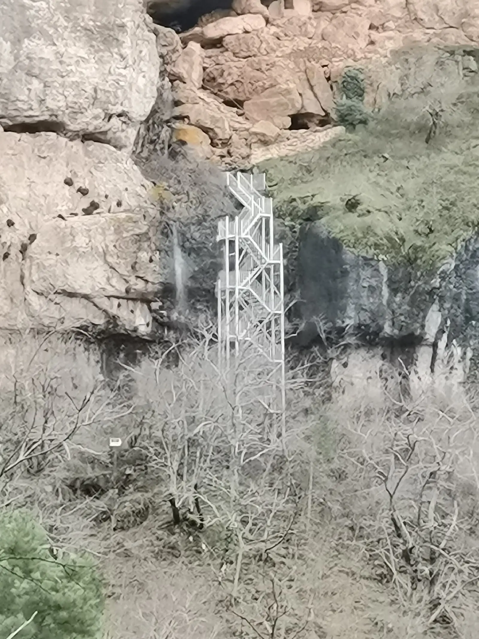
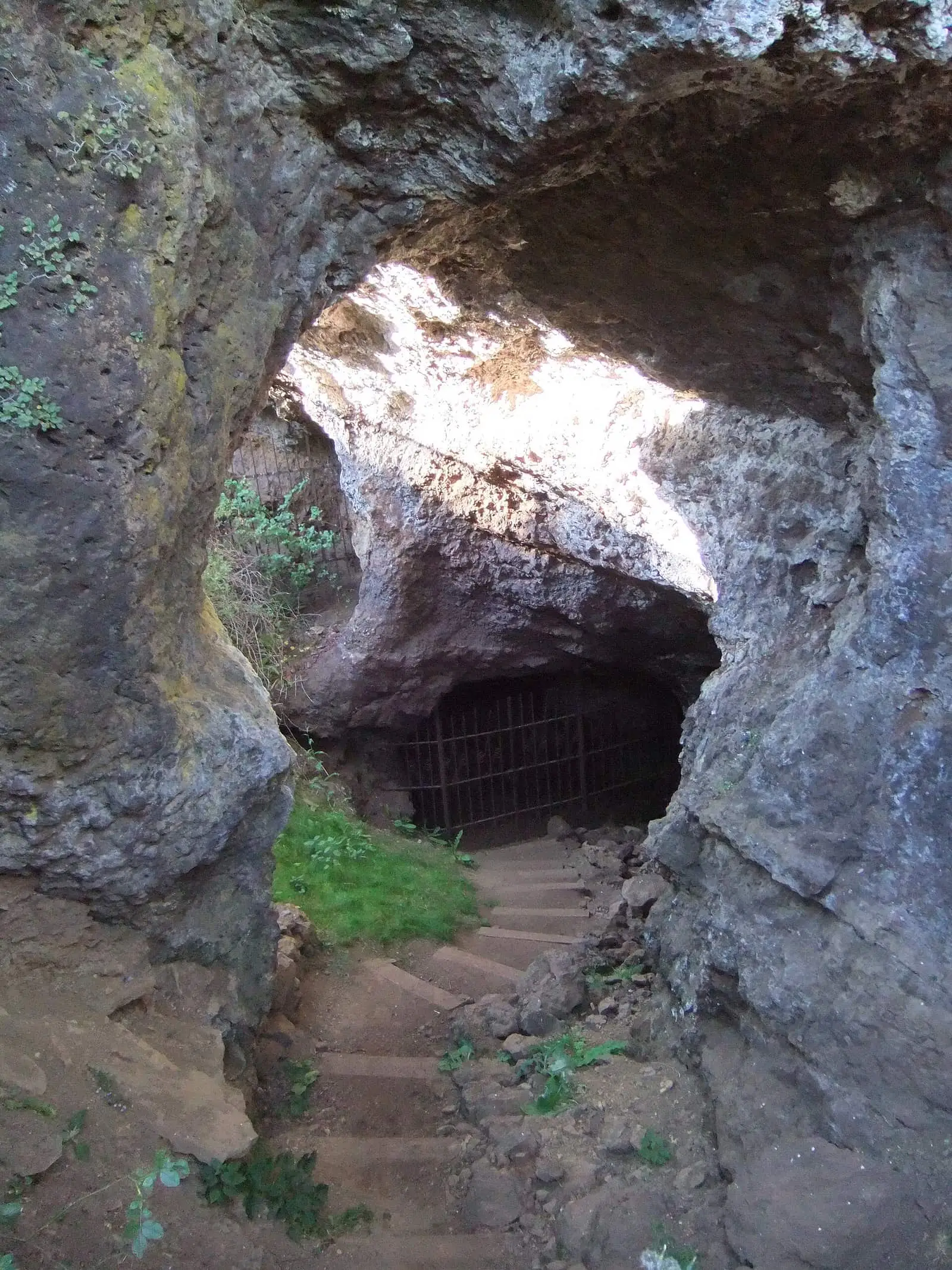
Cueva de la Ramera
Beteta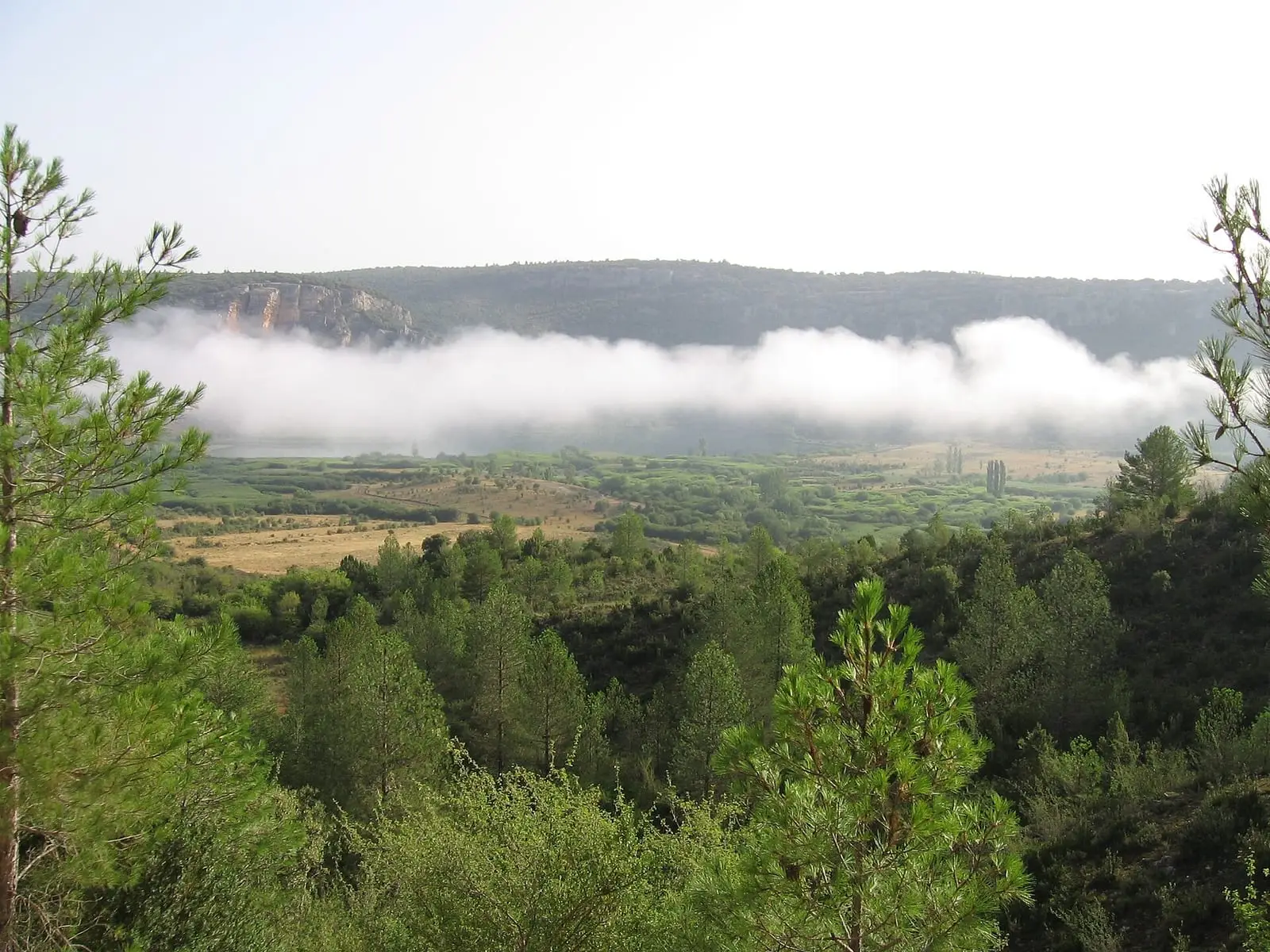
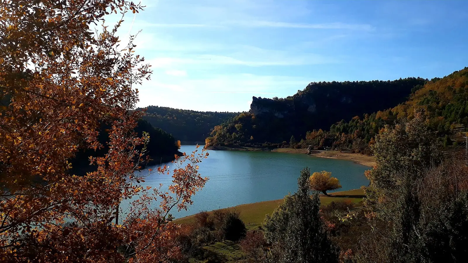
Lagunas de El Tobar
Beteta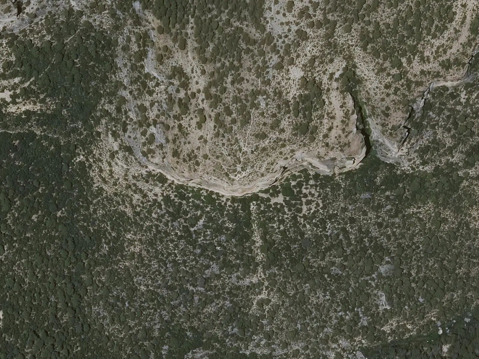
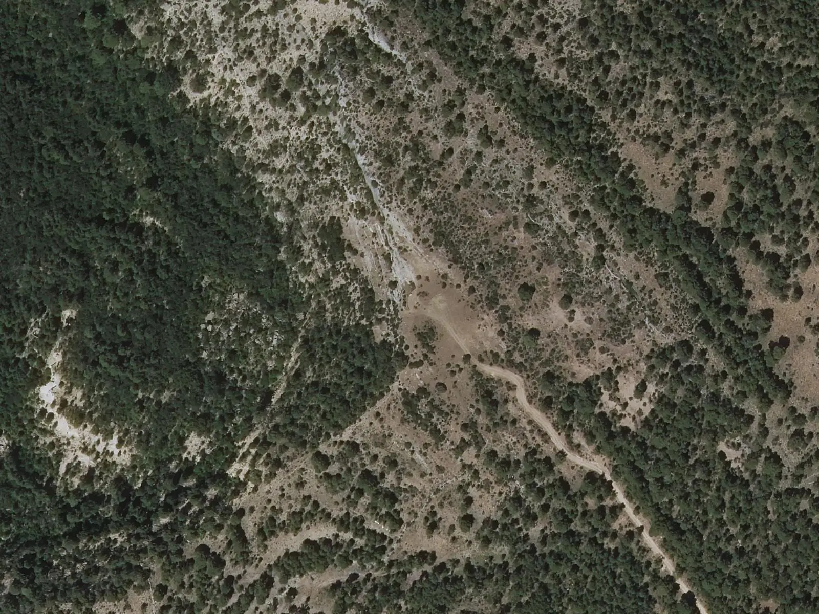
Cruz de Solán viewpoint
BetetaSee all 8 places
Official routes
Near Beteta
Population of Beteta, 1842–2021
Beteta reached 657 inhabitants in 1960. The 2021 census counted 223, 66 % fewer. It is the story told in the emptying.
Climate in Beteta month by month
Averages for the ten years from 2015 to 2024 from the ERA5 reanalysis (Copernicus), for a grid cell with a reference altitude of 1209 m. They are model estimates, not measurements from a local station or thirty-year climate normals.
Source: Copernicus ERA5 via Open-Meteo, CC BY 4.0. Retrieved: 2026-10-09.
Location
● Reference point · ● Villages · ● Places · ━ Routes nearby
Location sketch. The map with paths and names loads as you scroll to it.
Approximate position: village centre.
Reference villages: Cueva del Hierro · Masegosa · Valsalobre · Lagunaseca.
Open the full map and its historical layers →Where the data on this page come from
- Location
- IGN: Nomenclátor Geográfico Básico de España, capital de municipio (CC BY 4.0) source consulted, 9 October 2026
- Municipality (INE code)
- Turismo de Castilla-La Mancha source consulted, 4 October 2026
- Name
- Turismo de Castilla-La Mancha source consulted, 4 October 2026
«Source consulted»: the primary source has been read. «Reference located»: the source has been identified but not yet read. «Open question»: the figure needs confirmation.
More about Beteta, told from the village: Beteta Town Council website.
altotajo.es, the sister atlas of the Alto Tajo, also has a page on Beteta.