Village · Cuenca
Lagunaseca
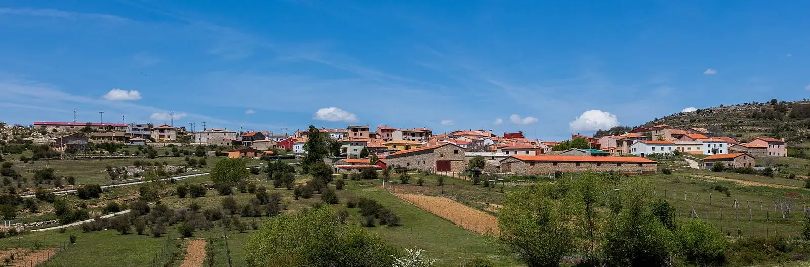
Lagunaseca is a village in Serranía Alta (upper Serranía), 1.8 km from Masegosa. Its municipality contains the Torcas de Lagunaseca, a 188-hectare natural monument with sinkholes, dolines, uvalas and a polje in Jurassic limestone. It had 288 inhabitants in 1950 and 56 in 2021. A short 4 km trail passes through the sinkholes.
On this page 12 sections
A village at high altitude
Lagunaseca lies in Serranía Alta (upper Serranía), very close to Masegosa and Santa María del Val. It is one of the coldest villages in the mountains, with snow almost every winter.
The torcas
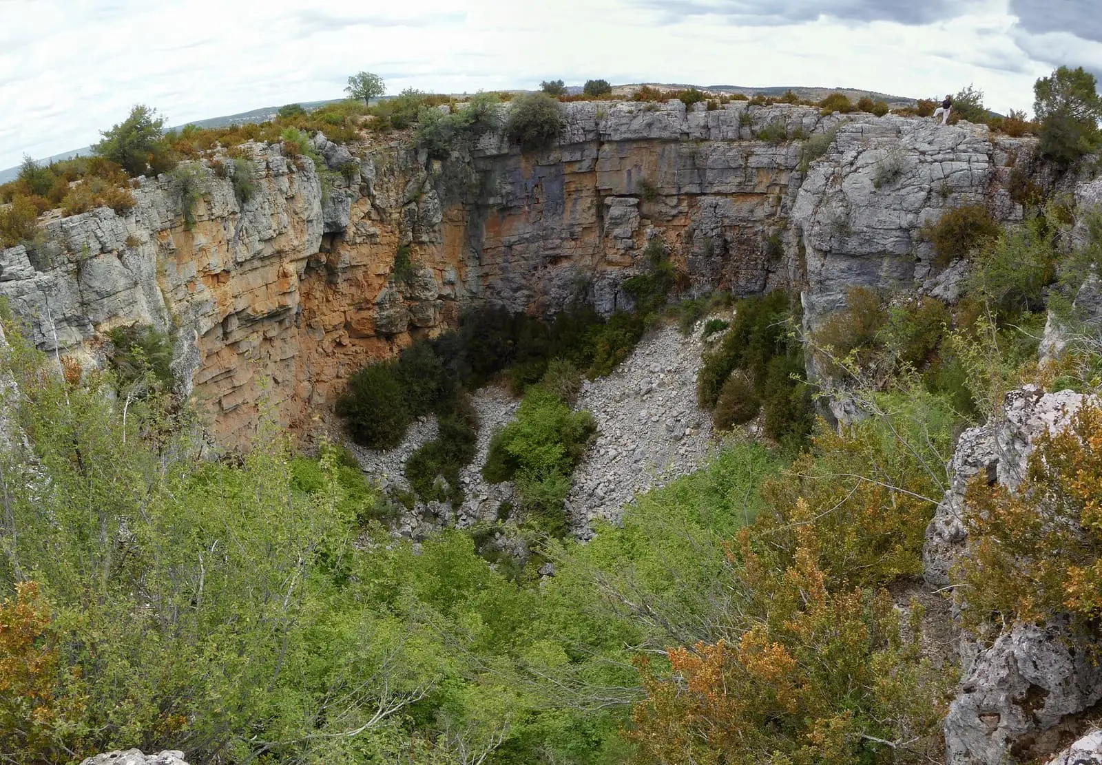
The Torcas de Lagunaseca are a field of closed depressions, torcas (collapse sinkholes), dolines, uvalas and poljes, opened in rocks some 200 million years old. Water dissolving the limestone, ice breaking it apart and accumulated snow have shaped them. They have been a natural monument since 2003, covering 188 hectares.
Box, spiny broom, thyme, sage and lavender grow on the plateau, with scattered Spanish junipers and black pine, and fringes of barberry, a thorny shrub native to the peninsula. Rock plants such as té de risca grow on the doline walls; at the bottom, where there is more soil and shelter, are hazels, Montpellier maples and St Lucie cherries.
Lagunaseca’s torcas are more open than those at Palancares, with gentler slopes: one guide describes them as older, more developed forms. When two join they form an uvala; a larger, more open group forms a polje. Ice also works on the walls: water enters the cracks, freezes, expands and breaks the rock, which falls into scree down the slopes. After heavy rain, some water may remain briefly at the bottom of a sinkhole. One was used years ago as a dump, with rubbish, wardrobes and washing machines; it was cleared and replanted, and now looks natural.
Routes
The SL-CU 5 (local trail), Torcas de Lagunaseca, is a 4 km walk through the monument.
Truffles by mule
In the 1970s, a villager who had learnt from his brother in Huesca began searching for black truffles with a dog in the woods of Lagunaseca, and others soon joined him. Buyers came to Molina de Aragón on Thursdays, so the truffles travelled by mule: a two-day journey, with a night in Megina. Four-wheel drives soon replaced the mules, and town councils began auctioning truffle-gathering rights. With a warmer climate and woodland becoming overgrown through lack of livestock, wild truffles have declined, and the village has turned to cultivation: after land consolidation, a group of villagers is planting holm oaks and oaks inoculated with truffle fungus, and two plots in the municipality cover about 20 and 12 hectares. The season runs from December to March.
Lagunaseca’s houses
Lagunaseca retains one of the most complete collections of rural architecture in the Serranía, with large two-storey houses, broad eaves on timber brackets and porches on upright stone supports. It has a Baroque fountain, and its church of San Bernabé retains remains of the 15th-century church, with two timber ceilings, one octagonal in the apse.
Young hands on the seasonal livestock journeys
Until the 1960s, boys from Lagunaseca, Masegosa or Vega del Codorno made their first seasonal livestock journey at twelve or thirteen as a rapaz, the lowest-ranking member of the team. They were hired at Michaelmas by the large flock owners of Checa, Peralejos or Valdemeca, who, instead of a wage, «costeaban» (covered the costs of) between thirty and fifty sheep of their own, travelling with the master’s flock. The descent to Jaén in November took about twenty-two days along drove paths, sleeping outdoors beside the fire, with blankets and albarcas, traditional sandals; one year, the flock expected from Belvalle arrived at night, forcing its way through deep snow. On the winter pasture they lived in a round chozo, a hut of stone and branches, all around the hearth in order: the head shepherd by the door, the rapaz on the other side. The rapaz had to watch the sheep at night in a chocillo, a small shelter of rushes, while the others ate supper, hearing wolves beyond Despeñaperros, with a mastiff in a spiked collar beside him. To cross swollen rivers they used mansos, trained rams taught «a la piedra» (using a stone), which came when called and drew the flock after them. They scarcely tasted meat. From the 1960s the sheep travelled south by train from Chillarón or Caracenilla, and soon afterwards most of the shepherds emigrated. The story is told in Shepherds of the Serranía.
Plan your visit
Walk SL-CU 5 slowly, to see how the shapes of the torcas and their plants change.
Before you travel
The dolines have unstable walls and edges: keep away from the edge. Nights are very cold and it snows in winter; ask about the condition of the tracks.
Combine with
Masegosa is 1.8 km away in a straight line and Santa María del Val 3.5 km.
Frequently asked questions
What are the Torcas de Lagunaseca?
A karst complex of sinkholes, dolines, uvalas, a polje and karrens in Jurassic limestone and dolostone, declared a Natural Monument by Decree 310/2003 of 2 December. It covers 188.42 hectares.
How did they form?
Through dissolution of the rock, with frost shattering and accumulated snow as additional agents. They develop on a syncline and follow cracks and discontinuities in the ground.
Which trail goes through them?
SL-CU 5 Torcas de Lagunaseca, 4 km long with 90 m of elevation gain.
Carry on from here
The rivers, zones, eras, places and official routes that the atlas links with Lagunaseca.
Lands and landscapes
From here, follow the memory of the land
These readings connect Lagunaseca with the stories, the work and the villages around it.
Traces in the village and around it
Which eras you can read here
A single place can keep traces of several periods. These layers connect what you see with the atlas's stories.
Places in the municipality and around it
Official routes
Near Lagunaseca
Lagunas de El Tobar
Beteta
La Tosca reservoir
Santa María del Val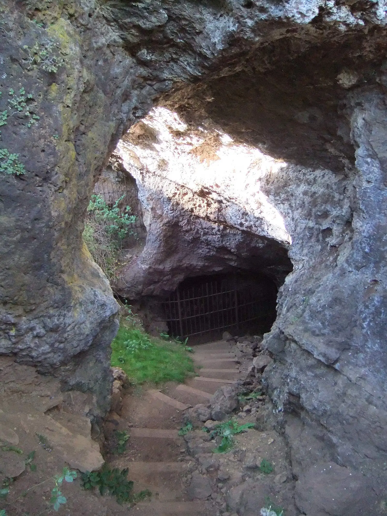
Roman mine of Cueva del Hierro
Cueva del HierroSee 5 more
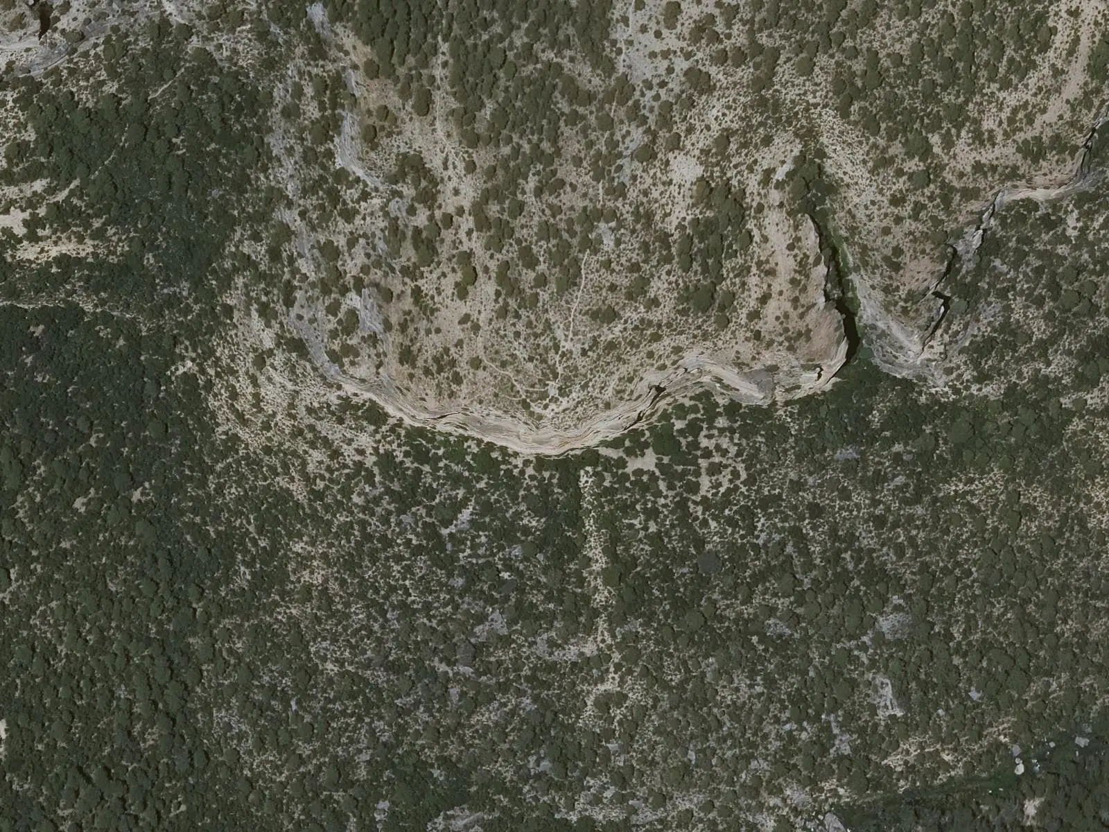
Cruz de Solán viewpoint
Beteta
Casa de la Pradera picnic area
Beteta
Fuente de los Tilos picnic area
Beteta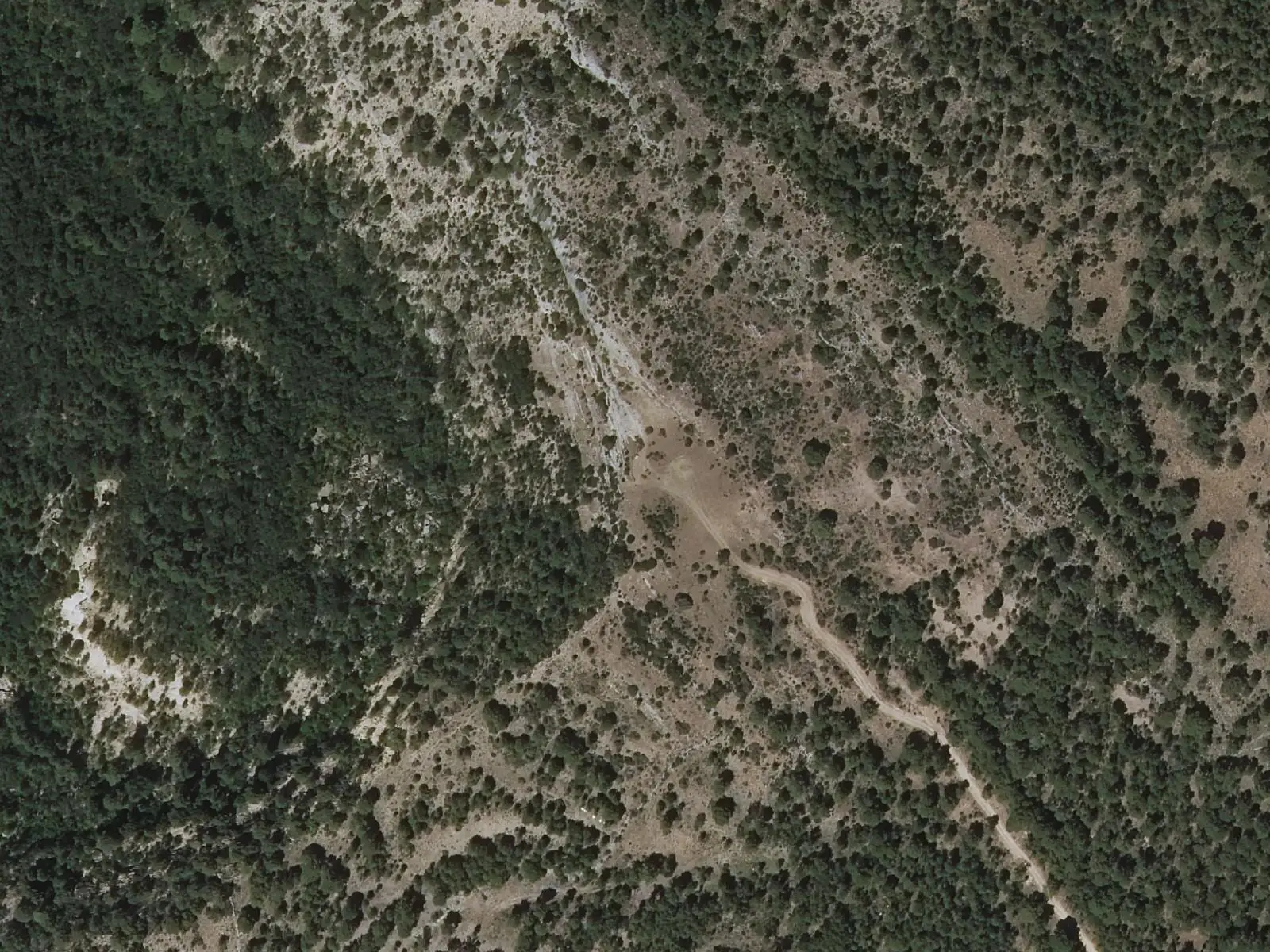
Armentero viewpoint
Beteta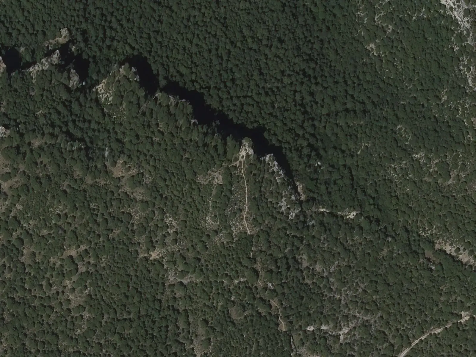
Tragavivos viewpoint
CañizaresPopulation of Lagunaseca, 1842–2021
Lagunaseca reached 288 inhabitants in 1950. The 2021 census counted 56, 81 % fewer. It is the story told in the emptying.
Climate in Lagunaseca month by month
Averages for the ten years from 2015 to 2024 from the ERA5 reanalysis (Copernicus), for a grid cell with a reference altitude of 1361 m. They are model estimates, not measurements from a local station or thirty-year climate normals.
Source: Copernicus ERA5 via Open-Meteo, CC BY 4.0. Retrieved: 2026-10-09.
Location
● Reference point · ● Villages · ● Places · ━ Routes nearby
Location sketch. The map with paths and names loads as you scroll to it.
Approximate position: village centre.
Reference villages: Masegosa · Santa María del Val · Cueva del Hierro · Beteta.
Open the full map and its historical layers →Where the data on this page come from
- Location
- IGN: Nomenclátor Geográfico Básico de España, capital de municipio (CC BY 4.0) source consulted, 9 October 2026
«Source consulted»: the primary source has been read. «Reference located»: the source has been identified but not yet read. «Open question»: the figure needs confirmation.