Village · Cuenca
Cueva del Hierro
Cueva del Hierro is a village in the Serranía Alta (upper Serranía) of Cuenca whose identity is iron mining: its Roman mine was worked from Roman times until the 20th century. It had 197 inhabitants in 1960 and 35 in 2021. A short trail climbs Cerro Juez, 1,543 m, the highest point in the municipality.
On this page 11 sections
A village named after its mine
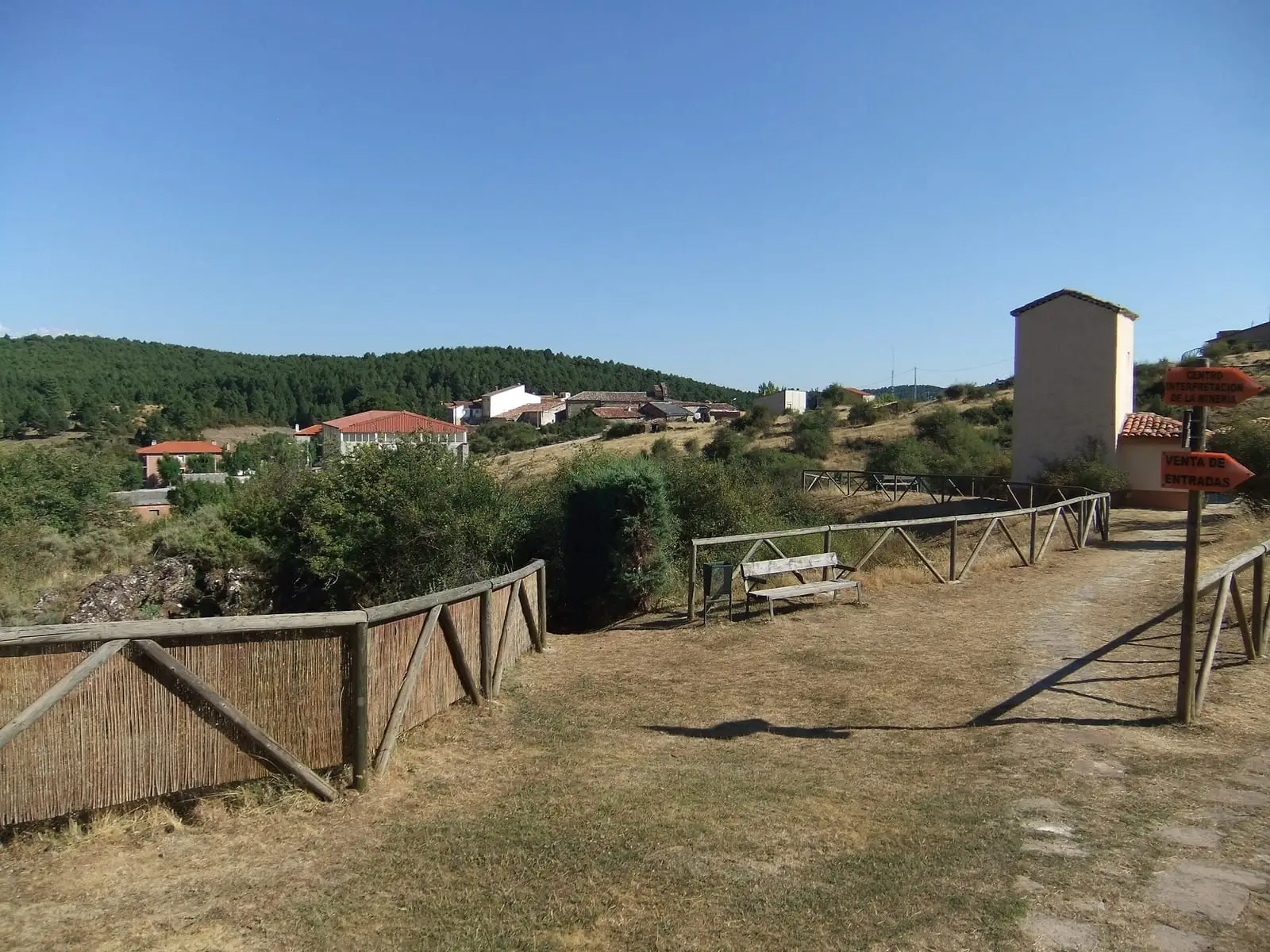
Cueva del Hierro lies in the Serranía Alta, on the edge of the Natural Park, 3.6 km as the crow flies from Beteta. The name is the trade: the Roman mine of Cueva del Hierro (the name means «iron cave») was worked from Roman times until the 20th century, and is one of the most important pieces of industrial heritage in the province. The paths that lead to it are the old paths of the workings. In the small mountain village stands the church, which Turismo de Castilla-La Mancha gives as San Sebastián and Mansiegona as the Inmaculada Concepción. It is a village of hard winters.
The mine today
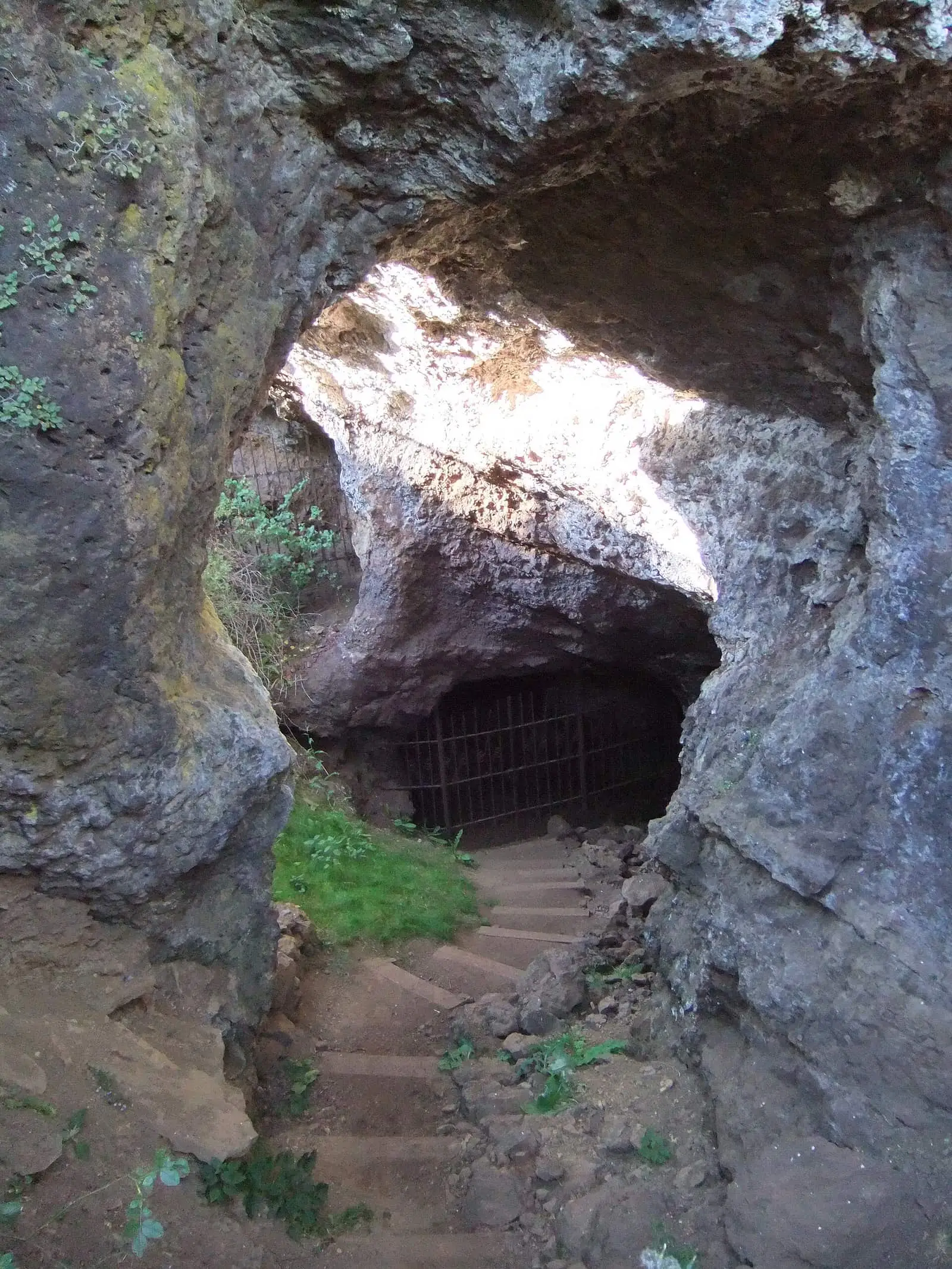
The mine has a museum and a guided caving visit inside the gallery. It is demanding: some stretches are passed crawling and there are no walkways.
Centuries of iron
In the Serranía there were ironworks beside the rivers: at Vadillos stood the one old documents call «Ebadillo», and not far from Masegosa there are place names such as the Puente del Martinete (trip-hammer bridge), the Collado del Escorial (slag-heap pass) or the Herrería de El Tobar (El Tobar forge). A lawsuit of 1632, between Carlos de Arellano, a knight of Santiago, and Juan de la Riva, tells how a man from Beteta discovered ore at Cabeza de Catalán, and mentions the mines of Cueva del Hierro as a source of that iron. In 1922 an engineer from Valencia applied for 46 mining claims at the site of Alto del Cementerio, under the names Ampliación San Gil and Alkartasuna; the ore probably went out by mule to the Sierra Menera mining railway.
The last attempt was the Ana María mine, which supplied the blast furnace at Beteta. It was begun with pick and shovel, bringing the ore out with donkeys, and in February 1961 it was mechanised with rails, an incline, wagons hauled by a winch and compressed-air drills. Output was estimated at 24,000 tonnes a year. The furnace closed a few months later, but the company was still paying the mine’s tax in 1963. The manganese oxide in the ore is what stains the flowstone and stalactites of the gallery black.
Routes
The PR-CU 94 climbs in 2.5 km to Cerro Juez, 1,543 metres, the roof of the municipality. It passes a tile works restored as a hostel, follows the edge of a limestone ledge and reaches the summit, with remains of stock folds sheltered by the rock and views over the village and the lands of the former Señorío de Molina.
The climb shows how the hillside was used. Among the fields is the fuente del Prado Somero, which is not a built fountain but a spring that soaks the meadow; its water irrigated the cerras, vegetable plots enclosed by stone walls that protected them from animals and a little from the cold. The tejera (tile works) keeps its building and, beside it, the kiln, large, round and complete, with a spring alongside where the clay was wetted. Up above, sheltered by the limestone ledge, are the majadas where livestock were kept. The pine forest mixes black pine and Scots pine with wild roses, hawthorns and junipers, and there are red deer, wild boar and signs of badger, genet and stone marten. From the summit you can see the gorge of the Guadiela towards Beteta, Masegosa, Lagunaseca and the lands of Molina.
The church, a castle and San Antón
The church of the Inmaculada Concepción stands on its own in the square, with a long, horizontal façade, a round-arched door with large voussoirs and a very wide bell gable in the Herrerian style. Inside there is a beam with corbels, the last trace of the coffered ceiling of the earlier church. Of the castle of Regarcedas, in the municipality, little more than the name remains. Near the source of the Guadiela there was a hermitage of San Antón de Pinilla, to which people went on pilgrimage on 17 January; until a few years ago its ruins could still be seen.
Plan your visit
The village, the mine and Cerro Juez fit into a morning. The trail is short but climbs without a break.
Before you travel
Book the mine visit and ask about the conditions. Do not go in outside the visit: there are shafts and galleries. In winter Cerro Juez is cold and windy.
Combine with
Beteta is 3.6 km away as the crow flies, Masegosa 4.1 and Valsalobre 6.2.
Frequently asked questions
What is the Roman mine of Cueva del Hierro?
A mining complex of ancient origin worked from Roman times until the 20th century, and one of the most significant pieces of industrial heritage in the province. It gives the village its name.
Which trail starts from Cueva del Hierro?
The PR-CU 94, Subida al cerro Juez: 2.5 km, 227 m of elevation gain, almost all on footpath, to the survey pillar on Cerro Juez, 1,543 m, the highest point in the municipality.
How many people live there?
35 in the 2021 census. The peak was 197 in 1960, according to the INE.
Carry on from here
The rivers, zones, eras, places and official routes that the atlas links with Cueva del Hierro.
Rivers and basins
Following the water from Cueva del Hierro
Follow these watercourses to where they meet, to their villages and to the memories of their basin.
Lands and landscapes
From here, follow the memory of the land
These readings connect Cueva del Hierro with the stories, the work and the villages around it.
Places in the municipality and around it
Official routes
Near Cueva del Hierro
Lagunas de El Tobar
Beteta
Casa de la Pradera picnic area
Beteta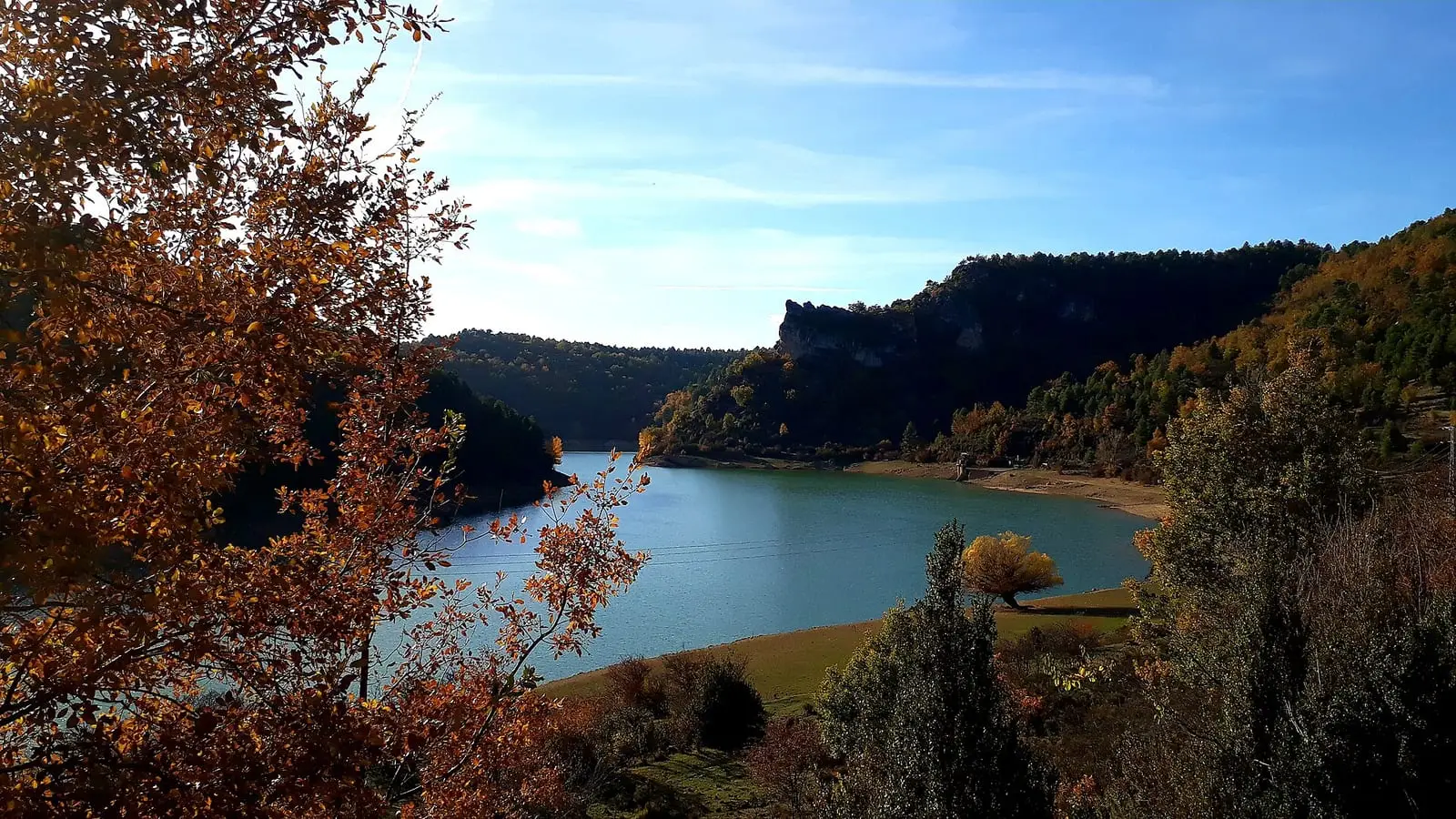
La Tosca reservoir
Santa María del ValSee 5 more
Fuente de los Tilos picnic area
Beteta
Armentero viewpoint
Beteta
Cruz de Solán viewpoint
Beteta
Tragavivos viewpoint
Cañizares
Peña del Águila viewpoint
CarrascosaPopulation of Cueva del Hierro, 1842–2021
Cueva del Hierro reached 197 inhabitants in 1960. The 2021 census counted 35, 82 % fewer. It is the story told in the emptying.
Climate in Cueva del Hierro month by month
Averages for the ten years from 2015 to 2024 from the ERA5 reanalysis (Copernicus), for a grid cell with a reference altitude of 1335 m. They are model estimates, not measurements from a local station or thirty-year climate normals.
Source: Copernicus ERA5 via Open-Meteo, CC BY 4.0. Retrieved: 2026-10-09.
Location
● Reference point · ● Villages · ● Places · ━ Routes nearby
Location sketch. The map with paths and names loads as you scroll to it.
Approximate position: village centre.
Reference villages: Beteta · Masegosa · Lagunaseca · Valsalobre.
Open the full map and its historical layers →Where the data on this page come from
- Location
- IGN: Nomenclátor Geográfico Básico de España, capital de municipio (CC BY 4.0) source consulted, 9 October 2026
- Municipality (INE code)
- Turismo de Castilla-La Mancha source consulted, 4 October 2026
- Name
- Turismo de Castilla-La Mancha source consulted, 4 October 2026
«Source consulted»: the primary source has been read. «Reference located»: the source has been identified but not yet read. «Open question»: the figure needs confirmation.
altotajo.es, the sister atlas of the Alto Tajo, also has a page on Cueva del Hierro.