Village · Cuenca
Masegosa
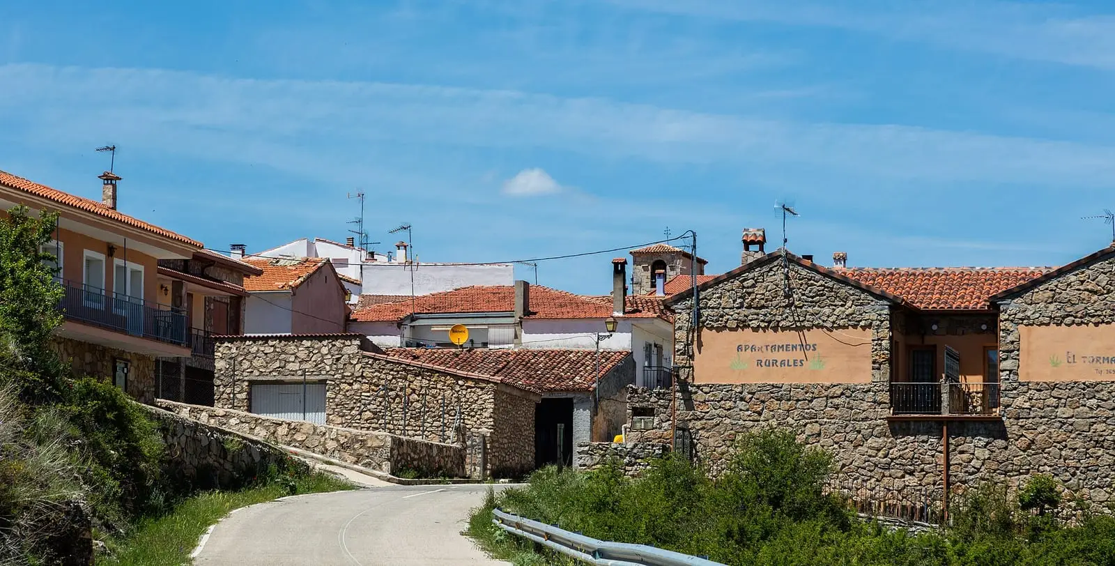
Masegosa is a village in Serranía Alta (upper Serranía), 5 km from Beteta. Its municipality contains the Muela Pinilla y del Puntal Natural Monument and two sites with 8th- or 9th-century fortifications, Cabeza de la Torre and El Castillejo. It had 436 inhabitants in 1960 and 62 in 2021.
On this page 15 sections
- A high village between flat-topped hills
- What trades and memory tell
- Houses built for the cold
- The butcher’s tally stick
- Conscripts, May songs and the Rubia de Masegosa
- El Brezal
- The Becerril cross
- When asphodel gathering was opened
- Routes
- Plan your visit
- Frequently asked questions
- Carry on from here
- Population
- Climate
- Location
A high village between flat-topped hills
Masegosa lies in Serranía Alta (upper Serranía), between Lagunaseca and Beteta. It is one of the coldest villages in the mountains. Its municipality contains the Muela Pinilla y del Puntal natural monument, 640 hectares of limestone with forms such as the «piedra calavera» (skull stone), passages between rocks and the Gamonal viewpoint.
What trades and memory tell
North and south of the village are two fortified hills, Cabeza de la Torre and El Castillejo. The first excavation campaign, in 2018, found prehistoric occupation at both, with handmade pottery and stone tools, and another phase from early Islamic times: glazed pottery, an iron armour scale and nails. Radiocarbon dated the latest floors to the late 8th or early 9th century. They are among the earliest Muslim traces in the Serranía, like the castle of Huélamo.
Houses built for the cold
The church doorway stands at 1,376 metres: Masegosa is the province’s third-highest village, after Zafrilla and Vega del Codorno. It stands on a saddle between two valleys, with a plentiful spring on either side, Hontecilla and Huerta, on the same Ciudad Encantada dolostone exposed at Peñas del Lobao and El Peñueco. Everything needed for building was less than an hour away on a working animal: limestone for walls, sand from Los Cantosares and Fuente de la Rana, lime from lime kilns, gypsum from gypsum workings, tiles from the Las Povedas tileworks and pine for beams, chilla, thin boarding, and corcha, their word for bark.
The main streets run west to east so that almost all façades face south, with large windows on that side and only tiny openings to the north, where houses are half buried in the slope. The façades were whitewashed each spring. Many had a vine giving shade in summer and letting sun through in winter, although the grapes almost never ripened, and some had a corredor, a balcony running along the façade for drying beans and ripening apples. Mules and hens lived below, entering and leaving through the arbollón, a hole beside the door; straw and grain were stored above in the loft.
The butcher’s tally stick
Until after 1953, meat was bought on credit using a tarja: a wooden strip about 25 centimetres long on which the butcher cut a notch for each pound or half-pound the customer took. The customer kept the stick and brought it whenever buying meat, branded with the butcher’s initial to distinguish it from another shop’s. Once about 30 pounds had been eaten, the bill was paid with a sheep weighing about 60, with money only for the difference. Anyone losing their stick paid twice the amount owed by the village’s biggest meat consumer. A story tells of a child who, after watching the butcher mark it, carried on cutting notches with a penknife at home and used up a whole sheep without tasting the meat.
Conscripts, May songs and the Rubia de Masegosa
Young men called up for military service first went down to Cuenca to be measured and enter the draw. For luck, they took bones at night from the old cemetery beside the church, returning them once they knew their posting. The evening before departure there was dancing, every young woman obliged to find a partner, by an oil lamp which someone always put out with a cry of «¡Apagón!» (lights out!), and charcoal was used on walls and the pelota court to write «VIVAN LOS QUINTOS DEL…» (long live the conscripts of…). Next morning the young women accompanied them to El Chaparral or El Cerrillo de la Oración with guitars and bandurrias, plucked string instruments; from there they walked on to Cañizares, where the scheduled bus awaited them.
Pío Baroja included a Rubia de Masegosa in his Memorias de un hombre de acción: the lover of a bandit in the Carlist band of the Cantarero de Beteta, during the months of 1839 and 1840 when Cabrera’s Carlists occupied Beteta. She has black hair, rides a horse and is crueller than the men in the band, who end up dead or imprisoned at Mirambel while she escapes. She is almost certainly fictional.
In April 2006 Masegosa sang the mayos, May songs, again on the night of 30 April, with a plucked-string ensemble and two choirs that rehearsed in the bakehouse. A villager had written down the words from memory, and they begin as in so many Castilian villages: «Estamos a treinta del abril cumplido» (it is the thirtieth, April is over). No one understood some words any longer, such as the mysterious desmampa: that is what happens to things learnt by ear.
In August 1934 the Republic’s Misión Pedagógica (Teaching Mission) brought sound cinema to Masegosa and screened seven films; a library remained in the village. The story is told in The Teaching Missions in Serranía Alta.
El Brezal
East of the village, in the area everyone calls El Berzal, the province’s oldest rocks outcrop: quartzites and slates from the Palaeozoic Era. On the Hoz stream, less than a kilometre from Bocalahoz, are textbook Hercynian folds. The acidic soil allows heather to grow, rare elsewhere in the mountains, and on the wetter banks of the Chico river, foxgloves, a plant of Galicia and Cantabria, appear in some summers. The chicharra de Ortega (Steropleurus ortegai), a wingless grasshopper endemic to the Alto Tajo and its surroundings, lives there, still moving through the woods on sunny mornings in midwinter.
The Becerril cross
The parish processional cross, wood clad in silver sheets, bears the marks of Francisco Becerril (1494–1572), Cuenca’s great Renaissance silversmith, and of the city of Cuenca. It dates from the mid-16th century and may be the earliest of a group of very similar crosses, with arm edges curling like a letter c, also found in Cañada del Hoyo, Laguna del Marquesado, El Tobar, El Cubillo, Arcos de la Sierra and Ribatajada. In the rear medallion, the Virgin and Child holds Eve’s apple and treads on the devil above a crescent moon. Restored, it has returned to processions.
When asphodel gathering was opened
Gamón (white asphodel, Asphodelus albus) fed each household’s pig. Its leaves are toxic raw, so they were boiled in the pig’s cauldron with peelings and old potatoes. Gathering was forbidden until St John’s or St Peter’s Day, and on opening day the whole family went out into the countryside; many slept the previous night on the patch they wanted to gather. The plants were pulled by hand, tied in sheaves that marked boundaries and carried by mule to the threshing floor, around eight journeys and 300 kilos per household. On village land they were free; on the Belvalle estate, the keeper waited at the entrance to the Corral de Blanco track and charged in potatoes or beans. The stalk, the gamonita, was used for the rods of zambombas, friction drums.
Routes
The Muela Pinilla y del Puntal interpretive trail is 4.5 km long and takes an hour and a half. Access is along the CM-2201 from Beteta and about 8 km further towards Peralejos de las Truchas, to the car park on the CM-2106; the same road leads to the source of the Cuervo.
Plan your visit
Combine the Muela trail with Beteta, or with the Lagunaseca sinkholes.
Before you travel
The monument’s railings mark the route; they do not provide protection: do not lean on them. Mobile reception is poor; carry a map and warm clothing. The two fortified hills have no visitor facilities.
Combine with
Lagunaseca is 1.8 km away in a straight line, Cueva del Hierro 4.1 km and Beteta 5.1 km.
Frequently asked questions
What is there at Muela Pinilla?
A 640.47-hectare natural monument with rock formations such as the «piedra calavera» (skull stone), passages between rocks and the Gamonal viewpoint, explored on a 4.5 km interpretive trail taking an hour and a half.
What are Cabeza de la Torre and El Castillejo?
Two archaeological sites north and south of Masegosa with remains of Islamic fortifications. The first campaign, in 2018, produced radiocarbon dates in the late 8th and early 9th centuries for the final occupation floors.
Carry on from here
The rivers, zones, eras, places and official routes that the atlas links with Masegosa.
Lands and landscapes
From here, follow the memory of the land
These readings connect Masegosa with the stories, the work and the villages around it.
Traces in the village and around it
Which eras you can read here
A single place can keep traces of several periods. These layers connect what you see with the atlas's stories.
Places in the municipality and around it
Official routes
Near Masegosa
Lagunas de El Tobar
Beteta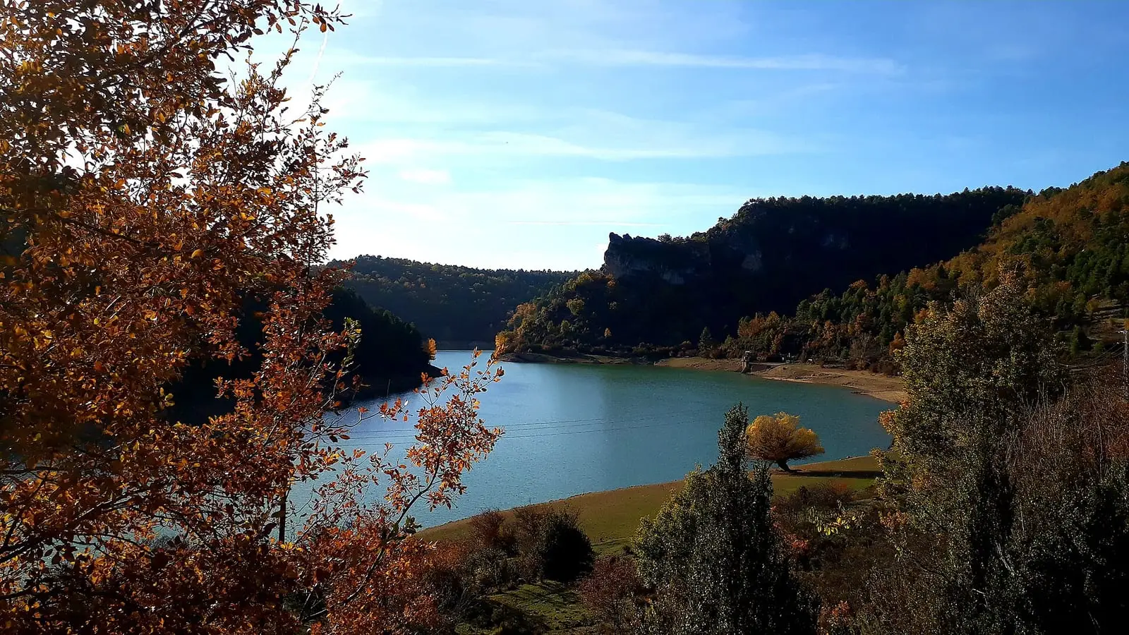
La Tosca reservoir
Santa María del Val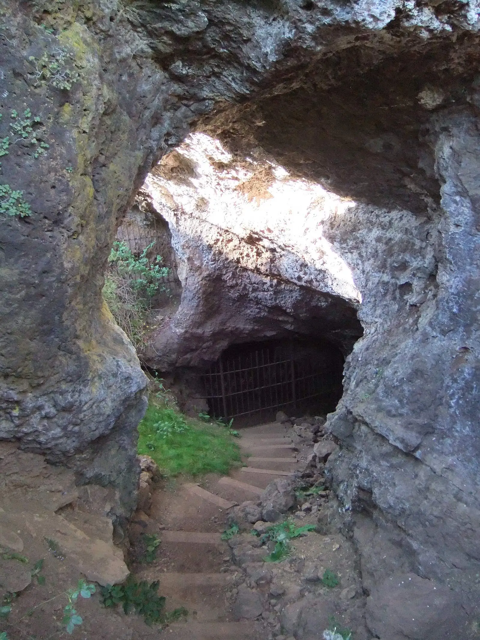
Roman mine of Cueva del Hierro
Cueva del HierroSee 5 more
Casa de la Pradera picnic area
Beteta
Fuente de los Tilos picnic area
Beteta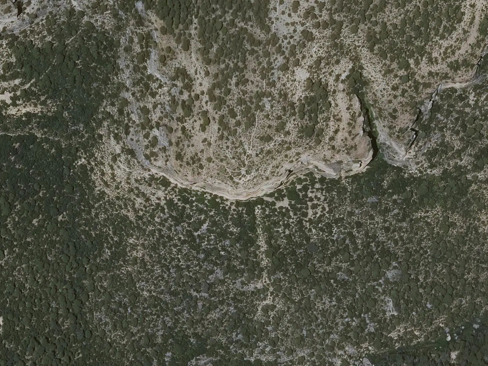
Cruz de Solán viewpoint
Beteta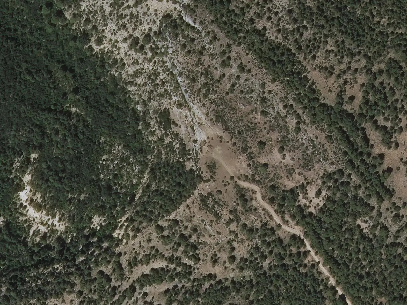
Armentero viewpoint
Beteta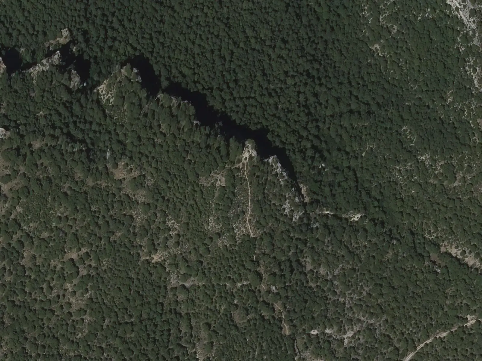
Tragavivos viewpoint
CañizaresPopulation of Masegosa, 1842–2021
Masegosa reached 436 inhabitants in 1960. The 2021 census counted 62, 86 % fewer. It is the story told in the emptying.
Climate in Masegosa month by month
Averages for the ten years from 2015 to 2024 from the ERA5 reanalysis (Copernicus), for a grid cell with a reference altitude of 1373 m. They are model estimates, not measurements from a local station or thirty-year climate normals.
Source: Copernicus ERA5 via Open-Meteo, CC BY 4.0. Retrieved: 2026-10-09.
Location
● Reference point · ● Villages · ● Places · ━ Routes nearby
Location sketch. The map with paths and names loads as you scroll to it.
Approximate position: village centre.
Reference villages: Lagunaseca · Cueva del Hierro · Santa María del Val · Beteta.
Open the full map and its historical layers →Where the data on this page come from
- Location
- IGN: Nomenclátor Geográfico Básico de España, capital de municipio (CC BY 4.0) source consulted, 9 October 2026
«Source consulted»: the primary source has been read. «Reference located»: the source has been identified but not yet read. «Open question»: the figure needs confirmation.
altotajo.es, the sister atlas of the Alto Tajo, also has a page on Masegosa.