Route · Laguna del Marquesado
Sendero interpretativo de la laguna del Marquesado
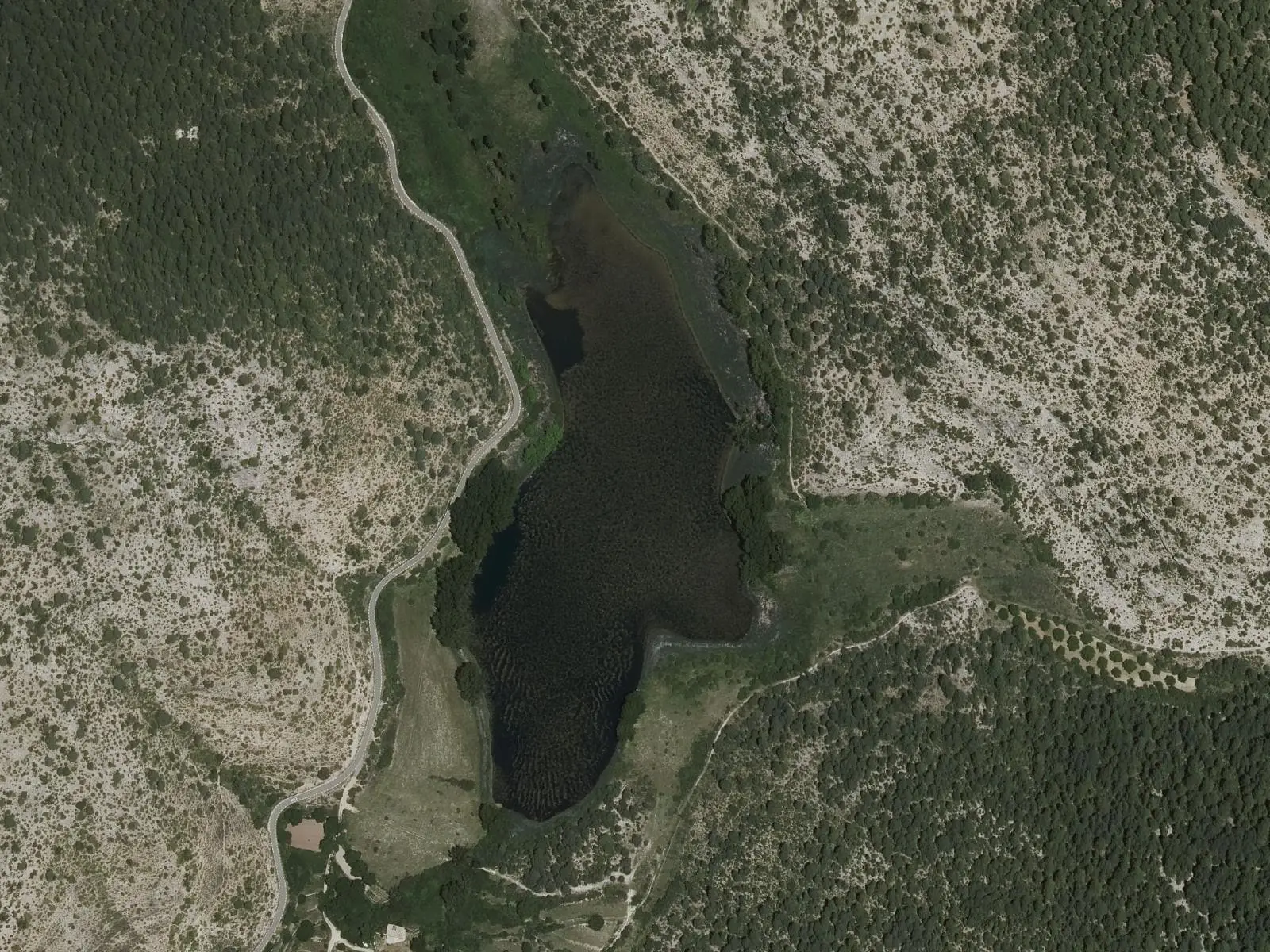
The Laguna del Marquesado interpretive trail is a 5.5 km circuit taking about 2.5 hours through the Nature Reserve in Serranía Alta (upper Serranía), recommended by the regional government of Castilla-La Mancha for observing the tufa wetland and its aquatic vegetation without disturbing wildlife.
- Distance
- 5.5 km
- Time
- 2.5 h
- Layout
- Circular
- Difficulty
- Easy
Walking time without travel or stops. Difficulty as graded by the official source. «Easy» does not mean accessible.
- Laguna del Marquesado
- Interpretive trail
- Nature Reserve
Where to start
At the entrance to Laguna del Marquesado, where a panel explains the reserve.
The route
It crosses the village northwards, crosses the Laguna river on a wooden footbridge and circles the lake, a wetland enclosed by a tufa barrier, climbing on the east and descending on the west. Waterbirds can be seen from the path.
Difficulty and time
Circular, 5.5 km, about two and a half hours.
Before you set out
Do not enter the water: Sparganium natans, found nowhere else on the peninsula, depends on it staying clean. SL-CU 15, a local trail, is the lake’s other trail.
Official route · Junta de Comunidades de Castilla-La Mancha. Description, track and notices on the official route page (in Spanish). Before you set out, check there for changes or closures.
Frequently asked questions
How long is it?
5.5 km, circular, taking about 2.5 hours.
What must be respected?
The plant Sparganium natans, unique on the peninsula, depends on clean water: do not enter the water.
Carry on from here
Lands and landscapes
From here, follow the memory of the land
These readings connect Sendero interpretativo de la laguna del Marquesado with the stories, the work and the villages around it.
Where it is
● Villages · ● Places · ━ Simplified official route
Location sketch. The map with paths and names loads as you scroll to it.
Reference villages: Laguna del Marquesado · Huerta del Marquesado · Zafrilla · Tejadillos.
Open the full map and its historical layers →Download GPX track · Official source · GPX converted from the official KML.
Where the data on this page come from
- Name
- Junta de Comunidades de Castilla-La Mancha — Medio Natural source consulted, 4 October 2026
- Municipality (INE code)
- Junta de Comunidades de Castilla-La Mancha — Medio Natural source consulted, 4 October 2026
- Route data
- Junta de Comunidades de Castilla-La Mancha — Medio Natural source consulted, 4 October 2026
«Source consulted»: the primary source has been read. «Reference located»: the source has been identified but not yet read. «Open question»: the figure needs confirmation.