Route · Masegosa
Sendero Interpretativo Muela Pinilla y del Puntal
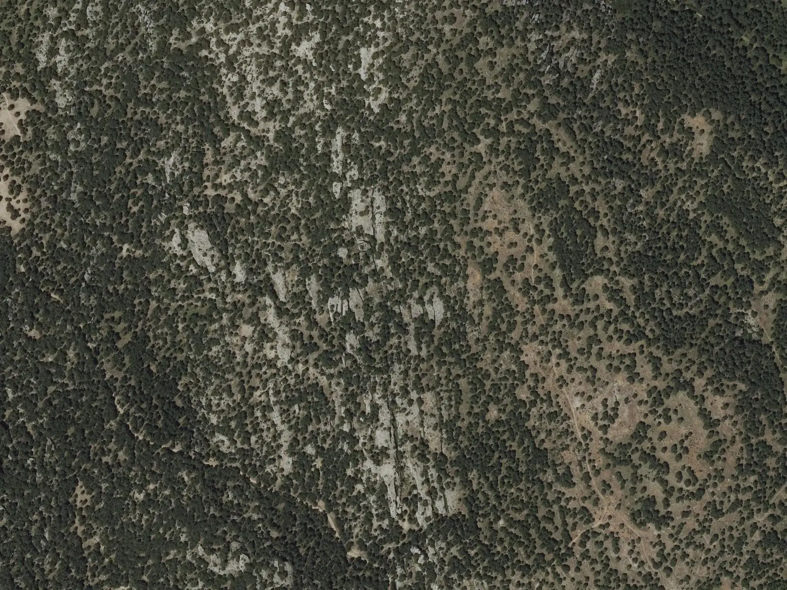
The Muela Pinilla y del Puntal interpretive trail is a 4.5 km circuit taking about 1.5 hours through the 640.47 ha natural monument in Masegosa. It shows formations such as Piedra Calavera, passages between rocks and the view from the Gamonal viewpoint.
- Distance
- 4.5 km
- Time
- 1.5 h
- Layout
- Circular
- Difficulty
- Easy
Walking time without travel or stops. Difficulty as graded by the official source. «Easy» does not mean accessible.
- Muela Pinilla
- Masegosa
- Interpretive trail
- Natural Monument
Where to start
At the CM-2106 car park: access is along the CM-2201 from Beteta and about 8 km further towards Peralejos de las Truchas, within Masegosa.
The route
It explores the Muela Pinilla y del Puntal natural monument, 640 hectares of limestone: Piedra Calavera, passages between rocks and the view from the Gamonal viewpoint.
Difficulty and time
Circular, 4.5 km, an hour and a half.
Before you set out
The railings mark the path; they do not provide protection: do not lean on them. Reception is poor and it is easy to get lost: plan the walk. The same road leads to the Cuervo source.
Official route · Junta de Comunidades de Castilla-La Mancha. Description, track and notices on the official route page (in Spanish). Before you set out, check there for changes or closures.
Frequently asked questions
How do you get there?
Along the CM-2201 from Beteta and about 8 km further towards Peralejos de las Truchas, to the car park on the CM-2106.
What does the regional government warn about?
Do not lean on the railings, which mark boundaries rather than protect; plan the walk and remember that mobile reception is poor and there is a risk of getting lost.
Carry on from here
Lands and landscapes
From here, follow the memory of the land
These readings connect Sendero Interpretativo Muela Pinilla y del Puntal with the stories, the work and the villages around it.
Where it is
● Villages · ● Places · ━ Simplified official route
Location sketch. The map with paths and names loads as you scroll to it.
Reference villages: Masegosa · Lagunaseca · Cueva del Hierro · Santa María del Val.
Open the full map and its historical layers →Download GPX track · Official source · GPX converted from the official KML.
Where the data on this page come from
- Name
- Junta de Comunidades de Castilla-La Mancha — Red de Áreas Protegidas source consulted, 4 October 2026
- Municipality (INE code)
- Junta de Comunidades de Castilla-La Mancha — Red de Áreas Protegidas source consulted, 4 October 2026
- Route data
- Junta de Comunidades de Castilla-La Mancha — Red de Áreas Protegidas source consulted, 4 October 2026
«Source consulted»: the primary source has been read. «Reference located»: the source has been identified but not yet read. «Open question»: the figure needs confirmation.