Natural Monument
Muela Pinilla y del Puntal Natural Monument
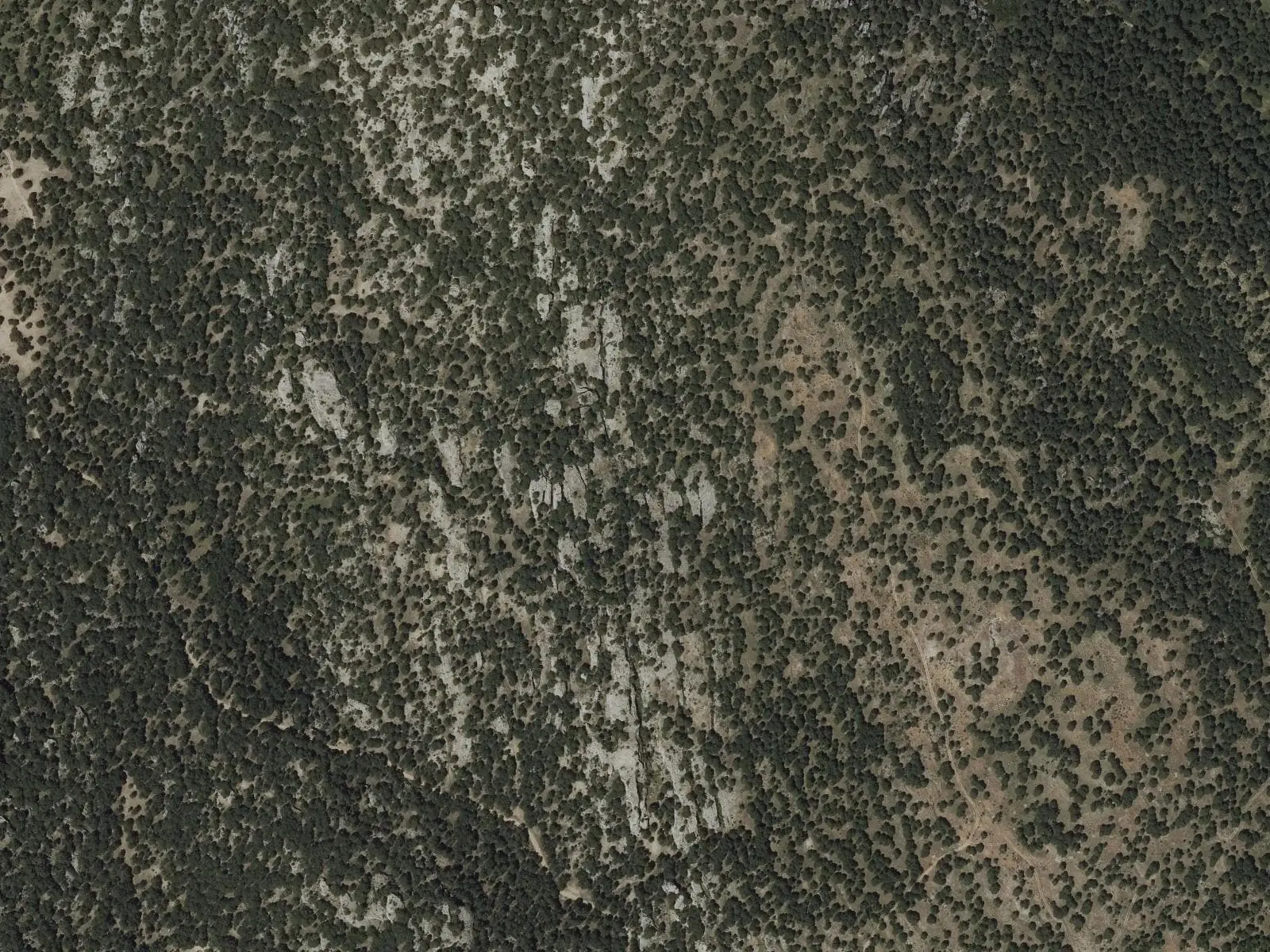
Muela Pinilla y del Puntal is a Natural Monument of 640.47 hectares in Masegosa, designated by Decree 281/2003. It is a Cretaceous limestone muela with its own Ciudad Encantada, the tormagal, ruin-like dolostone landforms with arches and rock alleys, surrounded by Scots-pine forest.
- Designation
- Natural Monument
- Legal basis
- Decreto 281/2003, de 23 de septiembre
- Area
- 640.47 ha
- Municipalities
- 1
- Natural Monument
- Masegosa
- Tormagal
- Muela
- Dolostones
A muela on the north-eastern edge
The Natural Monument is in Masegosa, at the north-eastern end of the Serranía. It is a muela, a flat-topped limestone hill: a high, level table with steep sides, made of Cretaceous limestone and surrounded by valleys of Jurassic rock. Its synclinal structure gives it inverted relief, and water has worked the limestone heavily at the surface.
The tormagal
Its most valuable feature is its tormagal, an extensive «ciudad encantada» (enchanted city) of dolostone, with tormos, isolated rock towers, arches, rock alleys and small basins hollowed in the rock. Among the stones live plants such as Armeria trachyphylla, found only in Cuenca, Guadalajara and Teruel, and orchids such as Cephalanthera rubra. Scots pine dominates, with thickets of barberry, wild rose and juniper.
The Spanish moon moth, wildcat, genet, badger, red deer and wild boar live here.
The most striking part of the tormagal covers about a hundred hectares, with rock alleys up to ten metres deep and some up to fifteen wide, and many natural arches. The name comes from tormo, the isolated, prominent rock.
Plan your visit
The interpretive trail makes a 4.5 km circuit of the muela.
Before you travel
Follow the paths, without climbing the rocks. Mobile coverage is poor.
Combine with
The Torcas de Lagunaseca, in the neighbouring village, and Beteta.
Frequently asked questions
What is the tormagal?
The local name for the muela's ruin-like dolostone landforms, Masegosa's Ciudad Encantada. Isolated rock towers, arches and rock alleys are common.
When was it designated?
By Decree 281/2003 of 23 September, in the municipality of Masegosa.
Carry on from here
Lands and landscapes
From here, follow the memory of the land
These readings connect Muela Pinilla y del Puntal Natural Monument with the stories, the work and the villages around it.
Which municipalities it covers
Where the data on this page come from
- Name
- Junta de Castilla-La Mancha, Red de Áreas Protegidas: Monumento Natural Muela Pinilla y del Puntal (ficha) source consulted, 5 October 2026
- Designation and legal basis
- Junta de Castilla-La Mancha, Red de Áreas Protegidas: Monumento Natural Muela Pinilla y del Puntal (ficha) source consulted, 5 October 2026
«Source consulted»: the primary source has been read. «Reference located»: the source has been identified but not yet read. «Open question»: the figure needs confirmation.
altotajo.es, the sister atlas of the Alto Tajo, also has a page on Muela Pinilla y del Puntal Natural Monument.