Village · Cuenca
Santa María del Val
Santa María del Val is a village in Serranía Alta (upper Serranía), within the Natural Park at over 1,100 metres, very close to the Cuervo river source, the natural monument where water emerges among travertines and waterfalls. It lived from livestock and woodland. It had 353 inhabitants in 1960 and 62 in 2021.
On this page 10 sections
A village of woodland and livestock
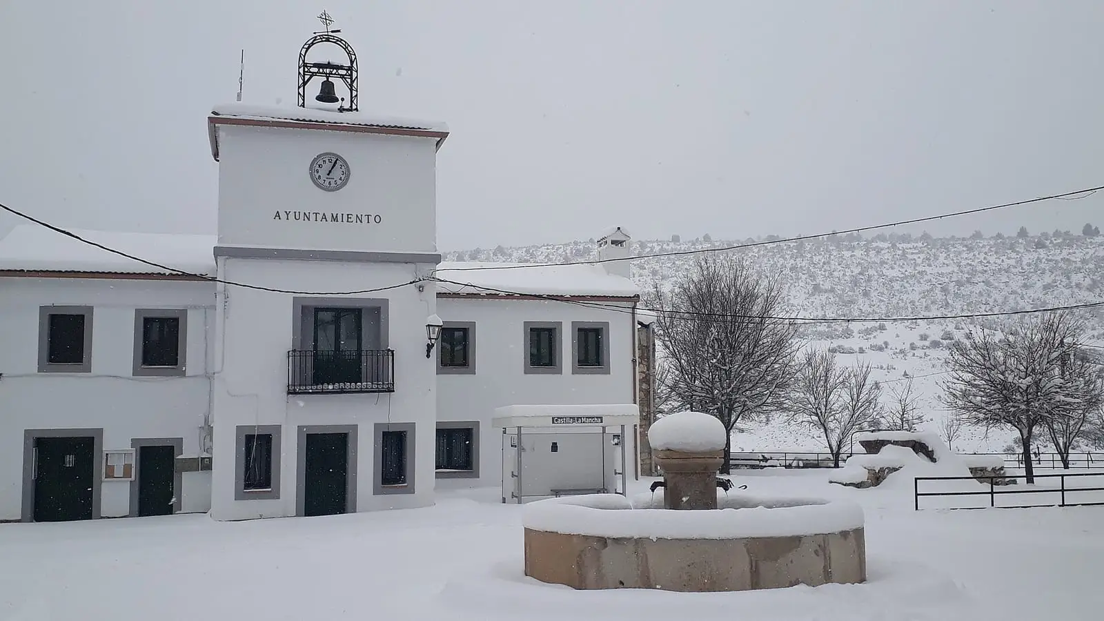
Santa María del Val lies in the north-east of the province, in Serranía Alta (upper Serranía), within the Natural Park at over 1,100 metres. Its 46 km² municipality is Scots-pine country, with ravines and water-shaped limestone. People lived from livestock and woodland. The village has mountain architecture, with narrow streets, rubble-stone houses with tiled roofs and the Asunción church. Its main festival is around 15 August.
What trades and memory tell
Logs floated down the Guadiela and its tributaries to the Tagus, and Santa María del Val is one of five Cuenca municipalities included in the designation of the Gancheros del Alto Tajo as a Bien de Interés Cultural (Spain’s highest heritage listing): The gancheros of the Escabas and Guadiela.
Beside the fountain at the village entrance stood the council elm, the grandest in the Serranía; villagers simply called it «el árbol» (the tree). Hollow and twisted, with nests in its branches, it gave shade, a meeting point for children and a gathering place for older people, who called that circle the Congress. It had survived fire and pruning; the mayor estimated it at seven or eight hundred years old, although no one has measured it. Dutch elm disease, which in the last half-century killed almost all the square elms, such as those in Carrascosa, Tragacete and Masegosa, reached it in 2012: the following year it produced no leaves, and its last two branches had to be cut. The dead trunk was preserved, weather-treated and filled with earth, and a new elm planted inside. Another grows beside it, from a shoot a villager gathered around 2005, tended at home and transplanted beside the old tree around 2015. In 2025 both were still growing. The story is told in Trees with names.
On Muela del Rebollar, within the municipality, is a small cave, the Similla del Val, with a water supply installed by shepherds. A drop falls from a stalactite every couple of seconds, even in midsummer, into a wooden trough someone brought down from outside, which lime-rich water has gradually coated until it looks like stone. On the edge was a resin-collecting cup for filling water bottles when the plateau’s springs dried up. This cave has no visitor facilities: reaching that chamber requires crawling.
Around Santa María del Val
- The Cuervo river source, very close, although within Vega del Codorno: water among tufa and waterfalls, with boardwalks, the interpretation centre and SL-CU 14 (local trail).
- The Torcas de Lagunaseca, in the neighbouring village.
Ashlar stone and a canon’s house
Santa María del Val was one of Beteta’s seven villages until 1821. Its church, Nuestra Señora de las Nieves, has a forecourt before the round-arched doorway and a square ashlar tower; the sacristy preserves a medieval alfarje, a timber ceiling, indicating an earlier church. On the outskirts stands the small Santo Cristo de la Misericordia hermitage. A large L-shaped house in the village, at the corner with Travesía de la Iglesia, was known as the Casa del Canónigo; its lintelled doorway between 17th-century Baroque jambs remains, but the stucco and reliefs adorning it have gone. Some houses use the rock for shelter. In the Los Huertos ravine, in La Dehesa and at Solán de Cabras, veins of pyrite and coal were described in the early 19th century, and in 1832 an iron mine began operating in the municipality.
Plan your visit
The Cuervo source takes just over an hour to see; the village less.
Before you travel
At this altitude it turns cool even in summer, and snow can fall from autumn to spring. Tufa grows very slowly and breaks easily: at the source, keep to the boardwalks.
Combine with
Lagunaseca is 3.5 km away in a straight line, Masegosa 4.9 km and Beteta 8.1 km.
From the archive
Frequently asked questions
Where is the Cuervo source?
In the Serranía de Cuenca Natural Park, very close to Santa María del Val; protected-area registers place it within Vega del Codorno's municipality. It is a Natural Monument where water emerges among travertines and waterfalls; access is managed through marked trails, boardwalks and interpretive routes.
When are the festivities?
Around 15 August, in honour of the Virgen de la Asunción, the village's patron saint.
How many inhabitants does it have?
62 in the 2021 census. Its peak was 353 in 1960, according to the INE.
Carry on from here
The rivers, zones, eras, places and official routes that the atlas links with Santa María del Val.
Lands and landscapes
From here, follow the memory of the land
These readings connect Santa María del Val with the stories, the work and the villages around it.
Places in the municipality and around it
Near Santa María del Val
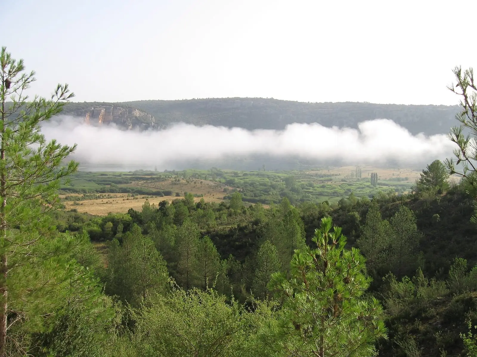
Lagunas de El Tobar
Beteta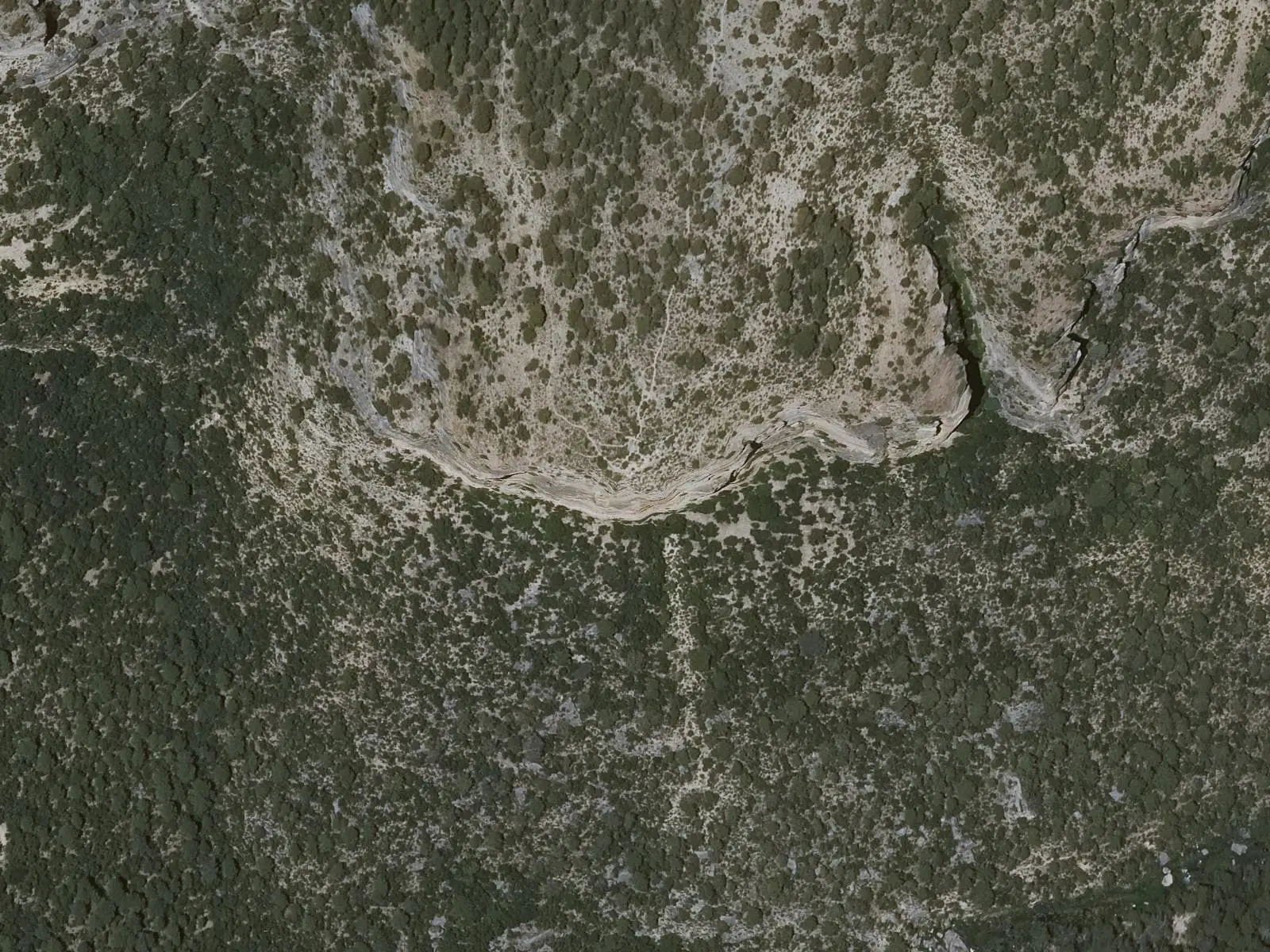
Cruz de Solán viewpoint
Beteta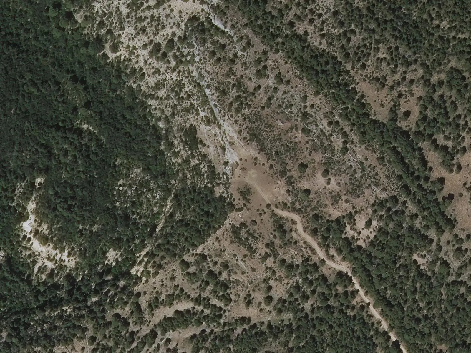
Armentero viewpoint
BetetaSee 5 more
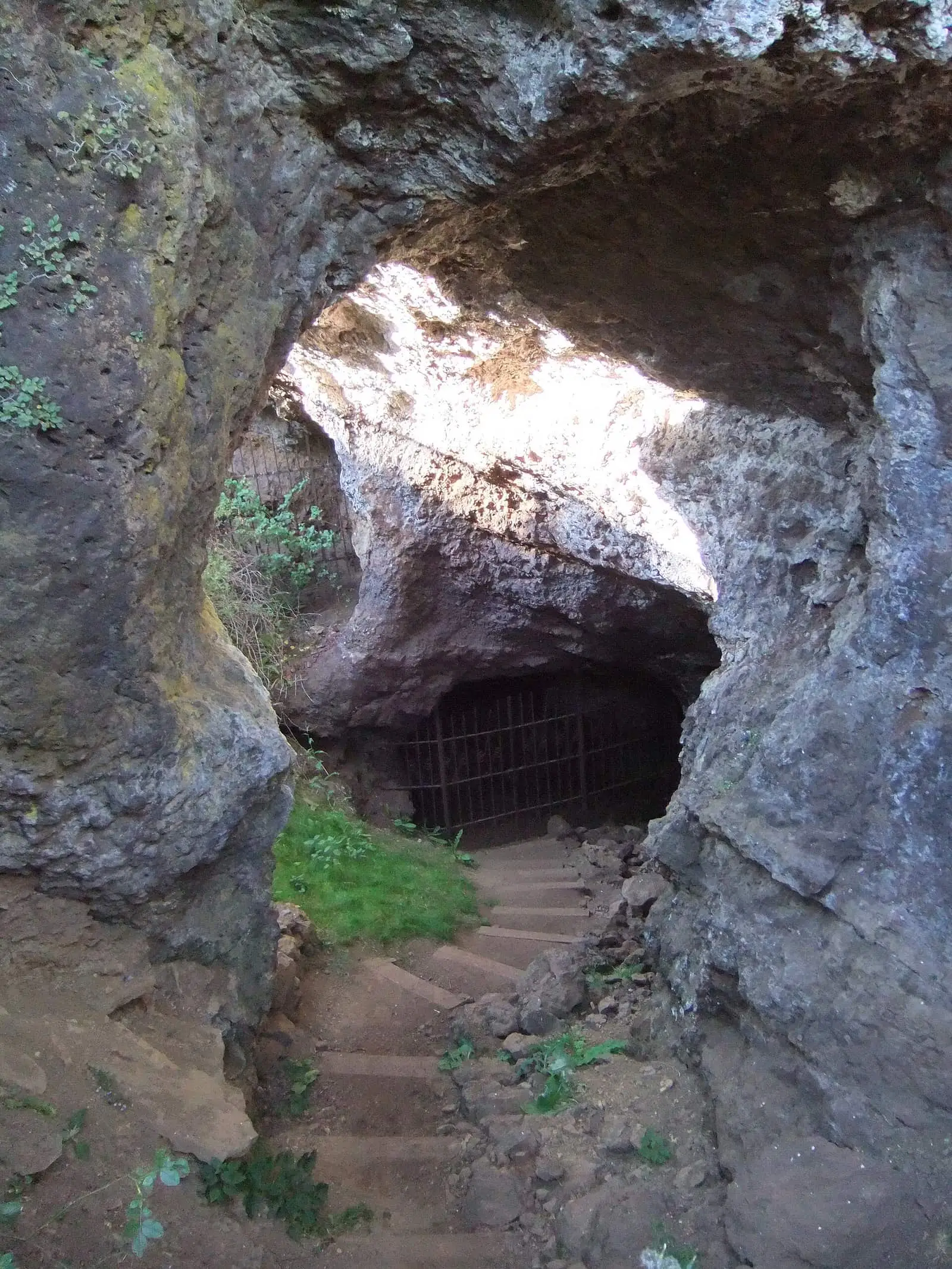
Roman mine of Cueva del Hierro
Cueva del Hierro
Fuente de los Tilos picnic area
Beteta
Casa de la Pradera picnic area
Beteta
Tragavivos viewpoint
Cañizares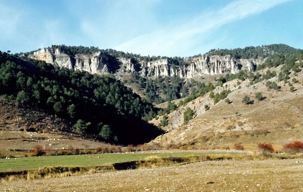
Los Lagunillos picnic area
CuencaPopulation of Santa María del Val, 1842–2021
Santa María del Val reached 353 inhabitants in 1960. The 2021 census counted 62, 82 % fewer. It is the story told in the emptying.
Location
● Reference point · ● Villages · ● Places · ━ Routes nearby
Location sketch. The map with paths and names loads as you scroll to it.
Approximate position: village centre.
Reference villages: Lagunaseca · Masegosa · Beteta · Cueva del Hierro.
Open the full map and its historical layers →Where the data on this page come from
- Location
- IGN: Nomenclátor Geográfico Básico de España, capital de municipio (CC BY 4.0) source consulted, 9 October 2026
«Source consulted»: the primary source has been read. «Reference located»: the source has been identified but not yet read. «Open question»: the figure needs confirmation.