Heritage · Cañete
Former College-Seminary of San Julián
The former Colegio-Seminario de San Julián, or Colegio de Gramática, is the centrally located, well-built building now occupied by Cañete Town Council. In the 19th century, when Cañete took over Moya's judicial district and other administrative functions, the old college was chosen to house local and district government.
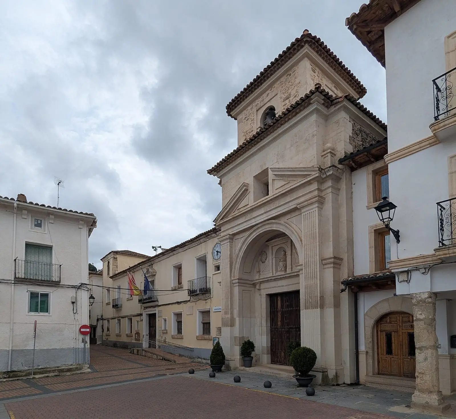
- Municipality
- Cañete
- Town hall
- Cañete
- Colegio de Gramática
- 19th century
Little is known of where Cañete’s council met in the Middle Ages: perhaps a church porch or the main square. As a town under lordship, its officers were appointed by the Hurtado de Mendoza family, which held it for almost five centuries, and as a town under the Moya charter it had two mayors, a judge, village officers, an almotacén, a market inspector, and caballeros de sierra, woodland wardens.
In the 19th century, when declining Moya ceded its judicial district and other functions to Cañete, the centrally located, imposing former Colegio de Gramática became the seat of local and district government. It remains the town hall.
Combine with
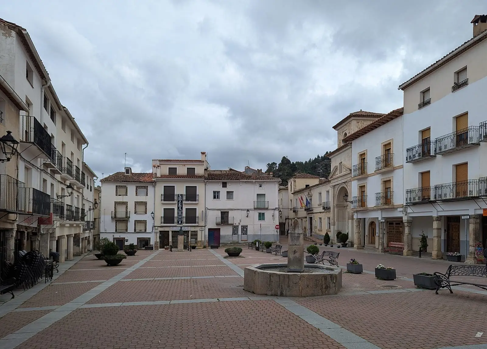
The historic ensemble and San Julián church.

Frequently asked questions
Where was the council before?
Documentation is scarce: perhaps in a church porch or the main square itself. With the restricted council from the 14th century, it needed its own premises.
Carry on from here
Lands and landscapes
From here, follow the memory of the land
These readings connect Former College-Seminary of San Julián with the stories, the work and the villages around it.
Where it is
Where the data on this page come from
- Name
- Ayuntamiento de Cañete source consulted, 5 October 2026
- Municipality (INE code)
- Ayuntamiento de Cañete source consulted, 5 October 2026
«Source consulted»: the primary source has been read. «Reference located»: the source has been identified but not yet read. «Open question»: the figure needs confirmation.