Water · Cañada del Hoyo
Laguna de La Parra
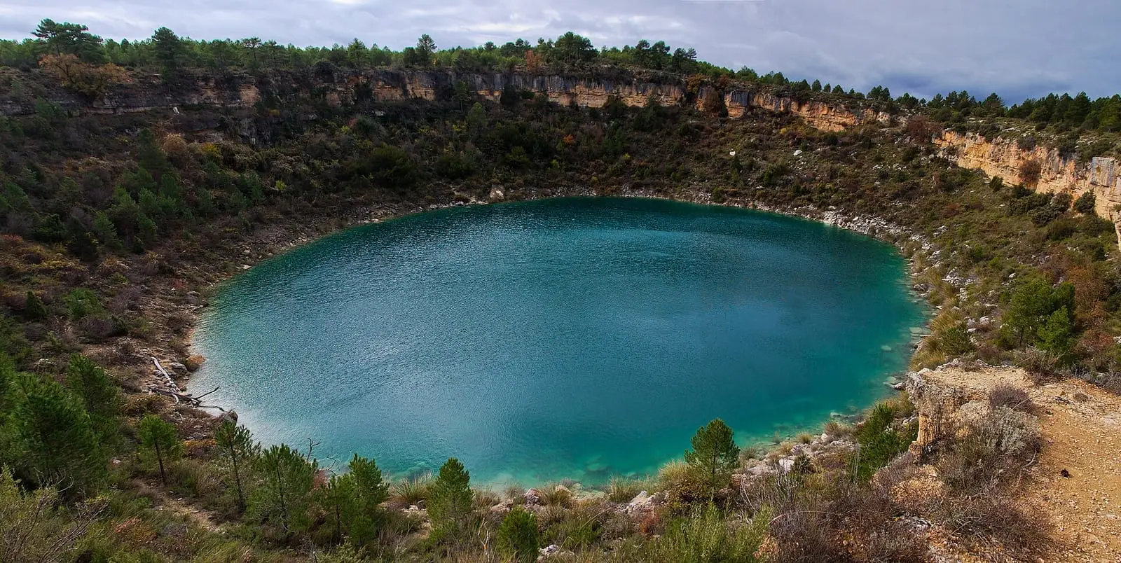
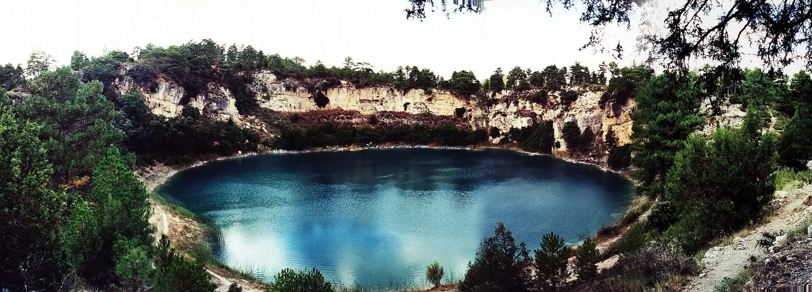
Laguna de La Parra, in Cañada del Hoyo, is a karst lake in a doline intersecting the aquifer. Its sediments preserve around 1,600 years of history: the doline was dry before Roman times and filled around the 4th–5th centuries; it was shallow during the Medieval Climate Anomaly and deeper during the Little Ice Age, between 1350 and 1950.
- Municipality
- Cañada del Hoyo
- Laguna de La Parra
- Cañada del Hoyo
- Doline
- Palaeoclimate
- Sediments
An archive on the bottom
La Parra is one of the lakes of Cañada del Hoyo: a doline reaching the Jurassic and Cretaceous limestone aquifer, so that groundwater fills it. Mud has accumulated layer by layer on its bed, and a team of geologists extracted cores and dated them using radiocarbon.
It tells the history of climate and people. Before Roman times the doline was dry; the lake formed around the 4th and 5th centuries, as the water level rose. Between 980 and 1350, during the so-called Medieval Climate Anomaly, it was shallow and received much soil from the slopes. Between 1350 and 1950, during the Little Ice Age, it was deeper and its bottom was often without oxygen.
Plan your visit
It lies in the surroundings of the Lagunas de Cañada del Hoyo Natural Monument: do not go down to the shore. Nearby is Cañada del Hoyo castle.


Frequently asked questions
What do its sediments tell us?
That the lake formed around the 4th and 5th centuries as groundwater levels rose; that between 980 and 1350 it was shallow and received large amounts of soil, and that between 1350 and 1950 it was deeper, often with no oxygen at the bottom.
Carry on from here
Lands and landscapes
From here, follow the memory of the land
These readings connect Laguna de La Parra with the stories, the work and the villages around it.
This place through time
Which eras you can read here
A single place can keep traces of several periods. These layers connect what you see with the atlas's stories.
Where it is
Where the data on this page come from
- Name
- Fernando Barreiro-Lostres y otros: «Evolución sedimentaria del lago kárstico de La Parra (Cuenca) durante los últimos 1600 años: paleohidrología, clima e impacto humano» (2013) source consulted
- Consejo de Gobierno de Castilla-La Mancha: «Decreto 18/2007, de 20 de marzo, por el que se aprueba el PORN y se declara el Monumento Natural de las Lagunas de Cañada del Hoyo» (2007) reference located
- Municipality (INE code)
- Fernando Barreiro-Lostres y otros: «Evolución sedimentaria del lago kárstico de La Parra (Cuenca) durante los últimos 1600 años: paleohidrología, clima e impacto humano» (2013) source consulted
- Consejo de Gobierno de Castilla-La Mancha: «Decreto 18/2007, de 20 de marzo, por el que se aprueba el PORN y se declara el Monumento Natural de las Lagunas de Cañada del Hoyo» (2007) reference located
«Source consulted»: the primary source has been read. «Reference located»: the source has been identified but not yet read. «Open question»: the figure needs confirmation.