Natural Monument
Lagunas de Cañada del Hoyo Natural Monument
The Lagunas de Cañada del Hoyo are a Natural Monument of 280.71 hectares designated by Decree 18/2007 in the municipality of Cañada del Hoyo. They bring together seven lakes and dozens of torcas in a karst landscape where the sediments of Laguna de la Parra date from the 4th or 5th century.
- Designation
- Natural Monument
- Legal basis
- Decreto 18/2007, de 20 de marzo
- Area
- 280.71 ha
- Municipalities
- 1
- Natural Monument
- Cañada del Hoyo
- Lakes
- Torcas
- La Parra
Seven named lakes
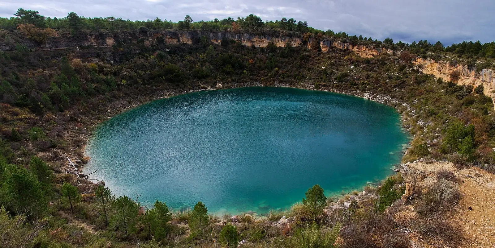
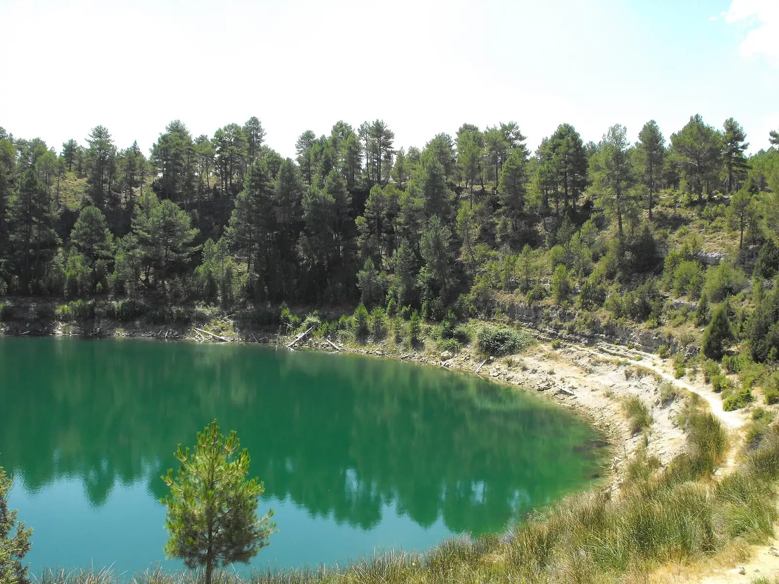
The Natural Monument, covering 280 hectares, is in Cañada del Hoyo, in the Serranía Baja (lower Serranía). It has seven lakes holding water permanently, each with its own name: Laguna de la Cruz or De la Gitana, Laguna del Tejo and Lagunillo del Tejo, Laguna de la Parra, La Llana, Laguna de las Cardenillas and Laguna de las Tortugas. They range from 4 metres deep at Laguna de las Tortugas to 32 at Laguna del Tejo, also the widest at 200 metres. Each has its own colour, depending on what lies on the bottom, and Laguna de la Cruz has a deep layer of water that never mixes with the water above.
How they formed
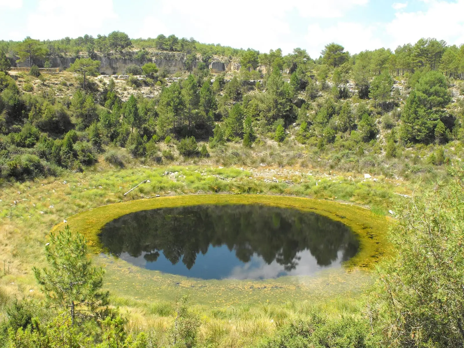
Water dissolved the Cretaceous dolostones where cracks intersected, and the ground collapsed. They hold water because an impermeable layer on the bottom brings the aquifer to the surface. Laguna de la Parra’s sediments show that it filled around the 4th or 5th century.
Plants and animals
Beds of large stoneworts grow underwater, especially in La Llana and Lagunillo del Tejo. Reeds and saw-sedge, a protected plant, grow on the shore. Around them are black pine and Spanish juniper; within the torcas, collapse sinkholes, maple, yew, hawthorn, privet, St Lucie cherry and Portuguese oak. The plankton includes species very rare even worldwide, and the European pond turtle lives here, the province’s only population.
It has been a Natural Monument since 2007 and forms part of the Valle del Cabriel Biosphere Reserve.
A lake for comparison
The Júcar River Basin Authority has been monitoring these lakes for about fifteen years, and in 2023 declared the complex a Lake Nature Reserve, a designation distinct from the Natural Monument. It chose Laguna del Tejo for measurements: samples are taken in February, May, July and September, with chemical analyses and, in summer, studies of phytoplankton, chlorophyll, aquatic plants and invertebrates. According to the head of Water Quality, its condition was very good because it has hardly any surrounding pressures (neither wells nor crops polluting it), making it a reference for how a wetland responds to climate change. Recent sampling measured depths between 23 and 25 metres; the press speaks of 32. The disc used to measure transparency could be seen down to about nine metres.
Plan your visit
The first three lakes are freely accessible; the others are on a private estate. Three official trails start from the village, such as the PR-CU 83 short-distance trail.
Before you travel
View them from the paths and viewpoints, without entering the water. The rules are on the regional government’s portal.
Combine with
The lakes, Laguna de la Parra and the Castillo del Buen Suceso.


Frequently asked questions
How many lakes are there?
A group of seven lakes and dozens of torcas.
When was it designated?
By Decree 18/2007 of 20 March.
Carry on from here
Lands and landscapes
From here, follow the memory of the land
These readings connect Lagunas de Cañada del Hoyo Natural Monument with the stories, the work and the villages around it.
Which municipalities it covers
Where the data on this page come from
- Name
- Junta de Castilla-La Mancha, Red de Áreas Protegidas: Monumento Natural Lagunas de Cañada del Hoyo (ficha) source consulted, 5 October 2026
- Designation and legal basis
- Junta de Castilla-La Mancha, Red de Áreas Protegidas: Monumento Natural Lagunas de Cañada del Hoyo (ficha) source consulted, 5 October 2026
«Source consulted»: the primary source has been read. «Reference located»: the source has been identified but not yet read. «Open question»: the figure needs confirmation.