Serranía de Cuenca · 16 places
Sources, lakes and rivers of the Serranía de Cuenca
The water of the Serranía de Cuenca emerges at sources such as the Júcar's, beside Tragacete, or the Cuervo's, on a tufa barrier, and settles in lakes: Uña, El Marquesado (373 ha of Nature Reserve), Talayuelas and the Cañada del Hoyo group.
Where the water emerges
Limestone swallows the rain and returns it through cracks. The Júcar rises at the foot of the Estrecho del Infierno, near Tragacete: its source is the first stage of the Camino Natural, a greenway of Spain’s national network. The Cuervo emerges from a cleft at the end of a tufa barrier, in the Natural Monument of Vega del Codorno, and supplies the river almost all year. In Fuentes the River Moscas rises among springs, and in Huerta del Marquesado the Las Fuentes area feeds the River Laguna.
Lakes of many origins
Laguna de Uña opens where the Arroyo del Rincón reaches the Júcar and grew with the channel of the Salto de Villalba. Laguna del Marquesado is a karst lake dammed by tufa, a Nature Reserve of 373 hectares. Laguna de Talayuelas is endorheic, with no outlet. The Cañada del Hoyo lakes fill the bottoms of dolines, and La Parra preserves 1,600 years of climate in its mud. In Fuentes, the Moscas complex opens in gypsum, and in El Tobar, Laguna Grande has fresh water above salt water.
In September and October 2022 a population of about fifty Succisella andreae-molinae plants was found in the Serranía Baja (lower Serranía), a plant of rush beds, lime-rich seepages and wet meadows, about two hundred kilometres from the nearest populations in Albacete. The article reporting it does not name the municipality.
Good conduct
These are protected wetlands: observe them from paths and viewpoints, without going down to the shore or entering the water.
This landscape in layers of time
The places in this topic keep traces of these eras. A single place can appear in several.
All the places (16)
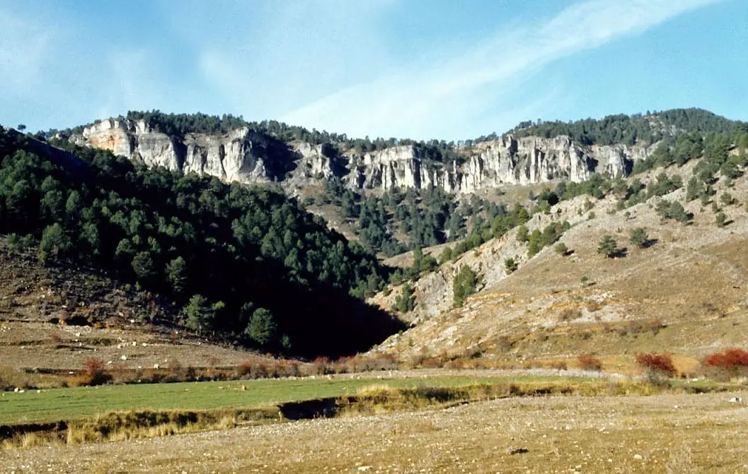
Los Lagunillos picnic area
Cuenca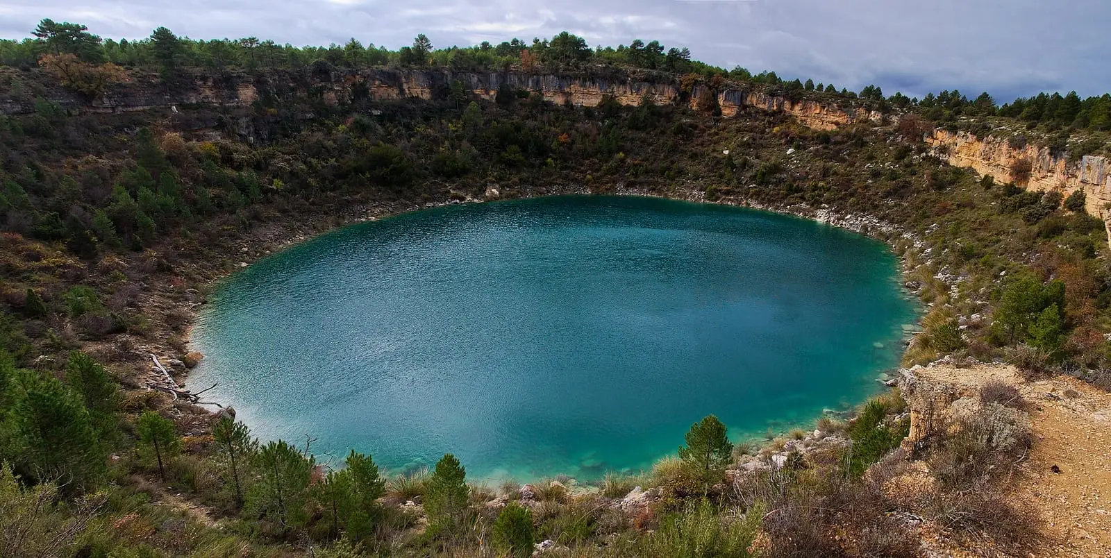
Laguna de La Parra
Cañada del Hoyo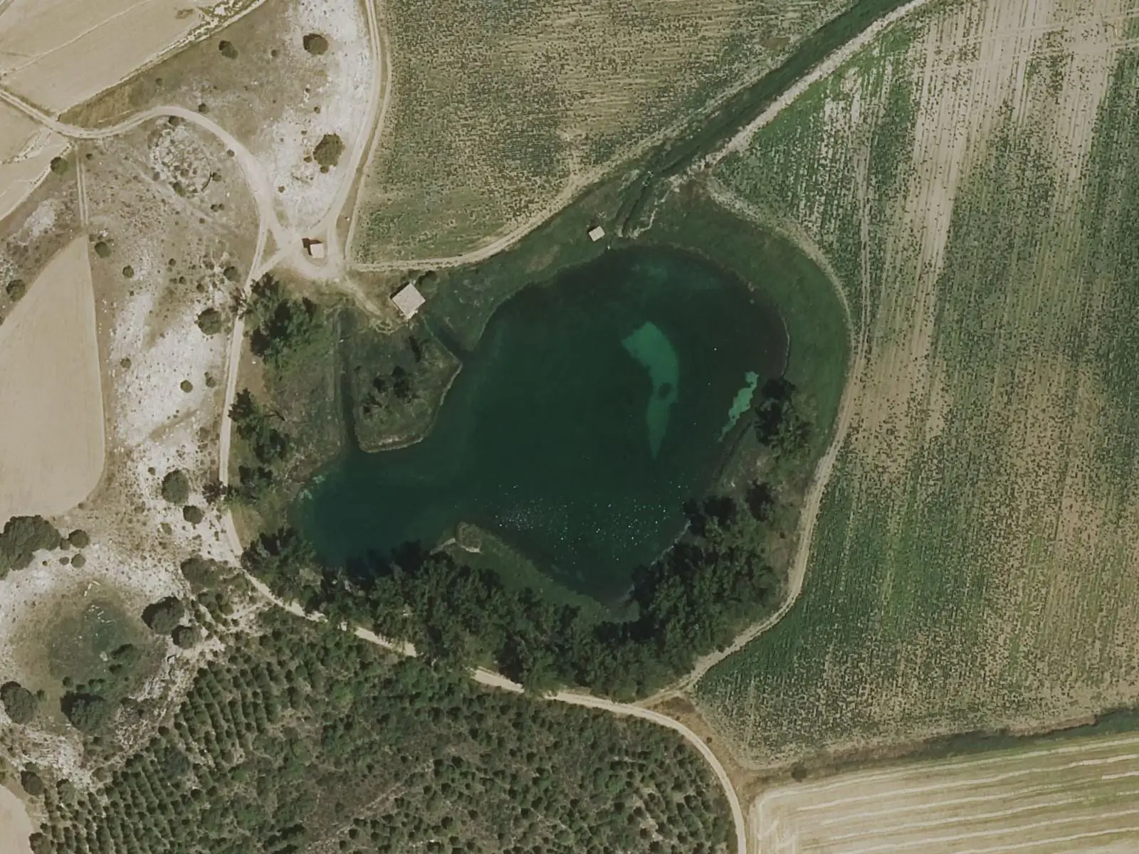
Laguna de los Cedazos
Fuentes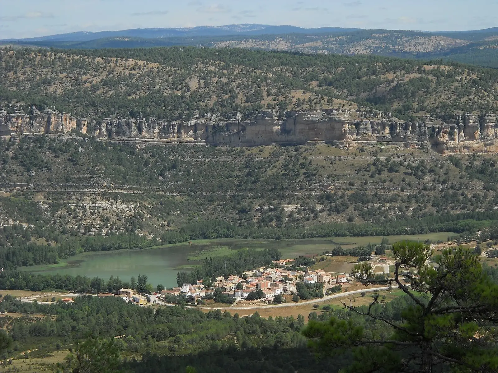
Laguna de Uña
Uña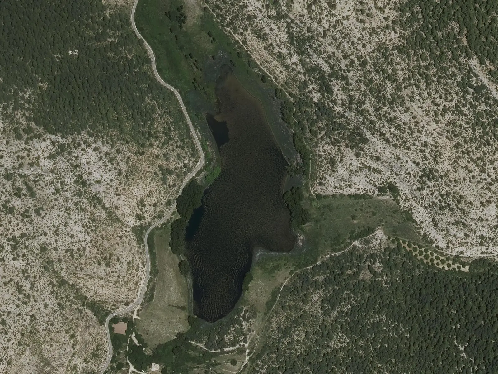
Laguna del Marquesado Nature Reserve
Laguna del Marquesado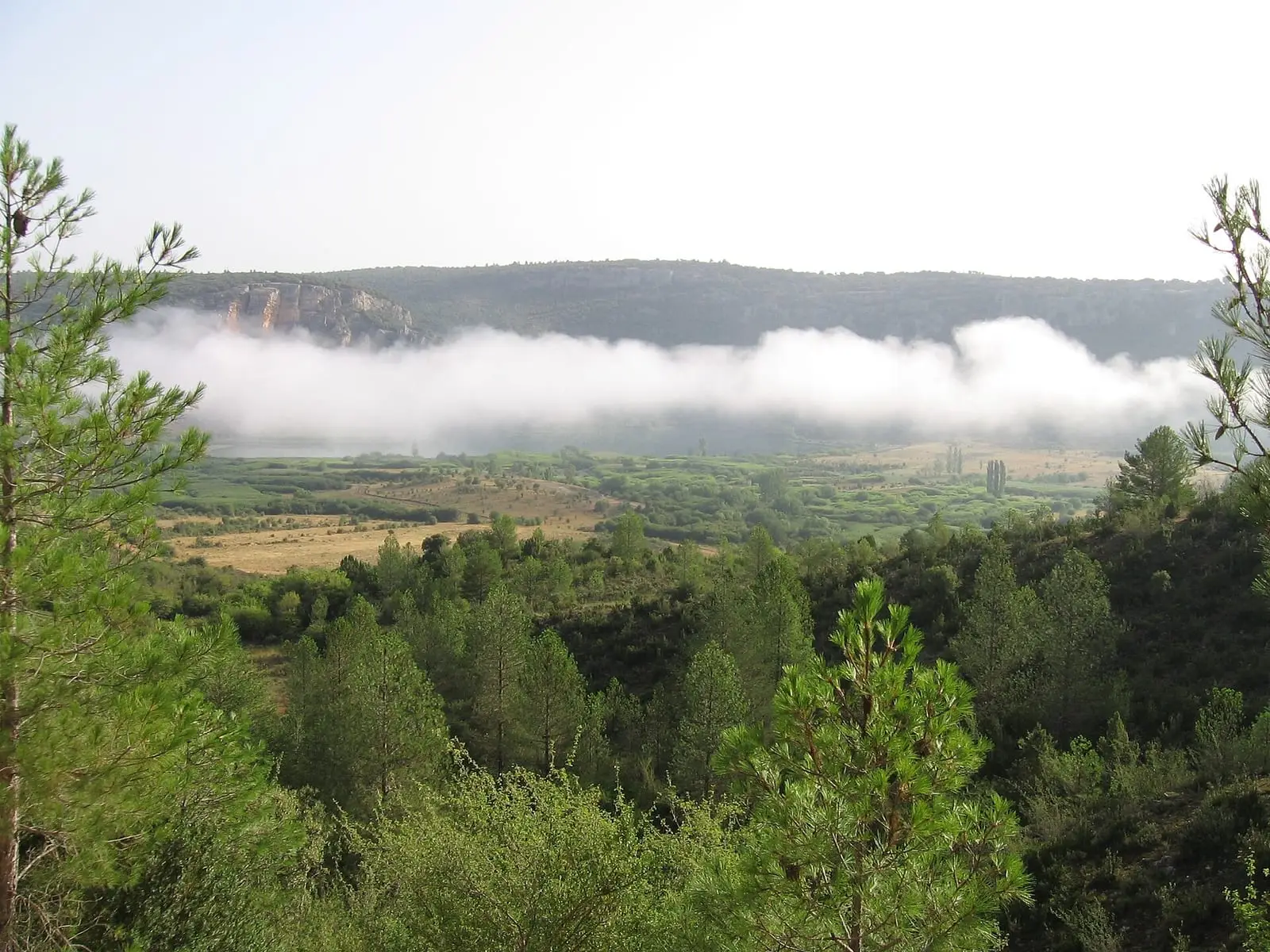
Lagunas de El Tobar
Beteta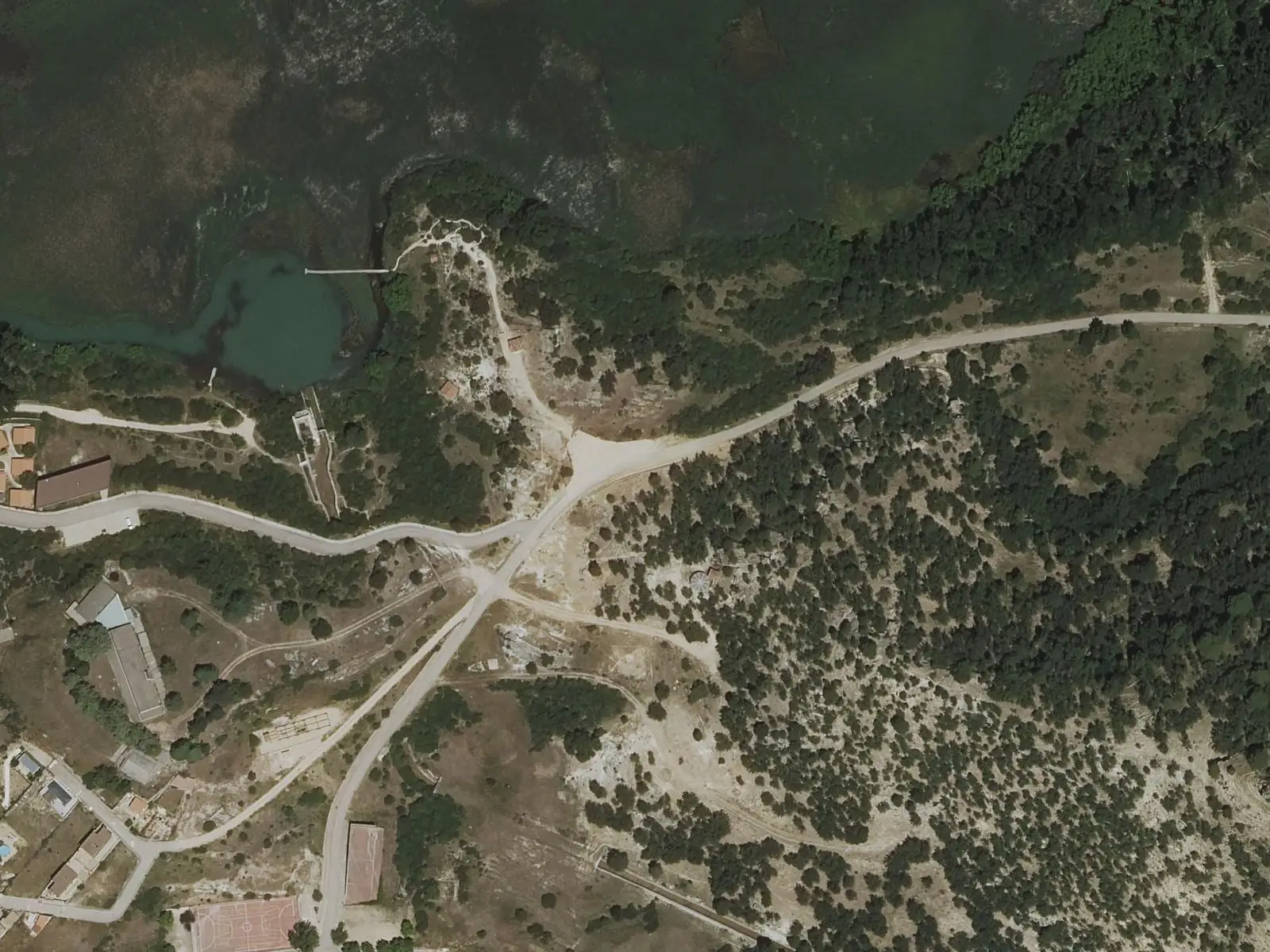
Laguna de Uña viewpoint
Uña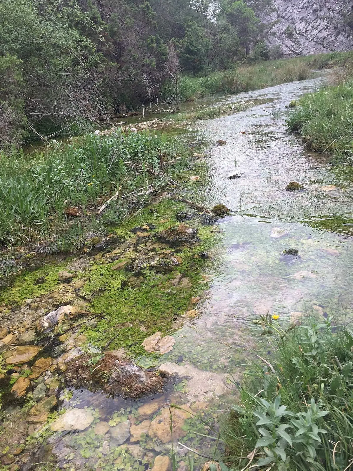
Source of the River Júcar
Tragacete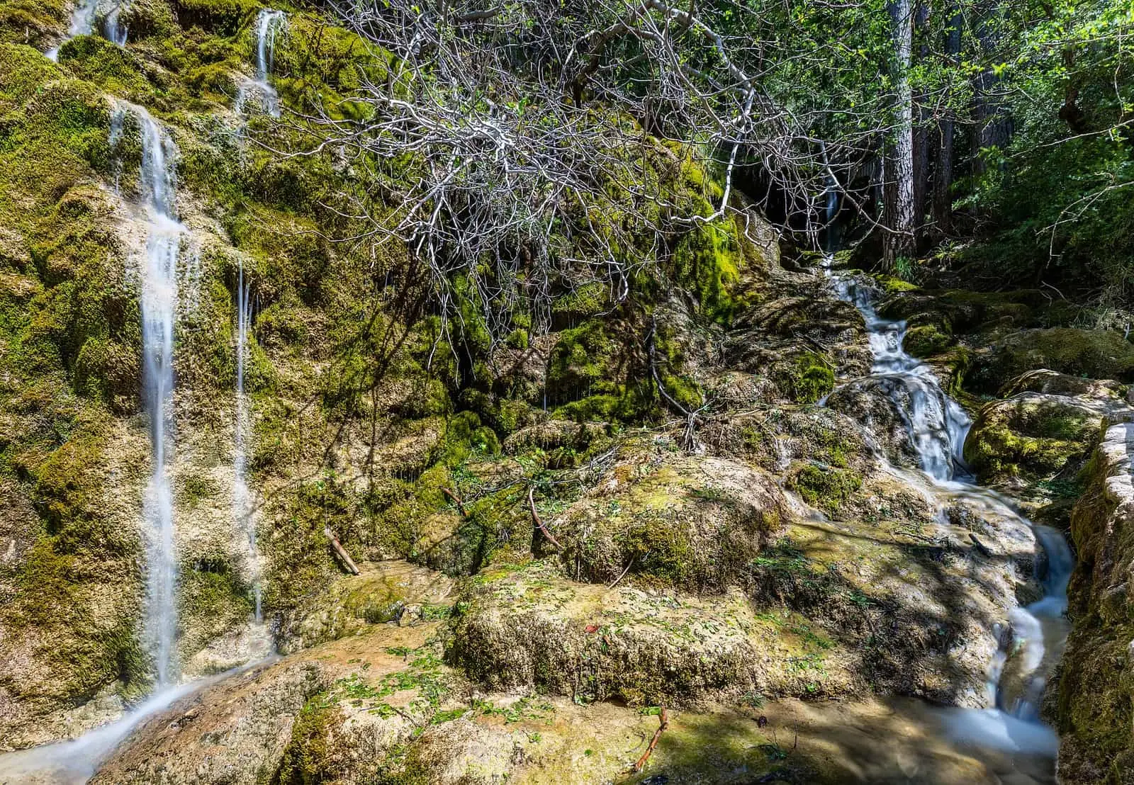
Nacimiento del río Cuervo Natural Monument
Vega del Codorno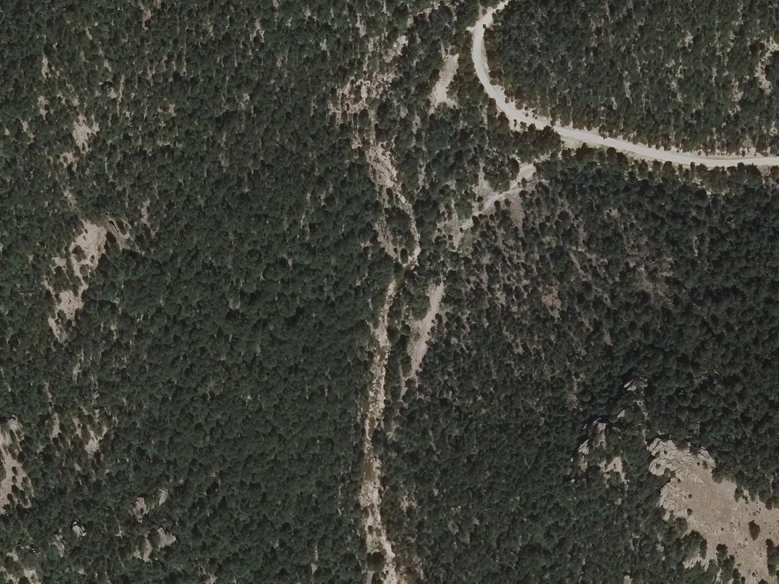
River Guadazaón
Valdemoro-Sierra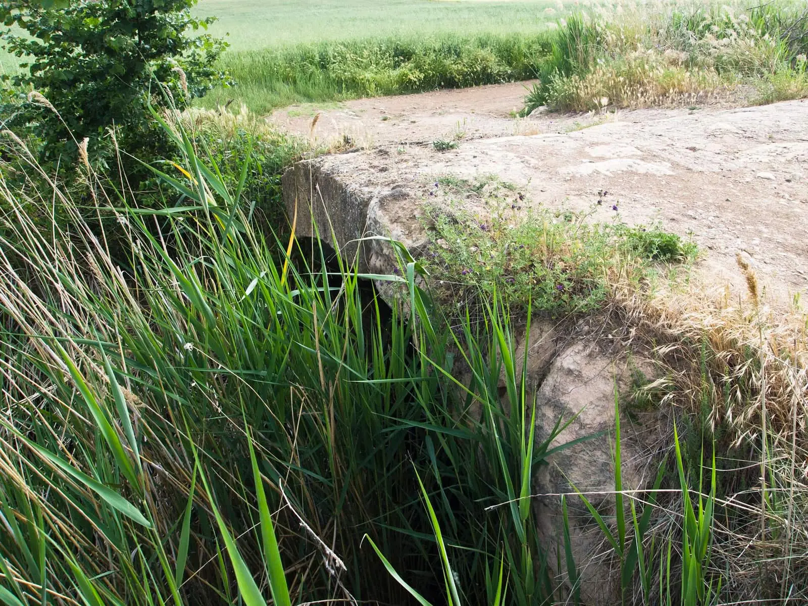
River Moscas
Fuentes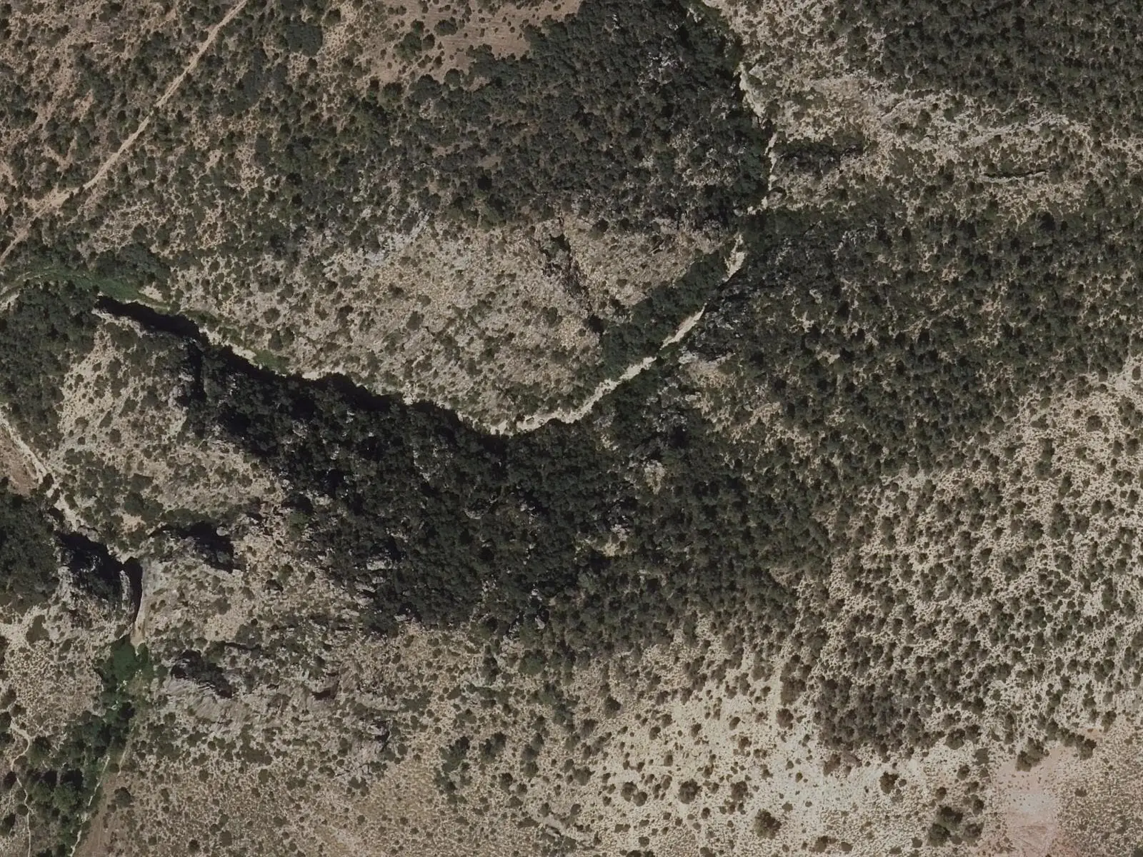
Gorge of the River San Martín (Víllora)
Víllora
River Valdecabras
Cuenca
Torcas de Lagunaseca
LagunasecaSprings of Boniches
BonichesMojón Triginio
Santa Cruz de MoyaFrequently asked questions
Where does the Cuervo rise?
In Vega del Codorno, in a cleft in the rock at the end of a 300 m tufa barrier, reached by the SL-CU 14 local trail.