Village · Cuenca
Cañada del Hoyo
Cañada del Hoyo is a village in the Serranía Baja (lower Serranía) of Cuenca, beside seven lakes and dozens of torcas forming the Lagunas de Cañada del Hoyo Natural Monument. It had 1,149 inhabitants in 1950 and 226 in 2021. Its privately owned Castillo del Buen Suceso overlooks the village, and three official trails start here.
On this page 10 sections
A village below the castle, beside a field of hollows
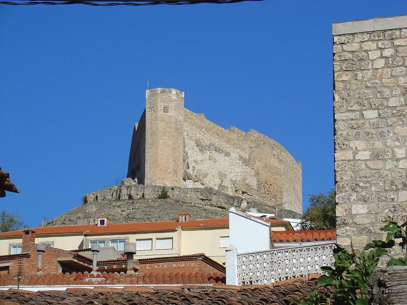
Cañada del Hoyo lies in the Serranía Baja, in a small Guadazaón river plain below Cerro del Buen Suceso. It has the church of Nuestra Señora de las Nieves, the Ermita del Hoyo and cobbled streets once used by livestock. Above stands the privately owned Castillo del Buen Suceso, once a watchtower on the frontier between Castile and Valencia; it retains its wall, keep and an octagonal tower.
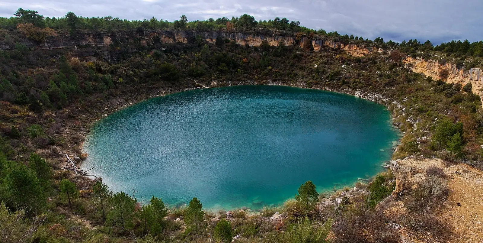
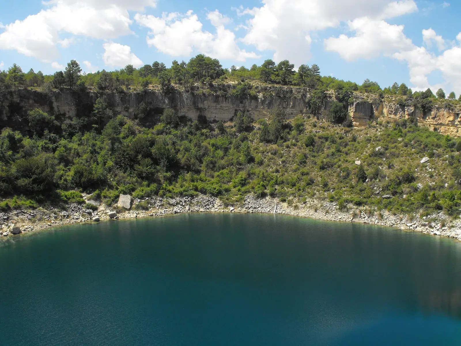
Very close are the Cañada del Hoyo lakes: lakes and torcas, round collapse sinkholes in limestone, forming a 280-hectare Natural Monument designated in 2007. Seven hold water permanently; the rest are dry torcas.
What the lakes tell
The bottom of Laguna de la Parra holds 1,600 years of history. It filled around the 4th and 5th centuries, was shallow in the medieval warmth and deeper in the Little Ice Age. Its sediments also record people: transhumance, land clearance, burning for pasture. Since 1950 much less soil has reached the lake, most probably because fields were abandoned. It is the same departure told in Depopulation.
Art at the station
Since 2018 the old railway station, about two kilometres from the village among pine forest and farmland, has housed Kárstica, an artists’ residency run by La Neomudéjar. Four artists were working there in summer 2022. María Gray made El portal de las ancestras with objects donated by the families of women born and deceased in Cañada del Hoyo, such as a scythe, lambskin, textiles, a ladle or horns; she donated it to the village and placed it in Parque Viejo. Sandra Julve was recording villagers speaking about torcas and lakes for a sound work; Alfonso Nogueroles was filming seven nearby landscapes that eventually merge with the seven lakes, and Irina Wainstein was preparing an action using red thread, stones and local earth. In the early years there was little contact with the village; later came contributions from women donating objects and help from a local young man with shopping, journeys and paths.
Routes
- PR-CU 83 (short-distance trail), Sendero de las Lagunas: 4 km out and back to Laguna del Tejo.
- PR-CU 87, Cañada Real de los Chorros: 9.7 km along the old royal road of Las Zomas, Puente Molina and the resting place for flocks at the Fuentes del Milano.
- PR-CU 88, Colada del Barranco de la Palancosa: 10.8 km from the castle along the track linking the lakes with the Torcas de los Palancares.
Plan your visit
Start with the PR-CU 83, which is short. On the road to the lakes is the Las Hoyas exhibition centre, the Concavenator centre, currently listed as closed.
Before you travel
The torcas have unstable edges and walls: do not leave the signposted paths, approach the edge or throw anything in. This is a protected area, not a place for bathing.
Combine with
The Torcas de los Palancares lie to the north along the PR-CU 88 track. Reíllo is about 7.6 km away as the crow flies.
Frequently asked questions
What are the lakes of Cañada del Hoyo?
Karst depressions in Late Cretaceous limestones, formed by dissolution and collapse. The IGME counts seven permanent lakes and four torcas; a 2020 study delineates seven lakes and 21 dry torcas. They have been a Natural Monument since 2007 (Decree 18/2007).
Which trails start from Cañada del Hoyo?
Three short-distance trails: PR-CU 83 Sendero de las Lagunas (4 km), PR-CU 87 Cañada Real de los Chorros (9.7 km) and PR-CU 88 Colada del Barranco de la Palancosa (10.8 km).
Can the castle be visited?
The Castillo del Buen Suceso is privately owned. Its wall and keep survive and it can be seen from the village and the PR-CU 88.
Carry on from here
The rivers, zones, eras, places and official routes that the atlas links with Cañada del Hoyo.
Lands and landscapes
From here, follow the memory of the land
These readings connect Cañada del Hoyo with the stories, the work and the villages around it.
Traces in the village and around it
Which eras you can read here
A single place can keep traces of several periods. These layers connect what you see with the atlas's stories.
Places in the municipality and around it
Official routes
Near Cañada del Hoyo

Las Hoyas
La Cierva
Beamud viewpoint
Beamud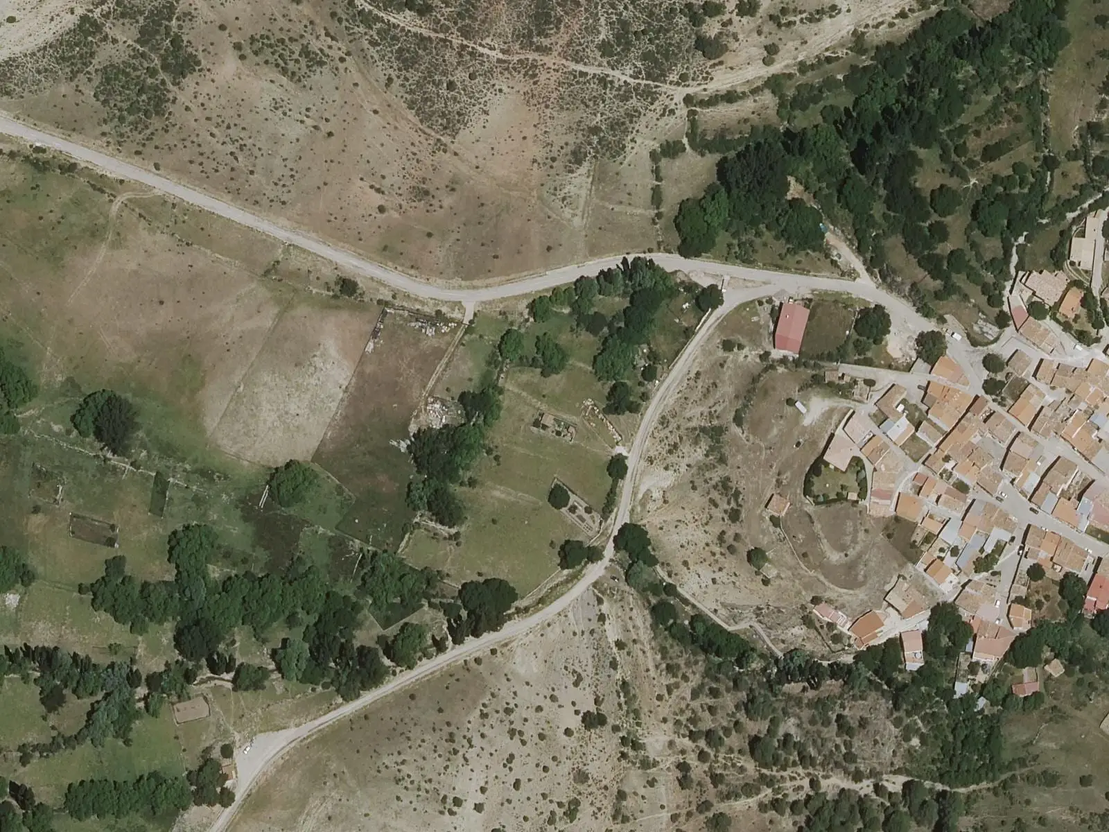
Fuente de los Pastores picnic area
BeamudSee 5 more
Fuente del Arenazo picnic area
Cuenca
Fuente del Royo picnic area
Huerta del Marquesado
Prao de San Roque picnic area
Huerta del Marquesado
Fuente de la Ardilla picnic area
ValdemecaPaisaje Ilustrado of Huerta del Marquesado
Huerta del MarquesadoPopulation of Cañada del Hoyo, 1842–2021
Cañada del Hoyo reached 1,149 inhabitants in 1950. The 2021 census counted 226, 80 % fewer. It is the story told in the emptying.
Climate in Cañada del Hoyo month by month
Averages for the ten years from 2015 to 2024 from the ERA5 reanalysis (Copernicus), for a grid cell with a reference altitude of 1023 m. They are model estimates, not measurements from a local station or thirty-year climate normals.
Source: Copernicus ERA5 via Open-Meteo, CC BY 4.0. Retrieved: 2026-10-09.
Location
● Reference point · ● Villages · ● Places · ━ Routes nearby
Location sketch. The map with paths and names loads as you scroll to it.
Approximate position: village centre.
Reference villages: Reíllo · Pajarón · La Cierva · Fuentes.
Open the full map and its historical layers →Where the data on this page come from
- Location
- IGN: Nomenclátor Geográfico Básico de España, capital de municipio (CC BY 4.0) source consulted, 9 October 2026
«Source consulted»: the primary source has been read. «Reference located»: the source has been identified but not yet read. «Open question»: the figure needs confirmation.
More about Cañada del Hoyo, told from the village: Cañada del Hoyo Town Council website.