Viewpoint · Cardenete
La Morrita viewpoint
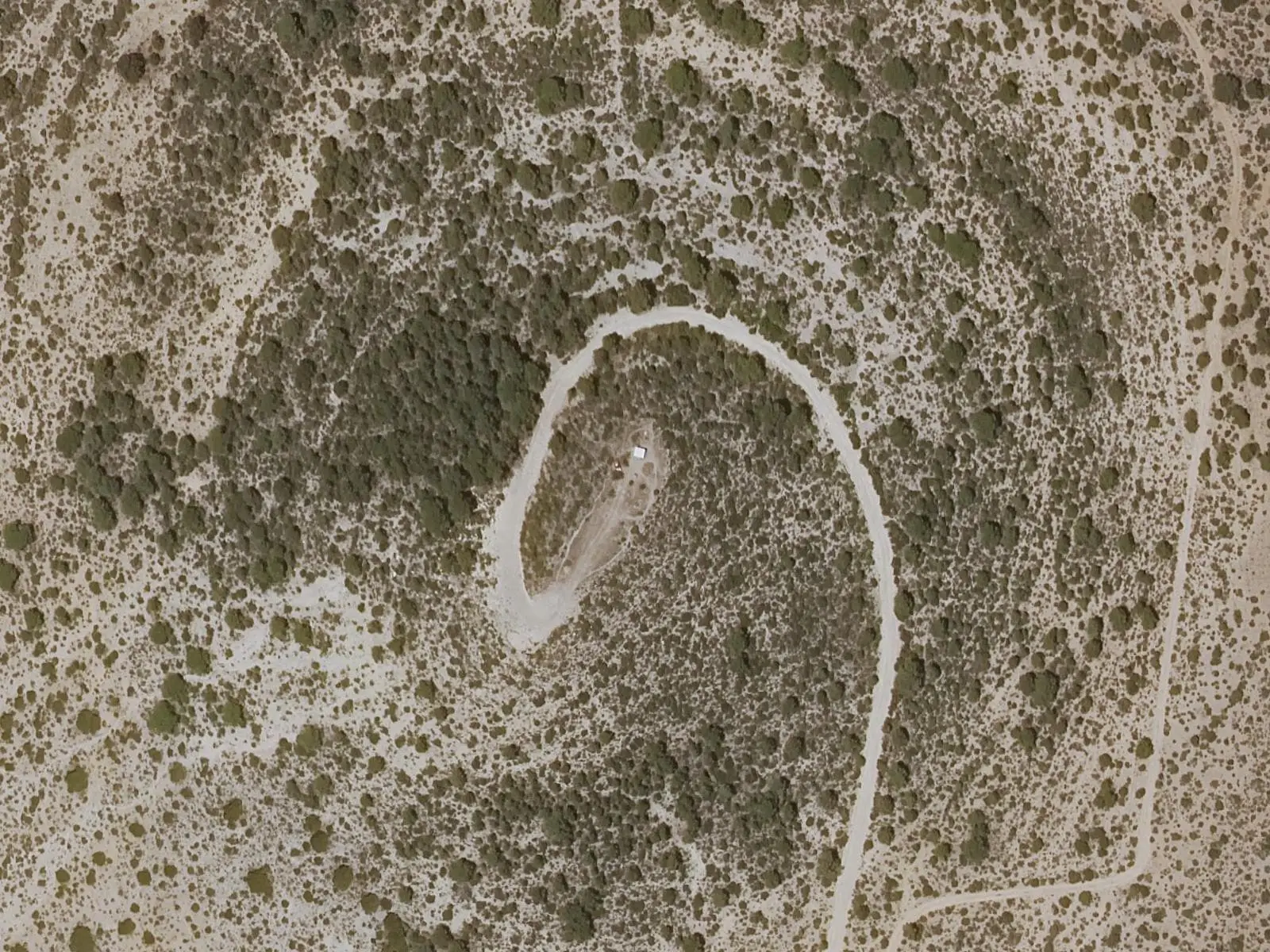
La Morrita is the highest point in the municipality of Cardenete and its most visited viewpoint, overlooking much of the surrounding area. Cardenete has other lookouts over the Cabriel, including Cañadilla Martín and Las Fuentes above the river's bends, and La Toba.
- Municipality
- Cardenete
- Viewpoint
- Cardenete
- Cabriel
- La Morrita
La Morrita is the highest point in the municipality of Cardenete and a visit considered essential by the town council: much of the surrounding area can be seen from the top. It is not the only lookout. The Cañadilla Martín and Las Fuentes viewpoints overlook the Cabriel winding below, and there is another at La Toba.
Plan your visit
Combine with
Cardenete castle, the hermitage of San Antonio and the Museo Micológico.
Frequently asked questions
What other viewpoints does Cardenete have?
Cañadilla Martín and Las Fuentes, above the Cabriel's meanders, and La Toba.
Carry on from here
Lands and landscapes
From here, follow the memory of the land
These readings connect La Morrita viewpoint with the stories, the work and the villages around it.
Where it is
Where the data on this page come from
- Name
- Ayuntamiento de Cardenete source consulted, 4 October 2026
- Municipality (INE code)
- Ayuntamiento de Cardenete source consulted, 4 October 2026
«Source consulted»: the primary source has been read. «Reference located»: the source has been identified but not yet read. «Open question»: the figure needs confirmation.