Heritage · Villar del Humo
Abrigo de Fuente de Selva Pascuala
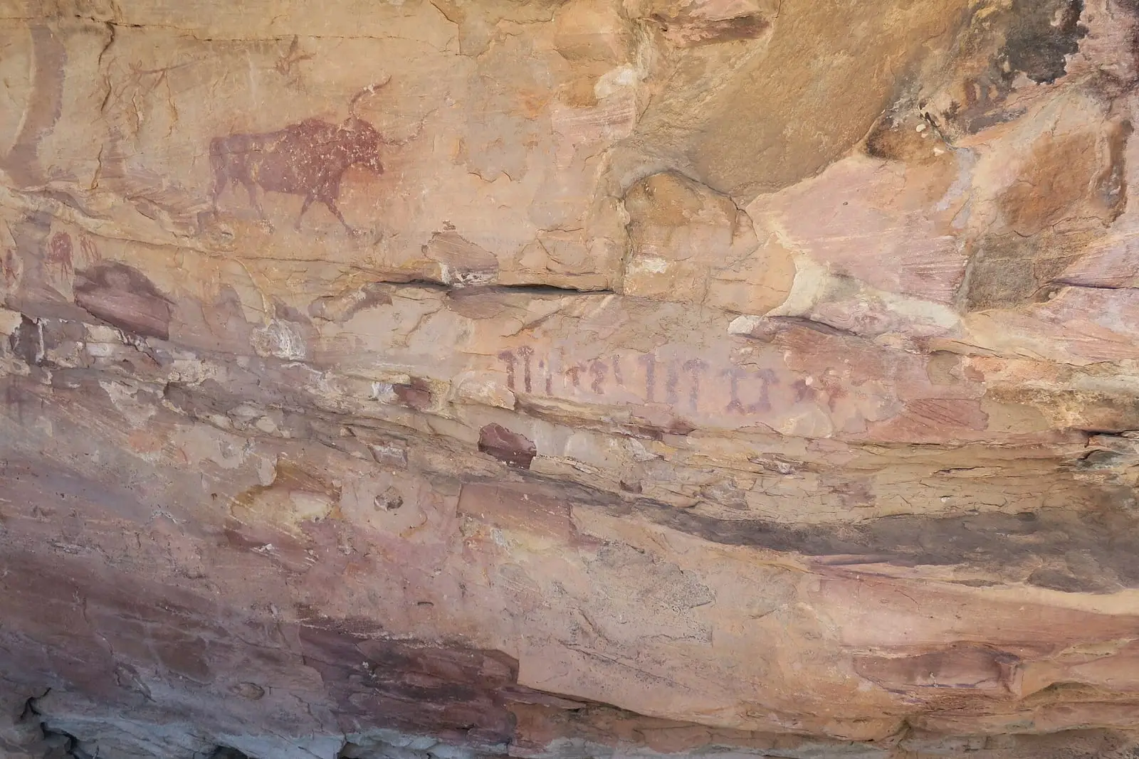
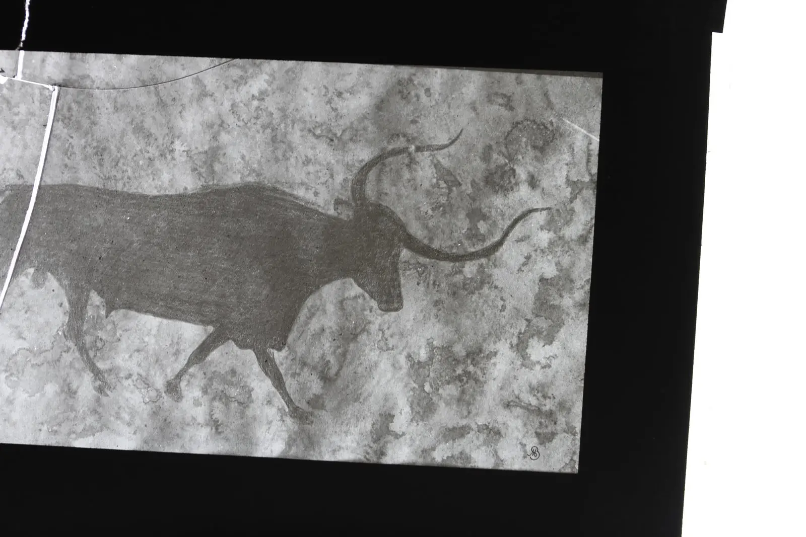
Selva Pascuala rock shelter lies in the upper part of the Rambla del Anear, in the Callejones de Potencio, facing south. It has two panels; the principal subject appears to be a large bovine. Around 300 m away, Fuente de Selva Pascuala shelter preserves a solar image with rays ending in four-fingered hands.
- Municipality
- Villar del Humo
- Rock art
- Selva Pascuala
- Solar image
- Villar del Humo
A very open rock shelter
Selva Pascuala lies at the head of the Rambla del Anear, in the Callejones de Potencio, facing south towards an open area of around 500 m². It has two panels.
The first, larger panel mixes styles. Schematic figures predominate, painted around older Levantine ones, and a large bovine seems to dominate the centre, although its relationship with the rest is unclear. The second has naturalistic figures that do not follow Levantine conventions: four animals, three of them horses, one beside a human figure, and vertical bars.
The sun of the four hands
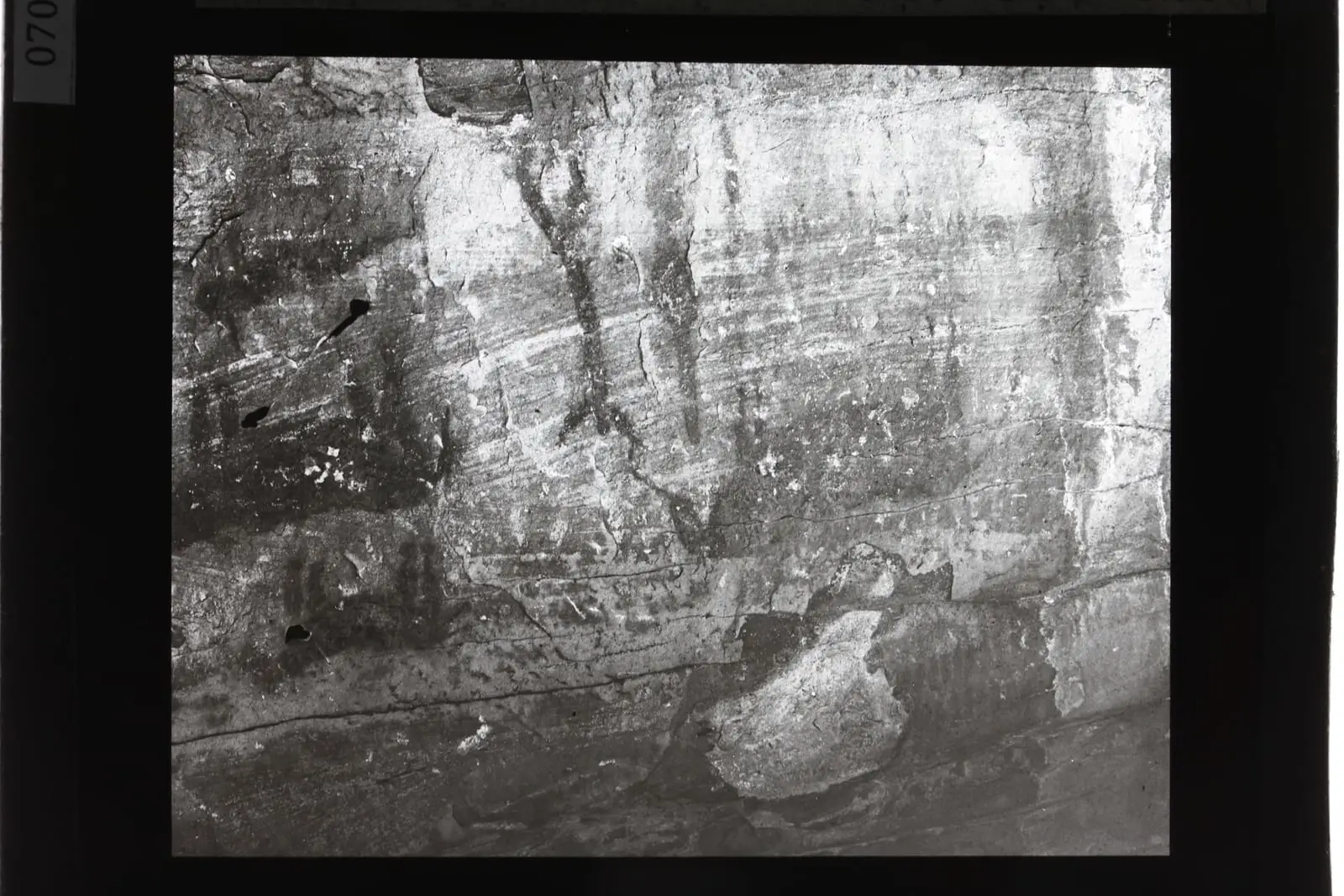
Around 300 metres away, the Fuente de Selva Pascuala shelter holds a sun with rays ending in four-fingered hands, linked to solar cults of the first farmers. Nearby is another very faded painting, perhaps another hand or another sun.
Plan your visit
Before you travel
The paintings are fragile: do not touch or wet them.
Combine with
It forms part of the Villar del Humo group, alongside Peña del Escrito and Marmalo.
From the archive
Frequently asked questions
What is in panel 1?
Figures in different styles, mostly schematic, arranged around Levantine figures that must have preceded them; the principal subject appears to be a large bovine.
What is the solar image?
A sun with rays ending in four-fingered hands, linked by the Ministry to agrarian solar cults.
Carry on from here
Lands and landscapes
From here, follow the memory of the land
These readings connect Abrigo de Fuente de Selva Pascuala with the stories, the work and the villages around it.
Where it is
Where the data on this page come from
- Name
- Ministerio de Cultura · ARAMPI source consulted, 5 October 2026
- Municipality (INE code)
- Ministerio de Cultura · ARAMPI source consulted, 5 October 2026
«Source consulted»: the primary source has been read. «Reference located»: the source has been identified but not yet read. «Open question»: the figure needs confirmation.