Village · Cuenca
Villar del Humo
Villar del Humo is a village in Serranía Baja (lower Serranía), beside the Vencherque river, with one of the province's most important rock-art groups: Peña del Escrito, Marmalo and Selva Pascuala, part of the Mediterranean Basin rock art designated by UNESCO in 1998. It reached 1,506 inhabitants in 1950 and had 178 in 2021.
On this page 13 sections
A village among sandstone ravines
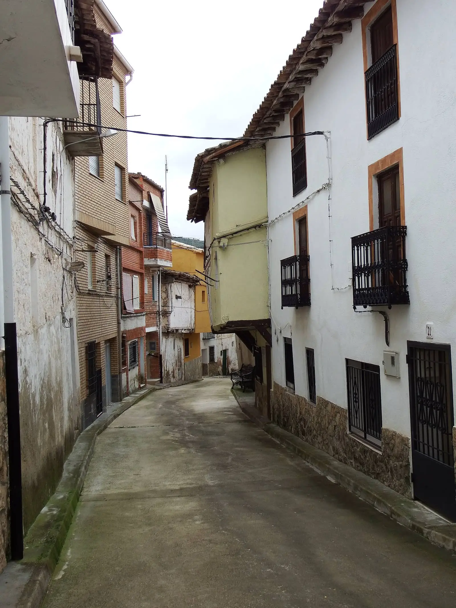
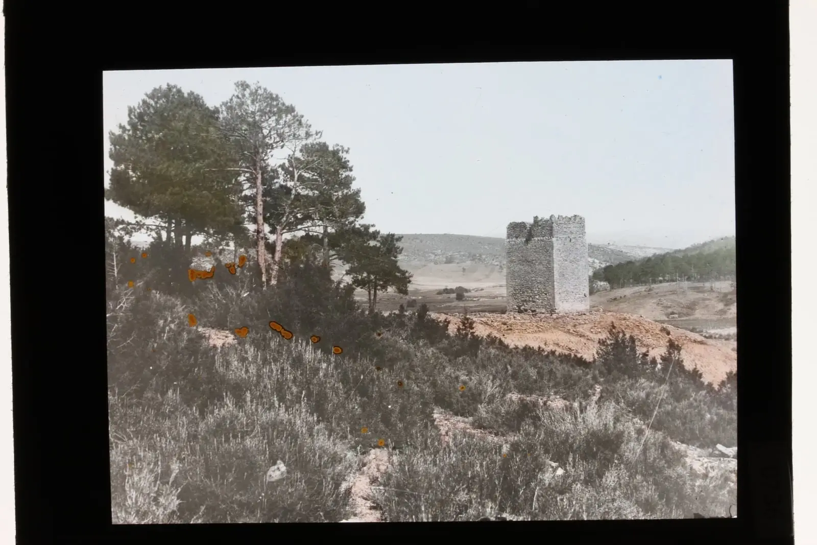
Villar del Humo lies in Serranía Baja (lower Serranía), beside the Vencherque river, among hills and ravines within the Valle del Cabriel Biosphere Reserve. The Vencherque rises in neighbouring San Martín de Boniches, irrigates the village’s narrow valley fields and joins the Cabriel a few kilometres later. The red sandstones of Sierra de las Cuerdas form gorges and towers such as Torre Balbina, a natural viewpoint. The village dates from medieval resettlement, but the mountains were inhabited in prehistory.
Paintings thousands of years old
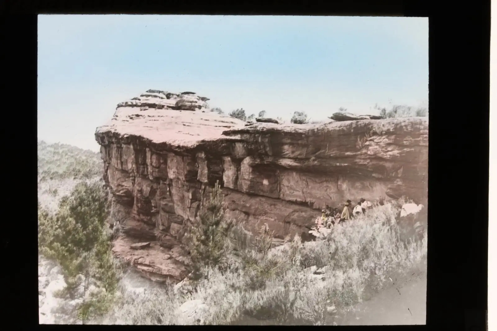
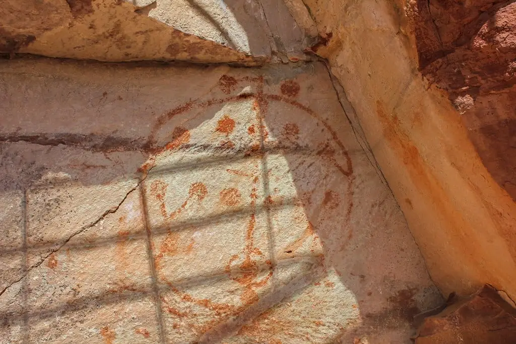
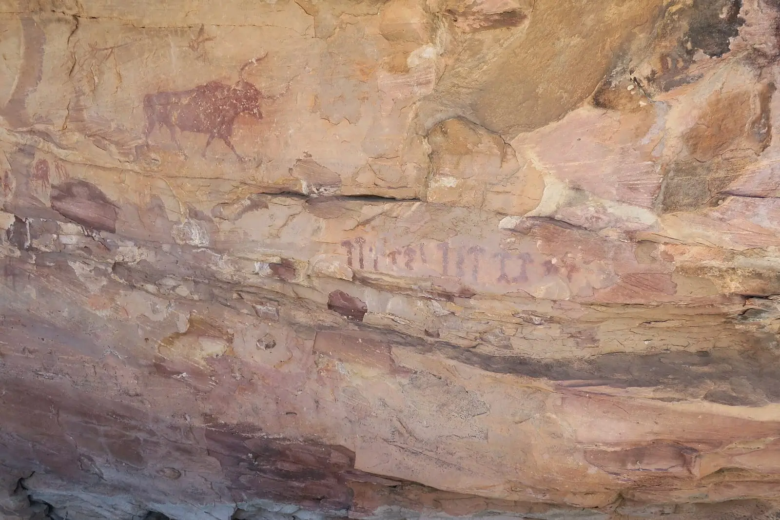
The sandstones contain 31 sites with Levantine and schematic rock paintings, between 8,000 and 3,500 years old. They form part of the Mediterranean Basin rock art, a World Heritage property since 1998, and are described together in the Villar del Humo rock-art shelters.
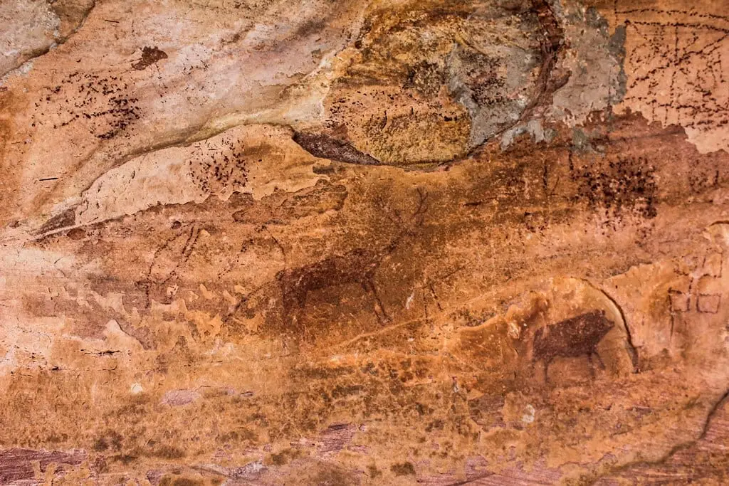
- Peña del Escrito, 7 km from the village, contains 170 figures in three hollows: goats, deer, bulls, wild boar and a hind with an arrow lodged in its back.
- Marmalo, in a small valley among sandstones, has five sites, ranging from a lone bovid to panels of dots and bars.
- Selva Pascuala, in the Anear ravine, is an open shelter with a large bovid; 300 metres away, another shelter holds a sun with rays ending in hands.
The Sierra de las Cuerdas Interpretation Centre explains the group before visits to the shelters.
Conscripts, Judas figures and May songs
A 2024 radio portrait says the village has also been called Villar de Lobos, de los Ladrones and del Oro, without explaining the names’ origins. It recounts the painting discoveries: Peña del Escrito in 1917, Castellón de los Machos in 1968, discovered by schoolchildren with their teacher, and Peña del Castellar in 1979; also a find of over a thousand coins at Peña del Castellar, reportedly in the Cuenca Museum, and graves at El Cagigar attributed to Islamic times by their orientation. Confirming studies are missing, and its count of twelve shelters differs from the 31 sites in official sources.
At Easter the quintos, young men turning eighteen, care for the images, carry them on litters and prepare the judas, figures hung from balconies and beaten on Easter Sunday; the radio portrait does not make clear whether at dawn or at night. In May, unmarried and married people sing two mayos, May songs, one to the Virgin and one to the Cross: afterwards the singing is auctioned, and the highest bidder decides who will be sung to again.
Morteruelo
Villar del Humo is thought of as the birthplace of morteruelo, although no documents establish where the dish originated. The mayor explained in 2024 that the recipe passes from older to younger people and that the version the village regards as traditional contains only pig’s liver, pork belly, bread and spices, unlike those adding farmyard or wild meat; some innovate and others preserve it. In August the village holds a competition, reaching its twenty-first edition in 2024: each entrant brings a casserole or pan to the school hall, decorated with earthenware water jugs, wineskins and clay cooking pots like an old kitchen, and a jury tastes them.
A 110-year-old resident on film
Filmmaker Rolando Díaz made Una elefanta sobre la tela de una araña with Quatre Films, a documentary about a Villar del Humo resident who was 110 in 2022. He met her through her granddaughter, the film’s producer, and filmed her from before her 105th birthday to age 109, with the pandemic intervening. She had lived through the war and lost three of her four children. In the film a Valencian actress, musician and painter talk with her, and the crew left a mural in the village as a gift.
Shepherds’ paths
Around 2018 a group of villagers founded the Amigos de los Senderos y Fuentes association to restore paths leading to gardens, livestock and woodland, in terrain inaccessible to carts. Its president, a shepherds’ son, sought them using memory and old photographs, and members cleared brush, pruned and removed stones until they were a metre wide. By 2021 they had restored a route of about twenty kilometres, over half of another of the four planned, and two rubble-stone fountains with their spouts; they wanted to link the repaired fountains to the paths. That year one of the initiators died, and villagers held a walk and put a plaque on one fountain. These paths are not approved trails.
Routes
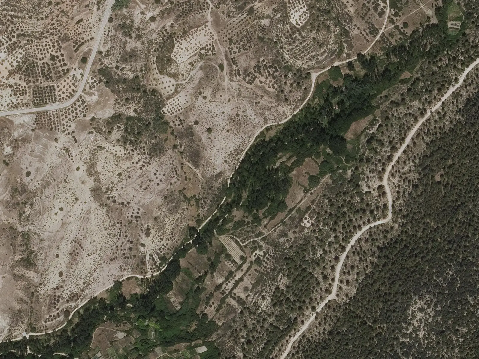
The SL-CU 7 (local trail), Paseo fluvial del río Vencherque, is a 3.2 km circuit: it follows the river upstream beneath riparian woodland, passes the Tía Chata and Pico springs and returns along the track.
Plan your visit
Allow a day for the shelters and a morning for the village and Vencherque.
Before you travel
Confirm shelter access and guided-tour availability at the Interpretation Centre. The paintings are exposed and fragile: view them from the points marked by panels, without touching, wetting or tracing them.
Combine with
San Martín de Boniches is 4.9 km away in a straight line; Henarejos, Pajaroncillo and Cardenete about 12 km.
From the archive
Frequently asked questions
What rock art does Villar del Humo have?
Sandstone shelters with Levantine paintings of animals and naturalistic scenes, and schematic paintings of dots, bars and abstract figures. The regional Culture department attributes 31 sites to the group and an approximate age of 8,000 to 3,500 years; Castilla-La Mancha Tourism dates them between the Mesolithic and Neolithic.
What is Peña del Escrito?
The richest shelter in the group: 170 figures in three sandstone hollows, 7 km north-west of the village. They include a hind with a spear or arrow lodged in its back and, at Peña del Escrito II, 138 figures in two sectors, one Levantine and one schematic, according to the Ministry of Culture.
Is it World Heritage?
The shelters form part of the serial property «Arte rupestre del arco mediterráneo en la península ibérica» (Rock Art of the Mediterranean Basin on the Iberian Peninsula), inscribed by UNESCO in 1998. The 1985 historic heritage law also designates places with rock art as Bienes de Interés Cultural, protected cultural assets.
Carry on from here
The rivers, zones, eras, places and official routes that the atlas links with Villar del Humo.
Lands and landscapes
From here, follow the memory of the land
These readings connect Villar del Humo with the stories, the work and the villages around it.
Traces in the village and around it
Which eras you can read here
A single place can keep traces of several periods. These layers connect what you see with the atlas's stories.
Places in the municipality and around it
Official routes
Near Villar del Humo

Las Hoyas
La Cierva
Fuente del Royo picnic area
Huerta del Marquesado
Prao de San Roque picnic area
Huerta del MarquesadoSee 5 more
Paisaje Ilustrado of Huerta del Marquesado
Huerta del Marquesado
Fuente de la Ardilla picnic area
Valdemeca
Beamud viewpoint
Beamud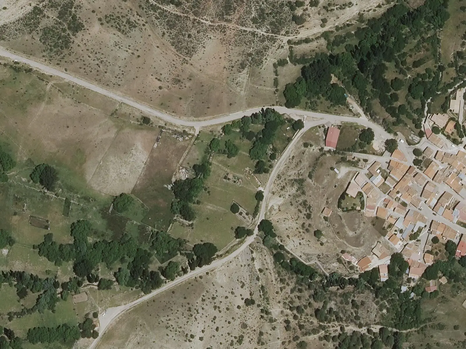
Fuente de los Pastores picnic area
Beamud
Valdemeca Visitor Reception Centre
ValdemecaPopulation of Villar del Humo, 1842–2021
Villar del Humo reached 1,506 inhabitants in 1950. The 2021 census counted 178, 88 % fewer. It is the story told in the emptying.
Location
● Reference point · ● Villages · ● Places · ━ Routes nearby
Location sketch. The map with paths and names loads as you scroll to it.
Approximate position: village centre.
Reference villages: San Martín de Boniches · Henarejos · Pajaroncillo · Cardenete.
Open the full map and its historical layers →Where the data on this page come from
- Location
- IGN: Nomenclátor Geográfico Básico de España, capital de municipio (CC BY 4.0) source consulted, 9 October 2026
- Municipality (INE code)
- Turismo Castilla-La Mancha source consulted, 4 October 2026
- Name
- Turismo Castilla-La Mancha source consulted, 4 October 2026
«Source consulted»: the primary source has been read. «Reference located»: the source has been identified but not yet read. «Open question»: the figure needs confirmation.