Torca · Valsalobre
Sima de Juan Herranz I
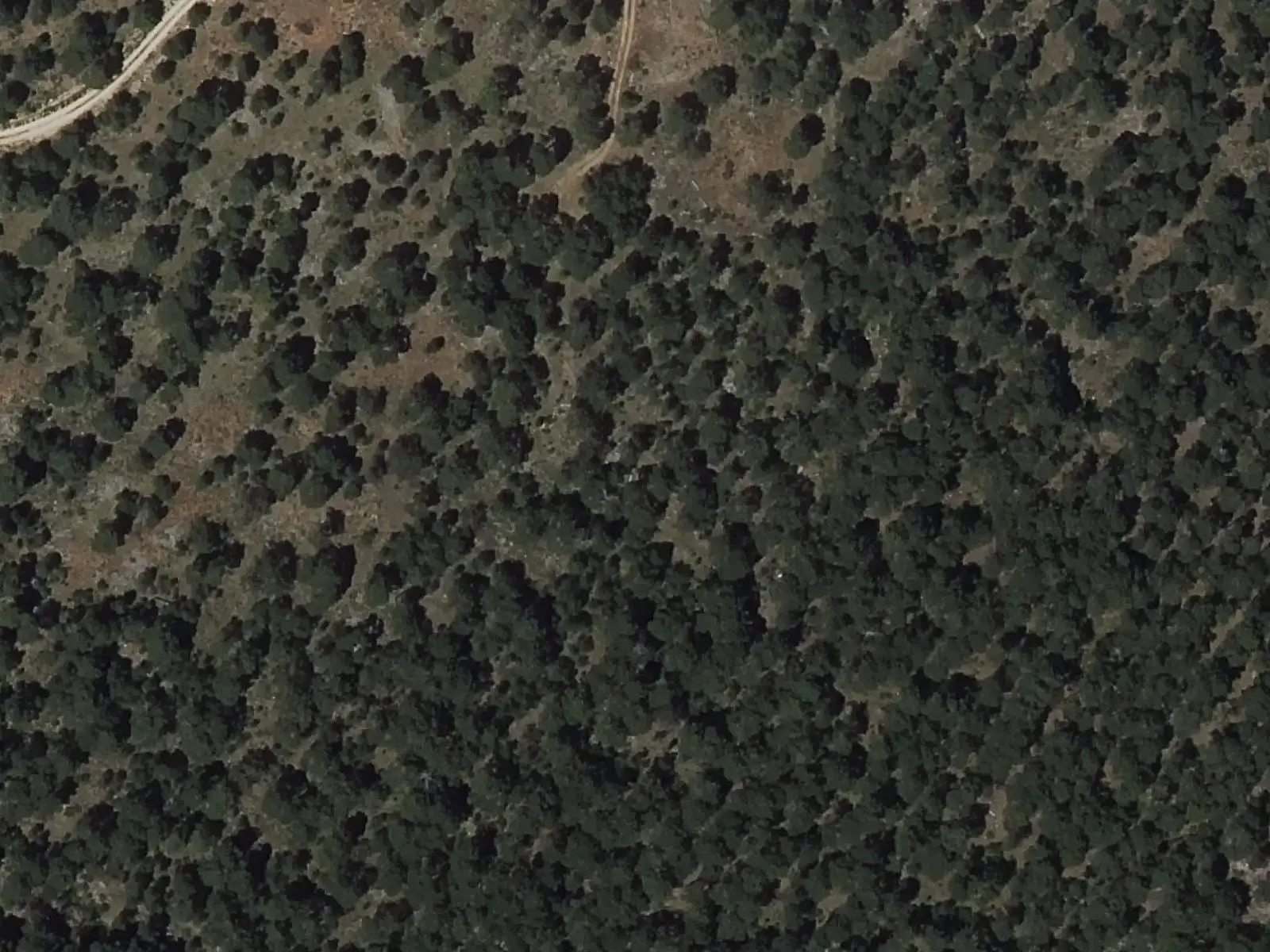
Sima de Juan Herranz I lies in La Serrezuela, in the municipality of Valsalobre, within the Serrezuela de Valsalobre Natural Monument, designated in 2003. The Geological and Mining Institute lists it as a Site of Geological Interest for its karst in carbonate rocks: it is one of the area's swallow holes.
- Municipality
- Valsalobre
- Pothole
- Valsalobre
- Serrezuela
- Karst
- Site of Geological Interest
In La Serrezuela, above Valsalobre, water has riddled the limestone with holes. Sima de Juan Herranz I is one of these openings: the Geological and Mining Institute includes it in its inventory of Sites of Geological Interest as an example of karst in carbonate rocks. It lies within the Serrezuela de Valsalobre Natural Monument, protected by Decree 76/2003.
Plan your visit
Do not approach the opening: it is a vertical drop. To understand the area, see the Natural Monument entry and the village, with its saltworks.
Frequently asked questions
Can you descend?
Not without equipment and permission: it is a vertical cavity in a protected area, where caving requires authorisation.
Carry on from here
Lands and landscapes
From here, follow the memory of the land
These readings connect Sima de Juan Herranz I with the stories, the work and the villages around it.
This place through time
Which eras you can read here
A single place can keep traces of several periods. These layers connect what you see with the atlas's stories.
Where it is
Where the data on this page come from
- Name
- Municipality (INE code)
«Source consulted»: the primary source has been read. «Reference located»: the source has been identified but not yet read. «Open question»: the figure needs confirmation.