Village · Cuenca
Valsalobre
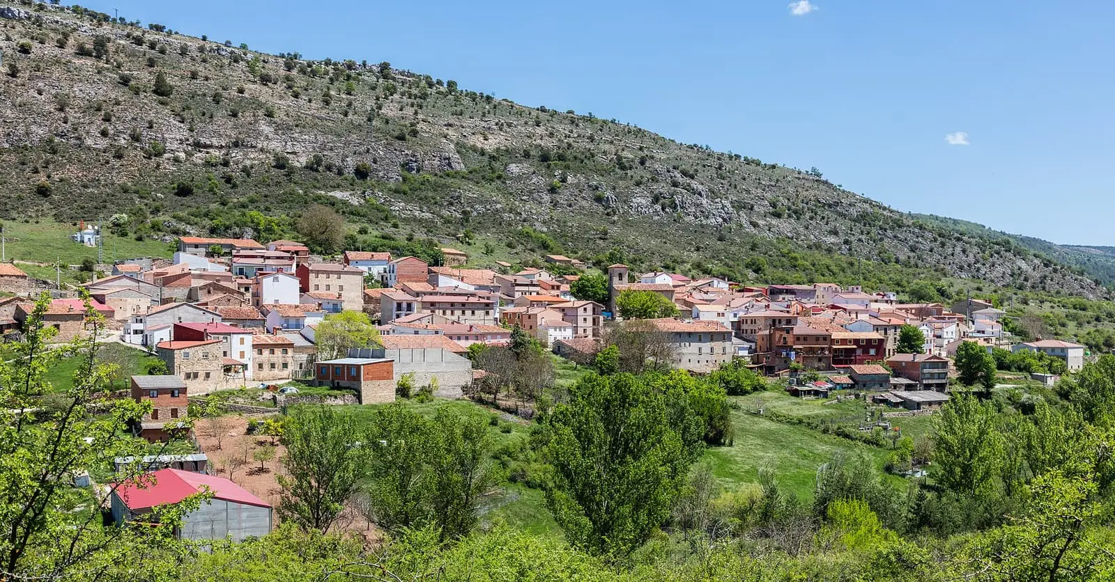
Valsalobre is a village in Serranía Alta (upper Serranía), with 21 inhabitants in the 2021 census compared with its peak of 334 in 1910 and 1930. Its municipality contains the Serrezuela de Valsalobre Natural Monument. Residents recall saltworks that closed in 1982, a pasture for mules and cattle, and May and conscript festivities.
On this page 8 sections
A village in Serranía Alta
Valsalobre lies in Serranía Alta (upper Serranía), near Beteta. It has two neighbourhoods, El Solano to the north and El Muladar to the south, and its patron is Santiago. Its municipality contains the Serrezuela de Valsalobre, a natural monument since 2003.
What trades and memory tell
Valsalobre’s memory comes from conversations Vestal Etnografía recorded with residents. Each subject has its own story:
- The saltworks of Valsalobre: salt from a well, sold to district livestock keepers until 1982.
- The communal pasture and livestock: cattle and mules on the pasture, the mule keeper and flocks wintering in Andalucía.
- The woodland provides a living: resin, firewood allocated by lot, lavender and asphodels.
- May songs, conscripts and dancing: festivities, dancing in El Solano and the Judas pine.
- Bread, water, laundry and pig slaughter: the post-war home.
- When the telephone, electricity and running water arrived: school, the road and people leaving.
One resident remembers around five hundred inhabitants and eighty to a hundred occupied houses; the censuses never exceed 334.
In April 2022 a marteloscope was presented in the Dehesa Boyal: a hectare of woodland with every tree numbered, located and measured, including black pines, Scots pines and centuries-old Portuguese oaks. It teaches tree marking for felling. Software simulates which trees would be cut and the value of their timber and the cavities and bark used by animals, without touching any.
Saltworks that prayed for the king
Valsalobre’s salt has written records from the 13th century in Cuenca cathedral’s archive. On 21 December 1264, Bishop Pedro Lorenzo endowed the maitinada, the canons’ Matins prayers, with saltworks income so that Alfonso X’s soul would be prayed for. In 1328 the chapter exchanged its holdings in the Valsalobre saltworks with García Álvarez de Albornoz and his wife Teresa Gómez for a four-aranzada vineyard in Arquillos, a village of Cuenca. In 1366 the canons again claimed them from the Crown among their privileges, and in 1469 the diocese’s saltworks, Valsalobre among them, passed to Rodrigo de Ulloa, chief accountant of Castile. Beside the saltworks remains a pool where salt is still visible.
Combine with
Beteta is 5 km away, and PR-CU 4 (short-distance trail) reaches the village on foot from Carrascosa through the pastures.
Frequently asked questions
Where is Valsalobre?
In Cuenca province, in Serranía Alta, with INE code 16234. Part of its municipality lies within the Serranía de Cuenca Special Area of Conservation and Special Protection Area, and it contains the Serrezuela de Valsalobre Natural Monument.
How many inhabitants does Valsalobre have?
21 in the 2021 census, according to the INE. The maximum in the series since 1842 was 334 inhabitants, in 1910 and 1930. There were 330 in 1960 and 65 in 1981.
What does oral memory tell about Valsalobre?
Residents recall saltworks with the last harvest in 1982, enclosed pasture for mules and cattle, five resin workers, lavender for the still, May songs and the Judas pine. All appear in the Memory section.
Carry on from here
The rivers, zones, eras, places and official routes that the atlas links with Valsalobre.
Lands and landscapes
From here, follow the memory of the land
These readings connect Valsalobre with the stories, the work and the villages around it.
Traces in the village and around it
Which eras you can read here
A single place can keep traces of several periods. These layers connect what you see with the atlas's stories.
Places in the municipality and around it
Near Valsalobre
Roman mine of Cueva del Hierro
Cueva del Hierro
Casa de la Pradera picnic area
Beteta
Fuente de los Tilos picnic area
BetetaSee 5 more
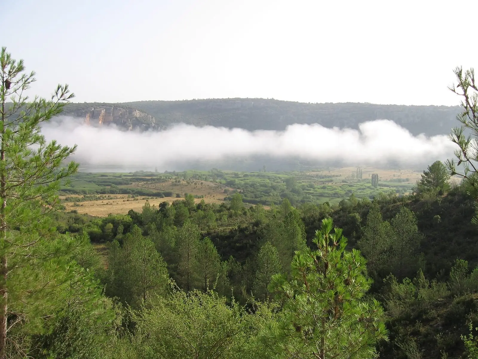
Lagunas de El Tobar
Beteta
Armentero viewpoint
Beteta
Peña del Águila viewpoint
Carrascosa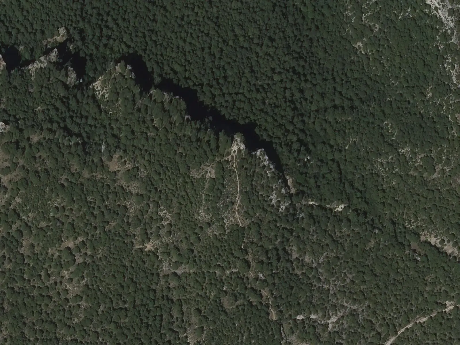
Tragavivos viewpoint
Cañizares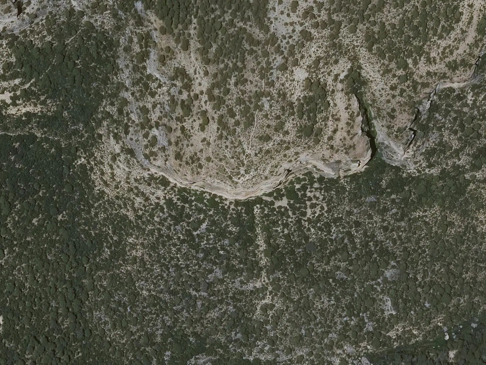
Cruz de Solán viewpoint
BetetaPopulation of Valsalobre, 1842–2021
Valsalobre reached 334 inhabitants in 1910. The 2021 census counted 21, 94 % fewer. It is the story told in the emptying.
Location
● Reference point · ● Villages · ● Places · ━ Routes nearby
Location sketch. The map with paths and names loads as you scroll to it.
Approximate position: village centre.
Reference villages: Beteta · Cueva del Hierro · Carrascosa · Masegosa.
Open the full map and its historical layers →Where the data on this page come from
- Location
- IGN: Nomenclátor Geográfico Básico de España, capital de municipio (CC BY 4.0) source consulted, 9 October 2026
«Source consulted»: the primary source has been read. «Reference located»: the source has been identified but not yet read. «Open question»: the figure needs confirmation.
altotajo.es, the sister atlas of the Alto Tajo, also has a page on Valsalobre.