Natural Monument
Serrezuela de Valsalobre Natural Monument
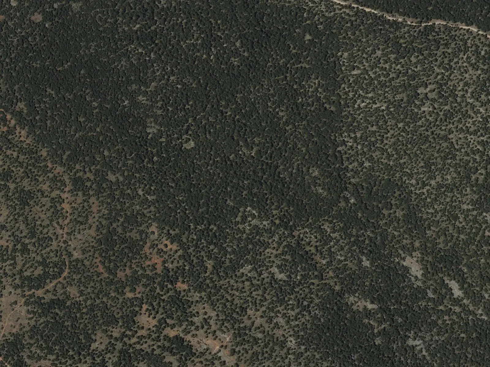
The Serrezuela de Valsalobre is a Natural Monument of 734.5 hectares in the municipality of Valsalobre, designated by Decree 76/2003. It is a limestone muela shaped by water, with large-scale karren, rock alleys and one of Spain's greatest concentrations of shafts and caves, according to Turismo de Castilla-La Mancha.
- Designation
- Natural Monument
- Legal basis
- Decreto 76/2003, de 13 de mayo
- Area
- 734.5 ha
- Municipalities
- 1
- Natural Monument
- Valsalobre
- Shafts
- Caves
- Karren
Living rock
The Serrezuela is in Valsalobre, one of the mountains’ smallest villages. It is a muela, a flat-topped limestone hill, carved by water over millennia. Inside is a network of caves and passages, some with running water and chambers with stalactites and stalagmites.
Above, at La Torreta and El Tormagal, the limestone opens into swallow holes, shafts and rock alleys, and guide Fernando Carreras maintains that few areas in Spain have so many vertical cavities, such as the Juan Herranz shafts. The pine forest is Scots pine, with barberry, hawthorn and juniper. In May and June the Spanish moon moth, a large green-toned moth, flies in it. The shafts are for cavers: keep away from their entrances.
A landscape with memory
Valsalobre has the mountains’ best-told oral memory: the saltworks, the dehesa or resin, firewood and lavender tell how people lived at the foot of these mountains.
Plan your visit
Before you travel
Do not explore caves without experience, equipment and permission: explore the Serrezuela along its paths.
Combine with
Beteta and the Hoz de Beteta.
Frequently asked questions
What is the Serrezuela de Valsalobre?
A raised platform or muela of limestone shaped by water, with shafts, passages, caves and landforms of large-scale karren, rock alleys and ruin-like forms.
Can it be visited?
Turismo de Castilla-La Mancha indicates free access from Cuenca along the CM-210 and the turn onto the CM-2101, in any season.
Carry on from here
Lands and landscapes
From here, follow the memory of the land
These readings connect Serrezuela de Valsalobre Natural Monument with the stories, the work and the villages around it.
Which municipalities it covers
Where the data on this page come from
- Name
- Junta de Castilla-La Mancha, Red de Áreas Protegidas: Monumento Natural Serrezuela de Valsalobre (ficha) source consulted, 5 October 2026
- Designation and legal basis
- Junta de Castilla-La Mancha, Red de Áreas Protegidas: Monumento Natural Serrezuela de Valsalobre (ficha) source consulted, 5 October 2026
«Source consulted»: the primary source has been read. «Reference located»: the source has been identified but not yet read. «Open question»: the figure needs confirmation.
altotajo.es, the sister atlas of the Alto Tajo, also has a page on Serrezuela de Valsalobre Natural Monument.