Route · Carrascosa
PR-CU 1: Sendero de la Hoz Somera y Los Castillejos
PR-CU 1, Sendero de la Hoz Somera y Los Castillejos, is a circular short-distance trail of 7.5 km and 187 m of elevation gain, of moderate difficulty, starting in Carrascosa. It enters dense pine forest, overlooks the Hoz Somera canyon, crosses the stream and climbs to Los Castillejos, where erosion has shaped the limestone.
- Code
- PR-CU 1
- Distance
- 7.5 km
- Elevation gain
- 187 m
- Layout
- Circular
- Difficulty
- Moderate
Walking time without travel or stops. Difficulty as graded by the official source. «Easy» does not mean accessible.
- PR-CU 1
- Hoz Somera
- Carrascosa
Where to start
In Carrascosa, through a treeless area soon entering the pine forest.
The route
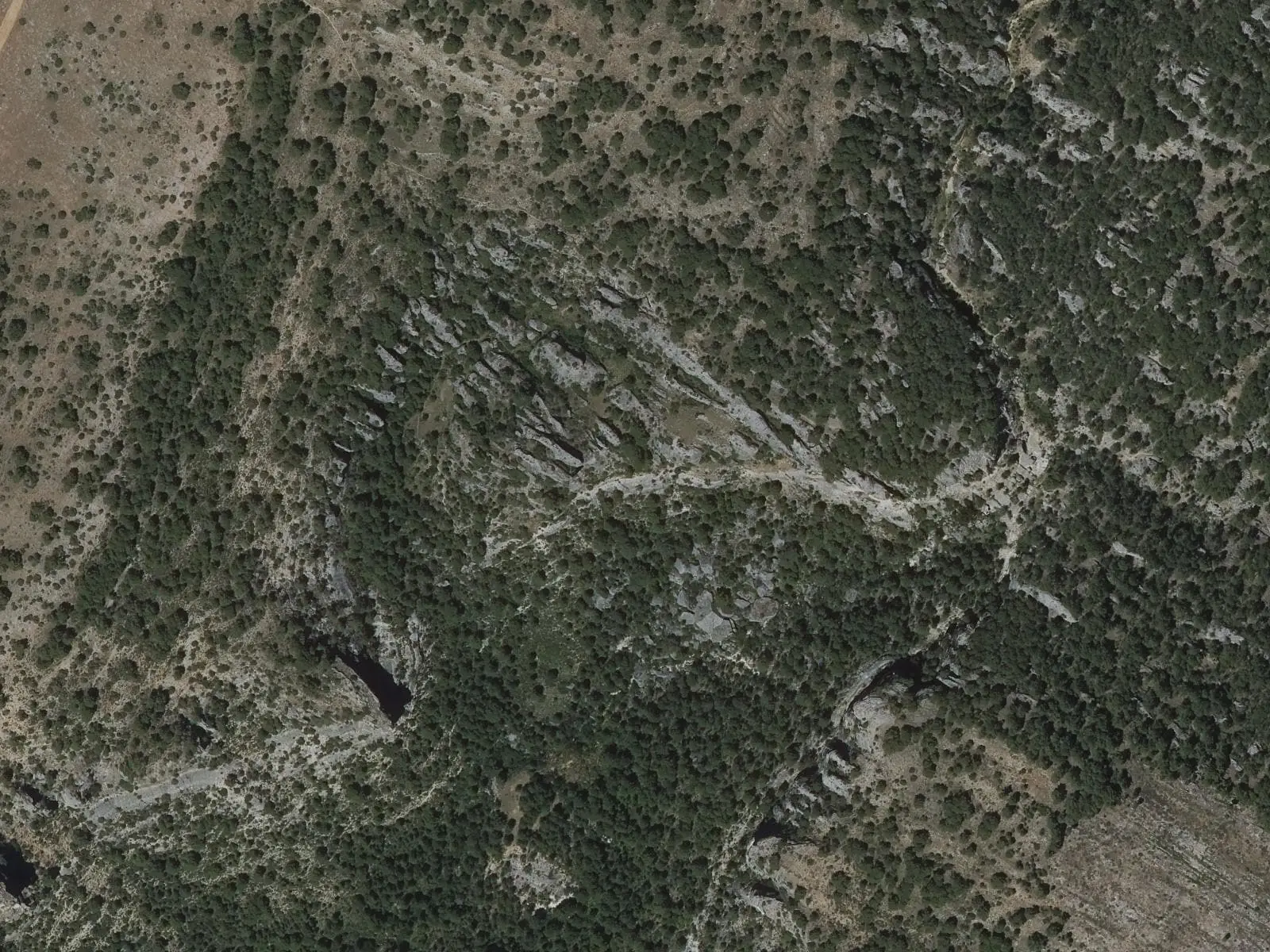
A path gradually enters dense pine woodland; the small valley narrows and rock walls appear on either side. Suddenly it overlooks a deep valley of cliffs: the Hoz Somera. Here the Fuente de las Losas variant, 1.5 km long, joins, shortening the circuit. A natural viewpoint reveals the whole canyon, its walls in narrow terraces.
The trail descends to the floor, crosses the stream and climbs close to the wall to Los Castillejos, where erosion has left unusual limestone forms. It then leaves the rocks over a pine-covered rise and returns to the village along a track. PR-CU 93 also starts in Carrascosa, with the Peña del Águila viewpoint above the same gorge.
Difficulty and time
Circular, 7.5 km and 187 m of elevation gain, between 1,160 and 1,264 m; about 2 h 15 min. Moderate difficulty.
Before you set out
The path crosses exposed ledges, and ice and snow are frequent in winter. Carrascosa has only basic facilities.
Official route · Federación de Deportes de Montaña de Castilla-La Mancha y Diputación de Cuenca (Senderos de Cuenca) (PR-CU 1). Description, track and notices on the official route page (in Spanish). Before you set out, check there for changes or closures.
Frequently asked questions
How difficult is it?
Moderate. A 7.5 km circuit with 187 m of accumulated elevation gain.
Is there a shorter version?
Yes: the 1.5 km Variante de la fuente de las Losas allows the route to be shortened.
Carry on from here
Lands and landscapes
From here, follow the memory of the land
These readings connect Sendero de la Hoz Somera y Los Castillejos with the stories, the work and the villages around it.
Where it is
● Villages · ● Places · ━ Simplified official route
Location sketch. The map with paths and names loads as you scroll to it.
Reference villages: Carrascosa · Valsalobre · Beteta · Cañizares.
Open the full map and its historical layers →Where the data on this page come from
- Name
- Federación de Deportes de Montaña de Castilla-La Mancha (FDMCM) / Senderos de Cuenca source consulted, 4 October 2026
- FDMCM · Diputación Provincial de Cuenca source consulted, 4 October 2026
- Diputación Provincial de Cuenca y Federación de Deportes de Montaña de Castilla-La Mancha (según fuentes públicas) source consulted, 5 October 2026
- Federación de Deportes de Montaña de Castilla-La Mancha source consulted, 5 October 2026
- Municipality (INE code)
- Federación de Deportes de Montaña de Castilla-La Mancha (FDMCM) / Senderos de Cuenca source consulted, 4 October 2026
- FDMCM · Diputación Provincial de Cuenca source consulted, 4 October 2026
- Diputación Provincial de Cuenca y Federación de Deportes de Montaña de Castilla-La Mancha (según fuentes públicas) source consulted, 5 October 2026
- Route data
- Federación de Deportes de Montaña de Castilla-La Mancha (FDMCM) / Senderos de Cuenca source consulted, 4 October 2026
- FDMCM · Diputación Provincial de Cuenca source consulted, 4 October 2026
- Diputación Provincial de Cuenca y Federación de Deportes de Montaña de Castilla-La Mancha (según fuentes públicas) source consulted, 5 October 2026
- Federación de Deportes de Montaña de Castilla-La Mancha source consulted, 5 October 2026
«Source consulted»: the primary source has been read. «Reference located»: the source has been identified but not yet read. «Open question»: the figure needs confirmation.