Route · Huélamo
PNSC-S5: Subida al Castillo de Huélamo
PNSC-05, Subida al Castillo de Huélamo, is an easy 0.4 km linear Natural Park trail climbing from Plaza del Obispo in the village to the remains of the Arab fortress on the rock. It offers summer shade and can be walked at any time of year; the outward and return journey takes less than two hours.
- Code
- PNSC-S5
- Distance
- 0.4 km
- Time
- 30 min
- Layout
- Linear
- Difficulty
- Easy
Walking time without travel or stops. Check the source to see whether distance and time include the return. Difficulty as graded by the official source. «Easy» does not mean accessible.
- PNSC-05
- Huélamo
- Castle
- Natural Park
Where to start
In Plaza del Obispo, in central Huélamo.
The route
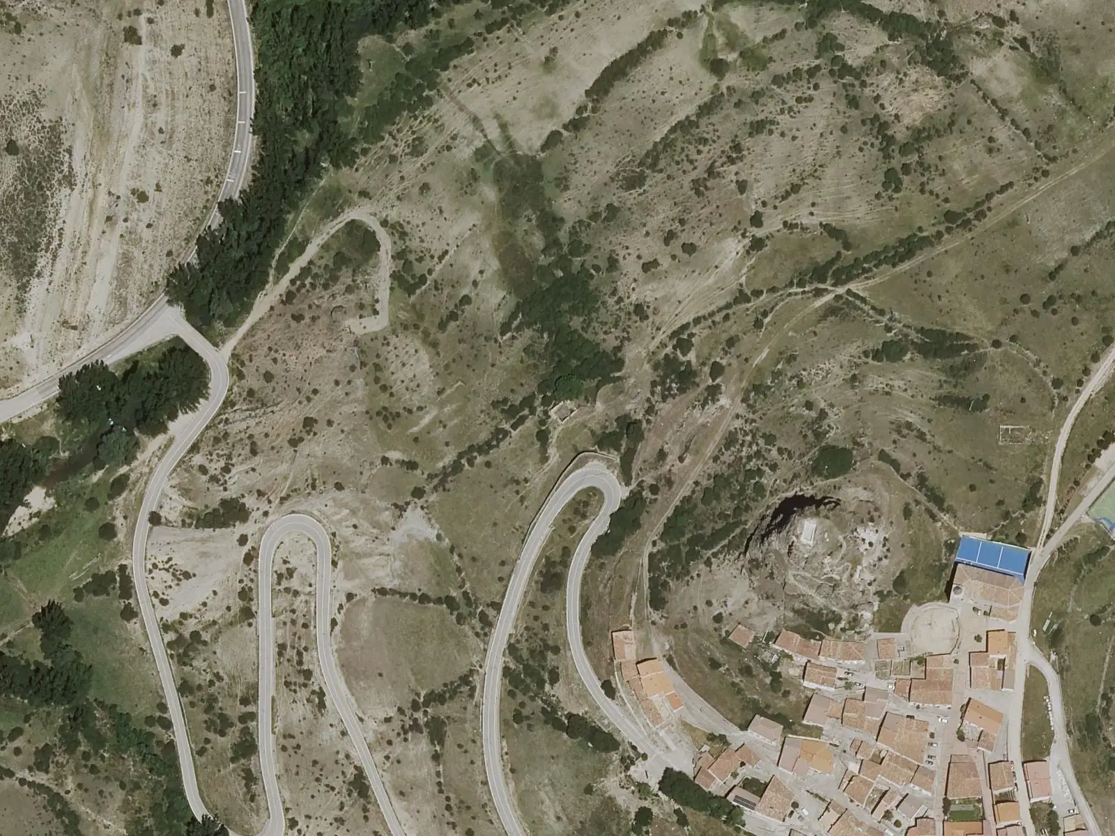
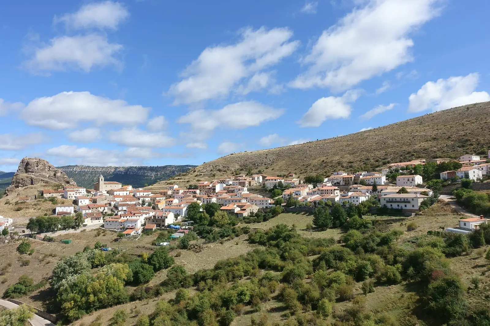
It climbs the streets of the village, on a slope crowned by a large rock, showing its mountain architecture. Above are the remains of Huélamo castle, with the upper Júcar valley below.
Difficulty and time
Linear, 0.4 km, easy, with summer shade. Including the visit, less than two hours. It can be walked at any time of year.
Before you set out
There are drops at the summit: keep back. The village’s other routes are PR-CU 7 and PR-CU 29, short-distance trails.
Official route · Junta de Comunidades de Castilla-La Mancha. Description, track and notices on the official route page (in Spanish). Before you set out, check there for changes or closures.

Frequently asked questions
Where does it start?
In Plaza del Obispo, within the village.
What can be seen?
The mountain village's layout and architecture, the castle remains and the upper Júcar valley.
Carry on from here
Lands and landscapes
From here, follow the memory of the land
These readings connect Subida al Castillo de Huélamo with the stories, the work and the villages around it.
Where it is
● Villages · ● Places · ━ Simplified official route
Location sketch. The map with paths and names loads as you scroll to it.
Reference villages: Huélamo · Valdemeca · Tragacete · Beamud.
Open the full map and its historical layers →Download GPX track · Official source · GPX converted from the official KML.
Where the data on this page come from
- Name
- Junta de Comunidades de Castilla-La Mancha — Parque Natural source consulted, 4 October 2026
- Municipality (INE code)
- Junta de Comunidades de Castilla-La Mancha — Parque Natural source consulted, 4 October 2026
- Route data
- Junta de Comunidades de Castilla-La Mancha — Parque Natural source consulted, 4 October 2026
«Source consulted»: the primary source has been read. «Reference located»: the source has been identified but not yet read. «Open question»: the figure needs confirmation.