Route · Tragacete
PNSC-S6: Tragacete - Cascada del Molino de la Chorrera
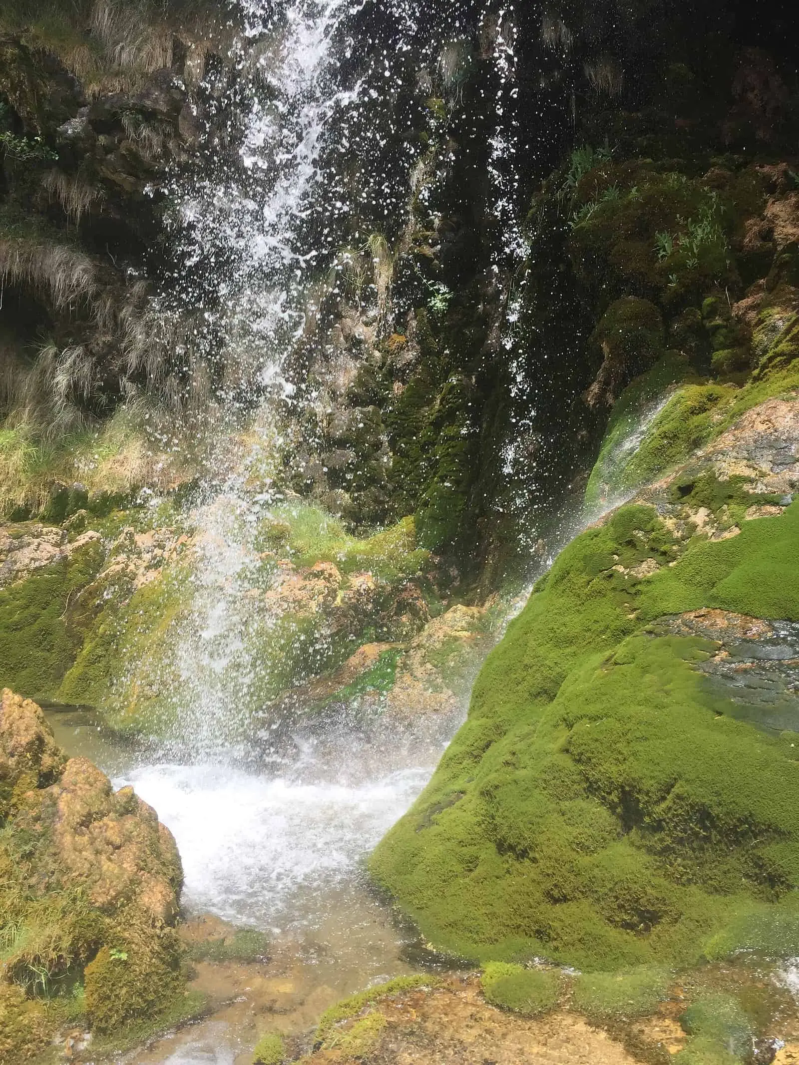
PNSC-06 is an easy 0.4 km linear walking trail in the Natural Park, following the Júcar to the foot of the tufa Cascada del Molino de la Chorrera, its first major waterfall. It starts from the San Blas forest road, about 2 km from Tragacete, and offers summer shade.
- Code
- PNSC-S6
- Distance
- 0.4 km
- Time
- 30 min
- Layout
- Linear
- Difficulty
- Easy
Walking time without travel or stops. Check the source to see whether distance and time include the return. Difficulty as graded by the official source. «Easy» does not mean accessible.
- PNSC-06
- Tragacete
- Waterfall
- Júcar
Where to start
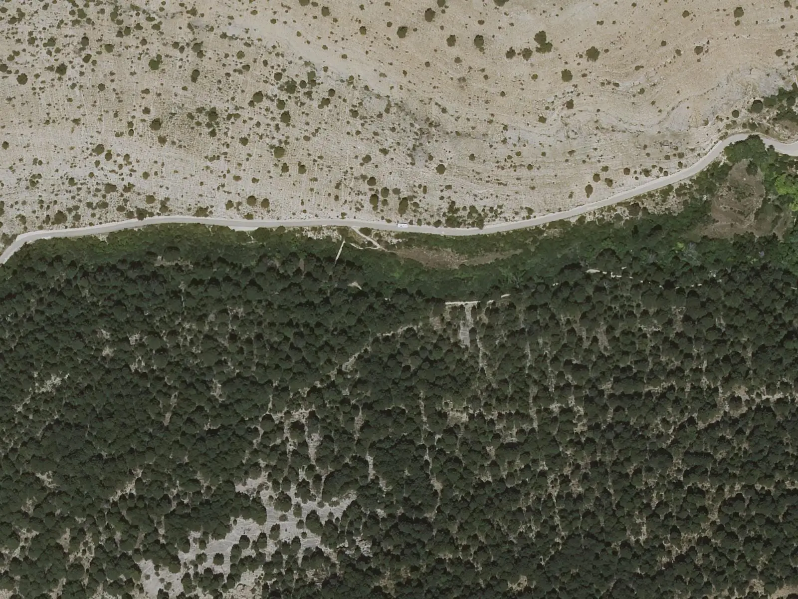
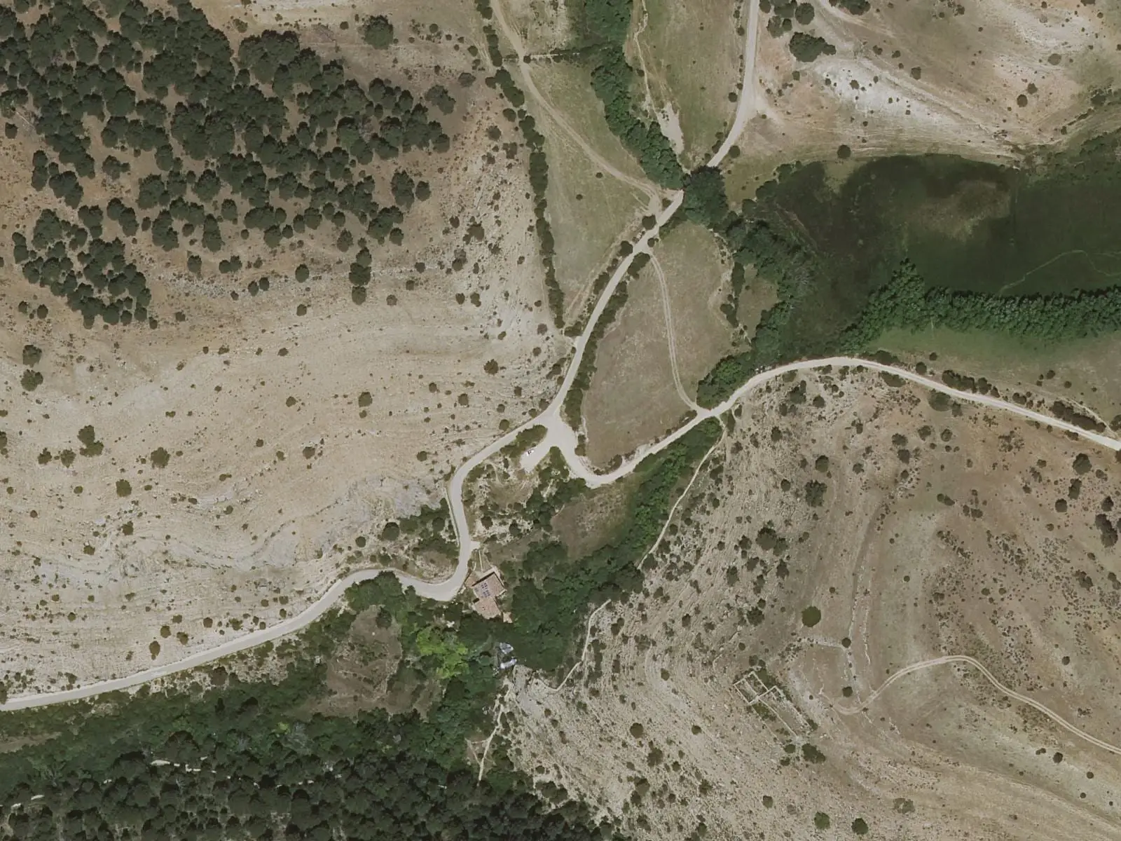
On the forest road from Tragacete to San Blas hostel, about 2 km from the village.
The route
An easy walk among pine woods and riverside trees, following the Júcar to the foot of the Cascada del Molino de la Chorrera, its first major waterfall, over tufa. Further upstream is the Júcar source, whose valley is followed by PR-CU 79, a short-distance trail.
Difficulty and time
Linear, 0.4 km, easy and shaded in summer. It can be walked all year, although the river carries little water during low-water periods.
Before you set out
Parking at the start is difficult: leave the car in Tragacete or the car park about 700 m before it. Before or afterwards, visit the visitor centre.
Official route · Junta de Comunidades de Castilla-La Mancha. Description, track and notices on the official route page (in Spanish). Before you set out, check there for changes or closures.
Frequently asked questions
Where can you park?
In Tragacete or the designated car park about 700 m before the start; parking at the start is difficult.
When should you go?
At any time of year, although it is less advisable during low-water periods, when flow is reduced.
Carry on from here
Lands and landscapes
From here, follow the memory of the land
These readings connect Tragacete - Cascada del Molino de la Chorrera with the stories, the work and the villages around it.
Where it is
● Villages · ● Places · ━ Simplified official route
Location sketch. The map with paths and names loads as you scroll to it.
Reference villages: Tragacete · Huélamo · Vega del Codorno · Valdemeca.
Open the full map and its historical layers →Download GPX track · Official source · GPX converted from the official KML.
Where the data on this page come from
- Name
- Junta de Comunidades de Castilla-La Mancha — Parque Natural source consulted, 4 October 2026
- Municipality (INE code)
- Junta de Comunidades de Castilla-La Mancha — Parque Natural source consulted, 4 October 2026
- Route data
- Junta de Comunidades de Castilla-La Mancha — Parque Natural source consulted, 4 October 2026
«Source consulted»: the primary source has been read. «Reference located»: the source has been identified but not yet read. «Open question»: the figure needs confirmation.