Village · Cuenca
Vega del Codorno
Vega del Codorno is a village in Serranía Alta (upper Serranía), with no single centre, within the Natural Park and the Cuervo River Source Natural Monument, the 300 m tufa barrier where the river emerges from rock. It has an astronomical observatory at 1,538 m. It separated from Tragacete in 1925 and had 135 inhabitants in 2021.
On this page 15 sections
A village below the San Felipe plateau
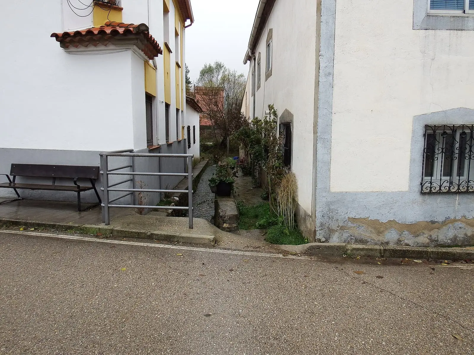
Vega del Codorno lies in Serranía Alta (upper Serranía), below the San Felipe plateau, within the Natural Park. It has no single village centre but neighbourhoods spread over eight or nine kilometres of the Cuervo valley, between about 1,310 and 1,400 metres: El Perchel, Los Perales, La Cueva, El Collado, El Molino, Los Eustaquios, Los Demetrios and Los Migueletes. Some bear the names of the first settlers; others the place name, such as La Cueva or Los Perales, after two large pear trees now gone. They separated from Tragacete in 1925 to form their own municipality: the first council meeting was on 21 March. It is one of the highest and coldest villages in the Serranía: in January 2025 temperatures fell to eleven below zero. That winter it had 138 registered residents and about a hundred living there Monday to Friday, with one neighbourhood down to five people. Until the mid-20th century the town hall was in another neighbourhood beside the church; a new one was then built in La Cueva, the most populous. A dispersed village costs money: rubbish collection, water and road repairs must reach every neighbourhood, and the idea of bringing everyone into one centre never succeeded because it needed every resident’s signature. The neighbourhood of Tío Chorretas, Las Chorretas, emptied in the post-war 1950s; abandoned houses and sheds remain.
The Cuervo source
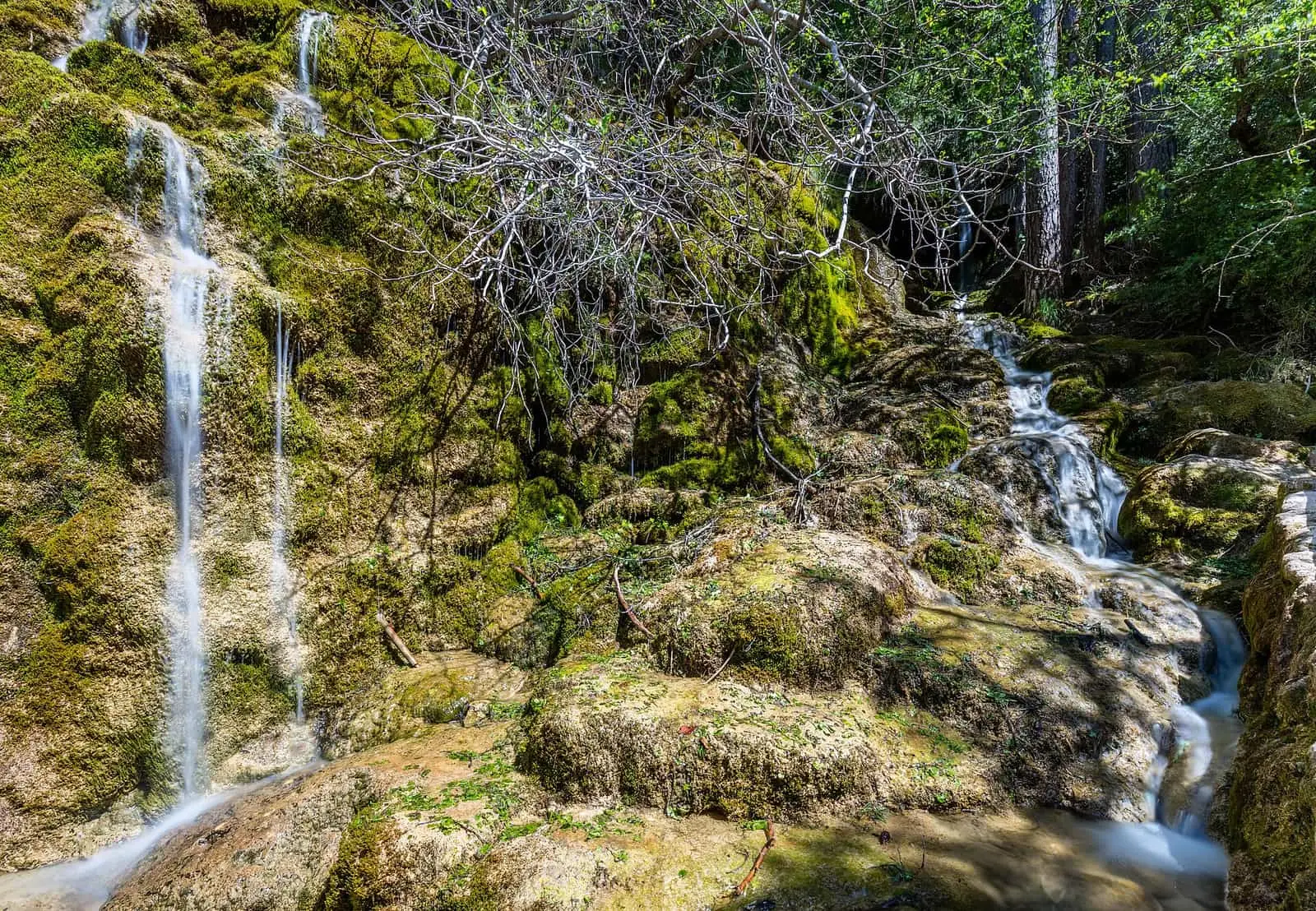
The Cuervo river rises within the municipality, inside a 1,709-hectare natural monument. Water, limestone and moss have built a tufa barrier 300 metres long and up to 25 high, damming the channel. Water falls in a curtain over only part of it; the rest is dry beneath pine woods. Above, a fissure in the rock supplies the river almost all year. Nearby are the Cueva del Nacimiento and the Cuervo River Interpretation Centre.
A dark sky
At 1,538 metres stands the Vega del Codorno Astronomical Observatory, the centre of the Serranía de Cuenca Astronomical Park. It belongs to the Town Council and is managed by AstroCuenca. Under a Starlight-certified sky it works remotely on exoplanet transits and double stars, and opens on some nights for observation.
In November 2022, according to Joaquín Álvaro of AstroCuenca, the observatory was operational and being calibrated for remote use. The idea was for schools to use it from classrooms, with observations recorded at night to watch by day, and for associations and professionals to request time to follow exoplanet transits and double stars occulted by the Moon. There were contacts with Puerto Rico, where it is daytime when it is night here.
The cave Nativity
On the Saturday before Christmas Eve, villagers perform a living Nativity in the large natural cave of La Cueva neighbourhood. They play Mary, Joseph and the other characters themselves, with traditional trades recreated around them; there is Mass, music, zurra, a local drink, and roast potatoes, and visitors come from throughout the province. It is designated a Festival of Regional Tourist Interest. In 1986, as recalled in 2023, the path from the three-spout fountain to the cave was lit, the stage enclosed with box and a star shone outside. A former Vega baker remembered another trade: taking food to gancheros (river timber drivers) in panniers on a donkey. In 2020 it would have been the 54th edition; it has taken place in snow several years, but that year the pandemic prevented rehearsals, and villagers sent photographs dressed as shepherds, kings or other characters, some from Madrid or Valencia with whatever clothes they had, to make a video and poster.
A version of Juanillo y el oso, a wonder tale about a boy of extraordinary strength, was also collected in Vega del Codorno. Professor Pilar Gómez Couso included it in her book on the province’s tales of enchantment (UCLM, 2023), collected orally in thirty-four localities.
Routes
SL-CU 14 (local trail) is 2 km to the source, with accessible boardwalks and ramps to the waterfalls, a viewpoint over the tufa and the open area formed upstream by the barrier. From there, PR-CU 78 (short-distance trail), Subida a la Muela, reaches in 200 metres the small cave where the barrier ends, then continues 10 km through the mountains; it passes a peat bog on the return.
A village that bought its valley
The Cuervo valley was a dehesa (wood pasture) of the city of Cuenca for centuries. In the 1570s, Cebrián de la Cruz, Felipe II’s timber buyer, felled hundreds of pines in Hoya de las Yeguas for beams at Aranjuez, El Escorial and Toledo, complaining there were no tracks to take them to the river. Farmers from Tragacete and the mountains gradually cleared and settled the valley: by the mid-19th century it was a hamlet of Tragacete with its own local mayor. In 1834 the Gaceta de Madrid mentioned a project to found a planned settlement here. On 8 August 1853, the villagers signed the deed by which they bought the pasture from Cuenca Town Council. How the city’s woodland passed to villages is told in The common woodland.
Then they wanted to be a municipality. Tragacete was a seven-hour return journey along a path closed by winter snow. Cuenca senator Arturo Ballesteros introduced a bill in 1912 and again in 1914 to make Vega del Codorno a municipality, without success. It achieved this in 1925, under the previous year’s Municipal Statute. For the centenary, the Provincial Council published its history, written by Luis Esteban Cava, in 2024. In 1928 Estampa magazine published photographs of its mayos and mayas, young festival participants, and brooches from an Iron Age necropolis in the municipality are displayed in the Cuenca Museum.
Walking down to Alcudia
Vega del Codorno still sends sheep south along the drove road. In November 2023 a local livestock keeper walked down with about 1,400 sheep towards the Alcudia valley in Ciudad Real: about 400 km in 23 days, in stages of around 20 km, along the Cañada Real de Rodrigo Ardaz, Los Chorros and the Conquense. Shepherds walked, another rode a horse, and a support vehicle carried tents and the electric fence erected each night to enclose the flock; if there was a pen on the route, they did not need to erect it. The livestock grazes as it walks, arriving with the winter pasture untouched. Departure is determined by cold, exhausted grazing and lambing, which must find the flock already on the estate. There, near Mestanza, on the same estate for about 35 years, they stay until early June, returning by lorry. The livestock keeper had then spent 44 or 45 years on seasonal livestock journeys. On one of the first nights, the mayor and friends went up to the drove road to bring them a bean supper. The story is told in Shepherds of the Serranía.
In 2025 the village hosted the second training day of the Trashumancias programme, devoted to the relationship between shepherding and fire.
- Francisco Seijo, James D. A. Millington and Monika Moreau debated traditional woodland uses and fire management in a panel chaired by Carmen Vázquez.
- Patricia Olivares presented Naturaleza Pastorear, a Fundación Global Nature project joining shepherding and conservation.
Words of the Vega
Since 2024 Ana Maeso has published the village’s speech column by column in Tu Comarca. She does not claim the words are exclusive to this place. Some, by subject:
- The home. Perchana, a window blind. Enjalbegar, whitewashing walls in spring after stove smoke had blackened them. Chupones de hielo, icicles on gutters. Chustas, sparks from the fire. Corte, where the pig is raised, and tornajo, where it eats. At pig slaughter, obispo means the stomach.
- Fields and woodland. Piazo, arable land. Dalla, a scythe, and amugues, netting for carrying straw. Buje, box, and pinochá, a pine wood. Hato, a shepherd’s baggage. Azaón, the tool for digging potatoes. Ablentar, winnowing the threshed crop to separate grain from straw. Escortezao, a dry field, and riguerón, an irrigation channel. Riscos and riscotes, stones.
- The body and knocks. Gobanilla, the wrist. Chueca, the knee. Párpago, the eyelid. Espicazar, having an accident. Sostrazo and talabarcazo, a blow. Escurrión, a slip. Saja, a cut.
- Weather. Turumbesca, a storm; solitrón, strong sun; calinón, intense heat; carleando, sweltering; chasca, fire.
- The table. Corrusco, a piece of hard bread; chusco, bread; esauras, pig or lamb lungs.
- People. Muchichos, children, who played with gachupe, mud made from water and earth. Chota, a child’s crying. Tapón de alcuza, a short person. Perrangán, someone who will not get off the sofa. Hambrina is hunger, hartazón is overindulgence, and esmallao describes someone who has not eaten.
- Going out. Aviarse, getting ready for a festival, and trasponer, leaving. «Voy al pueblo» (I am going to the village) means going from one neighbourhood to another. Irse por el repulgo, straying from the subject, and aberrunto, a sudden whim. People also say vículo for vehículo (vehicle) and pántano for pantano (reservoir).
Tío Linete
On 24 September 1960 Cuenca daily Ofensiva reported on page 6 that a resident known as Tío Linete had turned 108 the previous day. It said he was born in Vega del Codorno and placed the Vega in Tragacete’s municipality, although it had been independent since 1925. A press dispute followed, including an ABC article, over whether the old man was from the Vega or Tragacete; that part remains undocumented, and the age is the newspaper’s claim.
Plan your visit
The source trail takes a morning. Observations are at night and require warm clothing even in summer.
Before you travel
Check AstroCuenca’s observation calendar and the interpretation centre’s opening times. View tufa from the boardwalks without stepping on it or removing moss; it becomes covered in ice in winter.
Combine with
Tragacete, to which it once belonged, is 11.4 km away in a straight line, and Poyatos 10.3 km.
Frequently asked questions
What is the Cuervo river source?
The river's main spring, in a rock fissure at the end of a tufa barrier 300 m long and up to 25 m high, damming the channel. It is a Natural Monument of 1,709 ha. It supplies the Cuervo for almost the whole year.
How is it visited?
Along interpretive trail SL-CU 14, 2 km, 70 m of elevation gain and 1.4 hours. The waterfalls, the most visited point, are accessible by boardwalks and ramps. A branch from PR-CU 78, about 200 m from the open area, leads to the small cave.
What is the Vega del Codorno observatory?
An observatory at 1,538 m, owned by the Town Council and managed by AstroCuenca. It is robotic, can be used remotely and benefits from a Starlight-certified sky; it serves outreach and work such as exoplanet-transit photometry.
Carry on from here
The rivers, zones, eras, places and official routes that the atlas links with Vega del Codorno.
Lands and landscapes
From here, follow the memory of the land
These readings connect Vega del Codorno with the stories, the work and the villages around it.
Traces in the village and around it
Which eras you can read here
A single place can keep traces of several periods. These layers connect what you see with the atlas's stories.
Places in the municipality and around it
Official routes
Near Vega del Codorno
Alto de la Vega picnic area
Cuenca
Los Lagunillos picnic area
Cuenca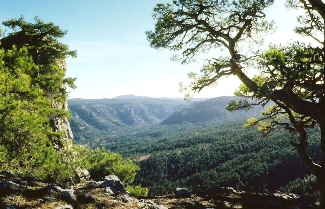
Peña del Reloj viewpoint
See 5 more
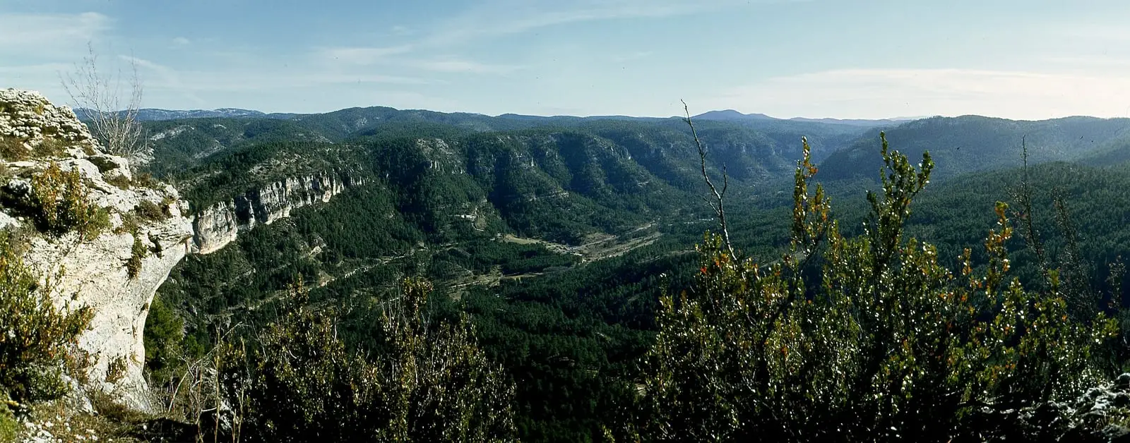
El Hosquillo
Cuenca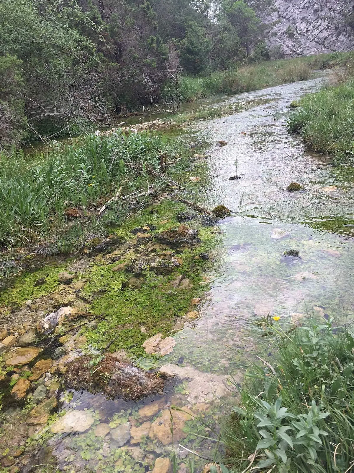
Source of the River Júcar
Tragacete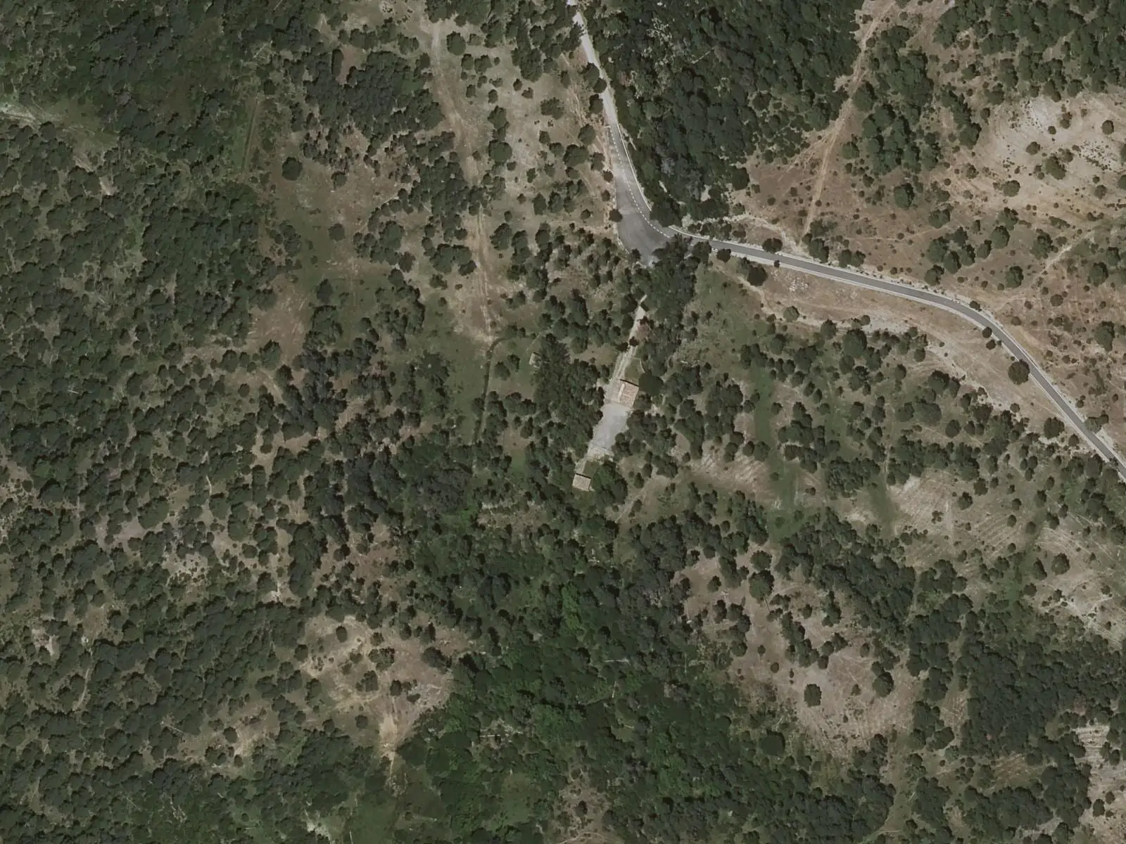
Fuente de la Tía Perra picnic area
Cuenca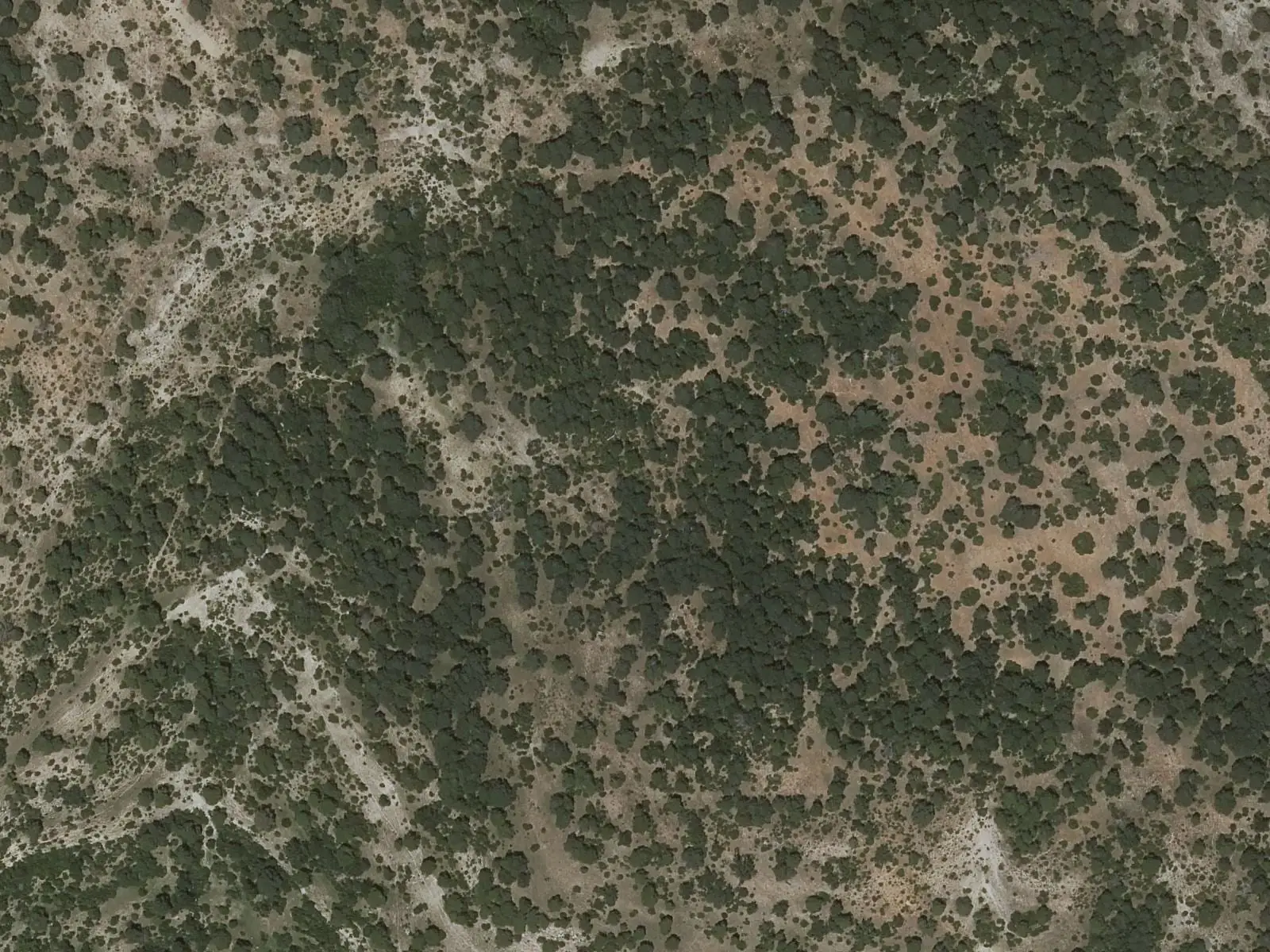
Balcón de Pilatos viewpoint
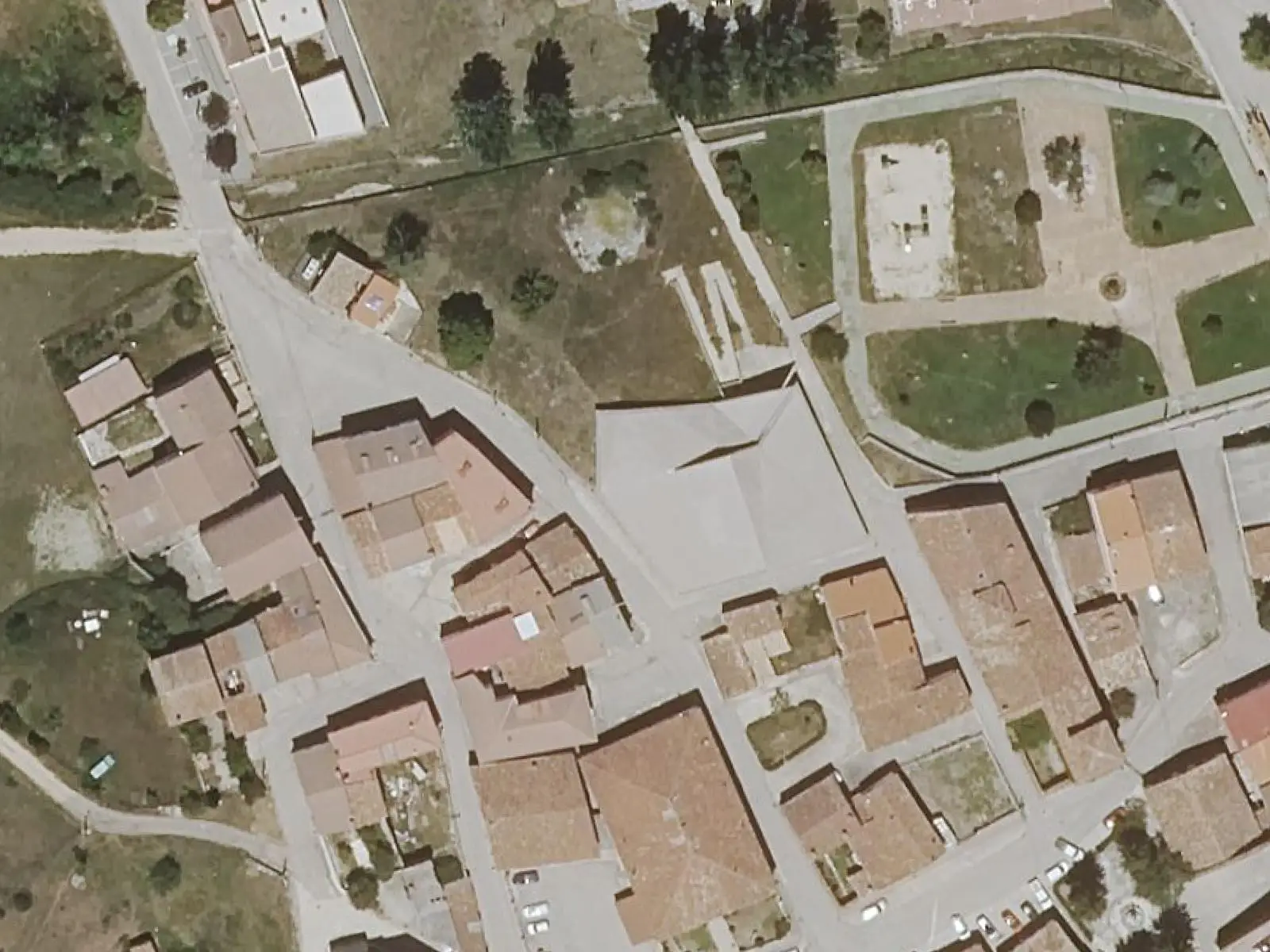
Tragacete Visitor Reception Centre
TragacetePopulation of Vega del Codorno, 1930–2021
Vega del Codorno reached 506 inhabitants in 1930. The 2021 census counted 135, 73 % fewer. It is the story told in the emptying.
Climate in Vega del Codorno month by month
Averages for the ten years from 2015 to 2024 from the ERA5 reanalysis (Copernicus), for a grid cell with a reference altitude of 1350 m. They are model estimates, not measurements from a local station or thirty-year climate normals.
Source: Copernicus ERA5 via Open-Meteo, CC BY 4.0. Retrieved: 2026-10-09.
Location
● Reference point · ● Villages · ● Places · ━ Routes nearby
Location sketch. The map with paths and names loads as you scroll to it.
Approximate position: village centre.
Reference villages: Poyatos · Tragacete · Santa María del Val · Lagunaseca.
Open the full map and its historical layers →Where the data on this page come from
- Location
- IGN: Nomenclátor Geográfico Básico de España, capital de municipio (CC BY 4.0) source consulted, 9 October 2026
«Source consulted»: the primary source has been read. «Reference located»: the source has been identified but not yet read. «Open question»: the figure needs confirmation.
More about Vega del Codorno, told from the village: the Vega del Codorno Town Council website.
altotajo.es, the sister atlas of the Alto Tajo, also has a page on Vega del Codorno.