Natural Monument
Hoz de Beteta y Sumidero de Mata Asnos Natural Monument
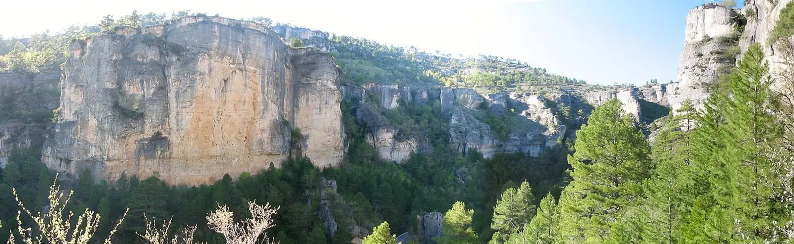
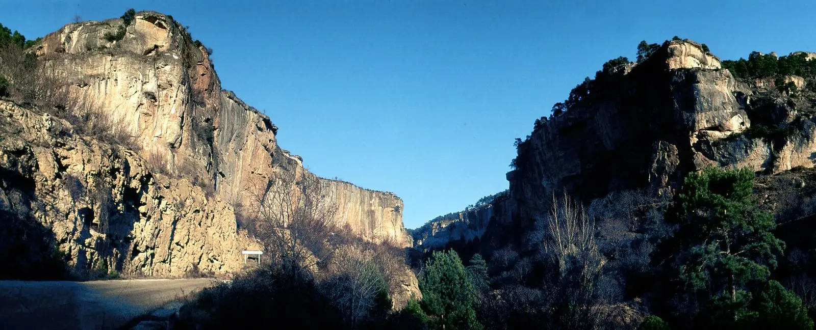
The Hoz de Beteta and Sumidero de Mata Asnos form a Natural Monument of 804.41 hectares designated by Decree 23/2004 in the municipalities of Beteta, Cañizares and Carrascosa. It includes the canyon cut by the Guadiela, with walls over 80 m high. It is also described on altotajo.es.
- Designation
- Natural Monument
- Legal basis
- Decreto 23/2004, de 16 de marzo
- Area
- 804.41 ha
- Municipalities
- 3
- Natural Monument
- Hoz de Beteta
- Guadiela
- Mata Asnos
- Canyon
The Guadiela canyon
This is the Serranía’s great river canyon. The Natural Monument, covering 804 hectares and designated in 2004, lies in the north of the province between the muelas, flat-topped limestone hills, of Carrascosa and El Palancar or San Cristóbal, at over 1,300 metres, in the municipalities of Beteta, Cañizares and Carrascosa. Its walls drop as much as 200 metres.
Rock that folds and drips
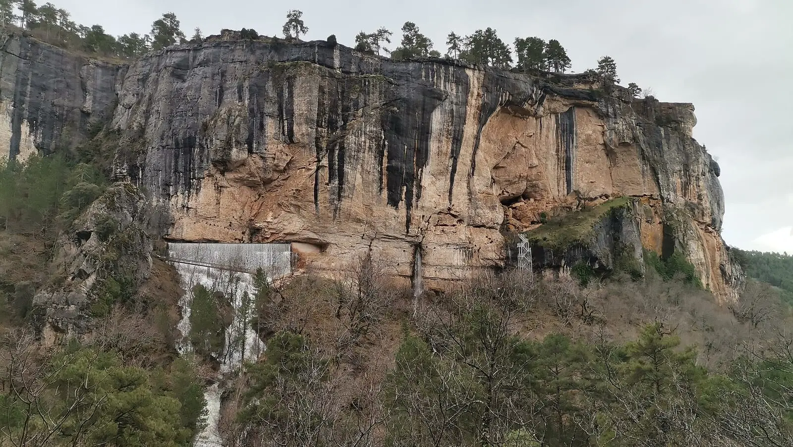
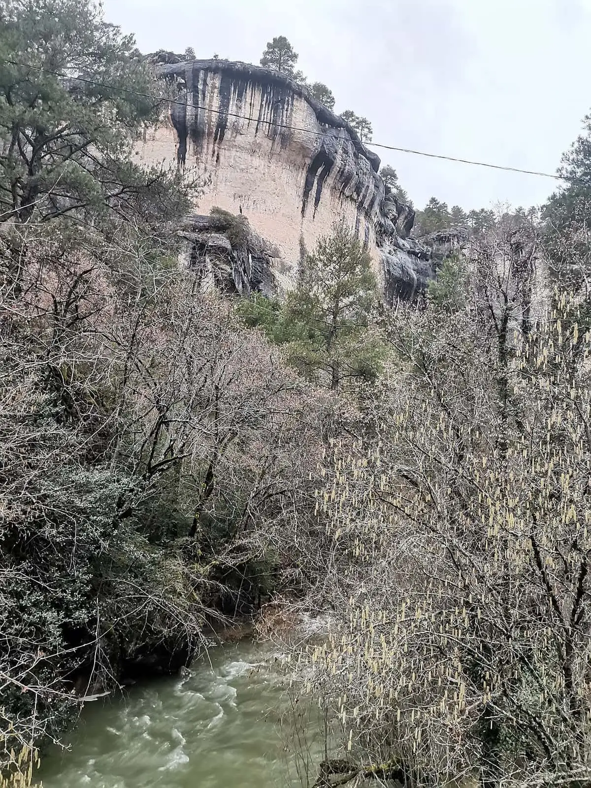
The Guadiela crosses the gorge from north to south. Above are layered Jurassic limestones and dolostones, clearly visible at the Las Librerías dam; in the middle, the vertical walls are Cretaceous; below, Jurassic again, bent into a fold beside the Casa de la Toba, a house dug into the rock. There are rockfalls, waterfalls, travertines, meanders, springs and caves. The largest travertine is beside that house and marks an old natural dam on the river.
The swallow hole
About 3 km to the west, the Sumidero de Mata Asnos swallows a small stream and carries it more than 4 km underground until it emerges near the Casa de la Toba.
Las Librerías on the Guadiela
Following the river upstream from the Casa de la Pradera, horizontally layered limestones form a semicircular face like a pile of books: Las Librerías (this is not the viewpoint of the same name above the Trabaque). The Arroyo del Valle falls over the top after heavy rain or snowmelt, and beyond, in the Guadiela’s bed itself, is the Las Librerías dam. In 2022 it was one of the gorge’s most recently signposted trails. In the dampest, most confined corners grow limes, hazels and rowans, which guide Fernando Carreras describes as remnants of a more Atlantic climate.
Not all the falling water in the gorge is natural. Besides the swallow hole’s outlet, one fall is the overflow of the channel carrying water from La Tosca reservoir to Vadillos power station, returning the surplus to the Guadiela.
What lives here
In the damp, shaded corners of the middle gorge grow limes and hazels, a remnant of Atlantic woodland. There are black-pine forests, Portuguese-oak woods, juniper woods and aspen on the riverbanks, and on the walls, Pinguicula mundi, a protected carnivorous plant found only on the Iberian Peninsula. There are otters, wildcats, genets and badgers, and a vulture colony. At least eight birds are threatened in the region, such as the Egyptian vulture, short-toed eagle, kingfisher, eagle owl and dipper. Its caves are among the main winter refuges of the Mediterranean horseshoe bat.
Plan your visit
Before you travel
Visiting rules are on the Protected Areas Network portal. The walls are vertical: keep away from the edge.
Combine with
The Hoz de Beteta, Rochafría castle and the Cueva de la Ramera. It is part of the Serranía de Cuenca SAC and SPA.


From the archive
Frequently asked questions
What is the Hoz de Beteta?
The canyon the River Guadiela cuts outside Beteta, with walls more than 80 metres high.
Which municipalities is it in?
Beteta, Cañizares and Carrascosa.
Carry on from here
Lands and landscapes
From here, follow the memory of the land
These readings connect Hoz de Beteta y Sumidero de Mata Asnos Natural Monument with the stories, the work and the villages around it.
Which municipalities it covers
Where the data on this page come from
- Name
- Junta de Castilla-La Mancha, Red de Áreas Protegidas: Monumento Natural Hoz de Beteta y Sumidero de Mata Asnos (ficha) source consulted, 5 October 2026
- Designation and legal basis
- Junta de Castilla-La Mancha, Red de Áreas Protegidas: Monumento Natural Hoz de Beteta y Sumidero de Mata Asnos (ficha) source consulted, 5 October 2026
«Source consulted»: the primary source has been read. «Reference located»: the source has been identified but not yet read. «Open question»: the figure needs confirmation.
altotajo.es, the sister atlas of the Alto Tajo, also has a page on Hoz de Beteta y Sumidero de Mata Asnos Natural Monument.