Village · Cuenca
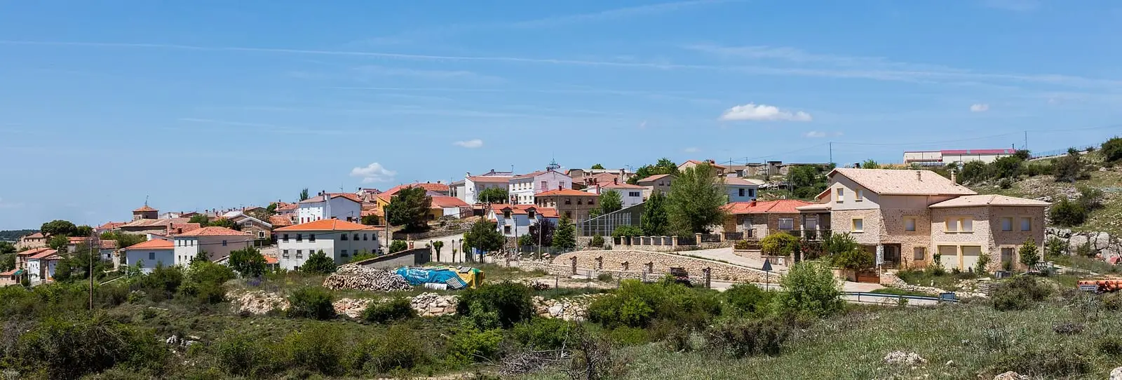
Carrascosa
Carrascosa is a village in the Serranía Alta (upper Serranía) of Cuenca on a paramera of pine forests and dehesas, beside the Hoz Somera and near the Hoz de Tragavivos. It had 539 inhabitants in 1950 and 66 in 2021. Three official trails start here, one reaching its hamlet of Herrería de Santa Cristina and El Infiernillo power station.
On this page 12 sections
A paramera of pine forests and dehesas
Carrascosa lies on a paramera, a high, open limestone plateau, in the Serranía Alta, among pine forests and dehesas, wood pastures, and is among the mountains’ cold villages. Its name speaks of carrascas, holm oaks. The church of La Asunción follows the Gothic tradition. The municipality includes the hamlet of Herrería de Santa Cristina, borders Valsalobre, Beteta and Cañizares and extends into the Hoz de Beteta y Sumidero de Mata Asnos Natural Monument.
Around Carrascosa
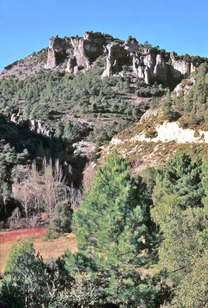
- Hoz Somera, a deep valley of cliffs in narrow terraces.
- Peña del Águila viewpoint, above the Hoz Somera.
- The dehesa boyal, common ox pasture, of Valsalobre, described in The dehesa and livestock of Valsalobre.
Los Castillejos forms a kind of stone city with passages and unusual shapes such as Peña del Capricho, midway between Los Callejones de Las Majadas and the Ciudad Encantada; those showing it speak of about 811 hectares in four sectors. The unusual feature is water: of the municipality’s nine streams, much flows between the rocks in waterfalls before descending to the Guadiela through Herrería de Santa Cristina.
A Guadiela tributary descends through the Hoz Somera, forming several waterfalls among the canyons in high water; at some times it almost dries out.
The wartime junta
From 10 to 18 June 1812, during the Peninsular War, the Junta Superior de Aragón y parte de Castilla took refuge in Carrascosa, fleeing the French in Molina. It left for Checa on being warned that two French divisions were leaving Cuenca to seek it. In the Covacho de las Pintas, within the municipality, two uniformed soldiers are engraved in stone, attributed to that war though they could be from the Carlist Wars.
The municipality has the Roble del Tío Lucas, a sessile oak (Quercus petraea), uncommon in Cuenca, almost three metres in girth and full of branches from longstanding pruning.
Routes
- PR-CU 1, Hoz Somera y Los Castillejos: 7.5 km. It overlooks the gorge, descends to its floor, crosses the stream and climbs beside the wall to Los Castillejos, limestone carved by erosion. A variant via Fuente de las Losas shortens it.
- PR-CU 4, Sendero de las Dehesas: 19.7 km. It crosses Carrascosa’s pine and oak dehesa and Valsalobre’s common ox pasture, climbs along the Arroyo de la Navareja above 1,400 m, passes the ruins of Valtablado de Beteta and descends to Cueva del Hierro.
- PR-CU 93, Herrería de Santa Cristina: 9.7 km one way to La Herrería and El Infiernillo power station, with the Peña del Águila and Rocines viewpoints overlooking the Hoz de Tragavivos. It crosses the ravine by Puente de las Tobillas. Return along the same path, which begins with a steep climb.
Light from the Hoz Somera mill
Around 1920 the tenant of the village-owned Hoz Somera mill installed a generator and brought electric light to Carrascosa. A small dynamo was installed at the Molino de la Losa, also within the municipality, to light its own rooms.
Plan your visit
The PR-CU 1 is the shortest of the short-distance trails and best shows the Hoz Somera. With a full day, the PR-CU 4 links with Valsalobre and Cueva del Hierro.
Before you travel
In winter the cliffs freeze. Take water and warm clothing; viewpoints overlook vertical walls.
Combine with
Valsalobre is 6.6 km away as the crow flies, Beteta 7.6 and Cañizares 8.3.
From the archive
Frequently asked questions
Which trails start from Carrascosa?
PR-CU 1 (Hoz Somera y Los Castillejos, 7.5 km), PR-CU 4 (Sendero de las Dehesas, 19.7 km, about 6 hours) and PR-CU 93 (Ruta de la Herrería de Santa Cristina, 9.7 km), all three approved by the mountain sports federation and Cuenca Provincial Council.
What is Herrería de Santa Cristina?
A hamlet in the municipality of Carrascosa reached by the PR-CU 93, a linear route with major changes in elevation linking the village with the hamlet and El Infiernillo power station.
How many people live in Carrascosa?
66 in the 2021 census. The peak was 539 in 1950, according to the INE.
Carry on from here
The rivers, zones, eras, places and official routes that the atlas links with Carrascosa.
Rivers and basins
Following the water from Carrascosa
Follow these watercourses to where they meet, to their villages and to the memories of their basin.
Lands and landscapes
From here, follow the memory of the land
These readings connect Carrascosa with the stories, the work and the villages around it.
Places in the municipality and around it
Official routes
Near Carrascosa
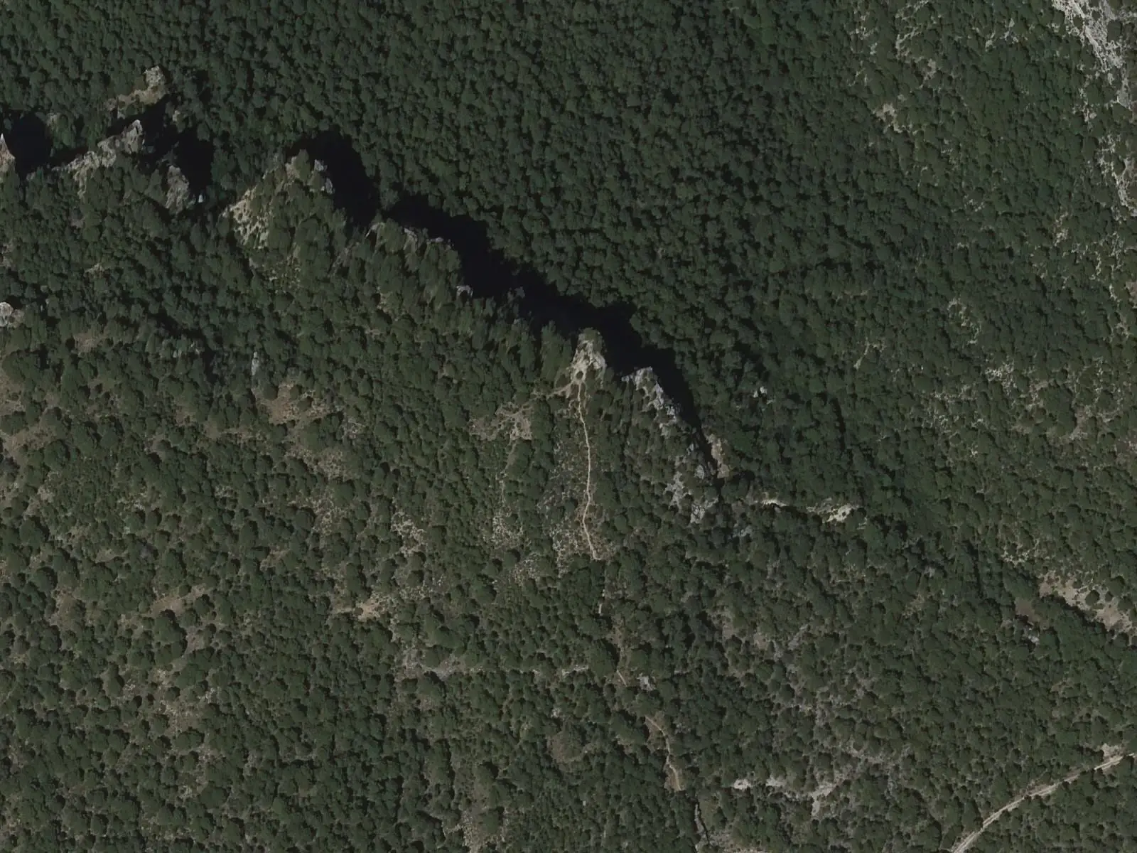
Tragavivos viewpoint
Cañizares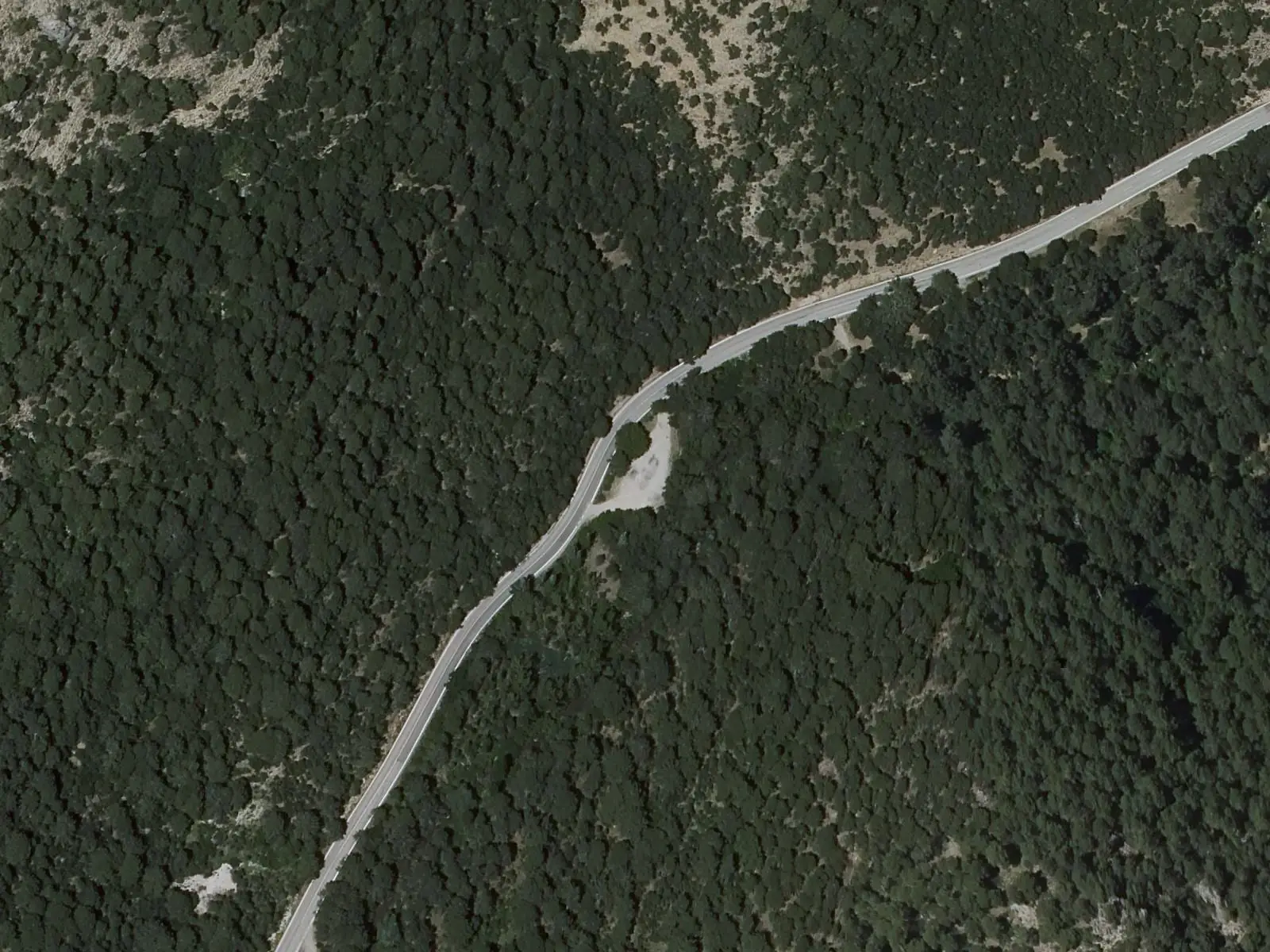
Casa de la Pradera picnic area
Beteta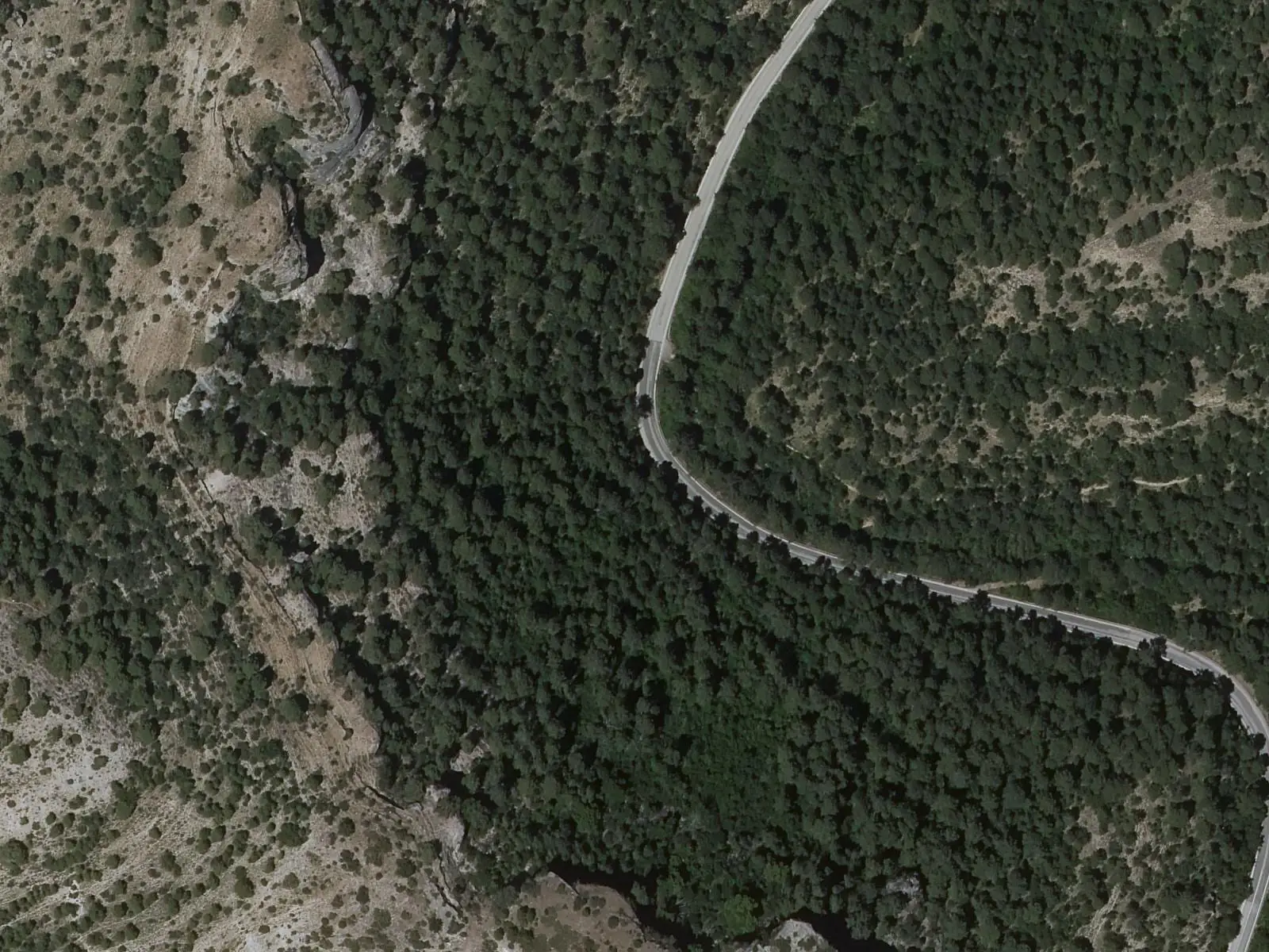
Fuente de los Tilos picnic area
BetetaSee 5 more
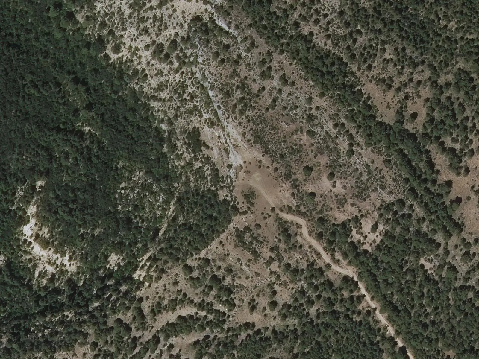
Armentero viewpoint
Beteta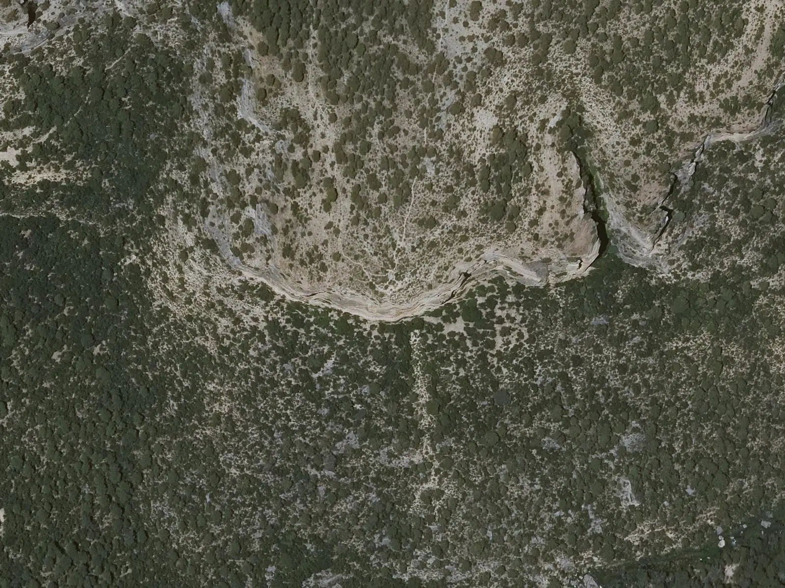
Cruz de Solán viewpoint
Beteta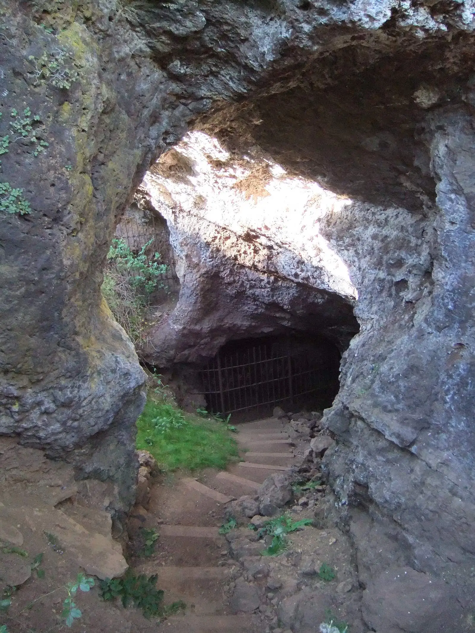
Roman mine of Cueva del Hierro
Cueva del Hierro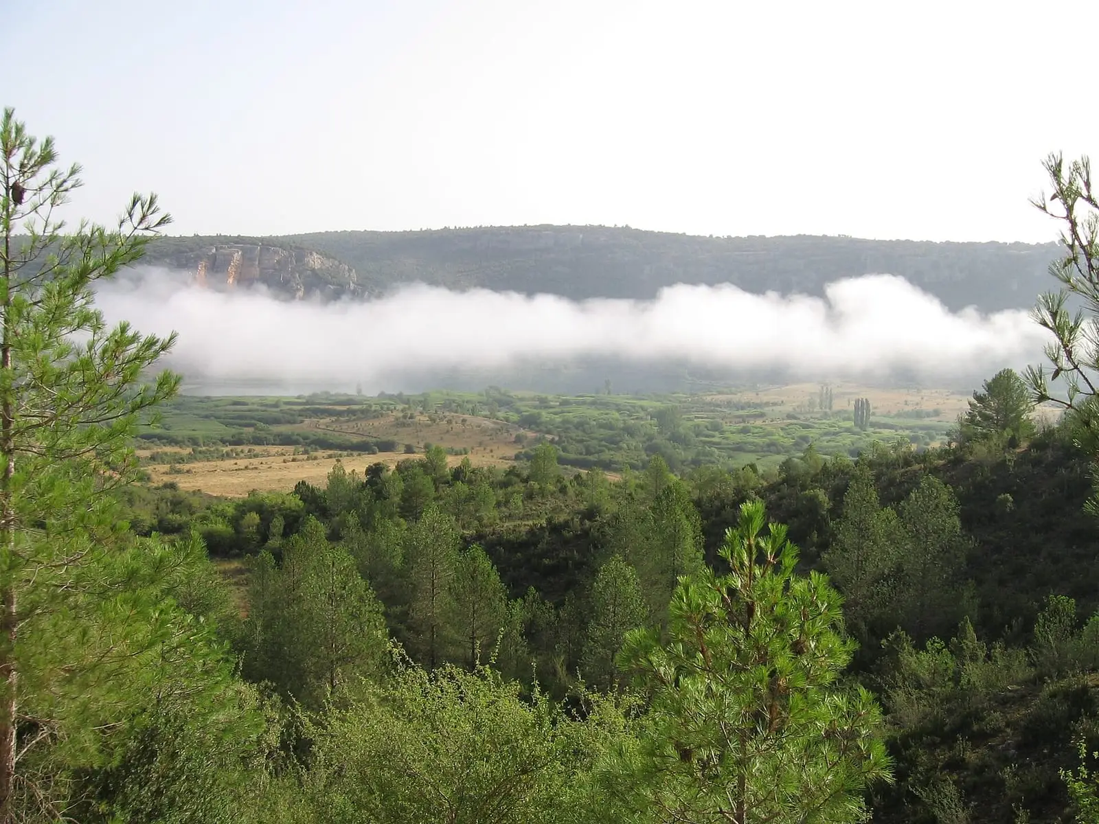
Lagunas de El Tobar
Beteta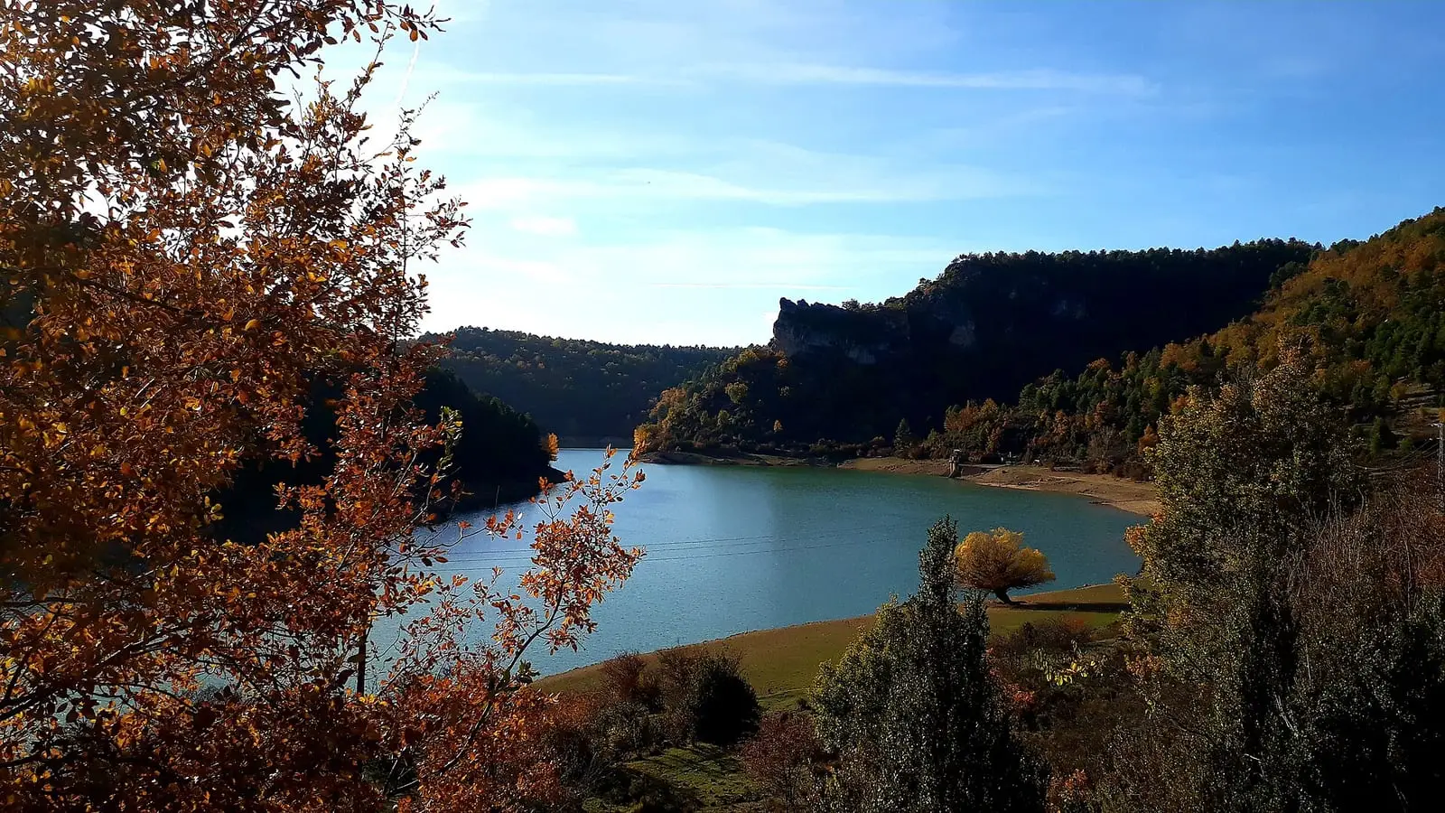
La Tosca reservoir
Santa María del ValPopulation of Carrascosa, 1842–2021
Carrascosa reached 539 inhabitants in 1950. The 2021 census counted 66, 88 % fewer. It is the story told in the emptying.
Climate in Carrascosa month by month
Averages for the ten years from 2015 to 2024 from the ERA5 reanalysis (Copernicus), for a grid cell with a reference altitude of 1270 m. They are model estimates, not measurements from a local station or thirty-year climate normals.
Source: Copernicus ERA5 via Open-Meteo, CC BY 4.0. Retrieved: 2026-10-09.
Location
● Reference point · ● Villages · ● Places · ━ Routes nearby
Location sketch. The map with paths and names loads as you scroll to it.
Approximate position: village centre.
Reference villages: Valsalobre · Beteta · Cañizares · El Pozuelo.
Open the full map and its historical layers →Where the data on this page come from
- Location
- IGN: Nomenclátor Geográfico Básico de España, capital de municipio (CC BY 4.0) source consulted, 9 October 2026
«Source consulted»: the primary source has been read. «Reference located»: the source has been identified but not yet read. «Open question»: the figure needs confirmation.
altotajo.es, the sister atlas of the Alto Tajo, also has a page on Carrascosa.