Viewpoint · Carrascosa
Peña del Águila viewpoint
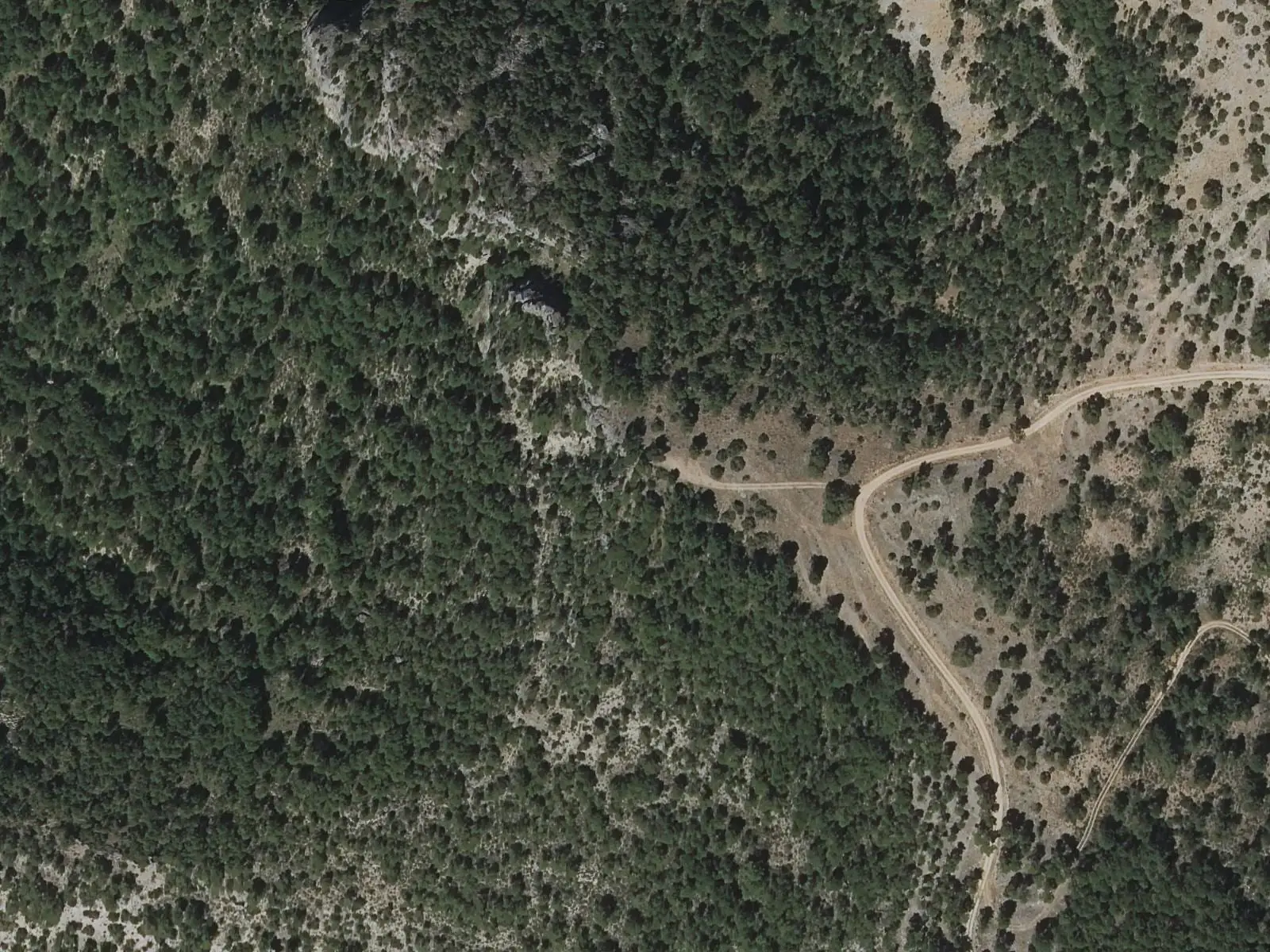
Peña del Águila viewpoint stands on the PR-CU 93 trail descending from Carrascosa to its hamlet of Herrería de Santa Cristina. It overlooks the Hoz Somera ravine. A little lower, Rocines viewpoint reveals the Hoz de Tragavivos, Estrecho de Guijarro and Molino de Chincha reservoir.
- Municipality
- Carrascosa
- Viewpoint
- Carrascosa
- Hoz Somera
- PR-CU 93
- Herrería de Santa Cristina
On the way to La Herrería
The PR-CU 93, a PR (short-distance trail), links Carrascosa with its hamlet, Herrería de Santa Cristina, and the Infiernillo power station. It leaves past the communal washhouse along the traditional Santa Cristina path, climbs to Los Pimpollos and begins a long descent with two lookouts: Peña del Águila, above the Hoz Somera ravine, and Rocines, overlooking the Hoz de Tragavivos, Estrecho de Guijarro and Molino de Chincha reservoir.
The path then enters a narrow defile, crosses the Hoz Somera on the Puente de las Tobillas and reaches the first houses of La Herrería.
Plan your visit
Before you travel
It is a linear trail with steep changes in elevation: consider the return before descending.
Combine with
The PR-CU 1, through the Hoz Somera and Los Castillejos, and the Tragavivos viewpoint, in Cañizares.
Frequently asked questions
How do you get there?
On the PR-CU 93, Ruta de la Herrería de Santa Cristina: it leaves Carrascosa past the communal washhouse, climbs to Los Pimpollos and, on the long descent, passes the Peña del Águila and Rocines viewpoints.
Carry on from here
Lands and landscapes
From here, follow the memory of the land
These readings connect Peña del Águila viewpoint with the stories, the work and the villages around it.
Where it is
● Reference point · ● Villages · ● Places · ━ Routes nearby
Location sketch. The map with paths and names loads as you scroll to it.
Reference villages: Carrascosa · Cañizares · El Pozuelo · Valsalobre.
Open the full map and its historical layers →More viewpoints nearby
See all →
Where the data on this page come from
- Name
- Rewilding España source consulted, 4 October 2026
- Municipality (INE code)
- Rewilding España source consulted, 4 October 2026
- Location
- Rewilding España source consulted, 4 October 2026
«Source consulted»: the primary source has been read. «Reference located»: the source has been identified but not yet read. «Open question»: the figure needs confirmation.