Village · Cuenca
Cañizares
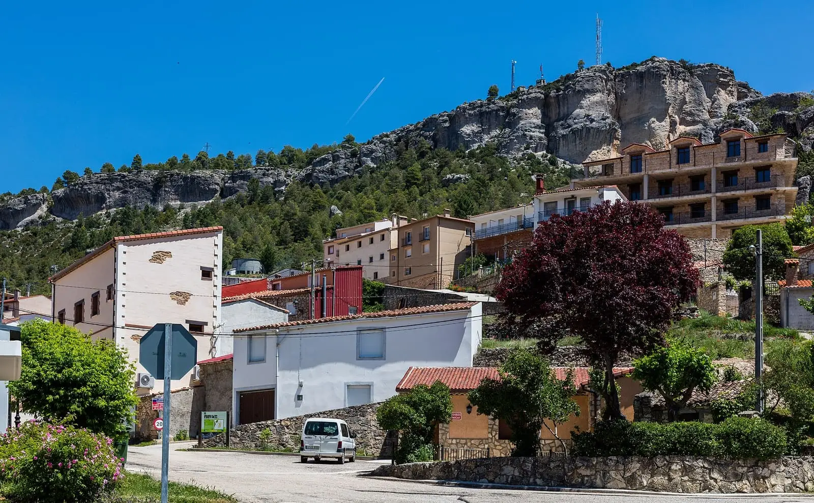
Cañizares is a village in the Serranía Alta (upper Serranía) of Cuenca, on a rocky promontory among gorges and hills beside the Guadiela. It had 900 inhabitants in 1960 and 430 in 2021. It is one of the five Cuenca municipalities of the Gancheros del Alto Tajo, with a known Celtiberian cemetery and the Hoz de Tragavivos nearby.
On this page 16 sections
- A village on a promontory
- What trades and memory tell
- Around Cañizares
- A village that bought itself
- The shearing crew
- A Quixote of the mountains
- The dehesa disputed by Poyatos and Cuenca
- Light in La Huerta de Marojales
- The women willow basketmakers
- Plan your visit
- From the archive
- Frequently asked questions
- Carry on from here
- Population
- Climate
- Location
A village on a promontory
Cañizares lies in the Serranía Alta, on a rocky promontory surrounded by hills and gorges, with the Guadiela valley below. Its cobbled streets, medieval in layout, lead to the church of the Apóstol Santiago and the Virgen de los Casares hermitage. Around them remain traces of the castle and a corner with its own name, El Huesario.
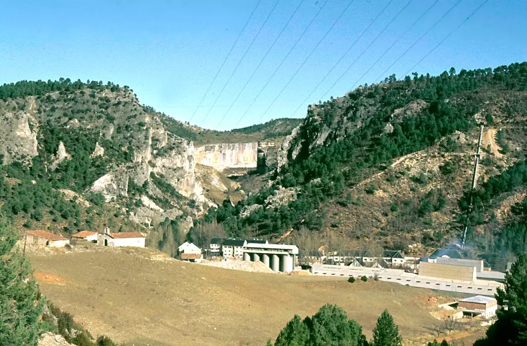
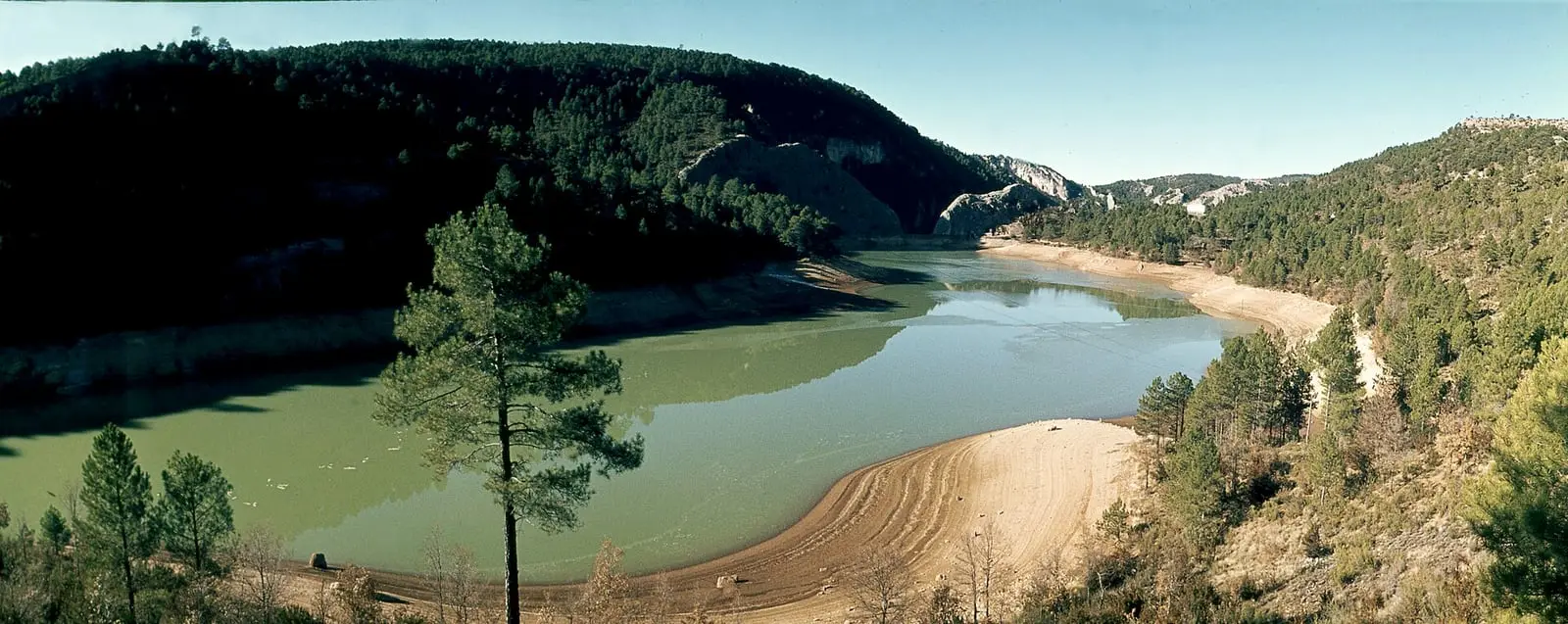
The viewpoints overlook the Hoz de Tragavivos, a Guadiela canyon with walls over 80 metres high and the river winding along its floor. The municipality extends into the Hoz de Beteta y Sumidero de Mata Asnos Natural Monument.
What trades and memory tell
Pine logs came down the Guadiela towards the Tagus, and Cañizares is one of the five Cuenca municipalities included in the 2021 listing of the Gancheros del Alto Tajo as a Bien de Interés Cultural (Spain’s highest heritage listing). Events celebrating the gancheros, river timber drivers, are held in the municipality, and Puente de Vadillos has the Museo de la Madera y los Gancheros. The trade is told in The gancheros of the Escabas and Guadiela.
About 2.5 km east of the village was a Celtiberian cemetery of cremation burials: iron objects, spindle whorls, a brooch and handmade and wheel-thrown vessels. Its date is disputed.
Around Cañizares
- Tragavivos viewpoint, above the gorge.
- Cañizares cemetery.
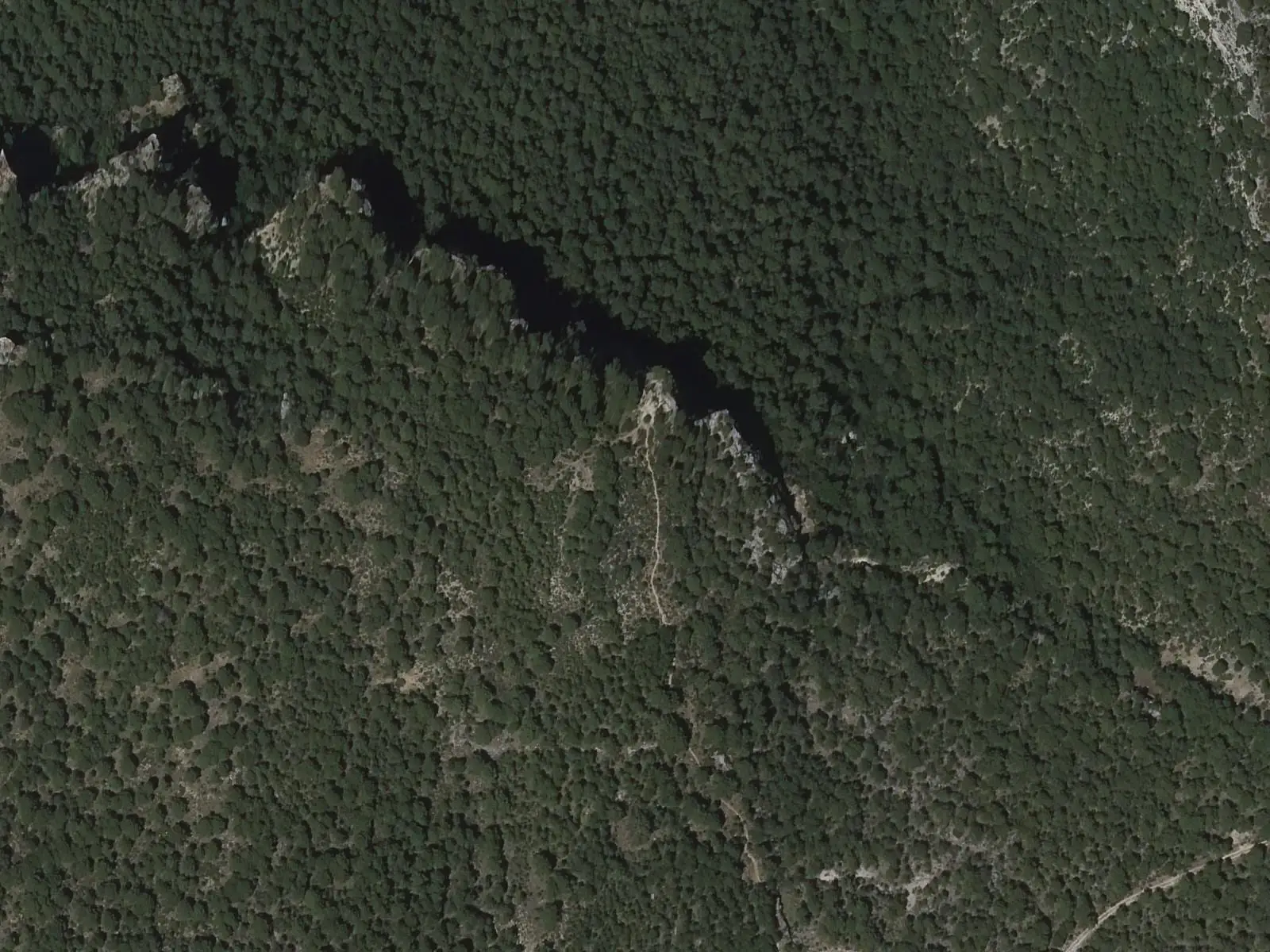
In the limestone muela, a flat-topped hill, above the village opens a cave shown on internet maps as Enkalafeli; the name’s origin is unknown. It has a large outer cavity overlooking pine forest and, on another level, a narrow entrance leading to larger passages: it is for cavers and must not be entered. From the Peñarrubia viewpoint the village can be seen among pine forests and willow fields.
A village that bought itself
After Cuenca’s conquest, Cañizares was a dependent village of the city, but lay between the lordship of Beteta and the county of Priego, and Beteta’s lords wanted it for themselves. In the 15th century Pedro Carrillo de Albornoz appointed his own mayor and officers and even built a fortress in the village. Cuenca took legal action, and in 1477 and 1479 the Crown ordered him to return Cañizares, Fuertescusa and Alcantud and demolish the fortress; in 1480 he occupied them again with horsemen and foot soldiers, and the Catholic Monarchs had to send an envoy to return them to Cuenca. Nothing remains of the castle: it is thought to have stood at Piedras del Castillo or on the Horca promontory.
A century later the inhabitants decided to depend on nobody. They argued that Cuenca was ten leagues away, that in winter they had to cross rivers to attend court and that the city’s justice mistreated them «sobre cosas livianas» (over trivial matters). Philip II, needing money, sold jurisdictions, and Cañizares bought itself: 9,500 maravedíes for each of its 240 households, 2,280,000 in total, paid in three instalments between November 1582 and November 1583. From then on it had its own courts. The 1585 document held by the municipal archive describes the municipality’s limits boundary stone by boundary stone, starting at a San Bartolomé hermitage of the Order of St John and passing the Peña del Yelo above the Guadiela.
The shearing crew
Between 1947 and 1955, each first week of May, a shearing crew from Cañizares and Beteta left Cañizares on foot with little more than shears, a change of clothes and cloth gaiters. They sheared by hand from May to July, village by village: Alcantud, Castilforte, Villanueva de Alcorón, with about 25,000 sheep, where they stayed nearly a month, El Pozuelo, La Herrería, Cañizares, with about 10,000, Casa de la Toba, Carrascosa, Valsalobre, El Tobar and finally La Huerta de los Marojales. Normally each man sheared 45 to 50 sheep a day, and the last remembered rate was 0.80 pesetas per sheep; it never reached one peseta.
Before shearing, sheep were packed into the livestock shelter to sweat so the wool came off better. If the shears cut an animal, the shearer called «¡Moreno!» (the call for crushed charcoal) and a boy came with a roof tile full of crushed charred wood, put on the wound to keep flies off. At night they sharpened the shears on sandstone and honed the edge with slate. Food was paid for by the livestock owner, and at the end of the season the money was shared equally between young and old.
A Quixote of the mountains
Jesús Fuero Espejo, from Cañizares, has spent more than twenty years studying Cervantes. After De Cervantes desde Astrana (2014) and De la familia de Cervantes y sus amantes (2015), he published a two-volume work of questions and answers with a controversial thesis: almost all the second part of Don Quixote, the nobleman’s third expedition, takes place in the Cuenca mountains and on the roads linking them to the Alcarria.
The dehesa disputed by Poyatos and Cuenca
La Huerta de Marojales was a dehesa, wood pasture, in the Sierra de Cuenca occupied in the 15th century by inhabitants of Poyatos with their lords’ support. Cuenca claimed it: in August 1464 it sent the corregidor with an officer and a scribe to burn the houses built there and pull out their boundary stones, and in 1477 threatened Poyatos council with a fine of 100,000 maravedíes. The city won and in the 18th century leased it to Cañizares for seventy fanegas of wheat a year. In 1843 a surveyor marked its bounds vara by vara, and at the 1847 auction it went to a man bidding for Cañizares. It has belonged to Cañizares ever since: it came to have over a hundred inhabitants in neighbourhoods along the valley, such as Canales and Cavero, local mayors, a Virgen de las Mercedes hermitage and a school that closed in 1968 for lack of pupils.
Light in La Huerta de Marojales
Around 1920 a turbogenerator was installed in Cañizares’ Molino de Arriba, lighting the mill estate and village. In the early 1940s Hidroeléctrica del Guadiela arrived and the mill closed. The hamlet of La Huerta de Marojales had no mill, and in the mid-1950s a villager dug a channel from the stream to a pond above the houses, hollowed a pine lengthways to make a pipe and fitted a wooden turbine and dynamo at its end. Some neighbours, fearing loss of irrigation water, broke the pine; when he finished the installation he gave them no light, and a verse followed. The first time he switched it on all the bulbs blew, but eventually it worked: each bulb cost five pesetas a month. He also installed the hamlet’s first radio, with a loudspeaker for everyone to hear, and first television, charging one peseta to watch. La Huerta de Marojales did not join the grid until the late 1980s.
The women willow basketmakers
In the 20th century basket willow spread through the Trabaque, Escabas and Guadiela valleys, peaking in the 1970s and 1980s. Around 1980 a group of young women from Cañizares learnt basketmaking on a Promoción Profesional Obrera course and worked in a workshop for about nineteen years, with up to nineteen women: the first taught newcomers, and some later trained in furniture. They made baskets, furniture, magazine racks, log baskets and cheese containers sold elsewhere. They stopped because it did not provide a living. During the 2020 lockdown three met again round a stove to weave, for pleasure and company.
Rods are sorted into bundles by length and colour and wetted again so they bend without breaking. There are three tones: natural, from rods peeled while the sap runs; light brown, peeled after boiling; and dark, from boiling again in water coloured by their own bark. Tools are scissors, a basketmaker’s knife, hammer and awl. A basket starts at the base, with twelve rods crossed and spread like a sun and two interwoven rods; the difficult part, they say, is not the crossing but getting a flat base. More plant uses in Plants with names.
Plan your visit
Climb to the centre, see the church and hermitage and look over the gorge. For the timber-driving trade, go down to Puente de Vadillos.
Before you travel
Viewpoints overlook vertical walls: stay behind the railings. Confirm opening times for the museum and churches.
Combine with
Fuertescusa is 5 km away as the crow flies, Cañamares 8.5 and Beteta, with the Hoz de Beteta, 11.
From the archive
Frequently asked questions
What is there to see in Cañizares?
The medieval centre with cobbled streets, the church of the Apóstol Santiago, the Virgen de los Casares hermitage, castle remains and El Huesario, and viewpoints over the Hoz de Tragavivos, a Guadiela canyon with cliffs over 80 metres high.
What connects Cañizares with the gancheros?
It is one of the five Cuenca municipalities in the 2021 Bien de Interés Cultural listing of the Gancheros del Alto Tajo. The municipality holds events around the Guadiela, and Puente de Vadillos has the Museo de la Madera y los Gancheros.
How many people live in Cañizares?
430 in the 2021 census. The peak was 900 in 1960, according to the INE.
Carry on from here
The rivers, zones, eras, places and official routes that the atlas links with Cañizares.
Rivers and basins
Following the water from Cañizares
Follow these watercourses to where they meet, to their villages and to the memories of their basin.
Lands and landscapes
From here, follow the memory of the land
These readings connect Cañizares with the stories, the work and the villages around it.
Traces in the village and around it
Which eras you can read here
A single place can keep traces of several periods. These layers connect what you see with the atlas's stories.
Places in the municipality and around it
Near Cañizares
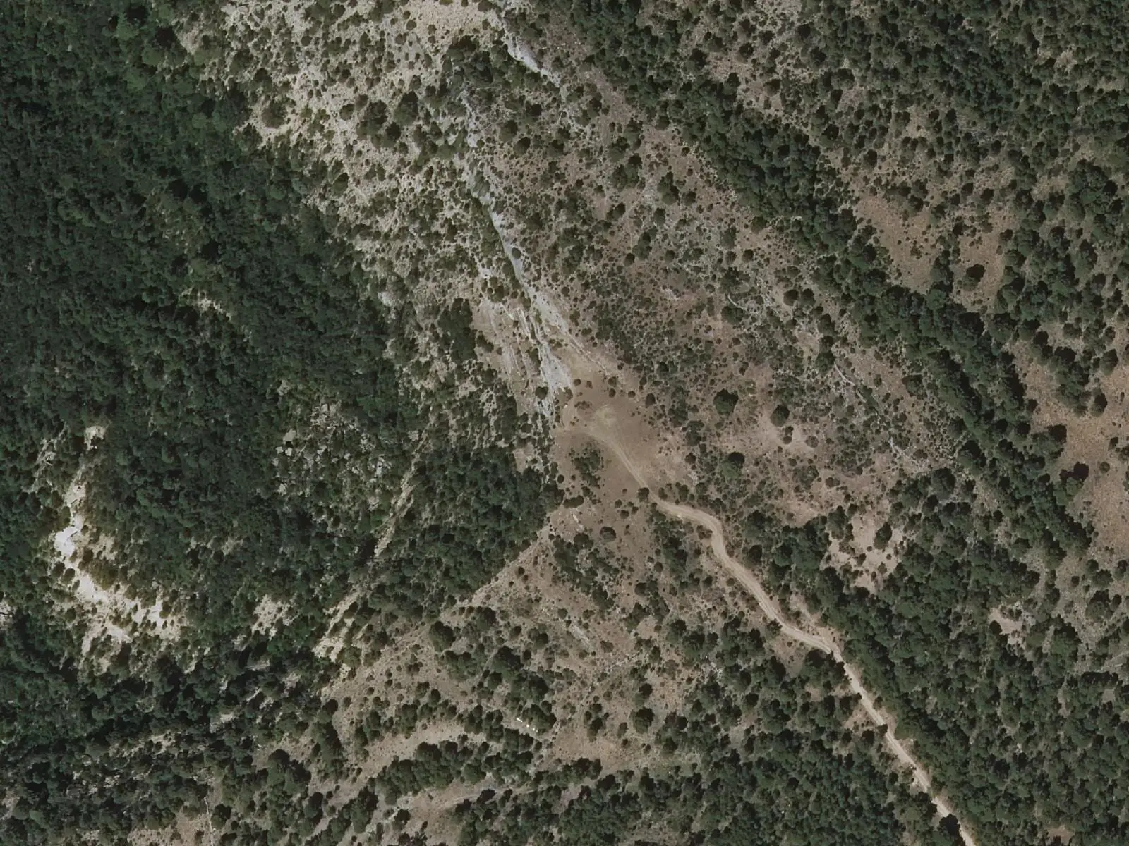
Armentero viewpoint
Beteta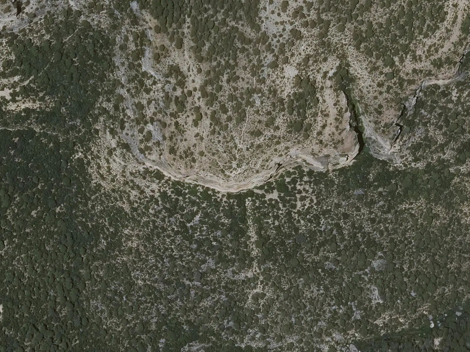
Cruz de Solán viewpoint
Beteta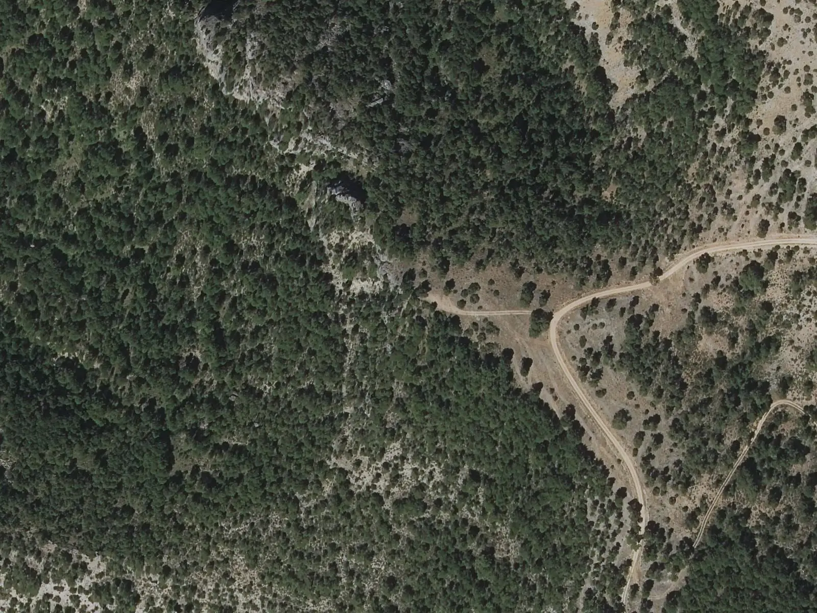
Peña del Águila viewpoint
CarrascosaSee 5 more
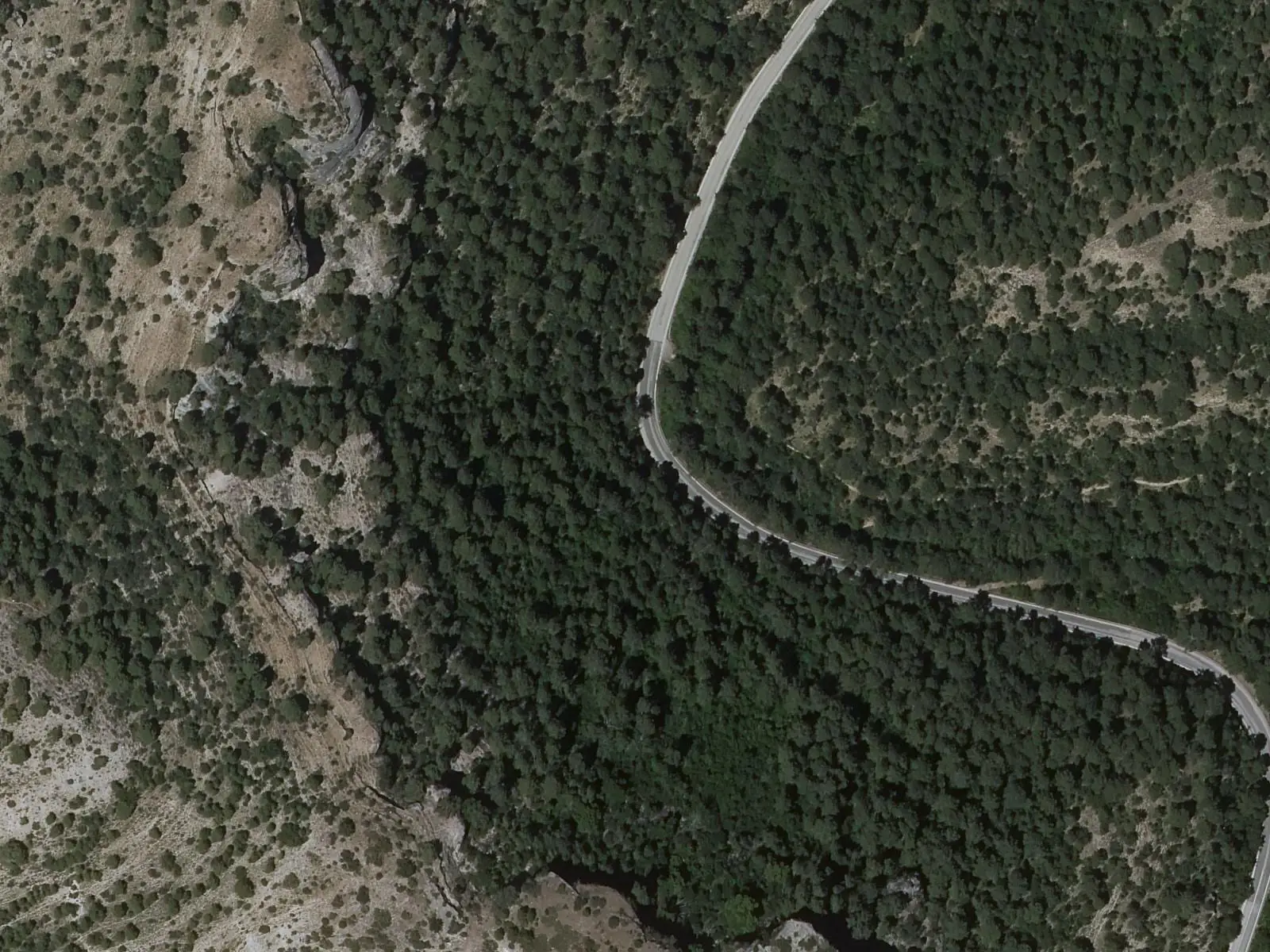
Fuente de los Tilos picnic area
Beteta
Casa de la Pradera picnic area
Beteta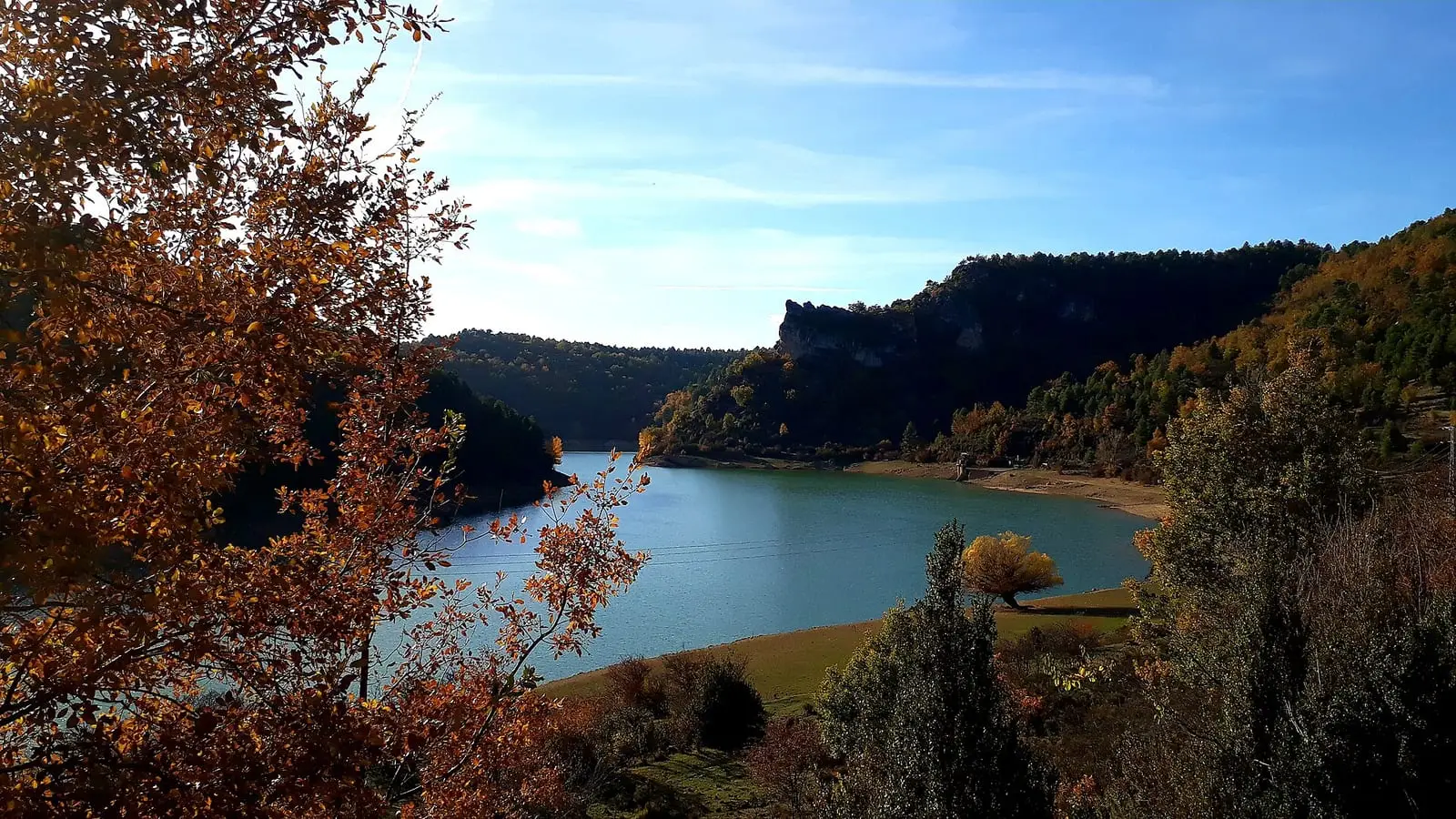
La Tosca reservoir
Santa María del Val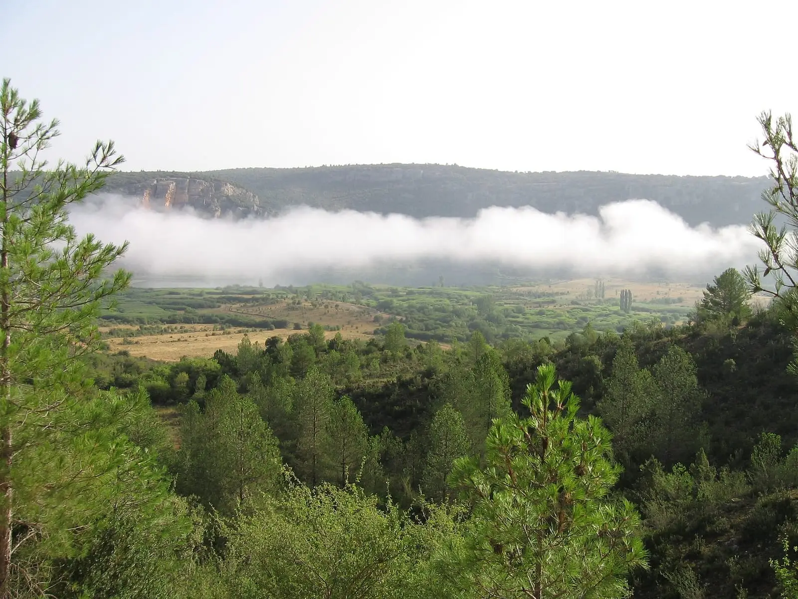
Lagunas de El Tobar
Beteta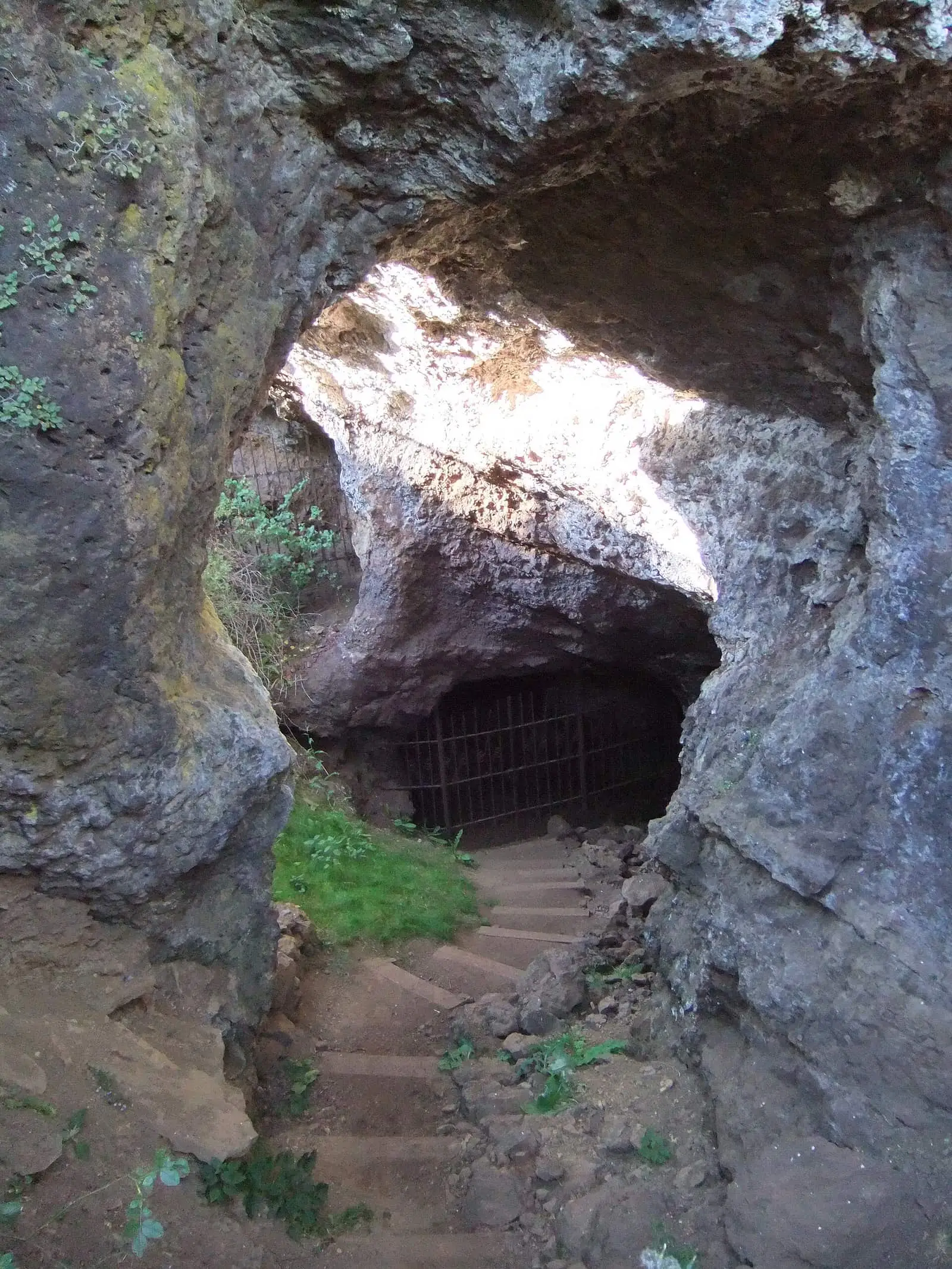
Roman mine of Cueva del Hierro
Cueva del HierroPopulation of Cañizares, 1842–2021
Cañizares reached 900 inhabitants in 1960. The 2021 census counted 430, 52 % fewer. It is the story told in the emptying.
Climate in Cañizares month by month
Averages for the ten years from 2015 to 2024 from the ERA5 reanalysis (Copernicus), for a grid cell with a reference altitude of 1068 m. They are model estimates, not measurements from a local station or thirty-year climate normals.
Source: Copernicus ERA5 via Open-Meteo, CC BY 4.0. Retrieved: 2026-10-09.
Location
● Reference point · ● Villages · ● Places · ━ Routes nearby
Location sketch. The map with paths and names loads as you scroll to it.
Approximate position: village centre.
Reference villages: Fuertescusa · Carrascosa · Cañamares · Beteta.
Open the full map and its historical layers →Where the data on this page come from
- Location
- IGN: Nomenclátor Geográfico Básico de España, capital de municipio (CC BY 4.0) source consulted, 9 October 2026
- Municipality (INE code)
- Turismo de Castilla-La Mancha source consulted, 4 October 2026
- Name
- Turismo de Castilla-La Mancha source consulted, 4 October 2026
«Source consulted»: the primary source has been read. «Reference located»: the source has been identified but not yet read. «Open question»: the figure needs confirmation.