Village · Cuenca
Yémeda
Yémeda is a village in Serranía Baja (lower Serranía), with 17 inhabitants in 2021 compared with 232 in 1930. It lies enclosed in the Cabriel valley, within Natura 2000, 3 km from Cardenete. It separated from Monteagudo de las Salinas before 1887, and in 1878 an application was made to use nearby sulphurous waters.
On this page 8 sections
A village enclosed in the valley
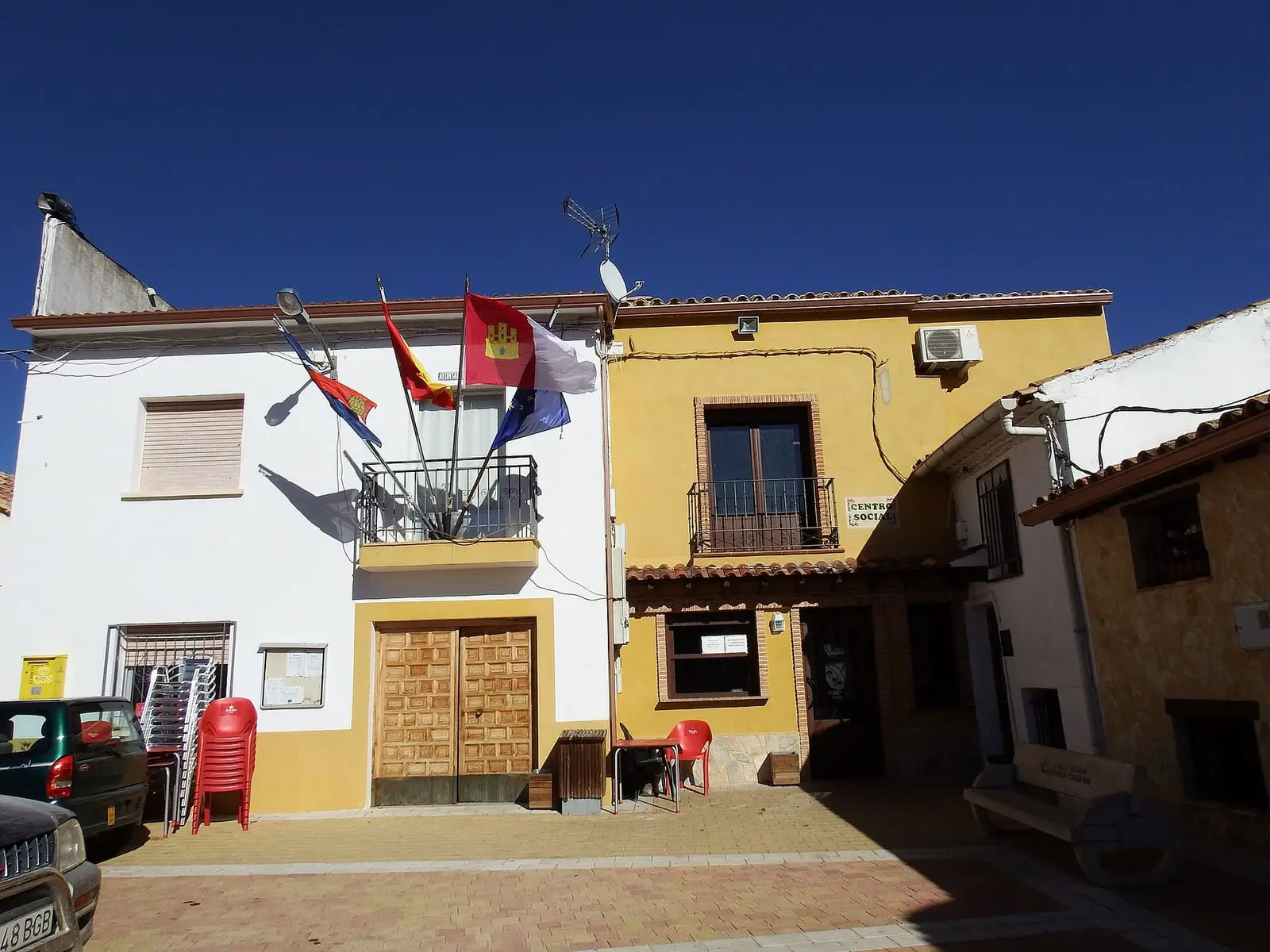
Yémeda lies in the east of the province, in Serranía Baja (lower Serranía), enclosed in the Cabriel valley. It grew beside the river to use its valley fields and woodland: pine woods, steep slopes and riparian forest. The rubble-stone houses follow the slope; the church is the village centre. It is one of the Serranía’s smallest villages.
What trades and memory tell
In the 19th century Yémeda ceased to be a municipality and became part of Monteagudo de las Salinas, until regaining its town council before 1887. In 1878 permission was sought to use nearby sulphurous waters and open a spa.
In 2021 a Cardenete sheep flock still grazed within Yémeda’s municipality, with its shepherd, donkeys and a female dog, using stubble and woodland between the villages.
The baths of Yémeda
The baths made the village known beyond the province. Their cold sulphurous waters emerge at about 16 degrees and were taken for their healing properties; in 1878 they received a prize at the Paris Universal Exhibition. The spa closed to the public much later and was abandoned. In 2015 the owning family handed it to the Town Council for restoration, and the Provincial Council invested about 900,000 euros in a first phase: a basement was built and the second floor begun. But the complex stood in a flood-risk area, the Júcar River Basin Authority refused authorisation, the project was shelved in 2022 and almost two million euros in European funds had to be repaid. In 2022 the guest house and tower remained untouched.
A kilometre from the village, the Guadazaón forms a small waterfall at the Molino del Obispo, among riverside vegetation. Nuestra Señora de los Ángeles church has a Greek-cross plan, and villagers say the San Juan fountain receives sunlight only on 24 June.
Plan your visit
Yémeda takes a short walk, combined with Cardenete.
Before you travel
There are no facilities: bring water and food.
Combine with
Cardenete is 3 km away in a straight line and Víllora 11.5 km.
Frequently asked questions
Where is Yémeda?
In eastern Cuenca province, enclosed in the Cabriel valley in Serranía Baja. Its municipality covers 29.08 km² and is part of Natura 2000 as the «Hoces del Cabriel, Guadazaón y Ojos de Moya» (gorges of the Cabriel, Guadazaón and Ojos de Moya) Site of Community Importance and Special Protection Area.
What does the 1878 Gaceta say?
The Gaceta de Madrid of 7 March 1878 published the application to use the sulphurous waters and establish a spa, which operated and won a prize at that year's Paris Universal Exhibition. It closed to the public much later; an attempt to restore it between 2015 and 2022 was shelved because it stands in a flood-risk area.
How many inhabitants does it have?
17 in the 2021 census. Its peak was 232 in 1930, according to the INE.
Carry on from here
The rivers, zones, eras, places and official routes that the atlas links with Yémeda.
Rivers and basins
Following the water from Yémeda
Follow these watercourses to where they meet, to their villages and to the memories of their basin.
Lands and landscapes
From here, follow the memory of the land
These readings connect Yémeda with the stories, the work and the villages around it.
Near Yémeda

Las Hoyas
La Cierva
Fuente del Royo picnic area
Huerta del Marquesado
Prao de San Roque picnic area
Huerta del MarquesadoSee 5 more
Paisaje Ilustrado of Huerta del Marquesado
Huerta del Marquesado
Fuente de la Ardilla picnic area
Valdemeca
Beamud viewpoint
Beamud
Fuente de los Pastores picnic area
Beamud
Valdemeca Visitor Reception Centre
ValdemecaPopulation of Yémeda, 1842–2021
Yémeda reached 232 inhabitants in 1930. The 2021 census counted 17, 93 % fewer. It is the story told in the emptying.
Location
● Reference point · ● Villages · ● Places · ━ Routes nearby
Location sketch. The map with paths and names loads as you scroll to it.
Approximate position: village centre.
Reference villages: Cardenete · Arguisuelas · Víllora · Enguídanos.
Open the full map and its historical layers →Where the data on this page come from
- Location
- IGN: Nomenclátor Geográfico Básico de España, capital de municipio (CC BY 4.0) source consulted, 9 October 2026
«Source consulted»: the primary source has been read. «Reference located»: the source has been identified but not yet read. «Open question»: the figure needs confirmation.