Route · Vega del Codorno
SL-CU 14: Nacimiento del río Cuervo
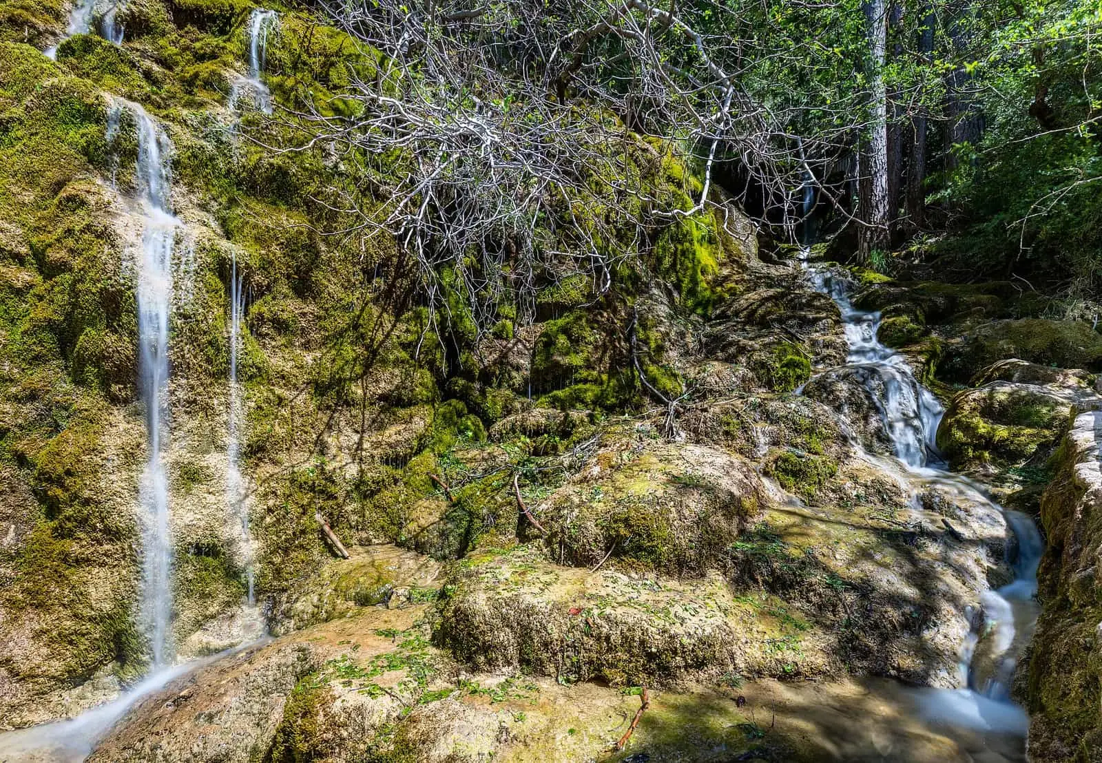
The SL-CU 14, Nacimiento del río Cuervo, is a 2 km circular local trail with 70 m of elevation gain, taking less than an hour, of low difficulty. It leads to the waterfalls on the tufa barrier, reached by boardwalks and ramps, to a viewpoint over the curtain-like tufa, to the flat ground the barrier has formed upstream, and to the source itself, in a cleft in the rock.
- Code
- SL-CU 14
- Distance
- 2 km
- Elevation gain
- 70 m
- Time
- 1.4 h
- Layout
- Circular
- Difficulty
- Easy
Walking time without travel or stops. Difficulty as graded by the official source. «Easy» does not mean accessible.
- SL-CU 14
- Vega del Codorno
- River Cuervo
- Tufa
Where to start
At the car park for the source of the River Cuervo, on the CM-2106, in Vega del Codorno.
The route
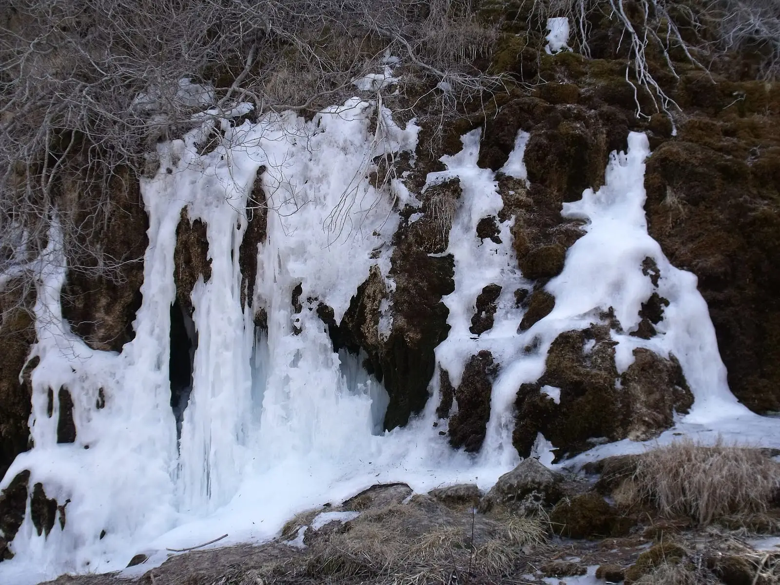
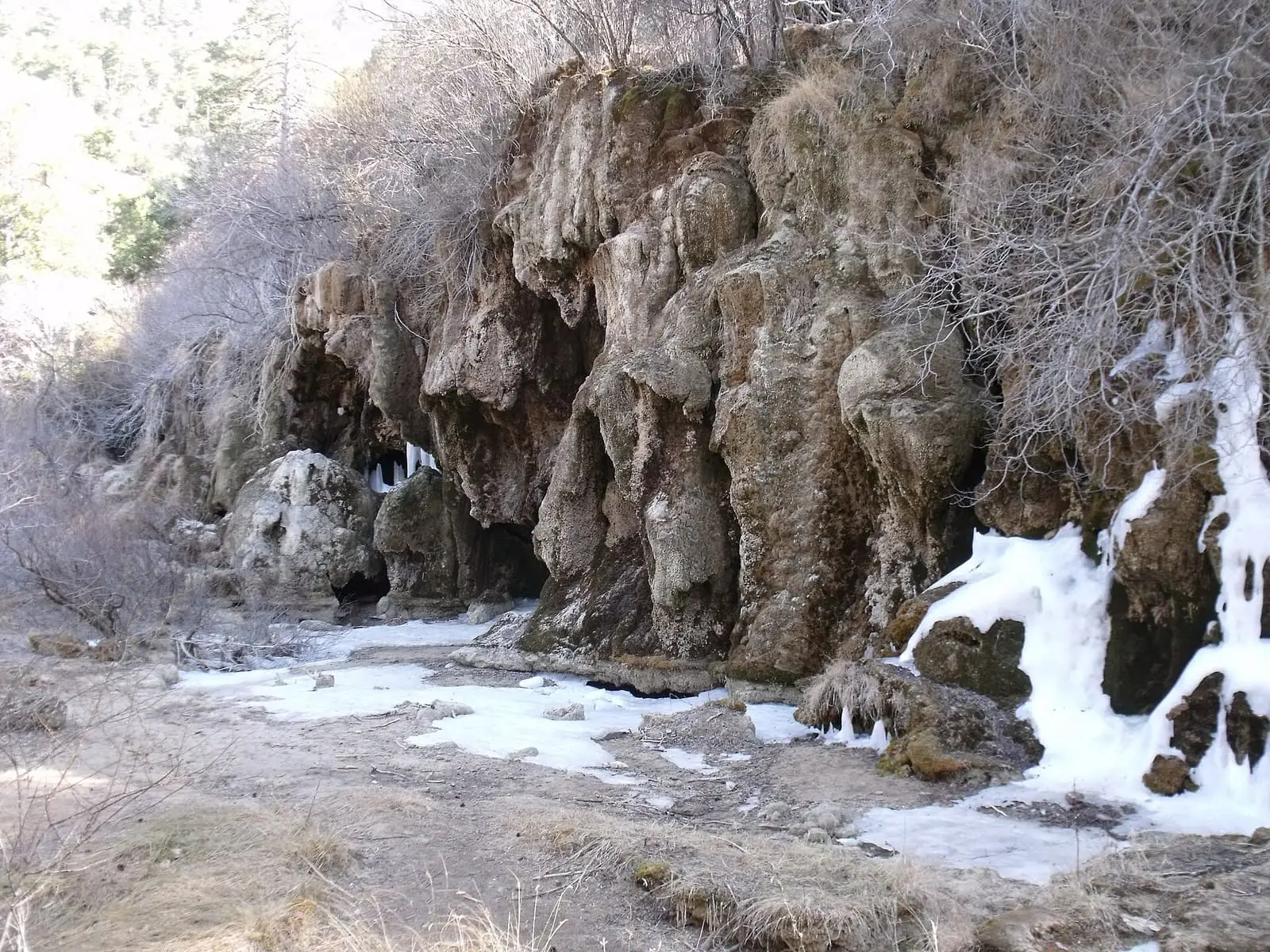
Water, limestone and moss have built tufa barriers here that dam the river. First you reach the waterfalls, which spill over only part of a barrier 300 m long and up to 25 m high; the rest is dry, under the pine forest. A flight of steps climbs to a viewpoint over the wet tufa, hanging like a curtain, and to a still pool. Higher up is the flat ground the barrier has filled in, and at the end the source, a cleft in the rock. From there, a spur of the PR-CU 78 leads to the old shepherds’ rock shelter, and you can return past a peat bog. There are information panels along the way.
Difficulty and time
Circular, 2 km and 70 m of elevation gain, less than an hour according to Senderos de Cuenca. Easy. As far as the waterfalls there are boardwalks and ramps for wheelchairs and pushchairs.
Before you set out
Do not leave the boardwalks or step on the moss-covered tufa. In winter there may be ice.
Official route · Federación de Deportes de Montaña de Castilla-La Mancha y Diputación de Cuenca (Senderos de Cuenca) (SL-CU 14). Description, track and notices on the official route page (in Spanish). Before you set out, check there for changes or closures.


Frequently asked questions
Is it accessible?
The waterfalls can be reached by accessible boardwalks and ramps.
How long does it take?
Less than an hour, according to Senderos de Cuenca; the regional government's route sheet gives 1.4 hours.
Carry on from here
Lands and landscapes
From here, follow the memory of the land
These readings connect Nacimiento del río Cuervo with the stories, the work and the villages around it.
Where it is
● Villages · ● Places · ━ Simplified official route
Location sketch. The map with paths and names loads as you scroll to it.
Reference villages: Vega del Codorno · Tragacete · Poyatos · Santa María del Val.
Open the full map and its historical layers →Where the data on this page come from
- Name
- Diputación Provincial de Cuenca y Federación de Deportes de Montaña de Castilla-La Mancha (según fuentes públicas) source consulted, 5 October 2026
- Junta de Comunidades de Castilla-La Mancha — Red de Áreas Protegidas source consulted, 4 October 2026
- Federación de Deportes de Montaña de Castilla-La Mancha source consulted, 5 October 2026
- Municipality (INE code)
- Diputación Provincial de Cuenca y Federación de Deportes de Montaña de Castilla-La Mancha (según fuentes públicas) source consulted, 5 October 2026
- Junta de Comunidades de Castilla-La Mancha — Red de Áreas Protegidas source consulted, 4 October 2026
- Route data
- Diputación Provincial de Cuenca y Federación de Deportes de Montaña de Castilla-La Mancha (según fuentes públicas) source consulted, 5 October 2026
- Junta de Comunidades de Castilla-La Mancha — Red de Áreas Protegidas source consulted, 4 October 2026
- Federación de Deportes de Montaña de Castilla-La Mancha source consulted, 5 October 2026
«Source consulted»: the primary source has been read. «Reference located»: the source has been identified but not yet read. «Open question»: the figure needs confirmation.