Village · Cuenca · 1,240 m
Poyatos
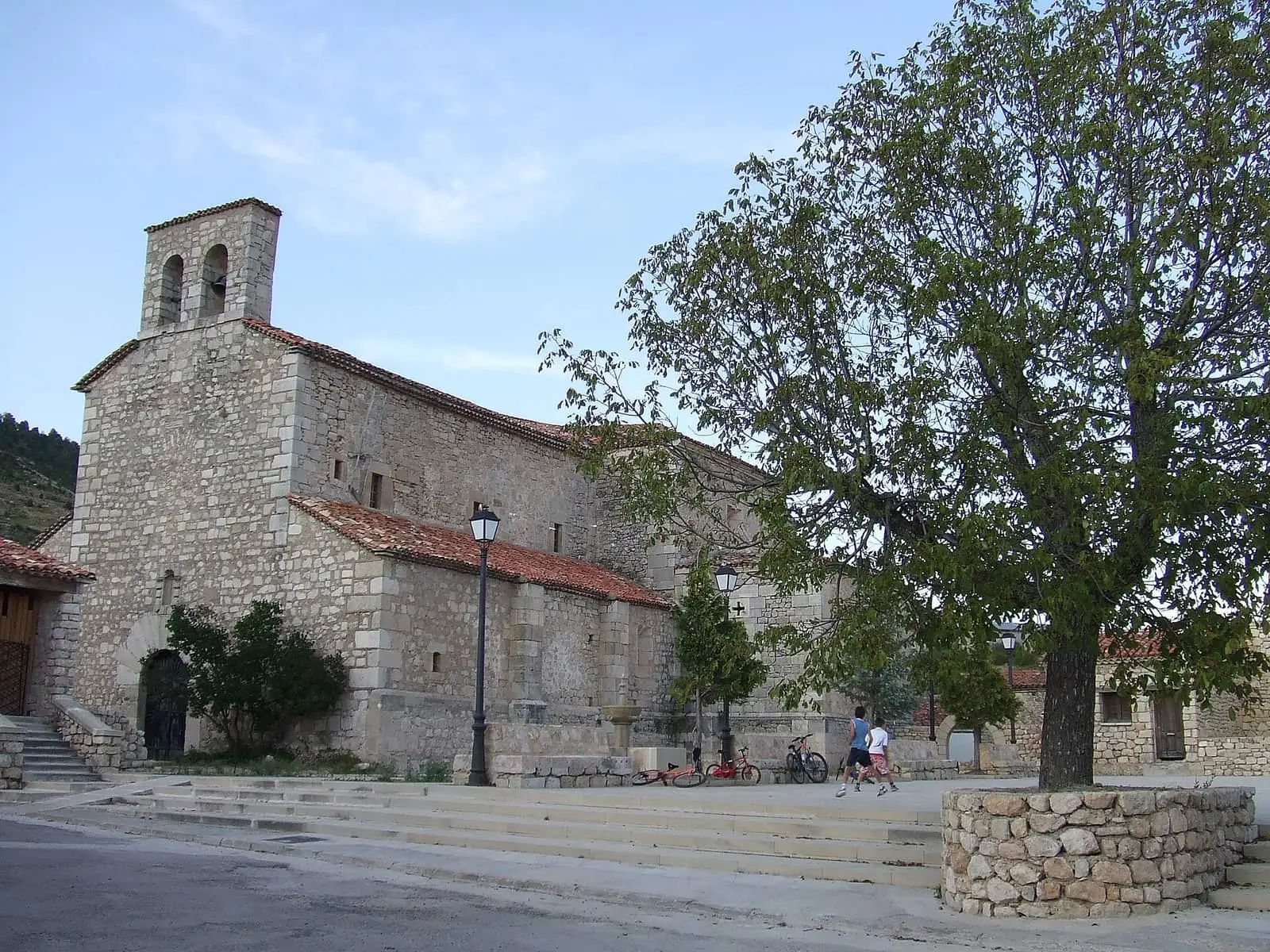
Poyatos is a village in Serranía Alta (upper Serranía), at 1,240 metres above the Escabas ravine, a river worked by river timber drivers. Its centre, designated a historic ensemble in 2001, surrounds a square entered through the Arco del Concejo, with Santa María Magdalena church, a smithy in a tower and a Roman fountain. It had 474 inhabitants in 1887 and 50 in 2021.
On this page 12 sections
A village above the Escabas
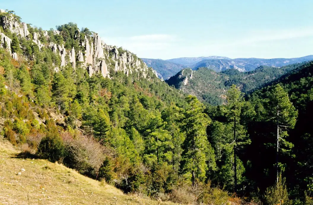
Poyatos lies in Serranía Alta (upper Serranía), at 1,240 metres, on a slope above the Escabas ravine, on the Natural Park’s edge. It is medieval in origin. Access follows the river from Cañamares, through Estrecho del Infierno and Fuertescusa, or comes from Las Majadas along the Hosquillo road to Gustavo Torner’s Monumento a la Madera, where the road divides towards the Cuervo source or Poyatos.
The old centre and its square
Entry is through the Arco del Concejo, dating from the 15th and 16th centuries, the old town gate. Behind lies the square, with a fountain, the Renaissance town hall and its timber balcony, the smithy’s wall and the Gothic and Renaissance church of Santa María Magdalena. The houses of Bishop Don Miguel and Corral de la Mesta also remain. Together they form the Poyatos historic ensemble.
Outside the centre are the Roman fountain and bridges over the Escabas, such as the Barbazoso bridge, a single-span bridge of medieval origin.
What trades and memory tell
Pine logs floated down the Escabas on the spring waters to the Guadiela and Tagus: The gancheros of the Escabas and Guadiela.
The bishop who confirmed St John of God
Around 1490 Miguel Muñoz was born in Poyatos, son of Alonso Sánchez Muñoz and Catalina Guijarro. A Cuenca canon visiting the parish noticed how bright the boy was and gave him a scholarship at his college in Salamanca. He became a doctor of Canon and Civil Law, judge at the Granada Chancery, member of the Council of the Inquisition, bishop of Tuy in 1540, president of the Valladolid Chancery in 1547 and bishop of Cuenca from 1549. In Granada, tradition says, he confirmed a man who had no surname and gave him «de Dios» (of God): St John of God, whom he also clothed in the habit his order still wears. In Cuenca, every Holy Saturday he paid debtors’ debts and freed them from prison, and ended his sermons saying «no sabemos más; perdonadnos, que si más supiéramos, más os dijéramos» (we know no more; forgive us, for if we knew more, we would tell you more). He died in Valladolid in 1553 and is buried in the main chapel of Cuenca cathedral.
In his village he rebuilt the church in Gothic style with Renaissance details; the apse, transept and sacristy remain from that time, with his coat of arms at the sacristy entrance. He founded a chapel for his family and a communal grain store of a thousand fanegas of wheat so that Poyatos would not go hungry in bad years.
The last electricity mill
Around 1925 a generator was installed at the Molino Nuevo or Molino de Abajo, beside the Escabas, bringing electricity to the village. It was the last of Serranía Alta’s small power stations: it stopped milling in the 1950s, the Town Council bought it in 1965 and it continued generating well into the 1980s, when Poyatos joined the grid. In 1982 writer José Serrano Belinchón described a half-dark village, with bulbs glowing like little oil lamps and a television in the bar whose picture was barely visible; the mayor complained that once all the village televisions were switched on, nothing could be seen. Only the mill’s ruins remain.
The Cascada de la Virgen
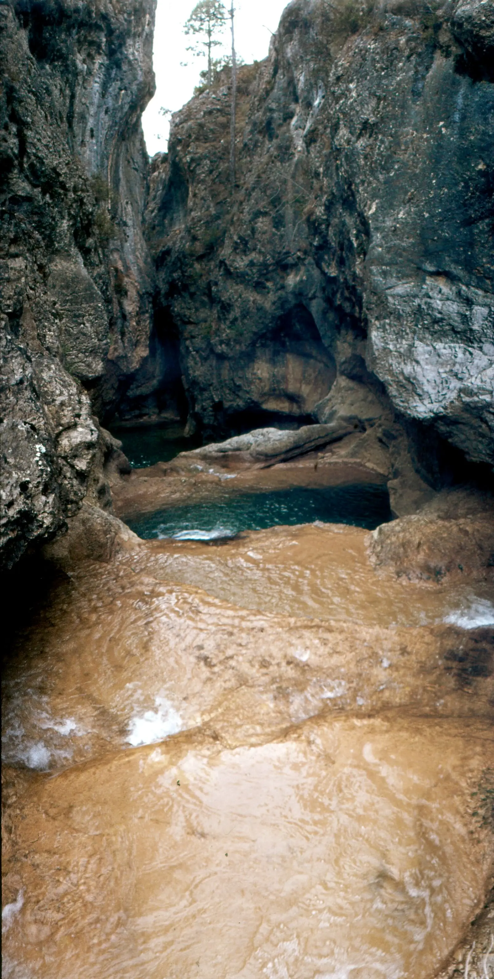
Beside the Barbazoso bridge, restored a few years ago, a tributary stream of the Escabas cuts between limestone, pools and small drops. Above, the Cascada de la Virgen takes its name from tufa shaped like a Virgin with an open mantle; there is no associated legend or pilgrimage. Behind the sheet of water, according to guide Fernando Carreras, is a cave with stalactites, stalagmites and small lakes. It carries little water for most of the year; with snowmelt or heavy rain the fall grows and the stream must not be crossed.
Plan your visit
The village centre takes an hour; Barbazoso bridge and the Escabas gorge fill a morning. Poyatos is within the Serranía de Cuenca Starlight Tourist Destination: it is worth staying until dark.
Before you travel
At this altitude it turns cool even in summer and snows in winter. The road runs between the slope and the ravine: check its condition before driving up.
Combine with
Fresneda de la Sierra is 8.6 km away in a straight line and Santa María del Val 9 km.
From the archive
Frequently asked questions
What is there to see in Poyatos?
The centre, designated a historic ensemble in 2001: Arco del Concejo, once the town gate, the square with its fountain and town hall, the Gothic and Renaissance church of Santa María Magdalena, the smithy in a circular tower and the houses of Bishop Don Miguel and Corral de la Mesta. Outside the village are the Roman fountain and medieval Barbazoso bridge.
Why is the Escabas called a river timber drivers' river?
Pine logs from these mountains floated down it, pushed by river timber drivers towards the Guadiela and Tagus. The trade is described in The gancheros of the Escabas and Guadiela.
How many inhabitants does it have?
50 in the 2021 census. Its peak was 474 in 1887, according to the INE.
Carry on from here
The rivers, zones, eras, places and official routes that the atlas links with Poyatos.
Rivers and basins
Following the water from Poyatos
Follow these watercourses to where they meet, to their villages and to the memories of their basin.
Lands and landscapes
From here, follow the memory of the land
These readings connect Poyatos with the stories, the work and the villages around it.
Places in the municipality and around it
Near Poyatos
Balcón de Pilatos viewpoint
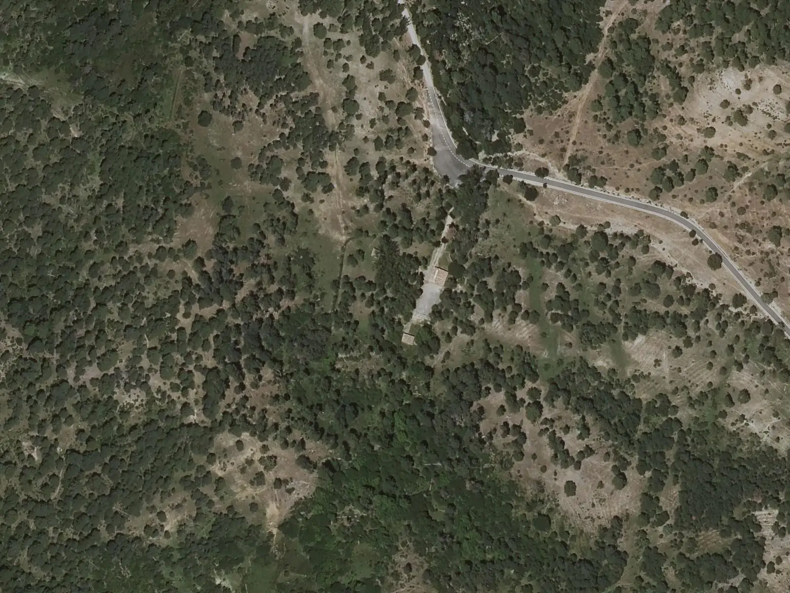
Fuente de la Tía Perra picnic area
Cuenca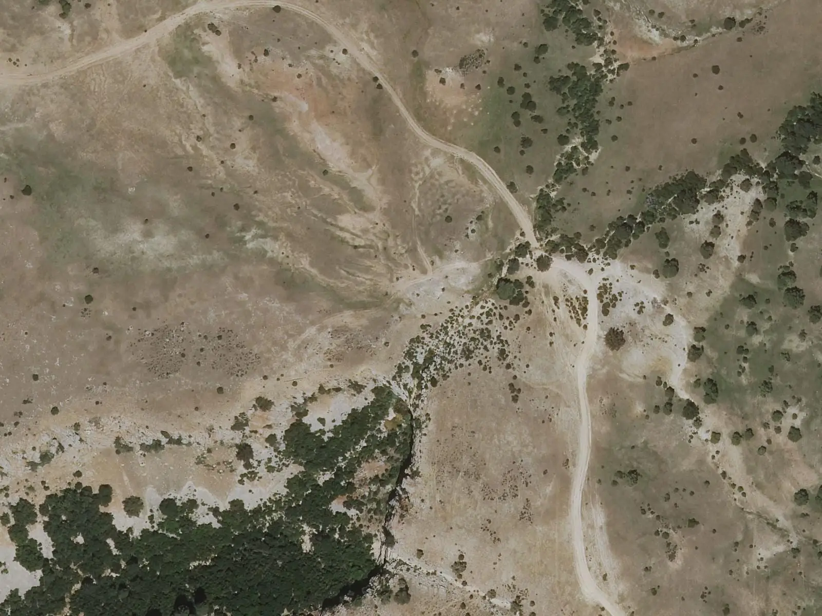
Las Librerías viewpoint
See 5 more
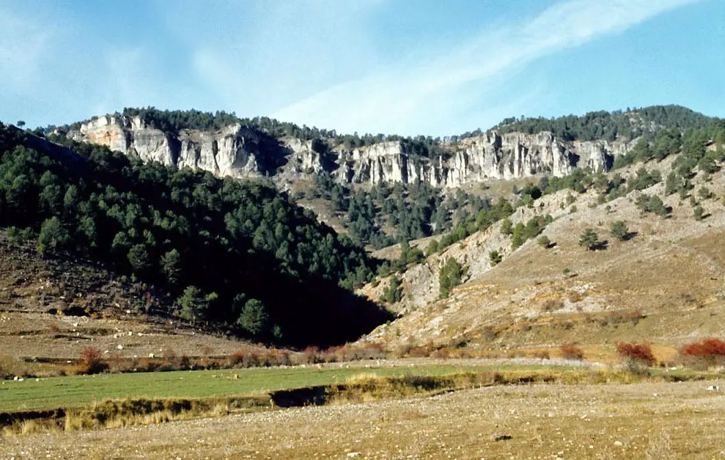
Los Lagunillos picnic area
Cuenca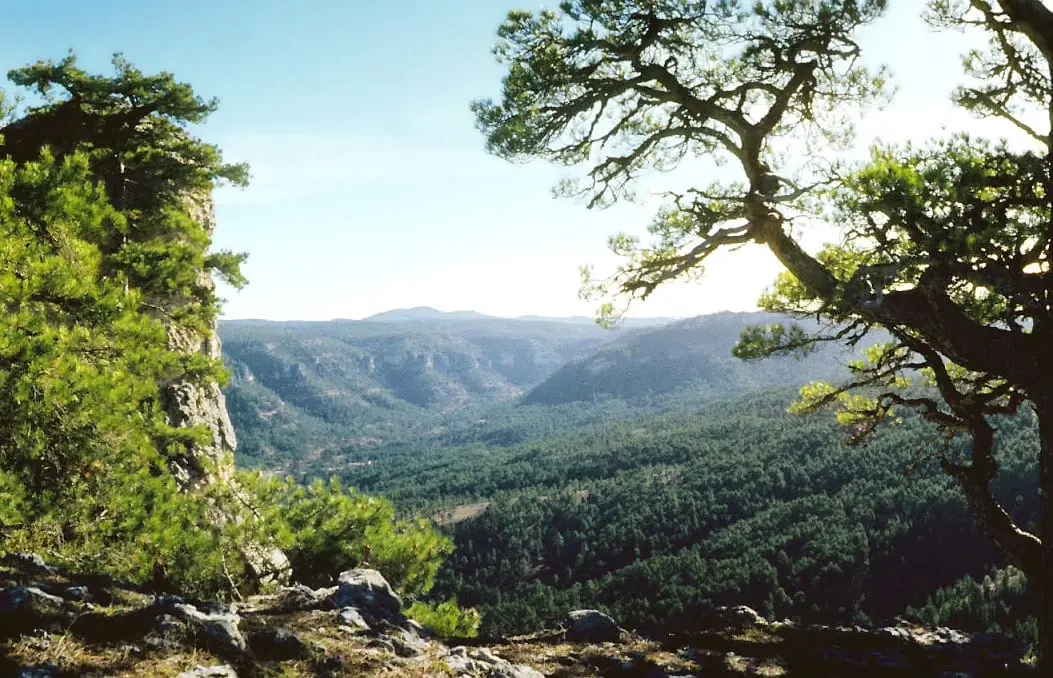
Peña del Reloj viewpoint
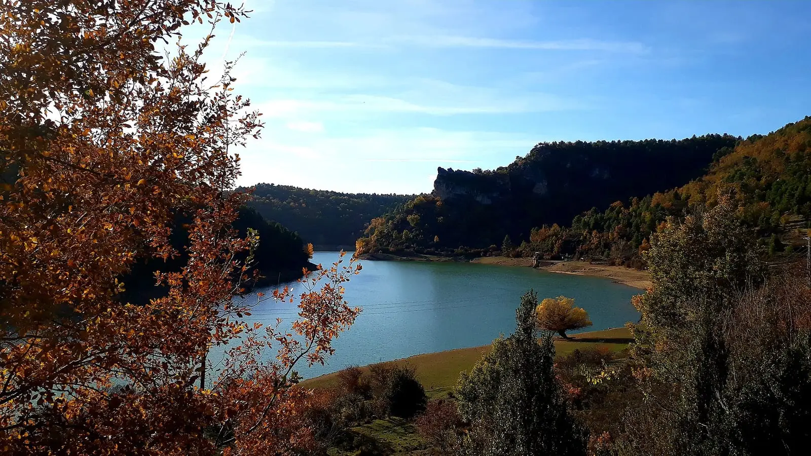
La Tosca reservoir
Santa María del Val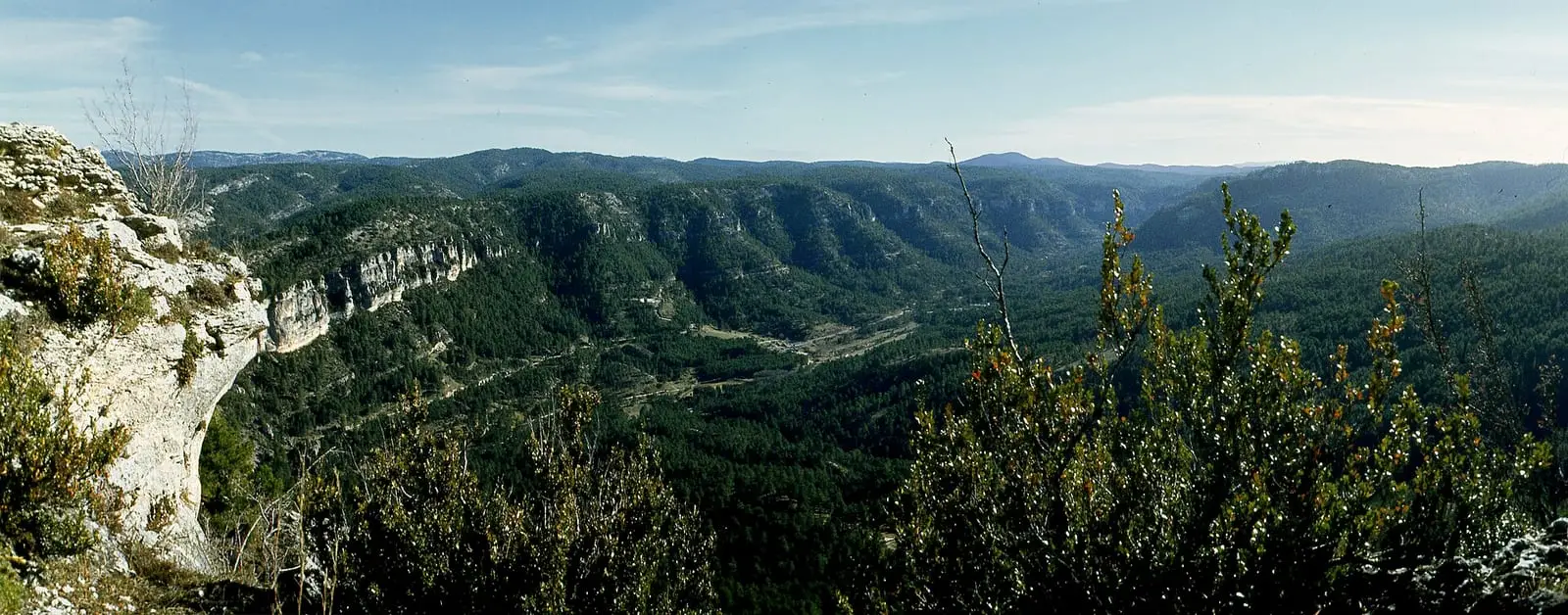
El Hosquillo
Cuenca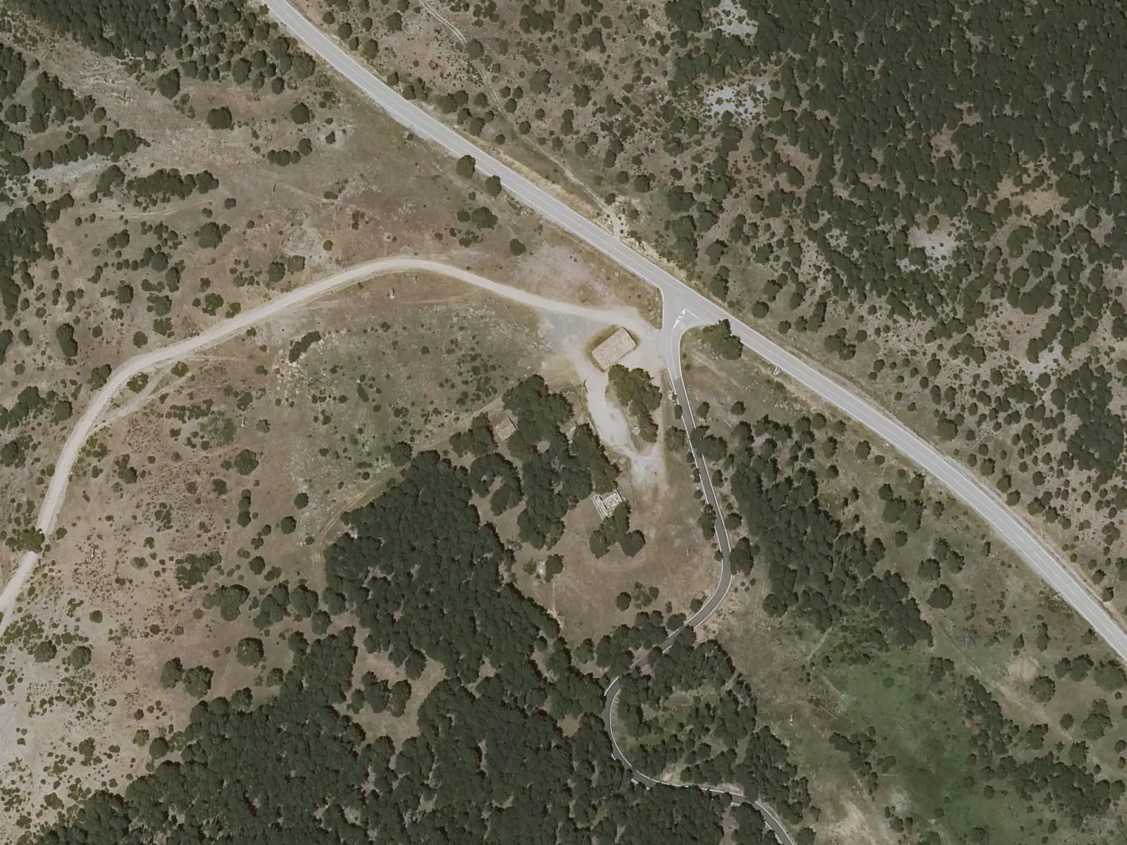
Alto de la Vega picnic area
CuencaPopulation of Poyatos, 1842–2021
Poyatos reached 474 inhabitants in 1887. The 2021 census counted 50, 89 % fewer. It is the story told in the emptying.
Location
● Reference point · ● Villages · ● Places · ━ Routes nearby
Location sketch. The map with paths and names loads as you scroll to it.
Approximate position: village centre.
Reference villages: Fresneda de la Sierra · Santa María del Val · Castillejo-Sierra · Arcos de la Sierra.
Open the full map and its historical layers →Where the data on this page come from
- Location
- IGN: Nomenclátor Geográfico Básico de España, capital de municipio (CC BY 4.0) source consulted, 9 October 2026
- Municipality (INE code)
- Turismo de Castilla-La Mancha source consulted, 4 October 2026
- Cadena SER Cuenca; guía citado Fernando Carreras / EcoExperience source consulted, 5 October 2026
- Name
- Turismo de Castilla-La Mancha source consulted, 4 October 2026
- Cadena SER Cuenca; guía citado Fernando Carreras / EcoExperience source consulted, 5 October 2026
- Altitude
- Cadena SER Cuenca; guía citado Fernando Carreras / EcoExperience source consulted, 5 October 2026
«Source consulted»: the primary source has been read. «Reference located»: the source has been identified but not yet read. «Open question»: the figure needs confirmation.