Natural Monument
Nacimiento del río Cuervo Natural Monument
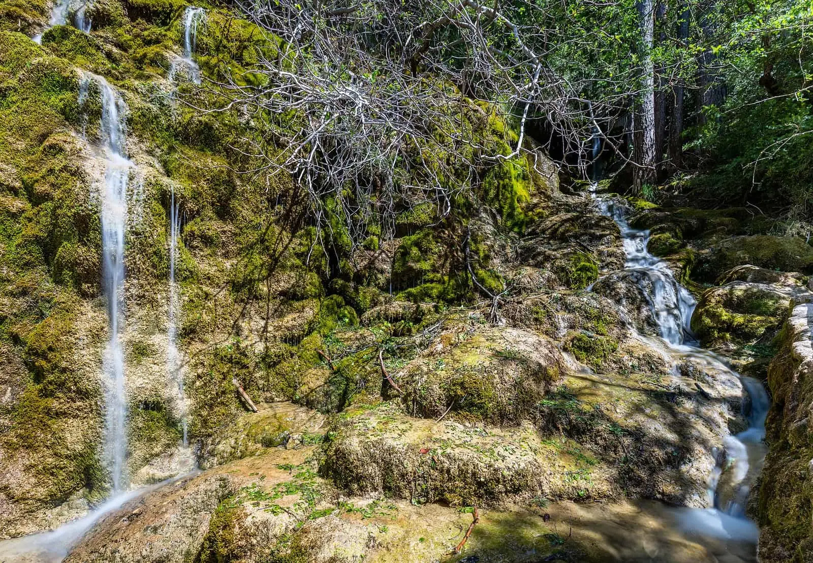
The Nacimiento del río Cuervo Natural Monument covers 1,709 hectares of the municipality of Cuenca, beside Vega del Codorno, and was designated by Decree 229/1999. Its emblem is a tufa barrier 300 m long and up to 25 m high, and a spring in the rock that supplies the Cuervo almost all year.
- Designation
- Natural Monument
- Legal basis
- Decreto 229/1999, de 30 de noviembre
- Area
- 1,709 ha
- Municipalities
- 2
- Natural Monument
- River Cuervo
- Tufa
- Spring
- SL-CU 14
A river emerging from rock
The Cuervo emerges beside Vega del Codorno, below the Muela de San Felipe, at about 1,490 metres. Water filters through limestone, runs through passages and emerges loaded with lime, which it deposits as tufa. This has built a barrier 300 metres long and up to 25 high, damming the river and forming the waterfalls.
The Natural Monument covers 1,709 hectares.
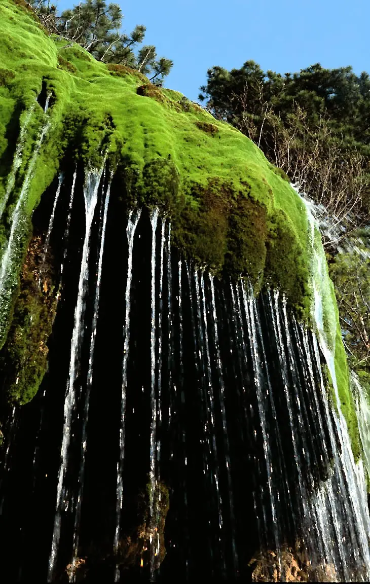
Guide Fernando Carreras distinguishes two things often confused: the spring, which he says flows all year, and the curtain of water over the tufa, which depends on how much the aquifer has recharged and how the water is distributed. A photograph of a major flood may bear no resemblance to what can be seen a few weeks later. Nearby, behind Vega del Codorno’s last neighbourhoods, the Arroyo de la Tobilla falls over another barrier of tufa and moss that, in high water, is heard before it is seen.
Plan your visit
The SL-CU 14 local trail passes the waterfalls, a viewpoint over the curtain-like tufa, the still pool and flat ground filled in by the barrier, and ends at the source. The PR-CU 78 short-distance trail leads to the rock shelter and a peat bog, and climbs to the muela, a flat-topped limestone hill.
Before you travel
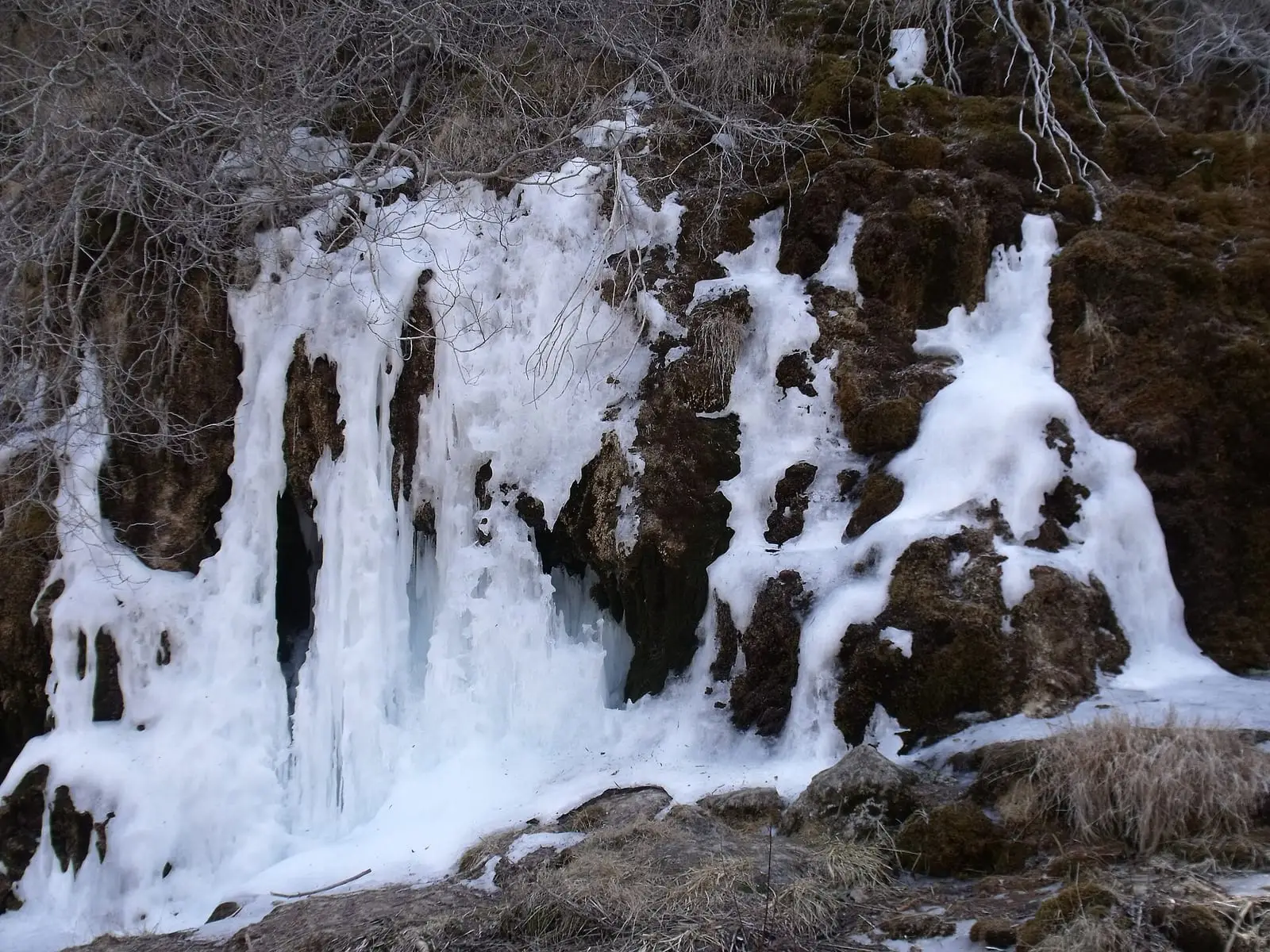
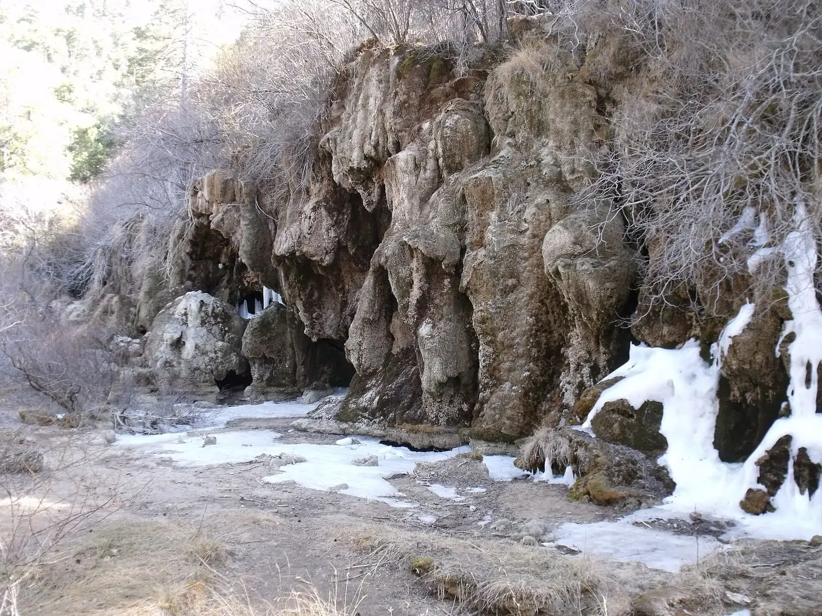
Tufa is fragile: view it from the boardwalks, without stepping on it or pulling off moss. In winter it freezes.
Combine with
The source has its own entry, and the interpretation centre is nearby.


From the archive
Frequently asked questions
What can be seen?
The waterfalls on the tufa barrier, accessible by boardwalks and ramps; a viewpoint over the curtain-like tufa; the flat ground formed by the barrier upstream; and the source in a cleft in the rock.
How is it visited?
Along the SL-CU 14 local trail, 2 km, 70 m of elevation gain and 1.4 hours; a spur of the PR-CU 78 short-distance trail leads to the rock shelter.
Carry on from here
Lands and landscapes
From here, follow the memory of the land
These readings connect Nacimiento del río Cuervo Natural Monument with the stories, the work and the villages around it.
Which municipalities it covers
Where the data on this page come from
- Name
- Junta de Castilla-La Mancha, Red de Áreas Protegidas: Monumento Natural Nacimiento del río Cuervo (ficha) source consulted, 5 October 2026
- Designation and legal basis
- Junta de Castilla-La Mancha, Red de Áreas Protegidas: Monumento Natural Nacimiento del río Cuervo (ficha) source consulted, 5 October 2026
«Source consulted»: the primary source has been read. «Reference located»: the source has been identified but not yet read. «Open question»: the figure needs confirmation.
altotajo.es, the sister atlas of the Alto Tajo, also has a page on Nacimiento del río Cuervo Natural Monument.