Water · Vega del Codorno
Nacimiento del río Cuervo Natural Monument
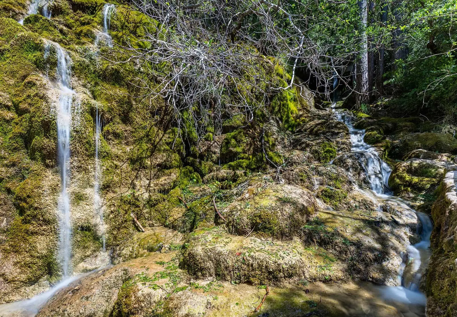
The Cuervo's source in Vega del Codorno is a spring emerging from a rock fissure at the end of a tufa barrier 300 m long and up to 25 m high. It is the area's main spring and feeds the river almost all year. The 2 km SL-CU 14 trail leads to the cascades and source.
- Municipality
- Vega del Codorno
- River Cuervo
- Source
- Tufa
- SL-CU 14
A tufa dam
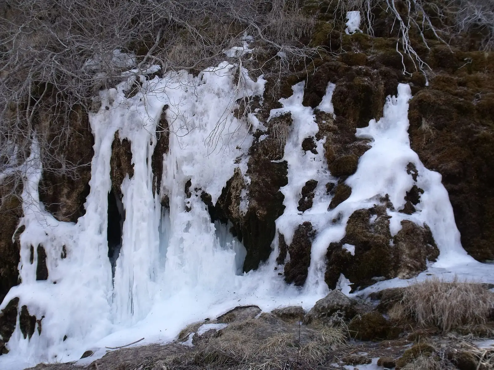
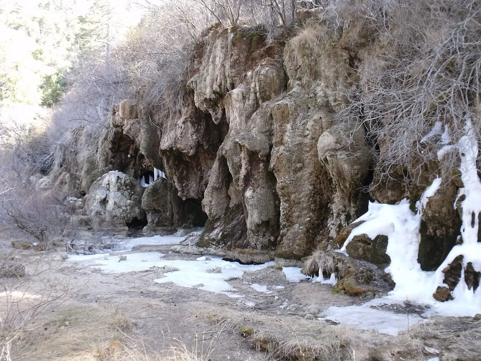
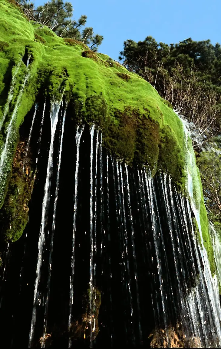
Water, limestone and moss build tufa barriers here, damming the channel. The main one is around 300 metres long and reaches 25 metres high. Water falls over only part of it: the rest is dry, beneath the pine forest. From a viewpoint at the end of a flight of steps, the wet tufa can be seen close up, hanging like a curtain, with the pool formed by the river before it falls. Higher up is a flat open area, the floor of the water once held back by the barrier.
The source
At the end of the trail, the Cuervo emerges from a rock fissure. It is the area’s main spring and supplies the river almost all year. From the open area, a spur of the PR-CU 78, a PR (short-distance trail), leads around 200 metres to the small cave where the barrier ends.
Plan your visit
The SL-CU 14, an SL (local trail), is an easy 2 km circuit with summer shade. The first 500 metres, to the main cascade, have walkways and ramps for wheelchairs and pushchairs. Returning along the short-distance trail passes a peat bog and adds a quarter of an hour. There is free parking beside the CM-2106.
Before you travel
Moss-covered tufa is the most vulnerable feature: walk only on the walkways and paths, without crossing the barriers.
Combine with
The interpretation centre, the Natural Monument and the village of Vega del Codorno.


From the archive
Frequently asked questions
How do you get there?
On the SL-CU 14, a 1.9 km circular trail of low difficulty taking under two hours. The cascades are accessible via walkways and ramps.
What is beyond the source?
A spur of the PR-CU 78 leads 200 m to the small cave where the tufa barrier ends.
Carry on from here
Lands and landscapes
From here, follow the memory of the land
These readings connect Nacimiento del río Cuervo Natural Monument with the stories, the work and the villages around it.
This place through time
Which eras you can read here
A single place can keep traces of several periods. These layers connect what you see with the atlas's stories.
Where it is
Where the data on this page come from
- Name
- Turismo de Cuenca / Ayuntamiento de Cuenca source consulted, 4 October 2026
- Ayuntamiento de Huerta del Marquesado source consulted, 5 October 2026
- Iniciativa Sistema Ibérico Sur / Rewilding España source consulted, 5 October 2026
- Instituto Geológico y Minero de España: «Inventario Español de Lugares de Interés Geológico: IB085 Nacimiento del río Cuervo» (2013) source consulted
«Source consulted»: the primary source has been read. «Reference located»: the source has been identified but not yet read. «Open question»: the figure needs confirmation.