Castle · Cañete
Cañete castle
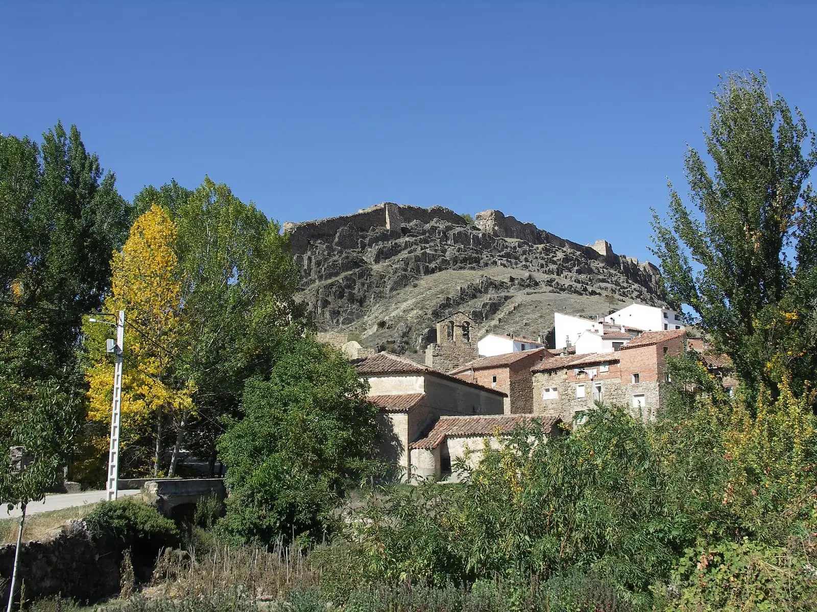
Cañete castle stands about a hundred metres above the town, in a long, narrow hilltop fortress enclosure. Castilla-La Mancha Tourism considers it the province's only large Islamic-period enclosure still standing and dates it to the 10th and 11th centuries, without excavation confirming this.
- Municipality
- Cañete
- Altitude
- 1,170 m
- Castle
- Cañete
- Islamic fortress
- Historic ensemble
Above the town’s hill
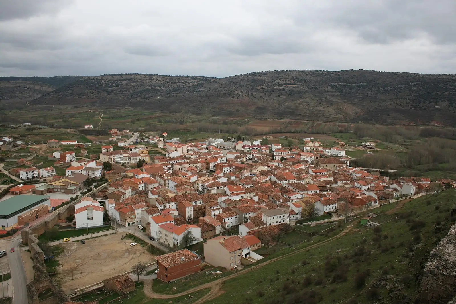
The castle overlooks Cañete from a hill a hundred metres above the houses. A long, narrow hilltop fortress, divided in three by internal walls: the oldest part in the centre, with keep remains, and the courtyard to the south. The towers have Islamic fabric and 15th-century alterations. From both ends descend the walls enclosing the town. It is the province’s only large Islamic-period enclosure still standing.
The fortress through the centuries
The citadel and walls were built between the 9th and 11th centuries, perhaps when Abderramán III sought to control the district. Christians arrived in the late 12th century, and in 1187 Cañete passed to Castile. It received Moya’s town charter in 1218, became a dependent village of Moya in 1222, and in 1285 Sancho IV granted it town status.
It had prominent lords, including Pedro de Molina, a Manrique de Lara and Álvaro de Luna, constable of Castile, and in 1490 the Catholic Monarchs made it a marquisate. During the First Carlist War, between 1834 and 1837, Cabrera held it until the queen’s troops retook it.
The whole walled enclosure has been a Bien de Interés Cultural (Spain’s highest heritage listing) since 1996.
Plan your visit
Visit as an archaeological site and viewpoint over the town.
Before you travel
View the ruins without climbing the walls. Ask the town hall about access.
Combine with
Then descend to the centre and explore from gate to gate: Puerta de las Eras, Plaza Mayor and El Postigo.

Frequently asked questions
What is it like?
It has three spaces separated by internal walls: the central, oldest part, with keep remains, and the courtyard to the south. The towers show phases from Islamic times to 15th-century alterations.
Can it be visited?
It is visited as an archaeological site and viewpoint. Confirm access with the town hall.
Carry on from here
Lands and landscapes
From here, follow the memory of the land
These readings connect Cañete castle with the stories, the work and the villages around it.
This place through time
Which eras you can read here
A single place can keep traces of several periods. These layers connect what you see with the atlas's stories.
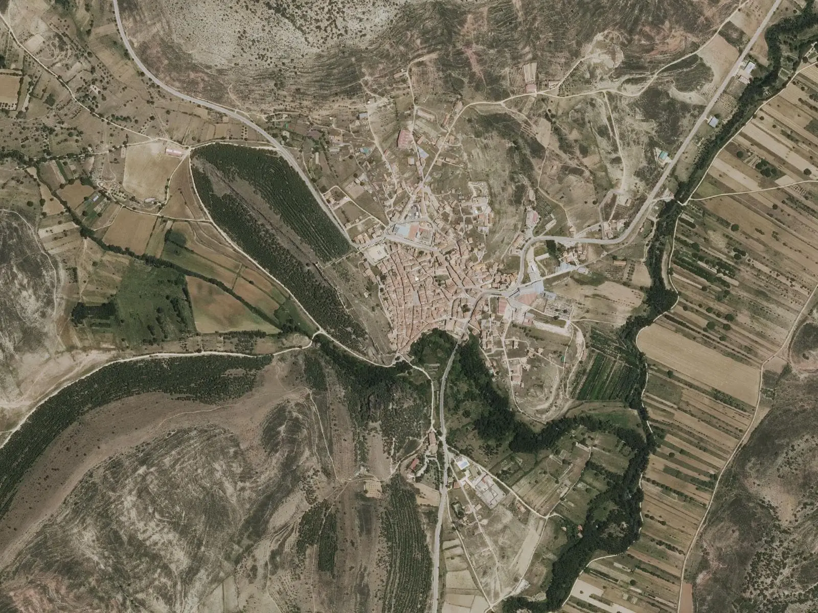
Where it is
Where the data on this page come from
- Name
- Turismo de Castilla-La Mancha source consulted, 4 October 2026
- Ayuntamiento de Cañete source consulted, 5 October 2026
- Junta de Comunidades de Castilla-La Mancha: «Decreto 46/1996, de 16 de abril, por el que se declara Bien de Interés Cultural, con categoría de Conjunto Histórico, el Recinto Amurallado de Cañete» (1996) source consulted
- Junta de Comunidades de Castilla-La Mancha. Consejería de Educación, Cultura y Deportes: «Conjunto Histórico de Cañete» source consulted
- Ministerio de Educación Nacional: «Decreto de 22 de abril de 1949 sobre protección de los castillos españoles» (1949) source consulted
- Jefatura del Estado: «Ley 16/1985, de 25 de junio, del Patrimonio Histórico Español» (1985) source consulted
- Altitude
- Ayuntamiento de Cañete source consulted, 5 October 2026
- Municipality (INE code)
- Ayuntamiento de Cañete source consulted, 5 October 2026
- Junta de Comunidades de Castilla-La Mancha: «Decreto 46/1996, de 16 de abril, por el que se declara Bien de Interés Cultural, con categoría de Conjunto Histórico, el Recinto Amurallado de Cañete» (1996) source consulted
- Junta de Comunidades de Castilla-La Mancha. Consejería de Educación, Cultura y Deportes: «Conjunto Histórico de Cañete» source consulted
- Ministerio de Educación Nacional: «Decreto de 22 de abril de 1949 sobre protección de los castillos españoles» (1949) source consulted
- Jefatura del Estado: «Ley 16/1985, de 25 de junio, del Patrimonio Histórico Español» (1985) source consulted
«Source consulted»: the primary source has been read. «Reference located»: the source has been identified but not yet read. «Open question»: the figure needs confirmation.