Castle · Cañete
Walls of Cañete
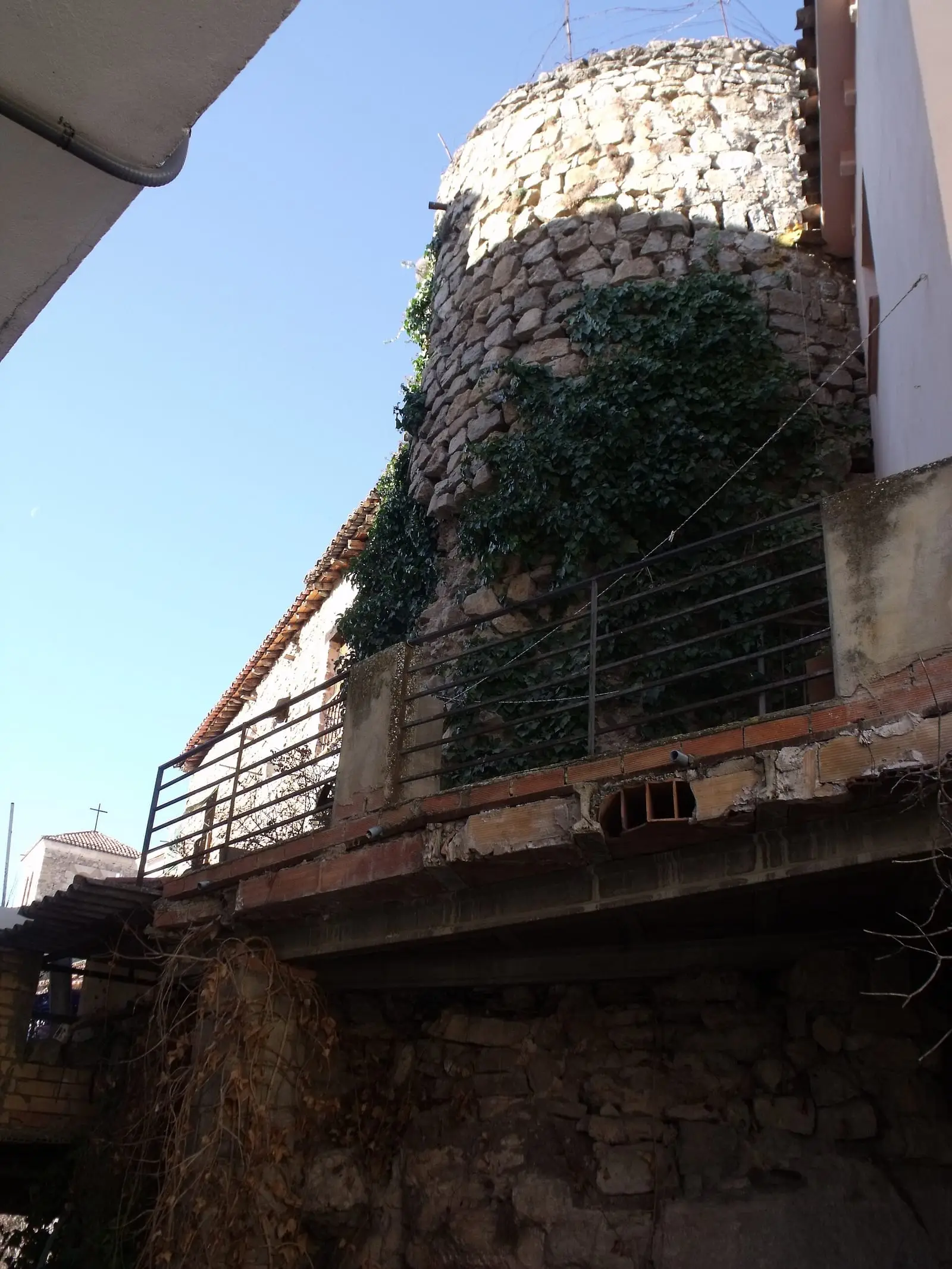
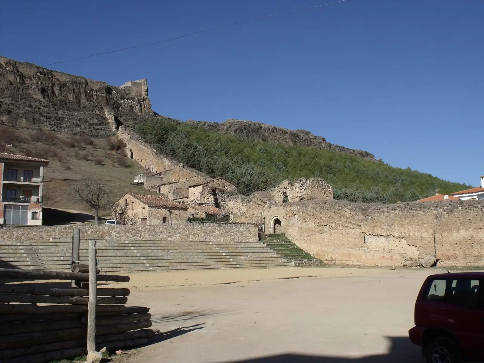
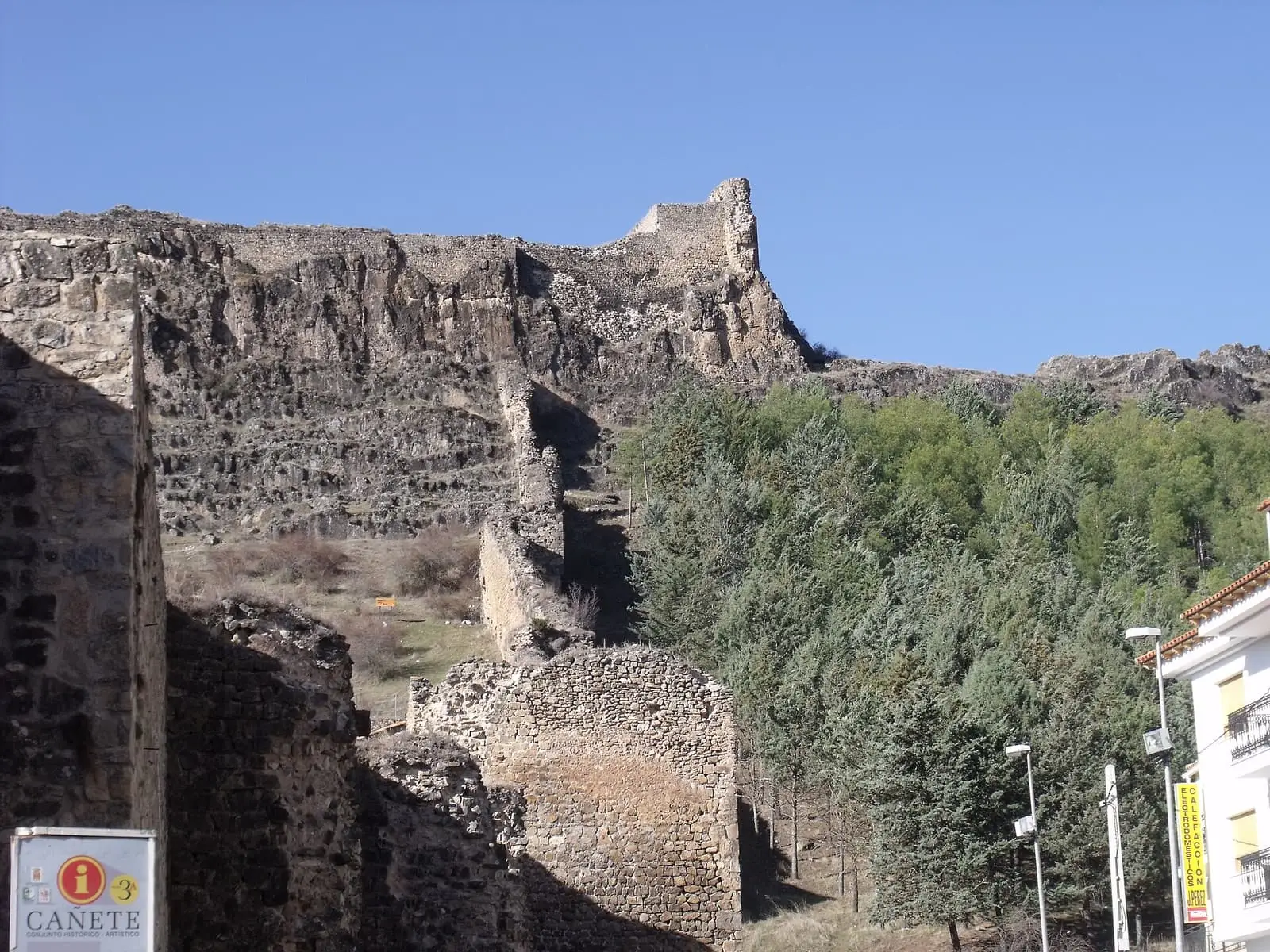
Cañete's town wall is the most notable Muslim wall in the province of Cuenca and a good example of Islamic fortification. Built in a single campaign in the mid-10th century, at the height of the Caliphate of Córdoba, it is around 5 metres high and 2 thick. It survives almost complete, although it has lost its wall-walk and parapet.
- Municipality
- Cañete
- Town wall
- Caliphate of Córdoba
- Cañete
- Islamic fortification
- Puerta de las Eras
A wall built in one campaign
The wall of Cañete is an Islamic work of the mid-10th century, from the height of the Caliphate of Córdoba. It was built in a single campaign to one design, hence its uniformity. It closely resembles the almost contemporary wall at Uclés; perhaps both were built by the same builder, an engineer of Abderramán III, after the subjugation of the Berbers of the Santaver district.
An enclosure using the terrain
It starts at both ends of the castle, descends the hill and surrounds the village, using changes in elevation, rocky ridges and the channel of the River de la Virgen. Old Cañete always fitted inside; only modern growth extended beyond it. It is around 5 metres high and 2 thick, built of carefully laid rubble stone. It has almost no towers: its zigzag, sawtooth course allowed each stretch to be defended from the next. Only at sharp turns are there round towers, probably added after the Christian conquest.
It has two gates, Las Eras and San Bartolomé, and three posterns, all still standing. It survives almost complete, although houses have been built against some stretches and almost all its wall-walk and battlements have gone. It has been a Bien de Interés Cultural (Spain’s highest heritage listing) since 1996.
Plan your visit
Before you travel
Follow it from outside, without climbing onto the walls.
Combine with
The Las Eras, San Bartolomé and La Virgen gates, and El Postigo.


Frequently asked questions
When were they built?
In the mid-10th century, in a single campaign with a unified design. They are linked to the almost contemporary and very similar Uclés wall, and attributed to the same builder, perhaps a military engineer of Caliph Abderramán al-Nasir.
What is their course?
They start at both ends of the castle, descend the hill and surround the settlement, using changes in elevation, rocky ridges and the River de la Virgen's channel. There are two main entrances, the Las Eras and San Bartolomé gates, and three posterns.
Carry on from here
Lands and landscapes
From here, follow the memory of the land
These readings connect Walls of Cañete with the stories, the work and the villages around it.
Where it is
Where the data on this page come from
- Name
- Ayuntamiento de Cañete source consulted, 5 October 2026
- Municipality (INE code)
- Ayuntamiento de Cañete source consulted, 5 October 2026
«Source consulted»: the primary source has been read. «Reference located»: the source has been identified but not yet read. «Open question»: the figure needs confirmation.