Castle · Salvacañete
Torrefuerte castle in Salvacañete
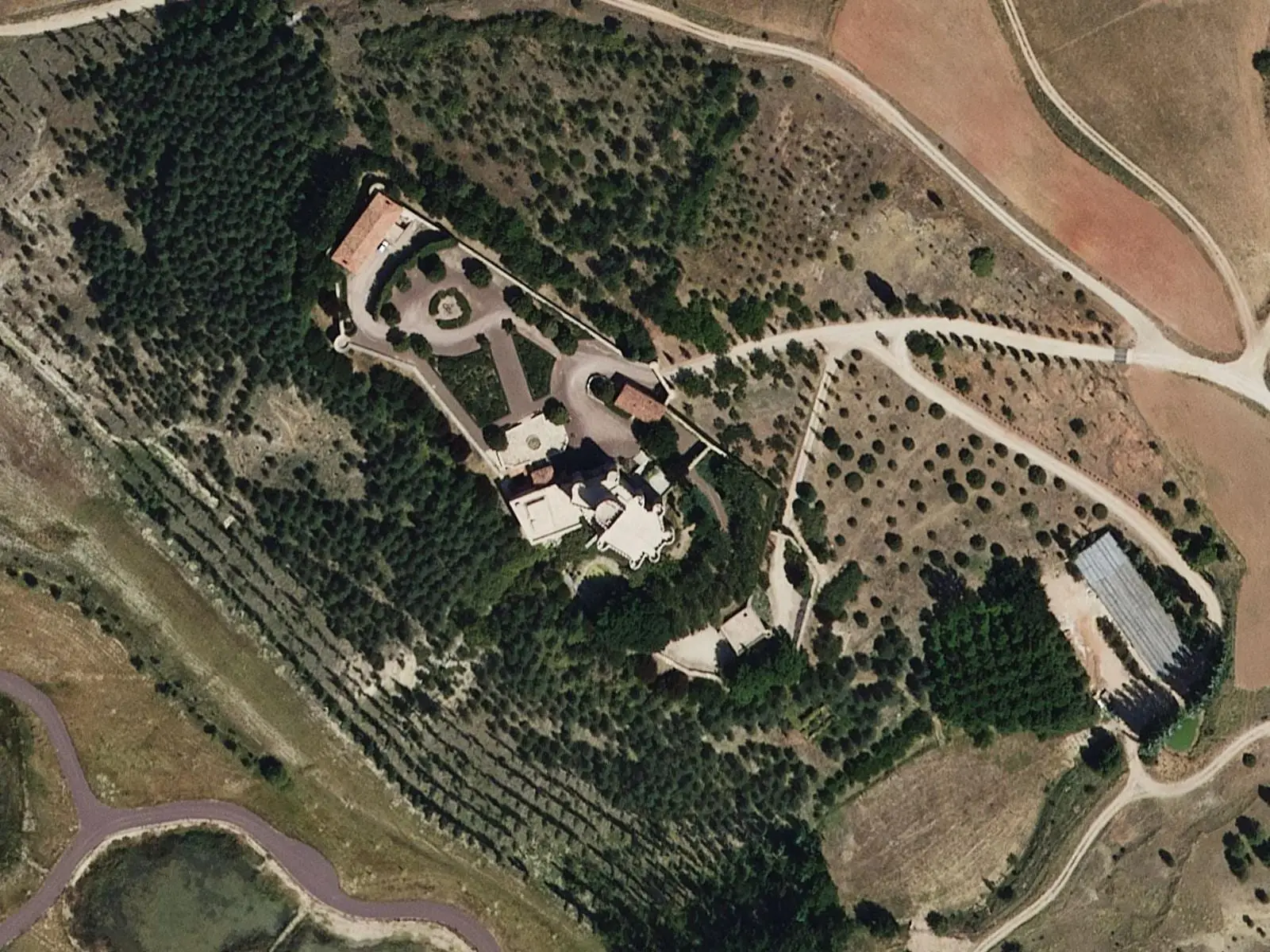
Torrefuerte castle, within Salvacañete, is a 13th-century Christian fortress remodelled in the 15th, on a mound. Without an outer wall, it consists of a square central tower reinforced by round corner turrets, with gunports and adjoining homes. It is very well preserved and a private home.
- Municipality
- Salvacañete
- Castle
- Torrefuerte
- Salvacañete
- Juan Pacheco
- Middle Ages
An unusual castle: without an outer wall, it is entirely a square rubble-stone tower, with complete circular turrets at its corners, numerous gunports and decorative roll mouldings. Homes adjoin it. It stands on a mound within Salvacañete.
Built in the 13th century, it was altered in the 15th, when Juan Pacheco, first Marquis of Villena, and Lope de Alarcón held it; in the 18th it passed to the Counts of Siruela. It is very well preserved.
Descriptions differ: on the radio, a popular-history writer from CuenCANP describes a 15th-century D-shaped tower, linked to the passage between Valencia and Aragón, transhumance and memory of El Cid. This may be another description of the same building or a confusion; it remains to be checked. It stands on a private estate.
Plan your visit
Before you travel
It is a private home: view it from outside without entering the estate.
Combine with
Salvacañete and the upper Cabriel.
Frequently asked questions
Can you enter?
No: privately owned and used as a home. View it from outside; several local paths reach it.
Carry on from here
Lands and landscapes
From here, follow the memory of the land
These readings connect Torrefuerte castle in Salvacañete with the stories, the work and the villages around it.
Where it is
Where the data on this page come from
- Name
- Turismo de Castilla-La Mancha source consulted, 4 October 2026
- Village
- Turismo de Castilla-La Mancha: Castillo de Torrefuerte en Salvacañete (término municipal de Salvacañete) source consulted, 14 October 2026
- Municipality (INE code)
- Turismo de Castilla-La Mancha: Castillo de Torrefuerte en Salvacañete (término municipal de Salvacañete) source consulted, 14 October 2026
«Source consulted»: the primary source has been read. «Reference located»: the source has been identified but not yet read. «Open question»: the figure needs confirmation.