Village · Cuenca
Salvacañete
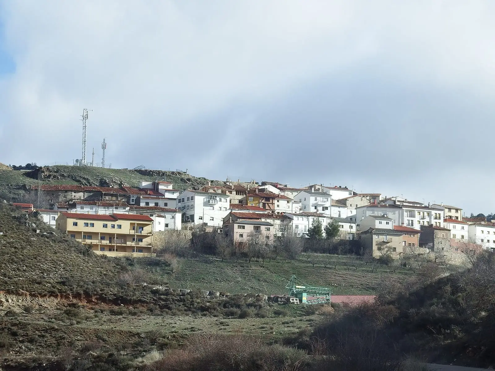
Salvacañete is a village in south-eastern Cuenca province, near the Valencia boundary, with remains of a medieval castle above its centre. It gives its name to the Salvacañete hoard, a Celtiberian silver deposit of over a hundred objects and around 75 coins, now divided among museums. It had 1,579 inhabitants in 1910 and 290 in 2021.
On this page 10 sections
A village on the route between Castile and eastern Spain
Salvacañete lies in south-eastern Serranía Baja (lower Serranía), very close to Valencia. It was a stopping place between Castile and eastern Spain, and its narrow streets follow the valley slope. The Asunción church, of medieval origin, presides over the centre, and remains of the wall and castle stand above, overlooking the valley.
Upstream, along the upper Cabriel, villages and farmsteads remain: El Masegar, with a San Quirico parish church dated to 1767, and La Nogueruela, a hamlet of Salvacañete. According to the popular-history writer who has travelled the river, the village was the forward post guarding Cañete towards the frontier.
The silver hoard
Salvacañete appears in archaeology books through its hoard, a Celtiberian silver deposit: around 118 objects and 74 or 75 coins, published by Juan Cabré in 1936. There are miniature weapons, pieces bearing symbols and coins, some pierced. It was hidden in the early 1st century BC.
Its discovery is uncertain: some say a hunter found it in 1934, others that it emerged in 1928 during roadworks. The exact location is unknown. The pieces passed through an antiques dealer, the National Archaeological Museum bought them in 1941 and a group reached the Cuenca Museum in 1976. The miniature weapons and pierced coins have led to its interpretation as an offering; it may also have been savings hidden in a time of danger.
The hoard was dispersed. Some coins remained at the Instituto Valencia de Don Juan, including a Sekaiza denarius, the only known example with a wolf, or a lioness, behind the bust. In 1940 the Civil Government seized a bracelet; in 1952 a brother of the finder brought another group to the National Archaeological Museum, which bought it in 1954, and an aunt’s heirs donated two bracelets and four coins to the Cuenca Museum. In that family’s recollection, the find was not made while hunting: a villager, «el Urbano» (known as Urbano), uncovered it in 1928 while digging a trench for the Albarracín road, beside the Virgen de Valdeoña hermitage, next to a 4th-century Roman villa with mosaic remains.
Hemingway slept here
In late September 1937, with the Teruel front close by, the Republic’s press office organised a journey for three foreign journalists: Ernest Hemingway, writing for NANA; Martha Gellhorn, of Collier’s, and Herbert Matthews, of the New York Times. They left Valencia on 20 September in a lorry with drivers and provisions, looked towards Teruel from the Alfambra hills and headed down towards Cuenca. According to Amanda Vaill in Hotel Florida, they slept in the lorry, parked in the yard of a Salvacañete farm, and were woken before dawn by donkeys braying. Next day they left the lorry and continued on horseback, with a cavalry escort, probably along the cart road then running from Salvacañete to Cuenca through Salinas del Manzano, Campillos-Sierra, Valdemoro and La Cierva. Those journeys to the Teruel front later fed into For Whom the Bell Tolls.
Carnival and St John’s Day
Before the war, at Carnival, young men dressed as the people they saw passing through the village, pedlars, dealers or travelling entertainers, with covered or blackened faces, and sang to the mayor from the square asking permission; then they serenaded young women, seeking donations. Chronicler Mariano López Marín recorded this from older people’s accounts in 1973. Before dawn on St John’s Day, women took clothing out of chests into the sun against moths, and young women went to wash their faces at springs beside the Cabriel. Near the river, beside rocks called El Rey and La Reina, a story tells of an enchanted princess appearing every hundred years and offering a choice between herself and a golden comb. It is told in Carnival of souls and St John’s Night.
Watching the weather
Chronicler Mariano López Marín has collected the signs used to predict weather: winged ants and snakes on paths, mules moving their ears while working on the threshing floor, pigeons bathing in the Cabriel, soot falling down the chimney, creaking wood or a cat washing itself. In the same talk, a meteorologist explained that some animals sense current changes in humidity or pressure, but that this cannot predict weather in the days ahead, and questioned the claims about mules and pigeons. The chronicler does not claim scientific value for them: this was what people did in a village when no other means were available.
Plan your visit
The centre and castle remains fill a morning. The hoard is not in the village: it can be seen at the National Archaeological Museum in Madrid and the Cuenca Museum.
Before you travel
View the castle remains without climbing the walls. Confirm church opening times with the town hall.
Combine with
Salinas del Manzano is 4.5 km away in a straight line and Alcalá de la Vega 8.1 km.
Frequently asked questions
What is the Salvacañete hoard?
A deposit of Celtiberian silver objects and coins found in the municipality, published by Juan Cabré in 1936. Today it is held mainly by the National Archaeological Museum, as well as the Instituto Valencia de Don Juan and the Cuenca Museum.
When and how was it found?
There are two versions. One places it in 1934, found by chance by a hunter; local chronicler Mariano López later reported that it happened in 1928 during roadworks. Neither the year nor the exact location is settled.
How many inhabitants does Salvacañete have?
290 in the 2021 census. Its peak was 1,579 in 1910, according to the INE.
Carry on from here
The rivers, zones, eras, places and official routes that the atlas links with Salvacañete.
Lands and landscapes
From here, follow the memory of the land
These readings connect Salvacañete with the stories, the work and the villages around it.
Places in the municipality and around it
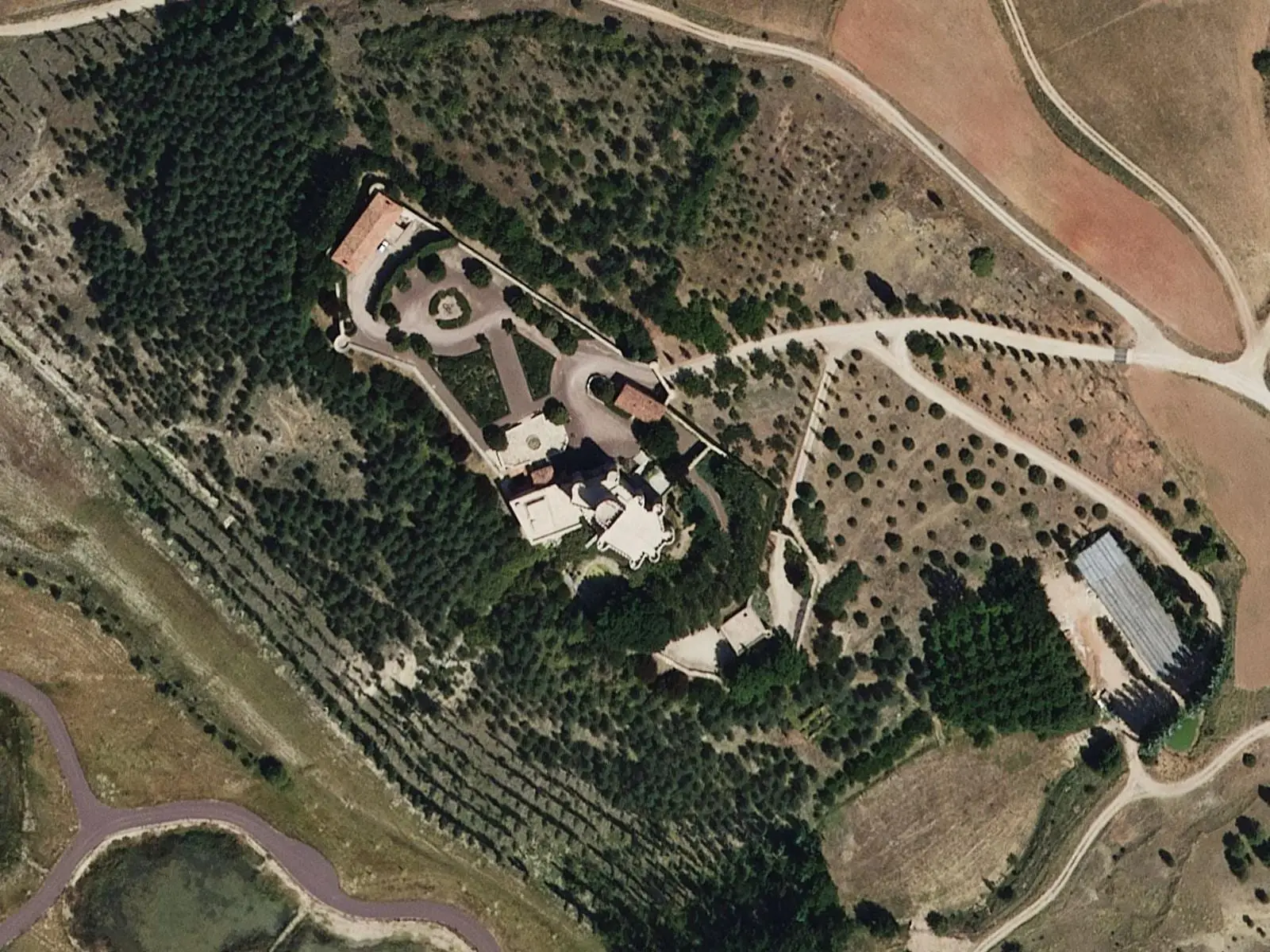
Near Salvacañete

Fuente del Royo picnic area
Huerta del Marquesado
Prao de San Roque picnic area
Huerta del MarquesadoPaisaje Ilustrado of Huerta del Marquesado
Huerta del MarquesadoSee 5 more

Fuente de la Ardilla picnic area
ValdemecaPaisaje Ilustrado of Valdemeca
Valdemeca
Valdemeca Visitor Reception Centre
Valdemeca
Centenar viewpoint
Valdemeca
Beamud viewpoint
BeamudPopulation of Salvacañete, 1842–2021
Salvacañete reached 1,579 inhabitants in 1910. The 2021 census counted 290, 82 % fewer. It is the story told in the emptying.
Location
● Reference point · ● Villages · ● Places
Location sketch. The map with paths and names loads as you scroll to it.
Approximate position: village centre.
Reference villages: Salinas del Manzano · Alcalá de la Vega · Huérguina · Tejadillos.
Open the full map and its historical layers →Where the data on this page come from
- Location
- IGN: Nomenclátor Geográfico Básico de España, capital de municipio (CC BY 4.0) source consulted, 9 October 2026
- Municipality (INE code)
- Turismo de Castilla-La Mancha source consulted, 4 October 2026
- Name
- Turismo de Castilla-La Mancha source consulted, 4 October 2026
«Source consulted»: the primary source has been read. «Reference located»: the source has been identified but not yet read. «Open question»: the figure needs confirmation.