Español

Heritage · Sotorribas

Church of San Juan Bautista, Ribatajada

The church of San Juan Bautista in Ribatajada, Sotorribas, is 13th-century Romanesque with 16th- and 17th-century additions. Its original features include the semicircular apse with an arrow slit, the cornice on plain corbels, the bell gable with two openings and a pointed doorway with three archivolts and foliate capitals, already transitional Gothic.
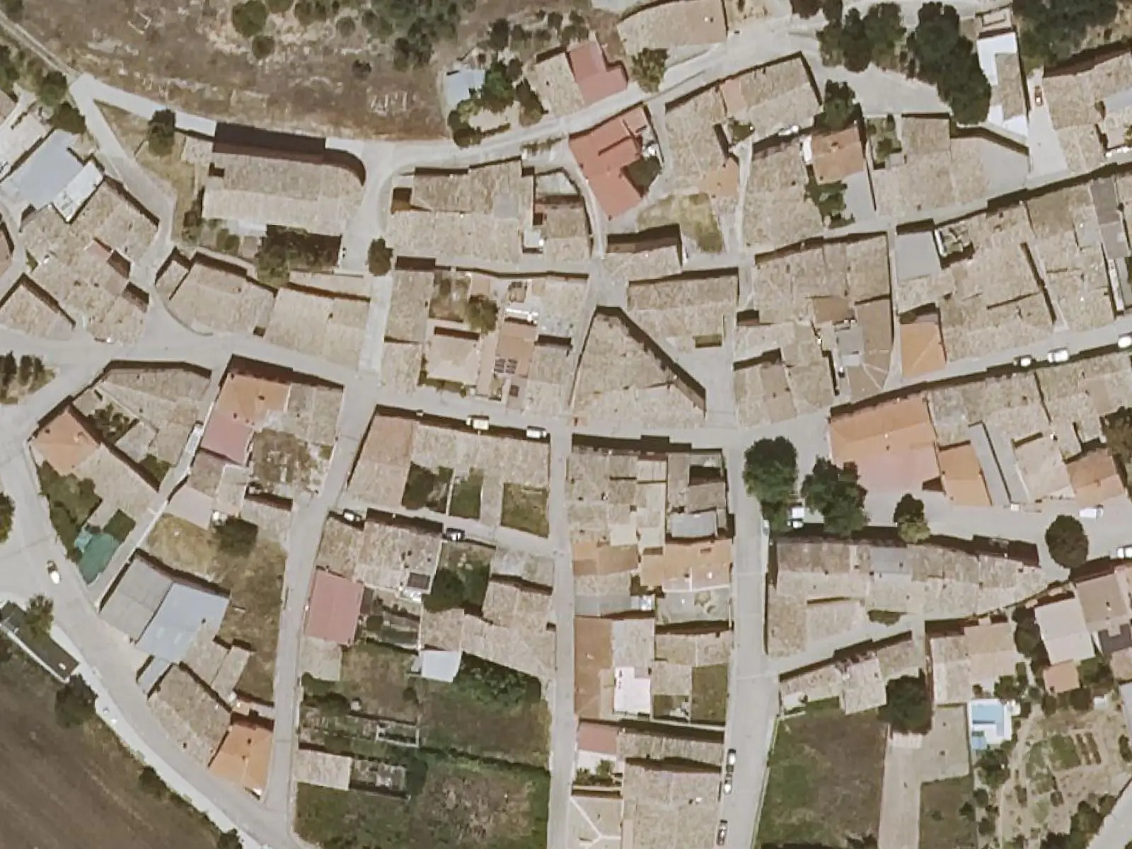
Aerial view of the church of San Juan Bautista and the houses of Ribatajada
The church of Ribatajada and its surroundings, from the air in 2024. Photo: «Ortoimagen», Sistema Cartográfico Nacional (2024) · CC BY 4.0
Municipality
Sotorribas
  • Romanesque
  • Campichuelo
  • Ribatajada
  • Sotorribas

A church of the 13th century, partly rebuilt in the 16th and 17th centuries, retaining three Romanesque features. The semicircular apse, with an arrow slit beneath a round arch and a cornice on very plain corbels, decorated with billets, nails and hammers. The bell gable with two openings, in the west wall, with a blocked pointed doorway at its base. And the doorway, in a projecting bay with a small tiled canopy: a pointed arch, three plain archivolts and six foliate capitals, already marking the transition from Romanesque to Gothic.

Plan your visit

Ribatajada is a village of Sotorribas, on the Campichuelo Romanesque route. Very close by is La Asunción in Ribatajadilla.

Carry on from here

Lands and landscapes

From here, follow the memory of the land

These readings connect Church of San Juan Bautista, Ribatajada with the stories, the work and the villages around it.

Where it is

Location of Church of San Juan Bautista, Ribatajada Abia de la ObispalíaAlbalate de las NoguerasAlbendeaArandilla del ArroyoArcos de la SierraChillarón de CuencaArrancacepasBascuñana de San PedroBuciegasBuenache de la SierraCanalejas del ArroyoCañamaresCañaverasCañizaresCastejónCastillejo-SierraCastillo-AlbaráñezLa CiervaCuencaFresneda de la SierraLa FronteraFuertescusaGascueñaHuélamoHueteLagunasecaLas MajadasMarianaOlmeda de la CuestaOlmedilla de ElizPalomeraLa PeralejaPineda de GigüelaPortillaPoyatosPriegoSan Pedro PalmichesSanta María del ValTorralbaTorrejoncillo del ReyTragaceteUñaValdeolivasVega del CodornoVillaconejos de TrabaqueVillalba de la SierraVillanueva de GuadamejudVillar de Domingo GarcíaVillar del InfantadoVillarejo de la PeñuelaVillas de la VentosaZarzuelaFuentenava de JábagaLos ValdecolmenasSotorribasVillar y Velasco PNSC-S2: Los CallejonesPR-CU 104: Sendero de la dehesa de los OlmosPR-CU 114: Sendero del Cucurucho y la HocecillaPR-CU 115: Sendero de la DehesaPR-CU 22: Ruta de El Calahorrano y el cerro de la CuevaPR-CU 23: Ruta del Covacho y El CallejónPR-CU 24: Ruta del cerro Calera y Los VallejosPR-CU 26: Ruta de la fuente de la HerreríaPR-CU 27: Ruta del Pado de NavelíarPR-CU 28: Ruta de las Fuentecillas y Los CallejonesPR-CU 30: Ruta del Gollizno y Las CanterasPR-CU 33: Ruta de la Piedra YunquePR-CU 35: Sendero de Los CeñosPR-CU 36: Sendero de la hoz del HuécarPR-CU 41: Sendero de la fuente del GalloPR-CU 42: Ruta del mirador del RodenalPR-CU 43: Ruta de la ribera del Escabas y La CerroyaPR-CU 48: De la Alcarria a la SierraSL-CU 10: Ruta de las Hoces de CuencaSL-CU 11: Ruta de la hoz del Júcar y San JuliánSL-CU 12: Sendero del HocinoSL-CU 13: Sendero del Cañizar Sotorribas
In colour, the municipality. The place does not yet have a verified location, so no point is drawn. Municipal boundaries: © IGN (CC BY 4.0). Route lines: simplified official tracks; source and GPX on each page.
Where the data on this page come from
Name
Municipality (INE code)

«Source consulted»: the primary source has been read. «Reference located»: the source has been identified but not yet read. «Open question»: the figure needs confirmation.