Heritage · Cañete
Puerta de San Bartolomé
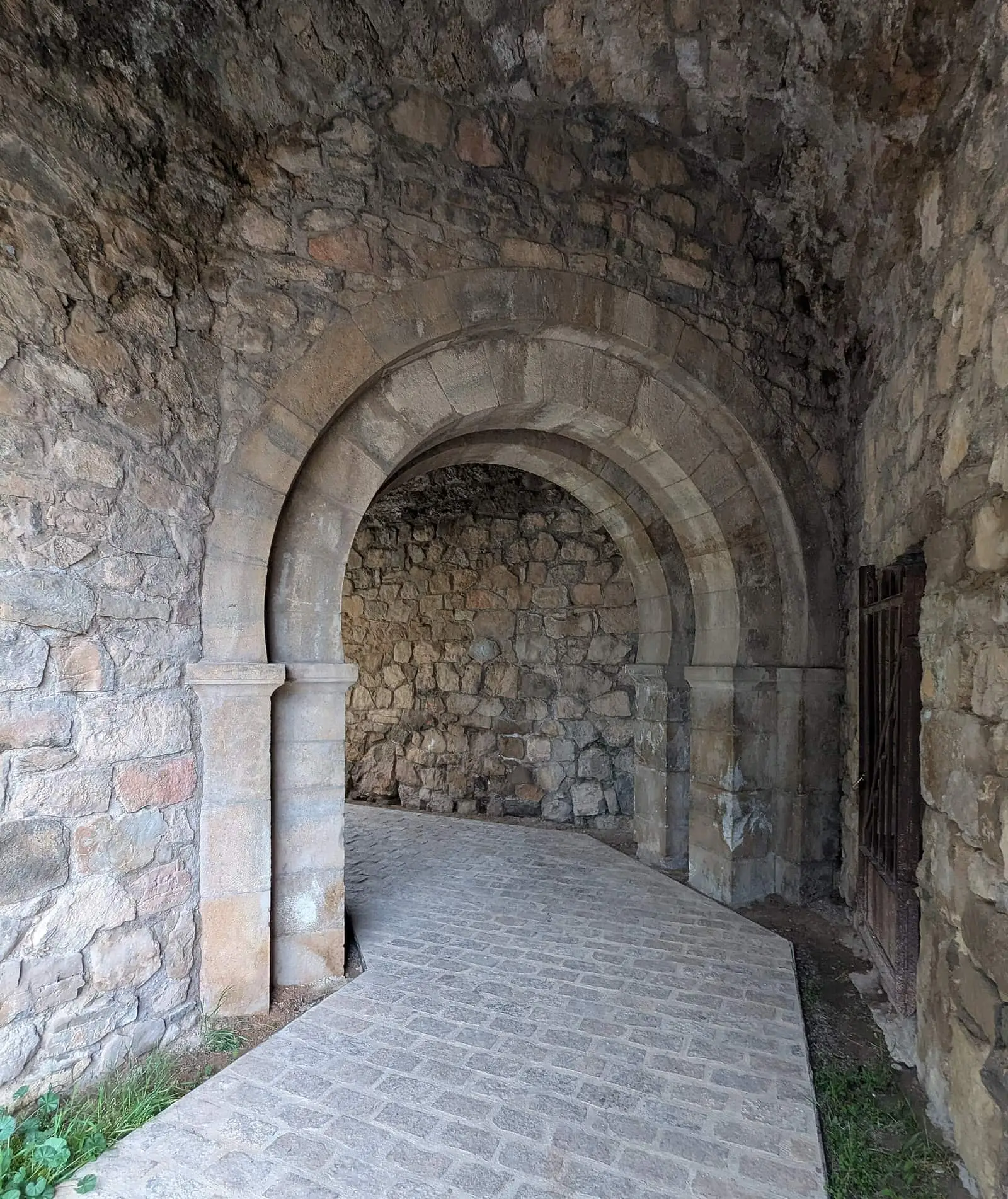
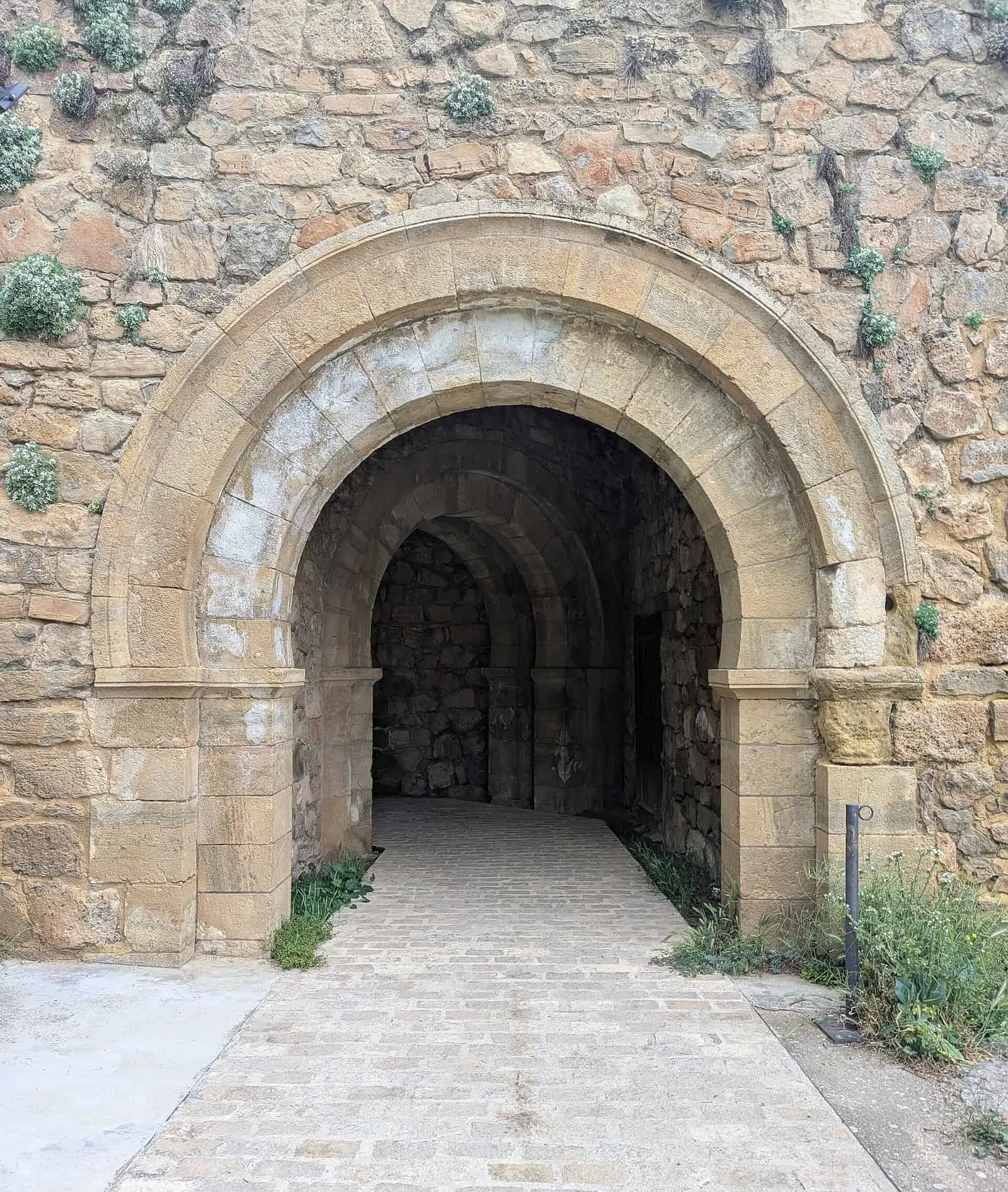
Puerta de San Bartolomé is one of two bent entrances in Cañete's wall, contemporary with Las Eras but simpler and smaller. It takes its name from a vanished hermitage, one of the town's six; beneath its arches began the northern road to the castles of Huélamo, Beteta and Albarracín and the villages of the Serranía Alta (upper Serranía).
- Municipality
- Cañete
- Puerta de San Bartolomé
- Town wall
- Bent entrance
- Cañete
- Hermitages
A bent entrance
This is one of Cañete’s two bent gates: entry involves turning between two gateways, with a portcullis in between. Before the arch, the wall projects outwards so defenders could attack anyone approaching. Within the bend, a narrow, steep stair climbed to the guardroom, from which the portcullis was operated and the wall-walk reached. It dates from the same period as Puerta de las Eras and follows its arrangement, more simply and on a smaller scale.
The road north
The name is later and derives from a hermitage that no longer exists. The road to the Serranía Alta (upper Serranía) began here: towards the castles of Huélamo, Beteta and Albarracín and the small upland villages.
Condition
Until a few years ago it was in very poor condition, missing much of its ashlar. Restoration recovered its form, although the upper floor is missing and the guardroom has almost collapsed.
Plan your visit
Combine with
The rest of the town walls and Puerta de la Virgen.

Frequently asked questions
Why is it called San Bartolomé?
After the now vanished San Bartolomé hermitage beside the gate. It was one of the town's six hermitages: San Antonio, San Roque, San Cristóbal, Santa Bárbara, San Bartolomé and Virgen de la Zarza, the only survivor.
Where did it lead?
Beneath its arches began the road north towards the castles of Huélamo, Beteta and Albarracín and the small villages of the Serranía Alta (upper Serranía).
Carry on from here
Lands and landscapes
From here, follow the memory of the land
These readings connect Puerta de San Bartolomé with the stories, the work and the villages around it.
Where it is
Where the data on this page come from
- Name
- Ayuntamiento de Cañete source consulted, 5 October 2026
- Municipality (INE code)
- Ayuntamiento de Cañete source consulted, 5 October 2026
«Source consulted»: the primary source has been read. «Reference located»: the source has been identified but not yet read. «Open question»: the figure needs confirmation.