Water · Valdemoro-Sierra
River Guadazaón
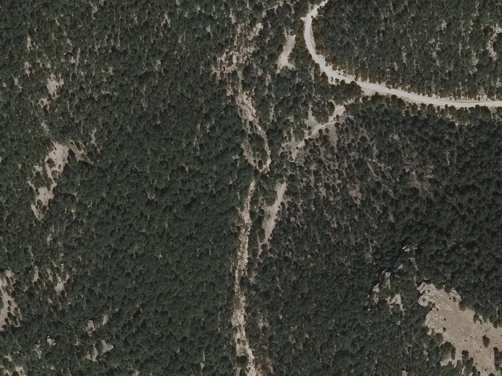
An upper stretch of the River Guadazaón was declared a River Nature Reserve in 2022, near Valdemoro-Sierra, above the Boniches Triassic aquifer. Almost unregulated and unaltered, it has black pine forest down to the channel, otters, bermejuela fish, native crayfish and dippers. Its main threat is the invasive signal crayfish.
- Municipality
- Valdemoro-Sierra
- River Guadazaón
- River Nature Reserve
- Valdemoro-Sierra
- Otter
- Cabriel
An almost intact river
In its headwaters, near Valdemoro-Sierra, the Guadazaón runs in a confined channel without dams: there is no regulation, discharge or abstraction of significance. The Council of Ministers therefore declared it a River Nature Reserve on 29 November 2022. It flows over the Boniches Triassic aquifer, and the banks are so steep that there is no riverside woodland: the black pine forest descends to the water.
Here live the otter, water vole, bermejuela, barbel and trout, native crayfish, water snakes and birds such as the kingfisher and dipper. The biggest problem is the signal crayfish, an invasive species occupying almost the entire stretch.
Plan your visit
Before you travel
Paths from Valdemoro-Sierra cross or follow the channel: do not introduce crayfish or fish from elsewhere, and clean your footwear if coming from another river.
Combine with
Los Casares and La Balsa de Valdemoro-Sierra.
Frequently asked questions
What is a River Nature Reserve?
A river stretch in very good condition which the Ministry protects to conserve it. The Guadazaón reserve (ES080RNF173) was designated by a Council of Ministers agreement of 29 November 2022.
Which animals live there?
Otters, water voles, bermejuela fish, Mediterranean barbel, trout, native crayfish, water snakes and birds such as kingfishers and dippers, among others.
Carry on from here
Lands and landscapes
From here, follow the memory of the land
These readings connect River Guadazaón with the stories, the work and the villages around it.
Where it is
Where the data on this page come from
- Name
- Ministerio para la Transición Ecológica y el Reto Demográfico source consulted, 4 October 2026
- Village
- MITECO: Reserva Natural Fluvial del río Guadazaón, medidas de gestión (rutas desde Valdemoro-Sierra) source consulted, 14 October 2026
- Municipality (INE code)
- MITECO: Reserva Natural Fluvial del río Guadazaón, medidas de gestión (rutas desde Valdemoro-Sierra) source consulted, 14 October 2026
«Source consulted»: the primary source has been read. «Reference located»: the source has been identified but not yet read. «Open question»: the figure needs confirmation.