Village · Cuenca
Valdemoro-Sierra
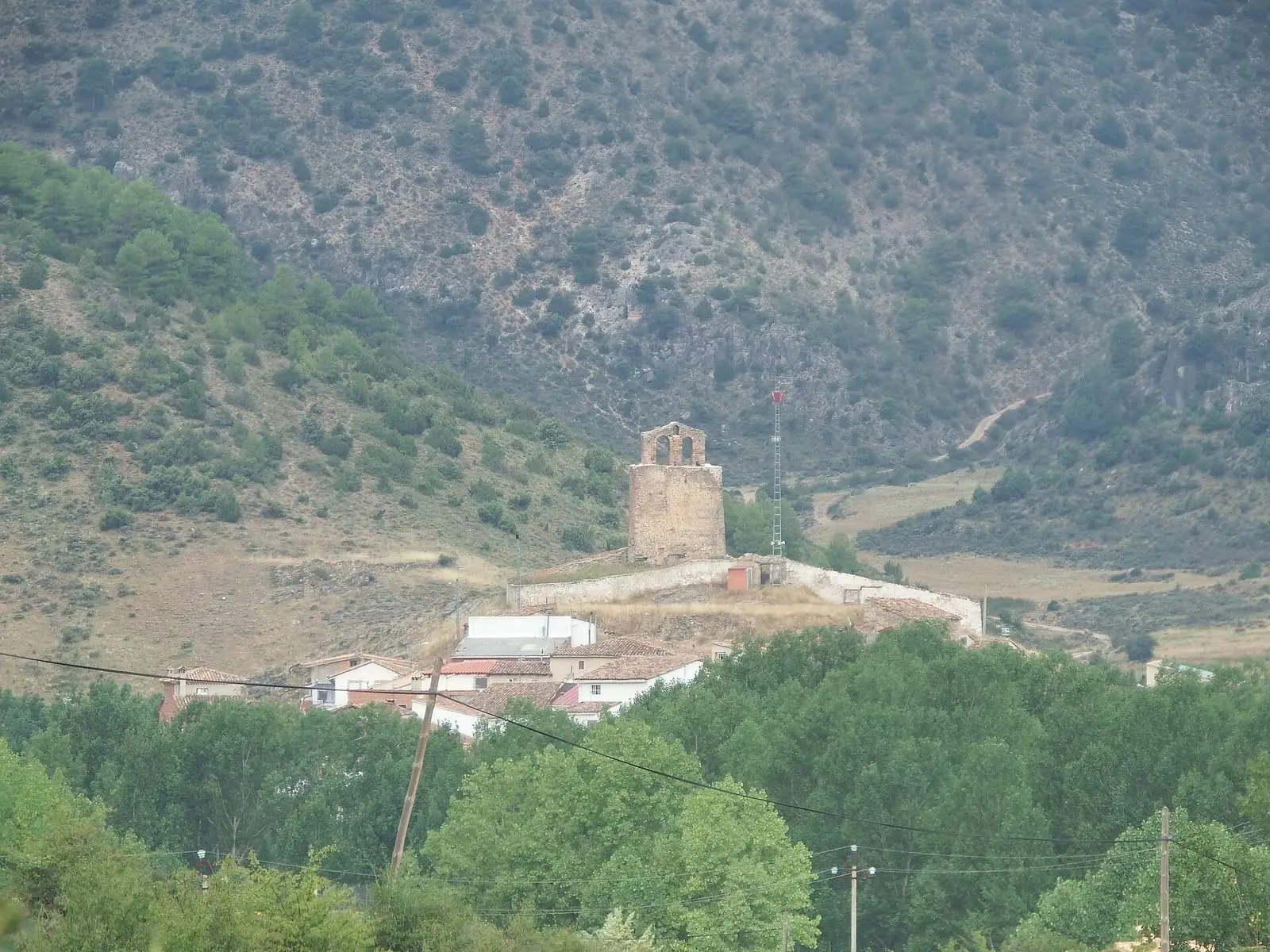
Valdemoro-Sierra is a village in eastern Cuenca province, of Mediterranean woodland and pine forest near the Cabriel valley, with Nuestra Señora de la Asunción church at its centre and a festival on 15 August. The rock-cut structure of Los Casares, whose interpretation is disputed, lies in its municipality. It had 1,048 inhabitants in 1940 and 116 in 2021.
On this page 8 sections
A village of woodland and pine forest
Valdemoro-Sierra lies in the east of the province, in mountainous terrain covered by continuous pine forest. The centre is built of rubble stone, its streets following the slope, with the Asunción church at its heart; the main festival is on 15 August, for the Virgin. People lived from woodland and livestock.
What trades and memory tell
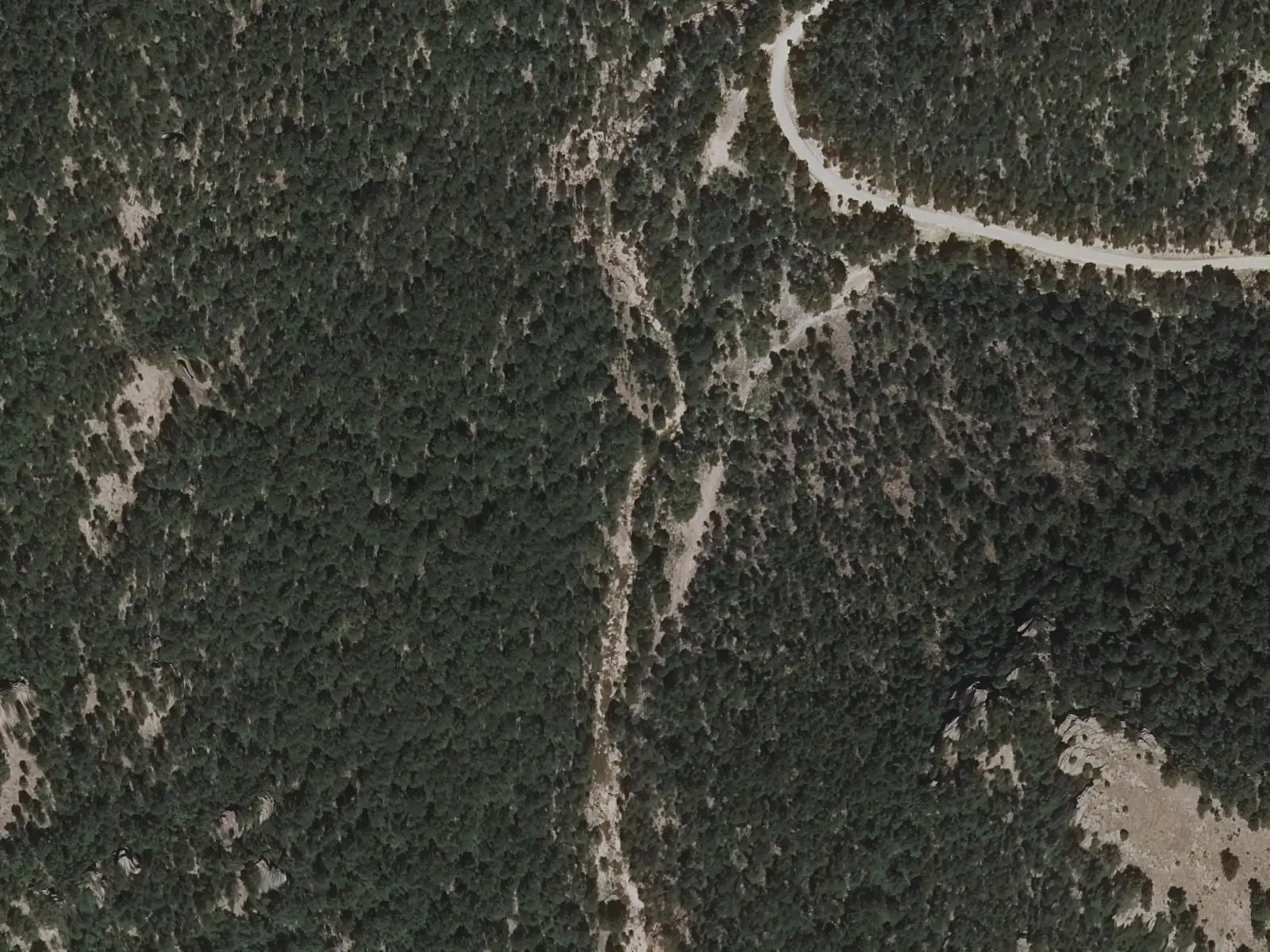
Within the municipality is Los Casares, a pre-Roman settlement with a rock-cut structure covered by two slabs, with two terraces and carved steps. It has been proposed as an oracle sanctuary beside the settlement; neither function nor date is proven.
Nearby are two named rocks, La Cara and La Balsa.
A popular-history writer from the CuenCANP association places Los Casares beside the Prado Moralejo stream and calls it a Bronze Age settlement, without citing excavation or study: this remains another interpretation. Nearby were a pond and a channel carrying water to a mill.
At La Balsa, on rainy days, water falls in a broad curtain over a large tufa wall with several faces. In 2022, according to guide Fernando Carreras, the site already had directions, a picnic area and a fountain, whereas previously it was scarcely signposted.
Routes
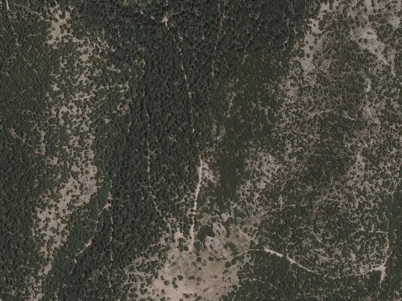
The PR-CU 20 (short-distance trail), Ruta de los Castillos, is a 14 km circuit. It leaves Las Escuelas along the path to the Carrasca de la Joya, descends to the Prao Moralejo stream and climbs steeply to the castles of Las Navazas, El Aljibe and La Sierra. It returns by the old Castillos path and Hernando ravine.
Plan your visit
The village takes little time to see. PR-CU 20 needs a day and good footwear.
Before you travel
Part of PR-CU 20 crosses ground without a clear path and timber-dragging tracks, and the stream becomes difficult after heavy rain. Los Casares is an archaeological site: do not touch it.
Combine with
Campillos-Sierra is 6 km away in a straight line, Valdemorillo de la Sierra 7 km and La Cierva, with Las Hoyas, 8.8 km.
Frequently asked questions
What is Los Casares?
A site called a Celtic oppidum in the archaeological literature, with a rock-cut structure covered by two slabs, terraces and carved steps. It has been interpreted as an oracular sanctuary, but this is a published proposal requiring caution, and its chronology is unconfirmed.
Which approved trail is there?
PR-CU 20, Ruta de los Castillos, 14 km, 522 m of accumulated elevation gain and about 4 hours. It climbs to the castles of Las Navazas, El Aljibe and La Sierra, with a steep section where Senderos de Cuenca advises caution.
When is the festival?
Around the Virgen de la Asunción feast on 15 August, according to Castilla-La Mancha Tourism.
Carry on from here
The rivers, zones, eras, places and official routes that the atlas links with Valdemoro-Sierra.
Lands and landscapes
From here, follow the memory of the land
These readings connect Valdemoro-Sierra with the stories, the work and the villages around it.
Traces in the village and around it
Which eras you can read here
A single place can keep traces of several periods. These layers connect what you see with the atlas's stories.
Places in the municipality and around it
Official routes
Near Valdemoro-Sierra

Prao de San Roque picnic area
Huerta del MarquesadoPaisaje Ilustrado of Huerta del Marquesado
Huerta del Marquesado
Fuente del Royo picnic area
Huerta del MarquesadoSee 5 more

Fuente de la Ardilla picnic area
Valdemeca
Las Hoyas
La Cierva
Beamud viewpoint
Beamud
Fuente de los Pastores picnic area
Beamud
Valdemeca Visitor Reception Centre
ValdemecaPopulation of Valdemoro-Sierra, 1842–2021
Valdemoro-Sierra reached 1,048 inhabitants in 1940. The 2021 census counted 116, 89 % fewer. It is the story told in the emptying.
Location
● Reference point · ● Villages · ● Places · ━ Routes nearby
Location sketch. The map with paths and names loads as you scroll to it.
Approximate position: village centre.
Reference villages: Campillos-Sierra · Valdemorillo de la Sierra · La Cierva · Huerta del Marquesado.
Open the full map and its historical layers →Where the data on this page come from
- Location
- IGN: Nomenclátor Geográfico Básico de España, capital de municipio (CC BY 4.0) source consulted, 9 October 2026
- Municipality (INE code)
- Turismo de Castilla-La Mancha source consulted, 4 October 2026
- Name
- Turismo de Castilla-La Mancha source consulted, 4 October 2026
«Source consulted»: the primary source has been read. «Reference located»: the source has been identified but not yet read. «Open question»: the figure needs confirmation.