Water · Víllora
Gorge of the River San Martín (Víllora)
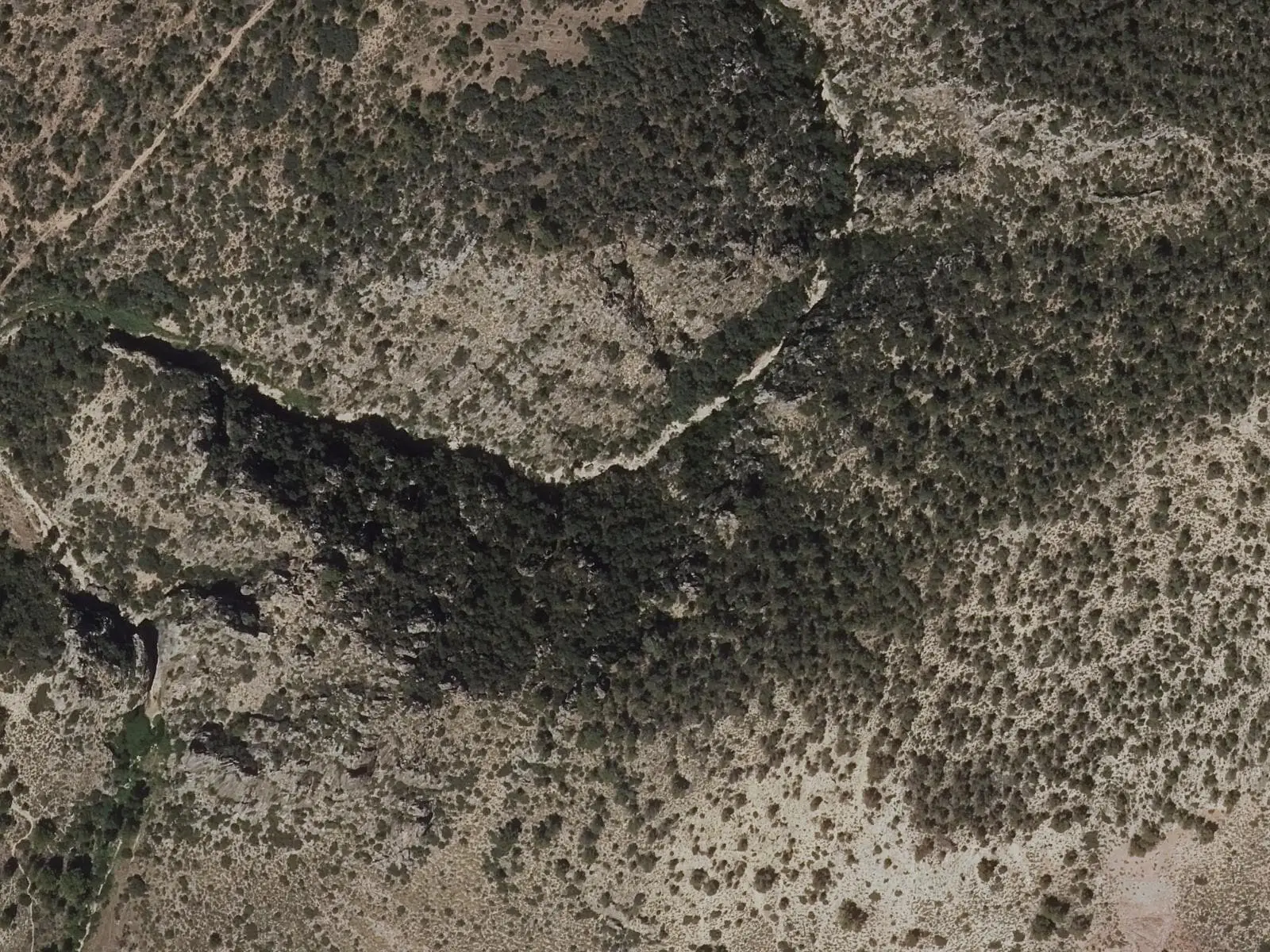
The River San Martín enters a deep gorge at Víllora. Above it, at Virgen de Castil de Olivas, a tongue of land dominates the channel among blade-like rock ridges. Mirador de las Hoces, a few minutes off the PR-CU 55, overlooks the gorge beside the village, and Los Encaños spring emerges near the channel.
- Municipality
- Víllora
- Gorge
- River San Martín
- Víllora
- Castil de Olivas
- PR-CU 55
Rock blades above the river
The San Martín, descending towards the Cabriel, enters a deep gorge beside Víllora. At Virgen de Castil de Olivas, a tongue of land rises above the channel and commands its full course; around it, the rock forms blades, sharp ridges left standing by erosion.
The PR-CU 55, the circuit around Cabeza de Víllora, a PR (short-distance trail), has a short spur to Mirador de las Hoces, with the gorge at the village’s feet, and passes near the channel at Los Encaños spring.
Plan your visit
Before you travel
The blades are loose rock: look from above, without approaching the edge.
Combine with
Las Chorreras del Cabriel, in the same municipality, and Víllora castle.
Frequently asked questions
How can the gorge be seen?
From Mirador de las Hoces, on a spur a few minutes from the PR-CU 55, Vuelta a Cabeza de Víllora, and from Virgen de Castil de Olivas, on the tongue of land dominating the channel.
Carry on from here
Lands and landscapes
From here, follow the memory of the land
These readings connect Gorge of the River San Martín (Víllora) with the stories, the work and the villages around it.
Where it is
Where the data on this page come from
- Name
- Ayuntamiento de Víllora source consulted, 5 October 2026
- Ayuntamiento de Víllora source consulted, 5 October 2026
- Municipality (INE code)
- Ayuntamiento de Víllora source consulted, 5 October 2026
- Ayuntamiento de Víllora source consulted, 5 October 2026
«Source consulted»: the primary source has been read. «Reference located»: the source has been identified but not yet read. «Open question»: the figure needs confirmation.