Industrial heritage · Villalba de la Sierra
Salto de Villalba
The Salto de Villalba is Villalba de la Sierra's hydroelectric station, opened in 1926 to supply electricity to Madrid. A roughly twenty-kilometre canal brought Júcar water from La Toba reservoir through Laguna de Uña to a storage basin above the station. A workers' settlement grew beside it, losing its population as the plant was automated.
- Municipality
- Villalba de la Sierra
- Salto de Villalba
- Hydroelectric station
- Júcar
- Workers' settlement
- 1926
Electricity from the Júcar for Madrid
In 1926 a power station known locally as El Salto began operating in Villalba de la Sierra. Water left La Toba reservoir, passed through Laguna de Uña, enlarged by damming, and continued along a canal suspended on the Júcar cliffs, with tunnels and a siphon, to a storage basin above the turbines. The works changed the lake: its tufa cascade, visible from the Travertino viewpoint, stopped flowing.
At the station’s foot a settlement was built with a school, church and company shop, arranged by occupation. It had electricity and drinking water before the village. With automation, vacant posts went unfilled and the settlement gradually emptied.
The full story, in the voices of those who lived there: The Salto de Villalba: a hundred years of electricity on the Júcar.
Plan your visit
Before you travel
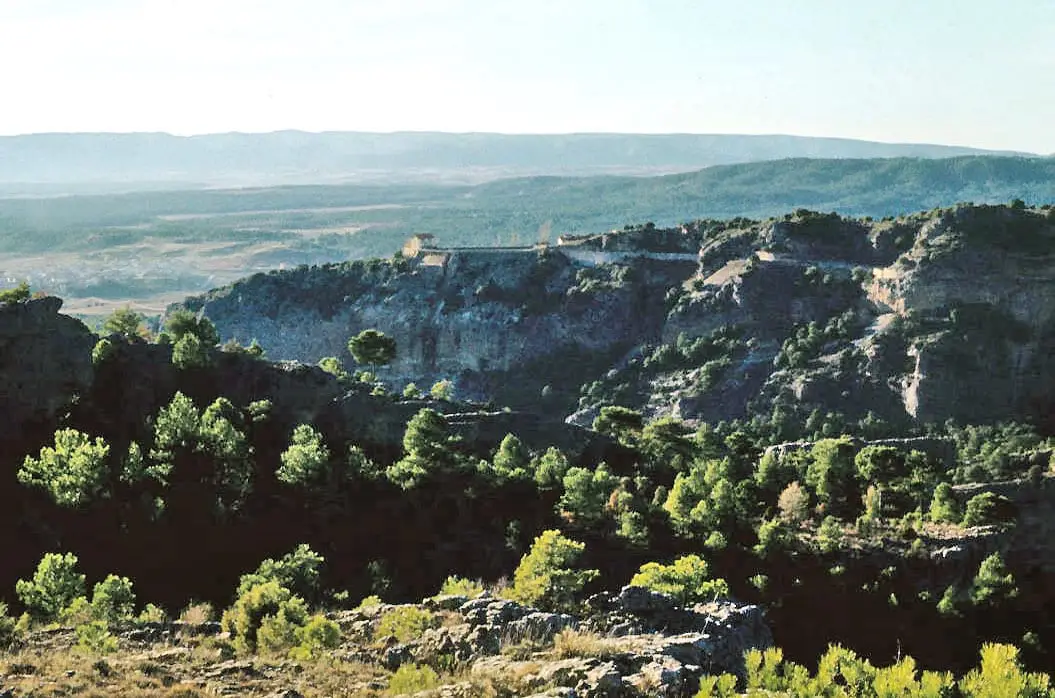
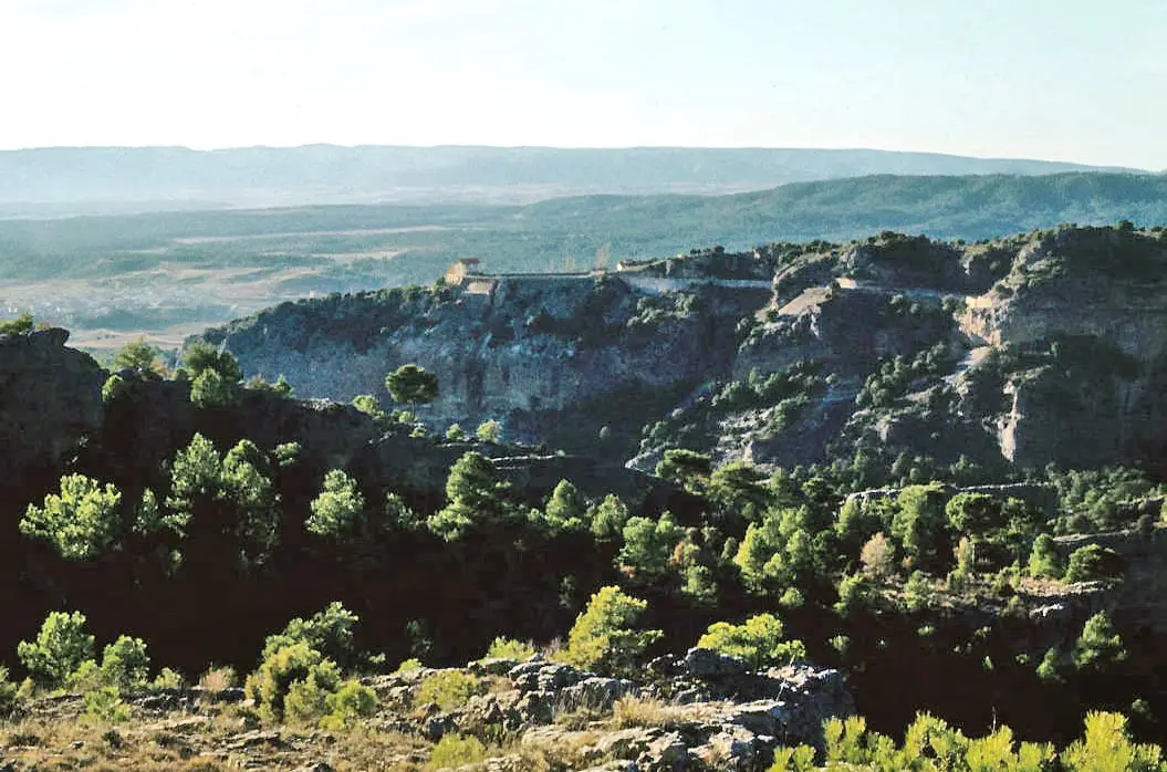
The station is private and still operates: view it from outside. The best view of the settlement is from El Salto viewpoint, among the Villalba viewpoints.
Combine with
The Ventano del Diablo, above the same canyon.
From the archive
Frequently asked questions
Does it still operate?
Yes. The station remains in service; some houses in the settlement have been restored and the rest are ruins.
Can it be seen?
From outside. El Salto viewpoint, on the ridge above the village, overlooks the settlement.
Carry on from here
Rivers and basins
Following the water from Salto de Villalba
Follow these watercourses to where they meet, to their villages and to the memories of their basin.
Lands and landscapes
From here, follow the memory of the land
These readings connect Salto de Villalba with the stories, the work and the villages around it.
This place through time
Which eras you can read here
A single place can keep traces of several periods. These layers connect what you see with the atlas's stories.
Where it is
Where the data on this page come from
- Name
- Vestal Etnografía: «Cien años del Salto de Villalba. La obra del siglo en la memoria de Villalba de la Sierra» (vídeo, fuente oral) source consulted, 5 October 2026
- Finantres Noticias: «Cuenca recupera la obra hidráulica que convirtió el Júcar en energía hace un siglo» reference located, 5 October 2026
- Cadena SER Cuenca source consulted, 5 October 2026
- Village
- Vestal Etnografía: «Cien años del Salto de Villalba. La obra del siglo en la memoria de Villalba de la Sierra» (vídeo, fuente oral) source consulted, 5 October 2026
- Municipality (INE code)
- Cadena SER Cuenca source consulted, 5 October 2026
«Source consulted»: the primary source has been read. «Reference located»: the source has been identified but not yet read. «Open question»: the figure needs confirmation.