Viewpoint · Uña
Travertino viewpoint, Uña
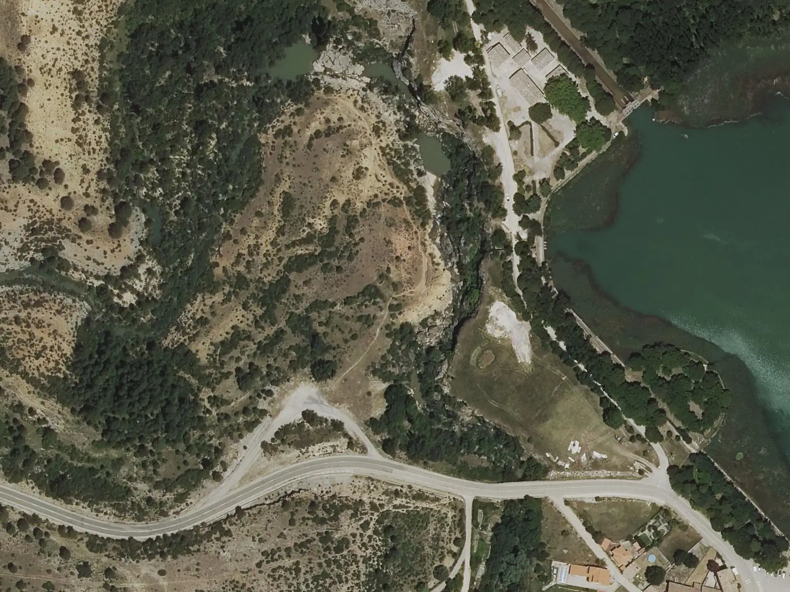
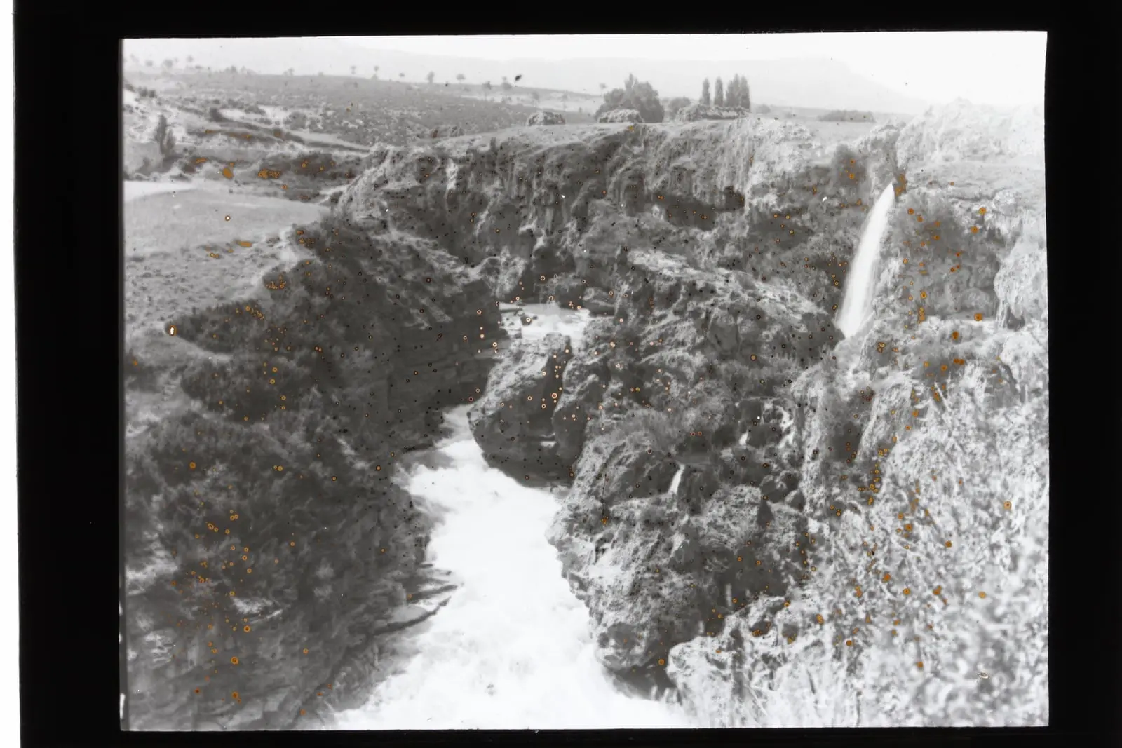
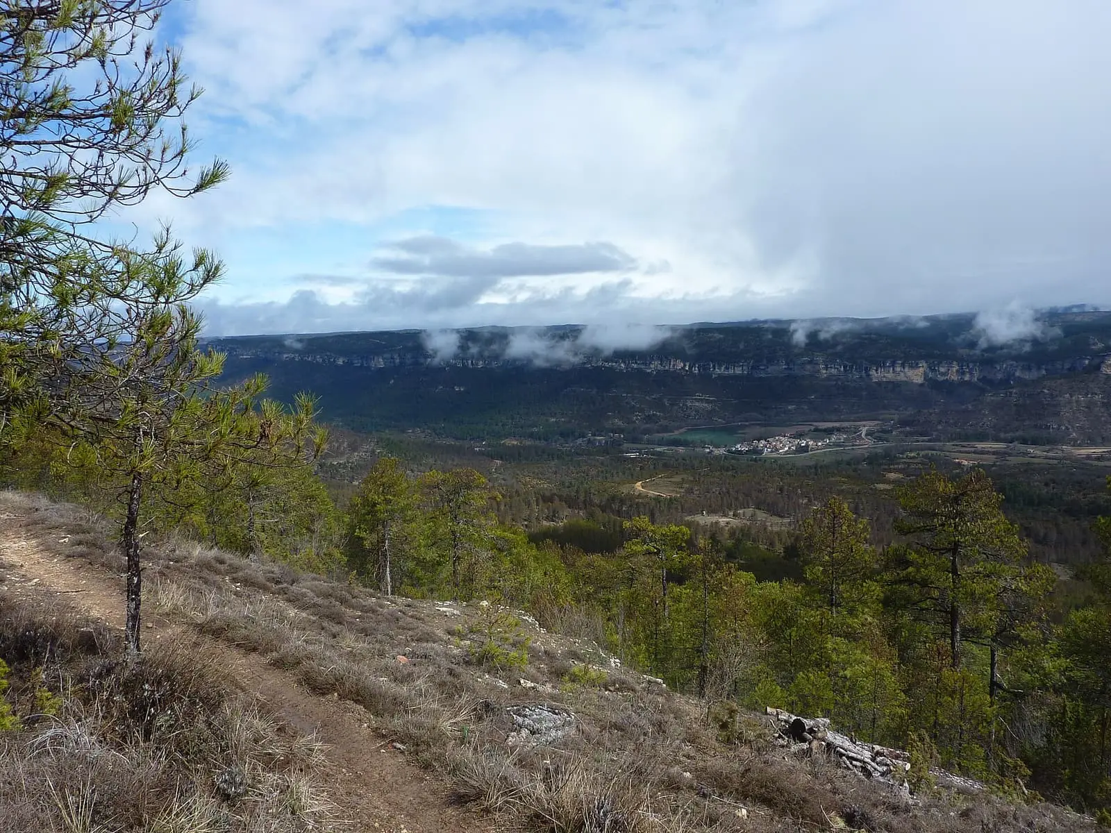
Travertino viewpoint is very close to Uña, facing the tufa cascade that enclosed the lake where it drained into the Júcar. The cascade has been dry since river water was diverted from La Toba reservoir to the Villalba de la Sierra power station, leaving a wall of rock formed by the water itself.
- Municipality
- Uña
- Viewpoint
- Travertine
- Tufa
- Laguna de Uña
- Júcar
A stone cascade
Laguna de Uña drained into the Júcar over a travertine cascade: lime-rich water deposited tufa layer by layer until it formed a barrier, as at the source of the Cuervo. The Park guide calls it a fossil cascade and places it where the Arroyo del Rincón joined the Júcar.
Today it does not flow. When river water began to be diverted from La Toba reservoir towards the power station at Villalba de la Sierra, the lake’s water regime changed and the cascade dried up. The Salto de Villalba entry tells the story of those works.
Guide Fernando Carreras explains that before construction the lake was a natural impoundment of the Arroyo del Rincón, overflowing across the barrier towards the Júcar, and that a wall, which he dates to 1925, enlarged it and diverted the water towards the Salto canal. The tufa retains casts of the plants on which the lime accumulated; it is a porous rock that breaks easily. In 2021 a small stream of water still fell from the spillway.
In May 2024 the Natural Park director announced a project to return water to part of the barrier: using the flow from the Arroyo del Rincón allocated to it by the new Júcar River Basin Plan, conveying it through channels to the top of the travertine and allowing it to fall into the Júcar, so that vegetation and tufa would return. The regional government of Castilla-La Mancha was funding it with €209,582.77 in European funds, Tragsa would carry it out and the estimated duration was around six months. The mayor spoke of around 200 litres per second and a drop of 50 to 60 metres, and said they had searched the archive for photographs of the flowing water without finding any. Completion of the works is not recorded here.
Plan your visit
Before you travel
It is a short distance from Uña. Access is difficult with reduced mobility, and the barrier marks the limit: beyond it is a high cliff above the river.
Combine with
The Uña Visitor Centre, with a model of the lake before enlargement, and the PR-CU 37, a PR (short-distance trail).
From the archive
Frequently asked questions
Why does no water fall over the cascade?
Because the lake's water regime changed when Júcar water was diverted from La Toba reservoir to the Villalba de la Sierra hydroelectric station. The cascade is inactive.
Is it accessible?
Access may be difficult for people with reduced mobility. Do not go beyond the barrier: there is a considerable drop to the Júcar riverbed.
Carry on from here
Lands and landscapes
From here, follow the memory of the land
These readings connect Travertino viewpoint, Uña with the stories, the work and the villages around it.
Where it is
● Reference point · ● Villages · ● Places · ━ Routes nearby
Location sketch. The map with paths and names loads as you scroll to it.
Reference villages: Uña · Las Majadas · Villalba de la Sierra · Buenache de la Sierra.
Open the full map and its historical layers →More viewpoints nearby
See all →
Where the data on this page come from
- Name
- Rewilding España source consulted, 4 October 2026
- Municipality (INE code)
- Rewilding España source consulted, 4 October 2026
- Location
- Rewilding España source consulted, 4 October 2026
«Source consulted»: the primary source has been read. «Reference located»: the source has been identified but not yet read. «Open question»: the figure needs confirmation.